Ha Giang Loop

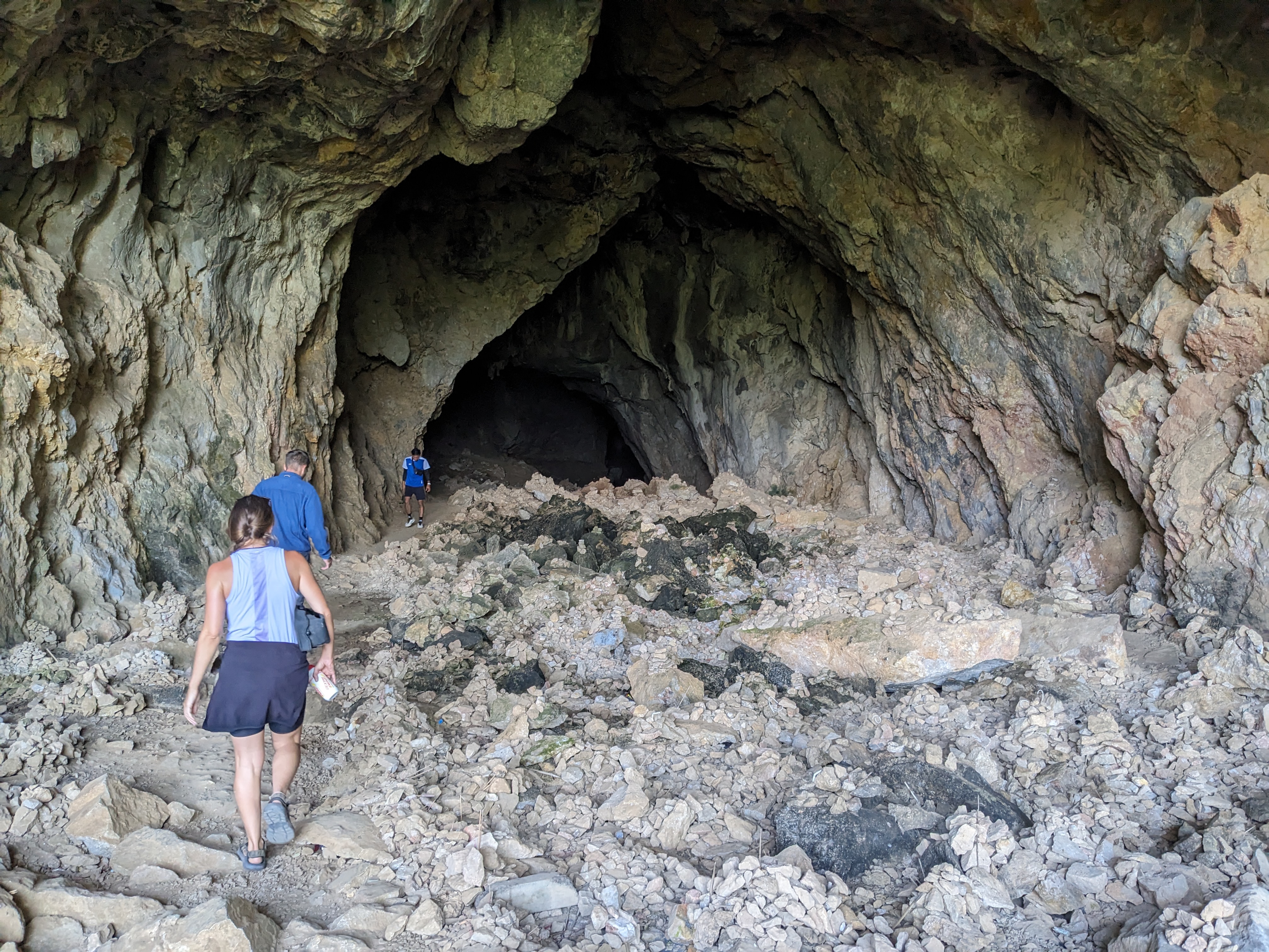
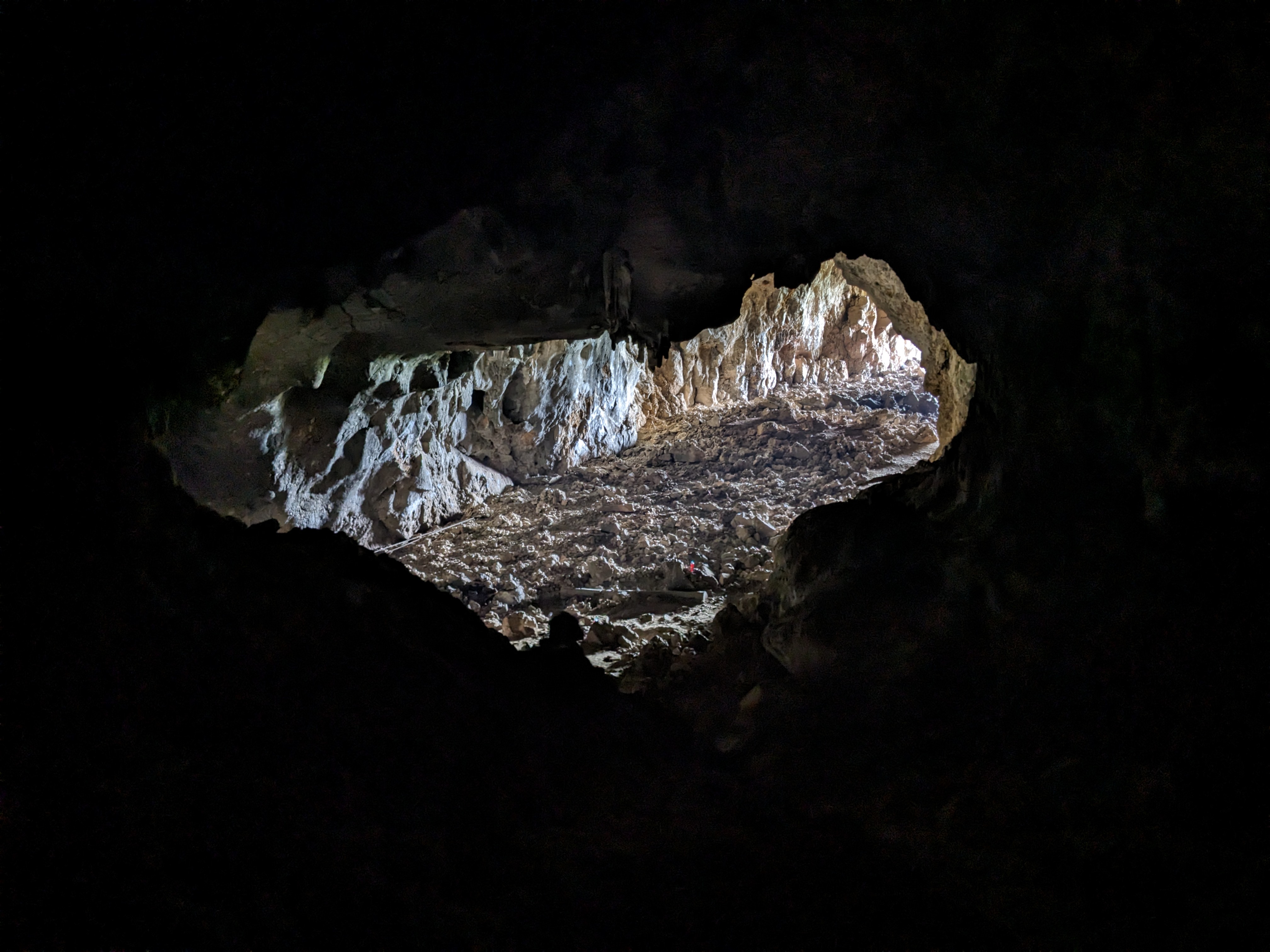
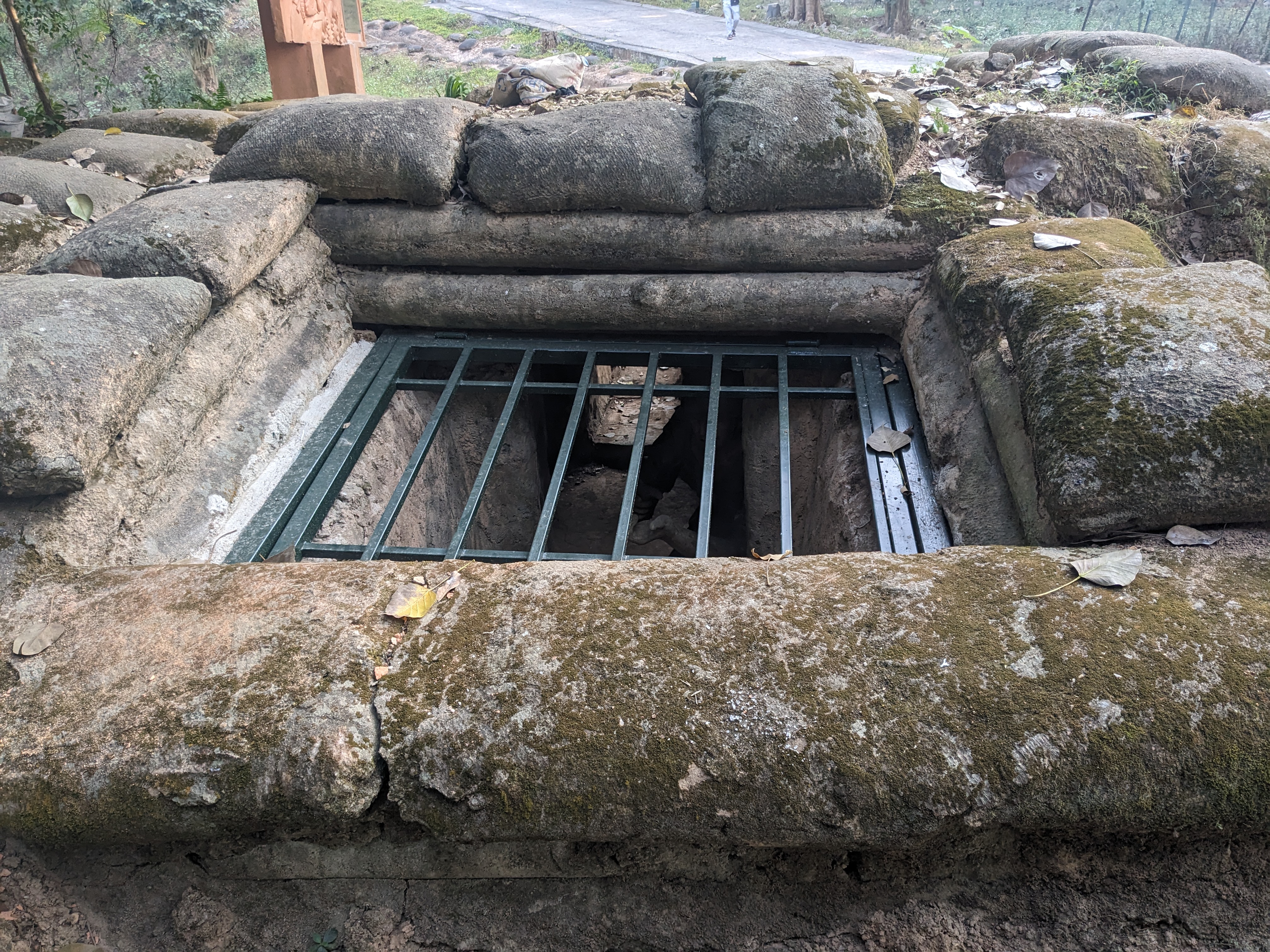
Crossing the Laos-Vietnam border proved surprisingly smooth, and I was soon peddling towards Dien Bien Phu, a city etched with the scars of the First Indochina War. The A1 hill and its battlegrounds, alongside the monumental relics, offered a poignant glimpse into the historic conflict that led to France relinquishing its hold on Indochina. It was fascinating to be able to explore the scene of the battle, walking through the tunnels and trenches that cut into the hill.

I enjoyed a large lunch at an all you can eat restaurant, which I’d later go on to regret waking up that night with bad stomach cramps.

The following day became quite a struggle, as persistent stomach pain resulted in me not eating enough. After cycling through some beautiful landscapes, but not taking much of it in that afternoon I crashed in a hotel room allowed me a much-needed reprieve.

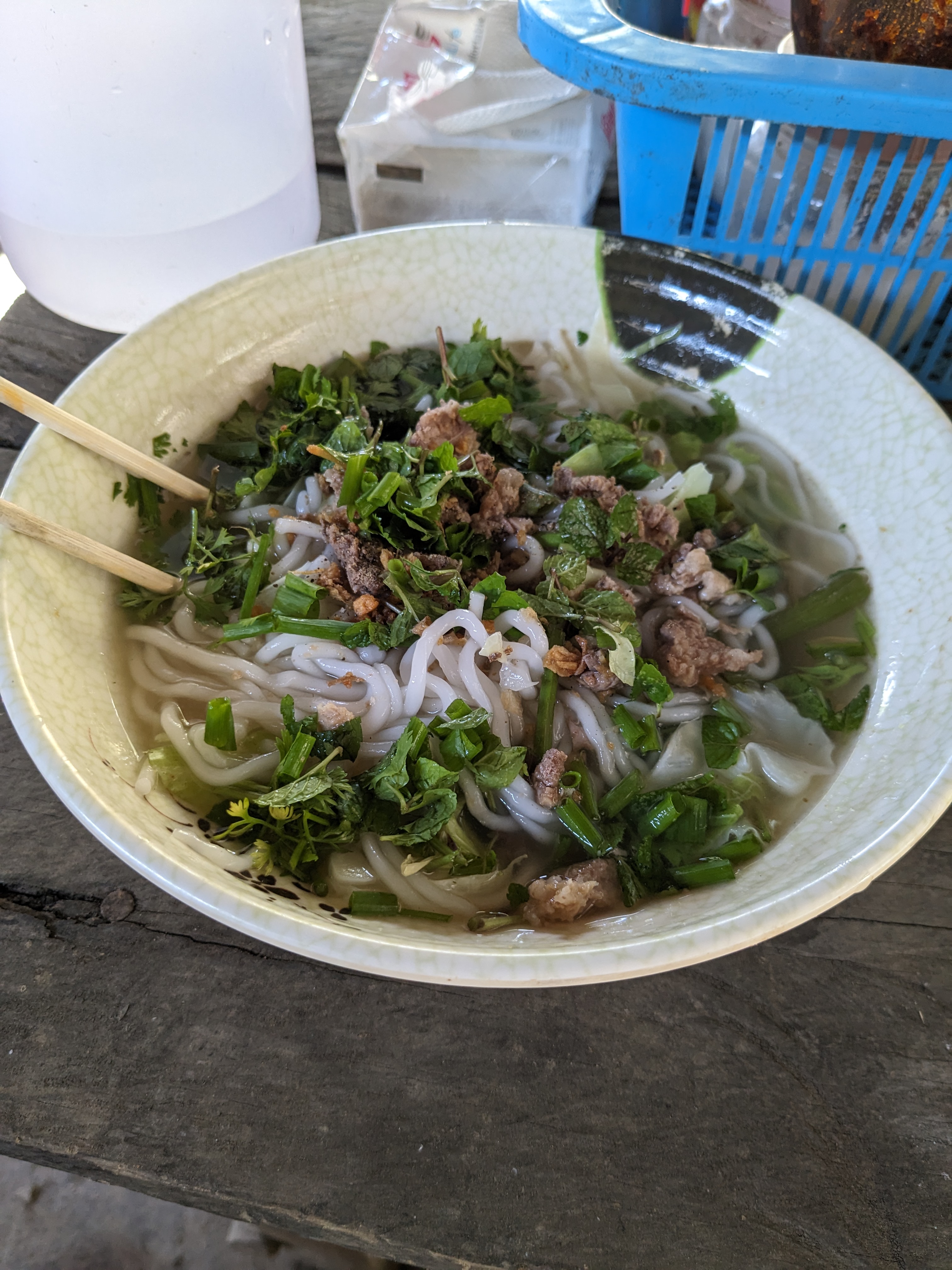
The following morning I was feeling better and continued north enjoying my first bowl of pho, despite some uncertainty about its contents.

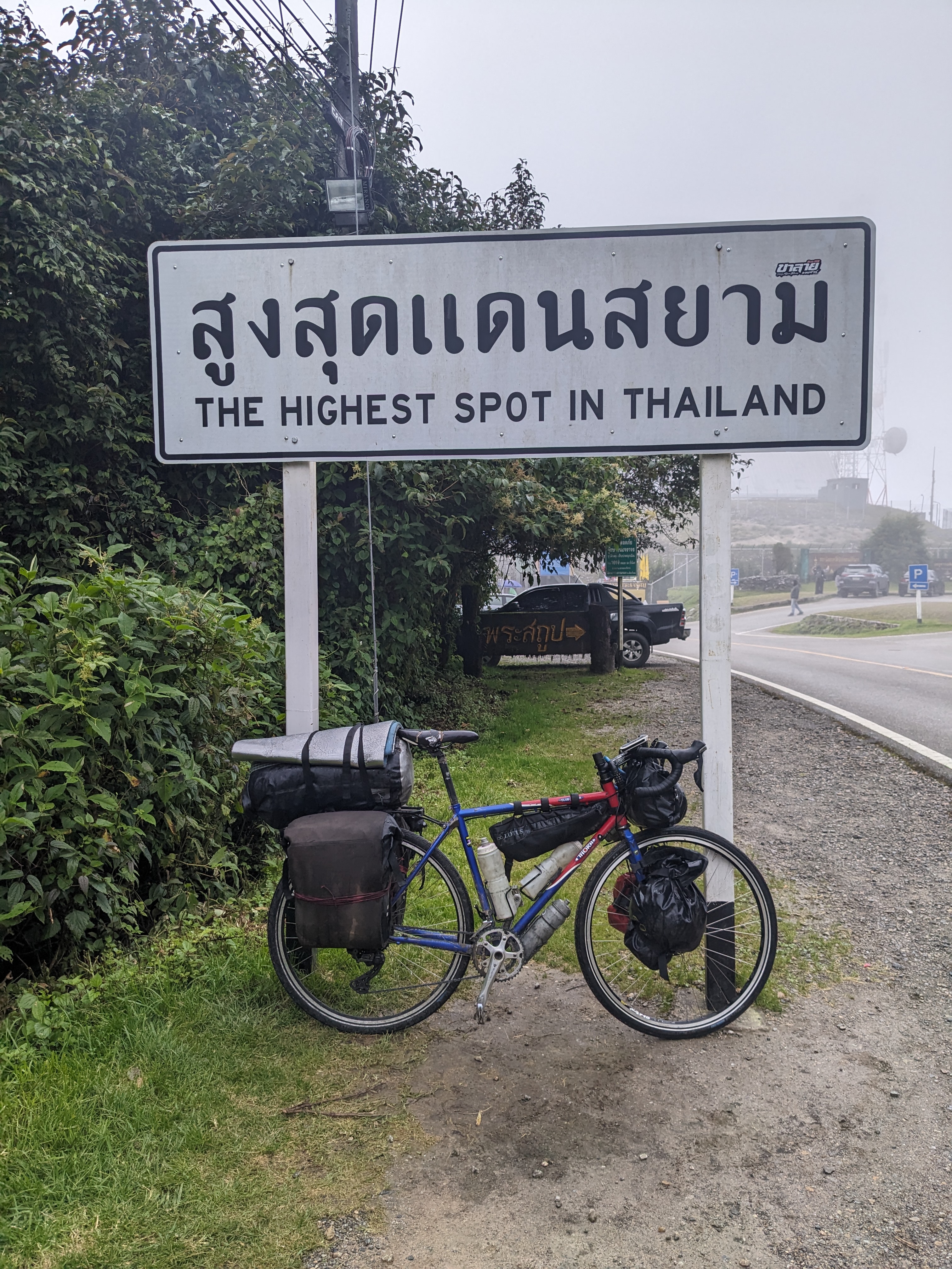
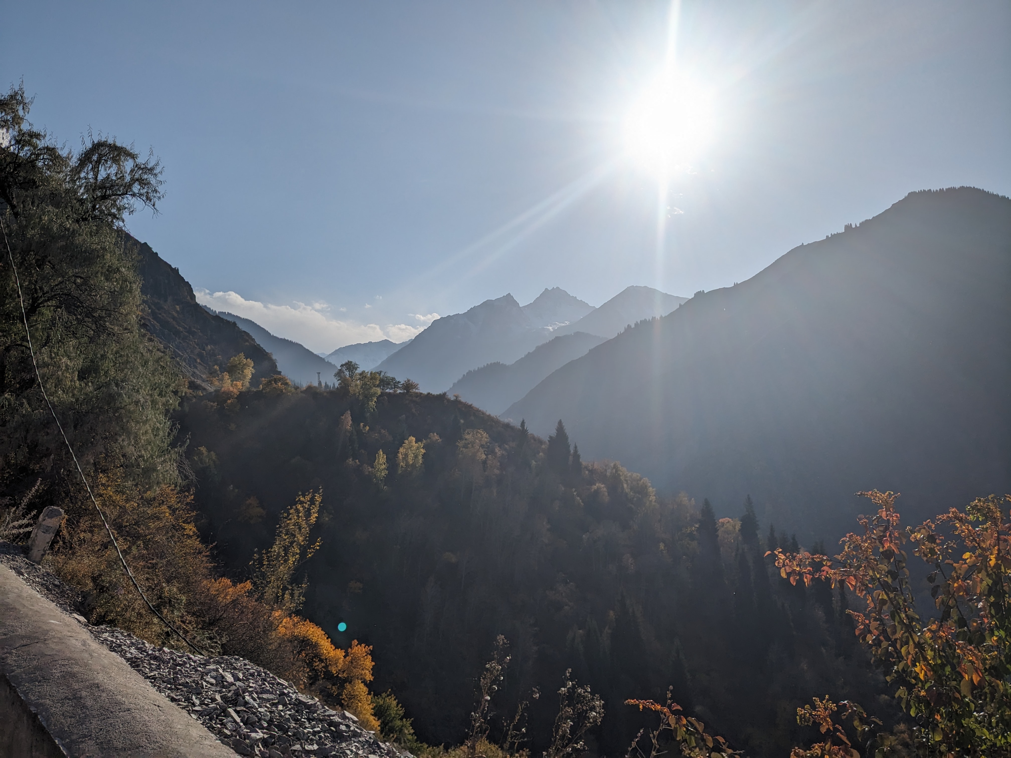
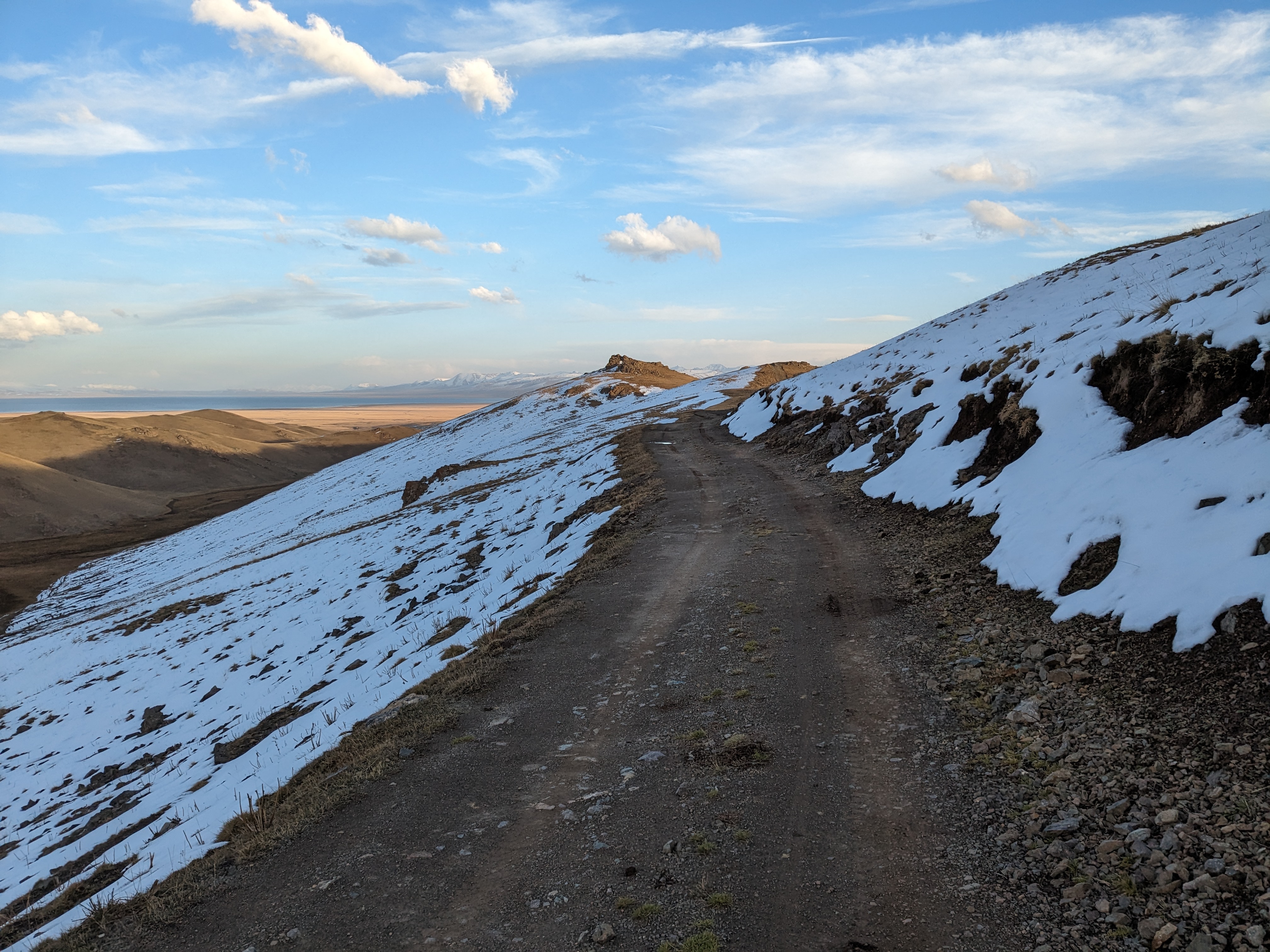
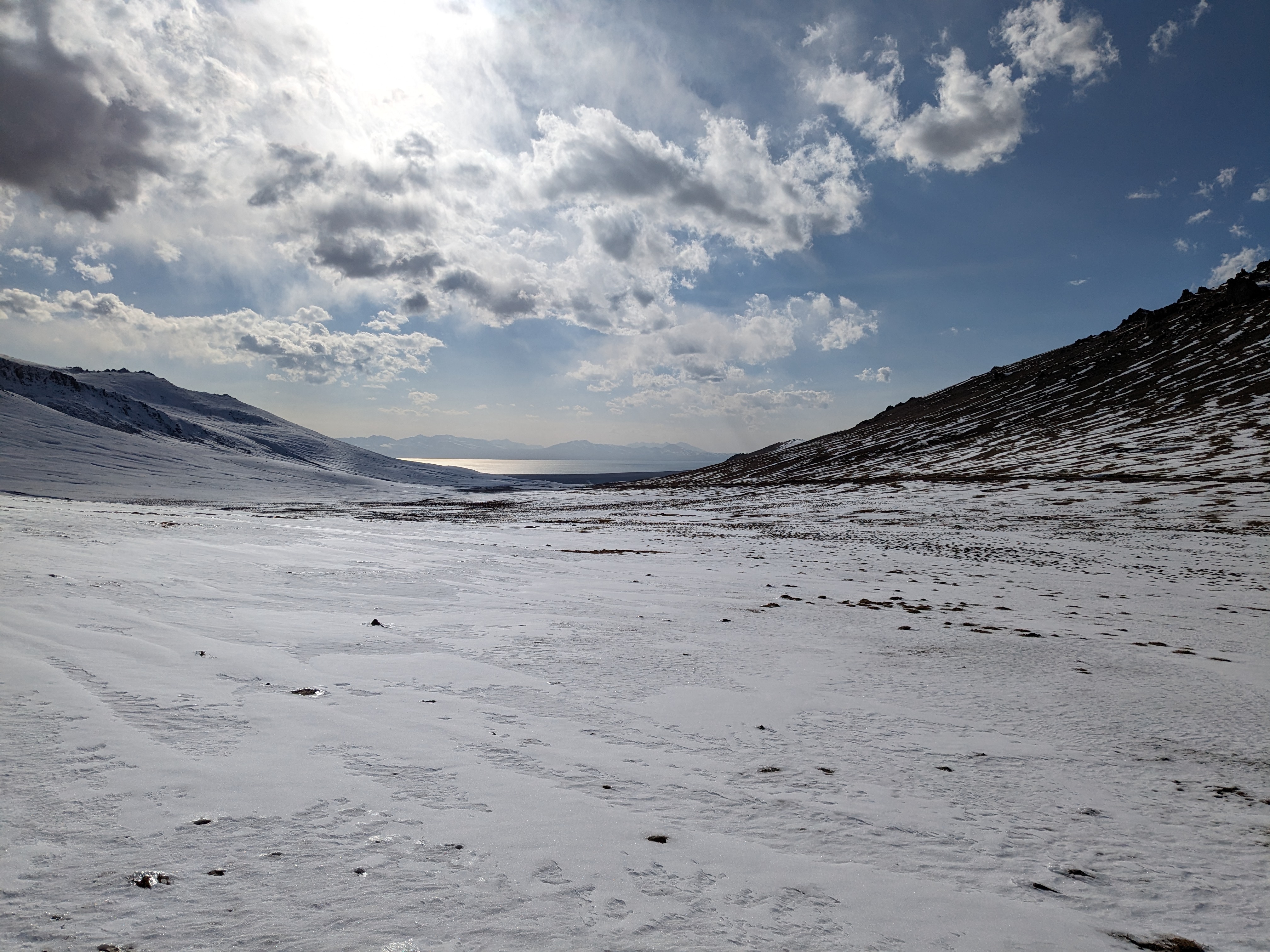
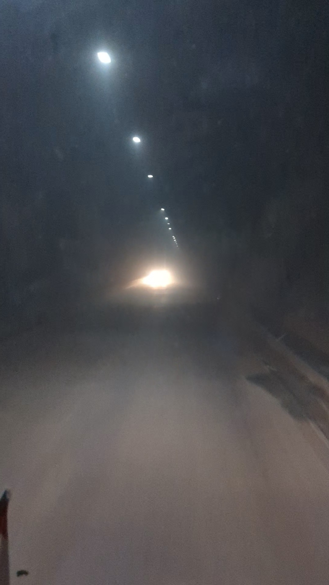
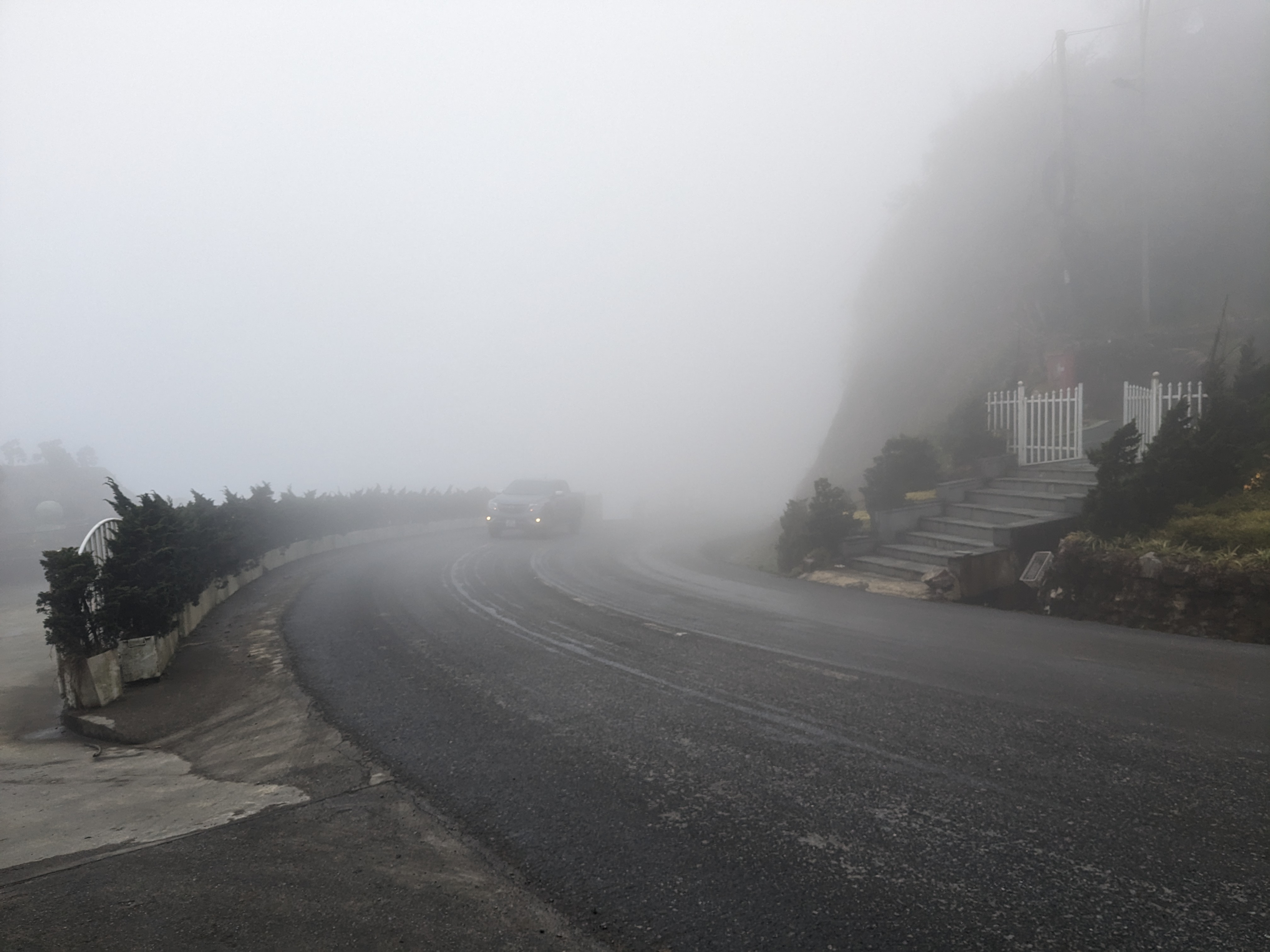
Venturing over the O Qui Ho pass, famed as one of Southeast Asia’s most spectacular roads, I found myself enveloped in clouds, missing out on the promised scenic rewards. I passed through the town of Sa Pa not stopping as I just wanted to get out of the fog. The town has a cable car which takes you up to the highest peak in South East Asia something I’d considered doing however, dismissed the idea, reluctant to pay for a trip through the mist. The descent on the other side of the pass was a nerve-wracking ordeal. I had to remove my glasses as they would get covered in water droplets through the cloud and with the thick fog I had very little vision.

Emerging from the clouds was quite a relief, a perfectly paved toll road (which I dodged the barriers of) offered chance to enjoy the downhill stretch. Lao Cai greeted me and after a lunch stop, I searched for some much needed new brake pads. I managed to find a proper bike shop, not just somewhere selling kids bikes for the first time since Chiang Mai and secured two pairs remarkably costing less than £2.

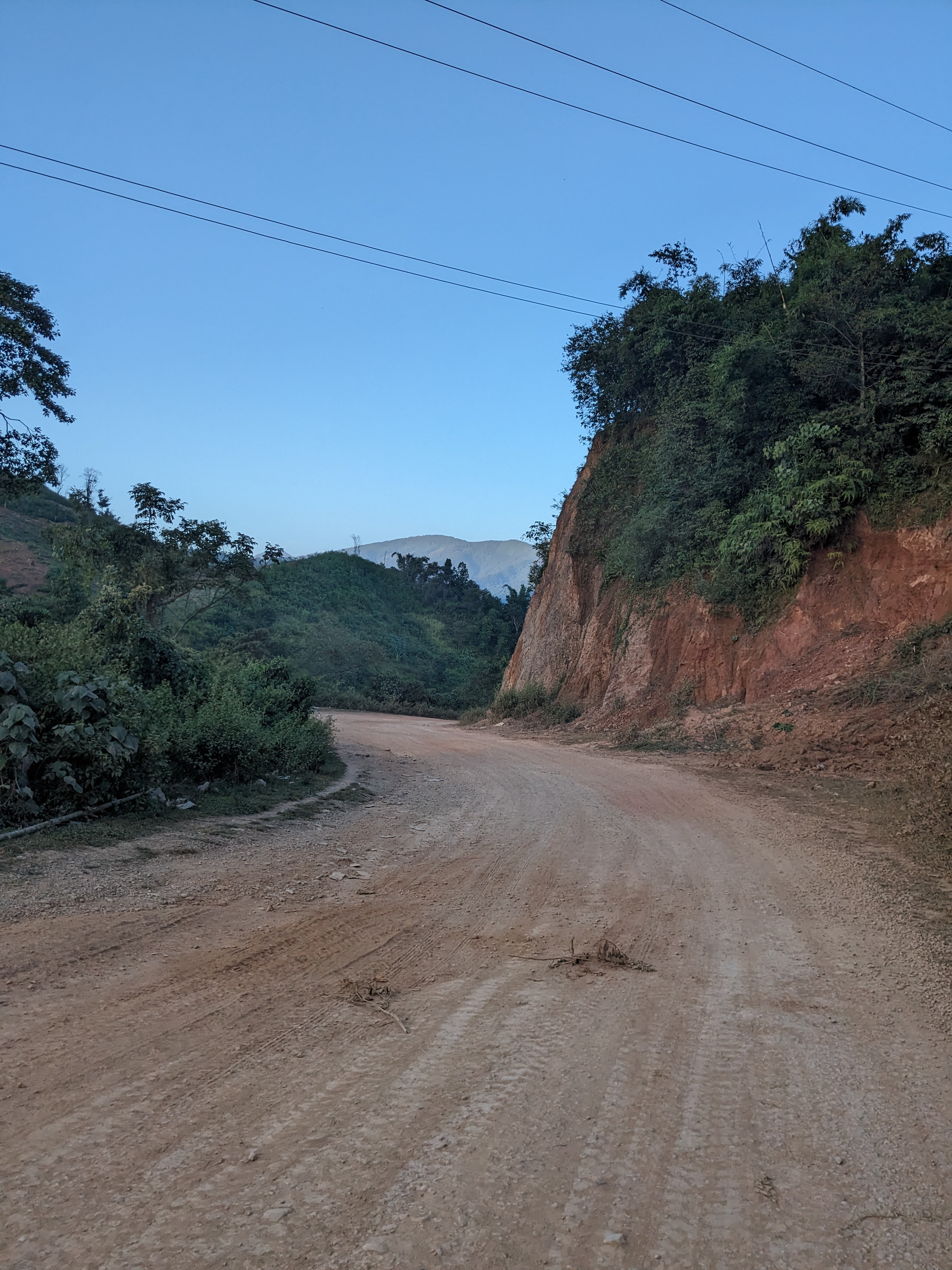
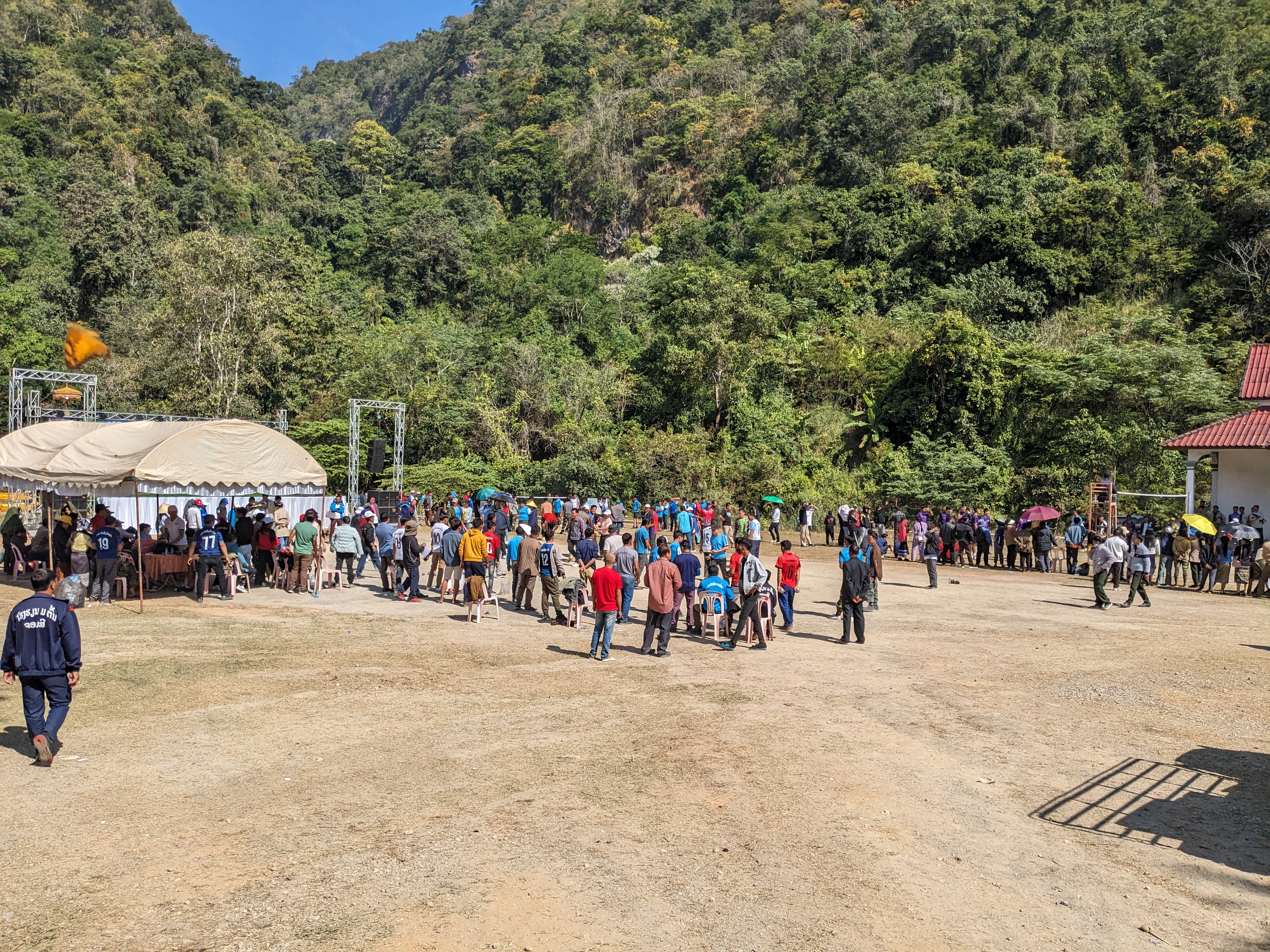
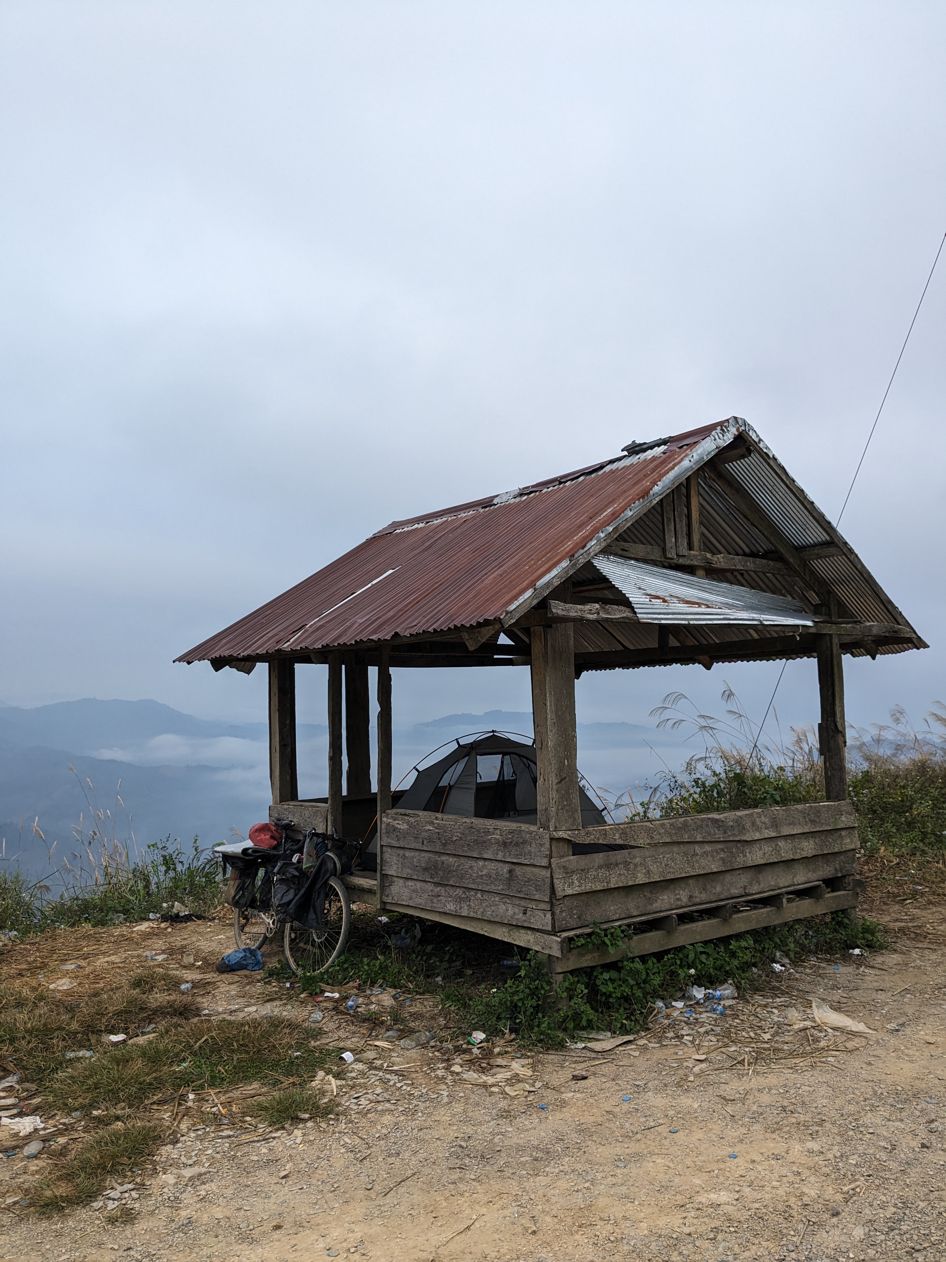
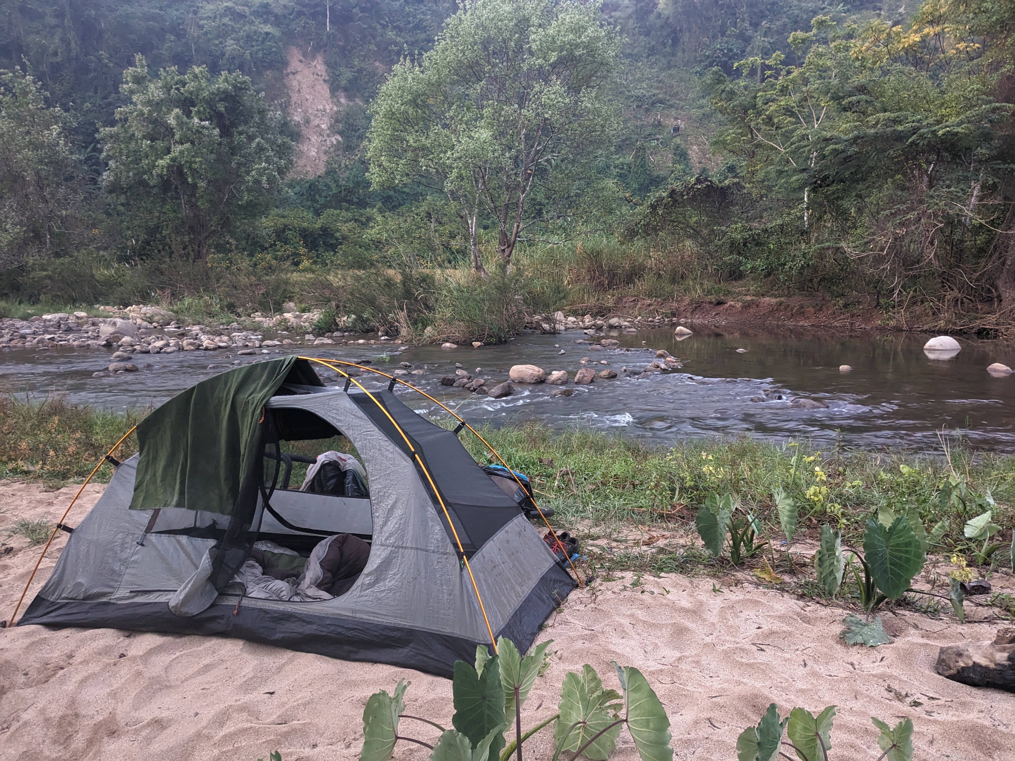
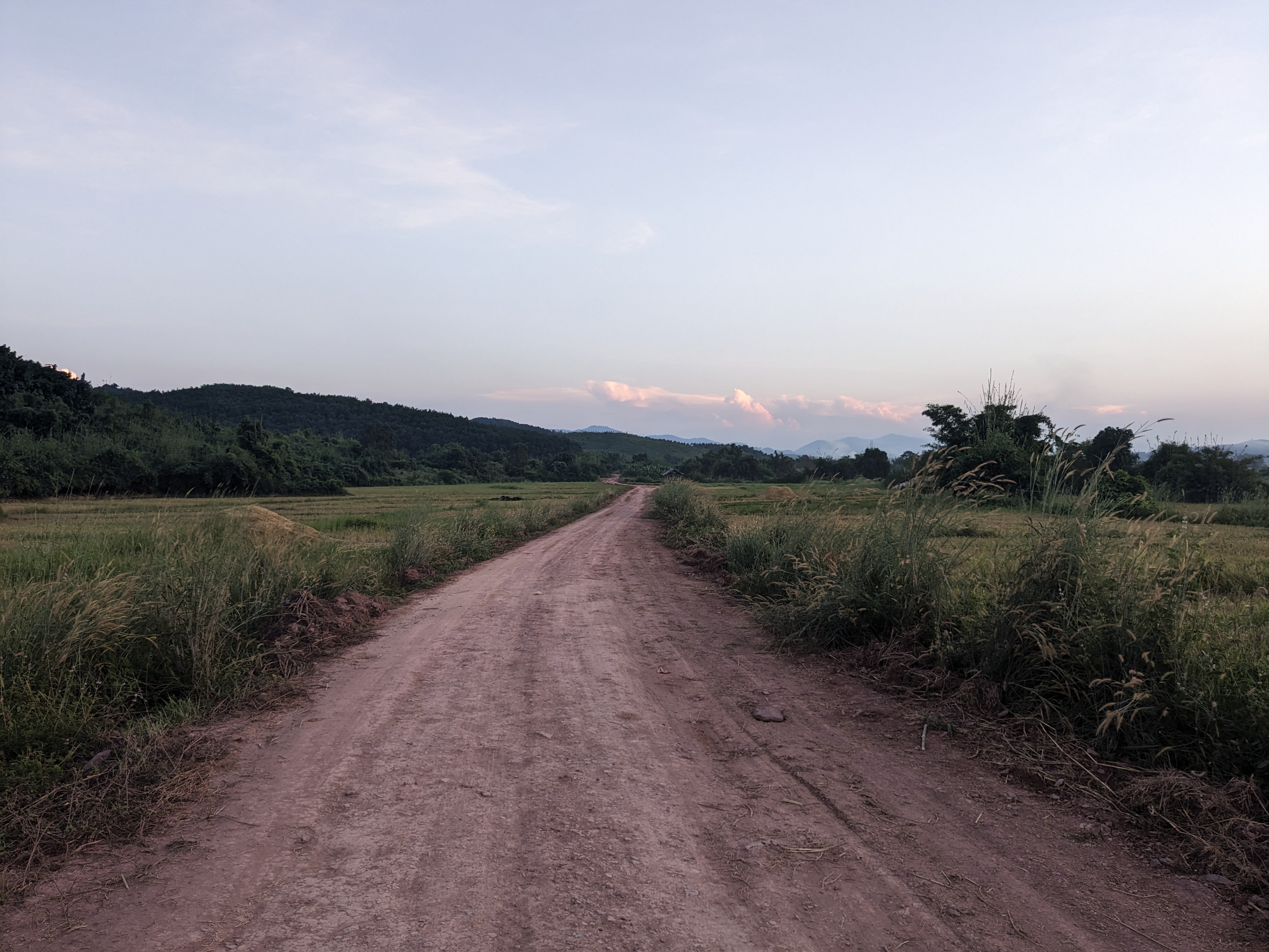
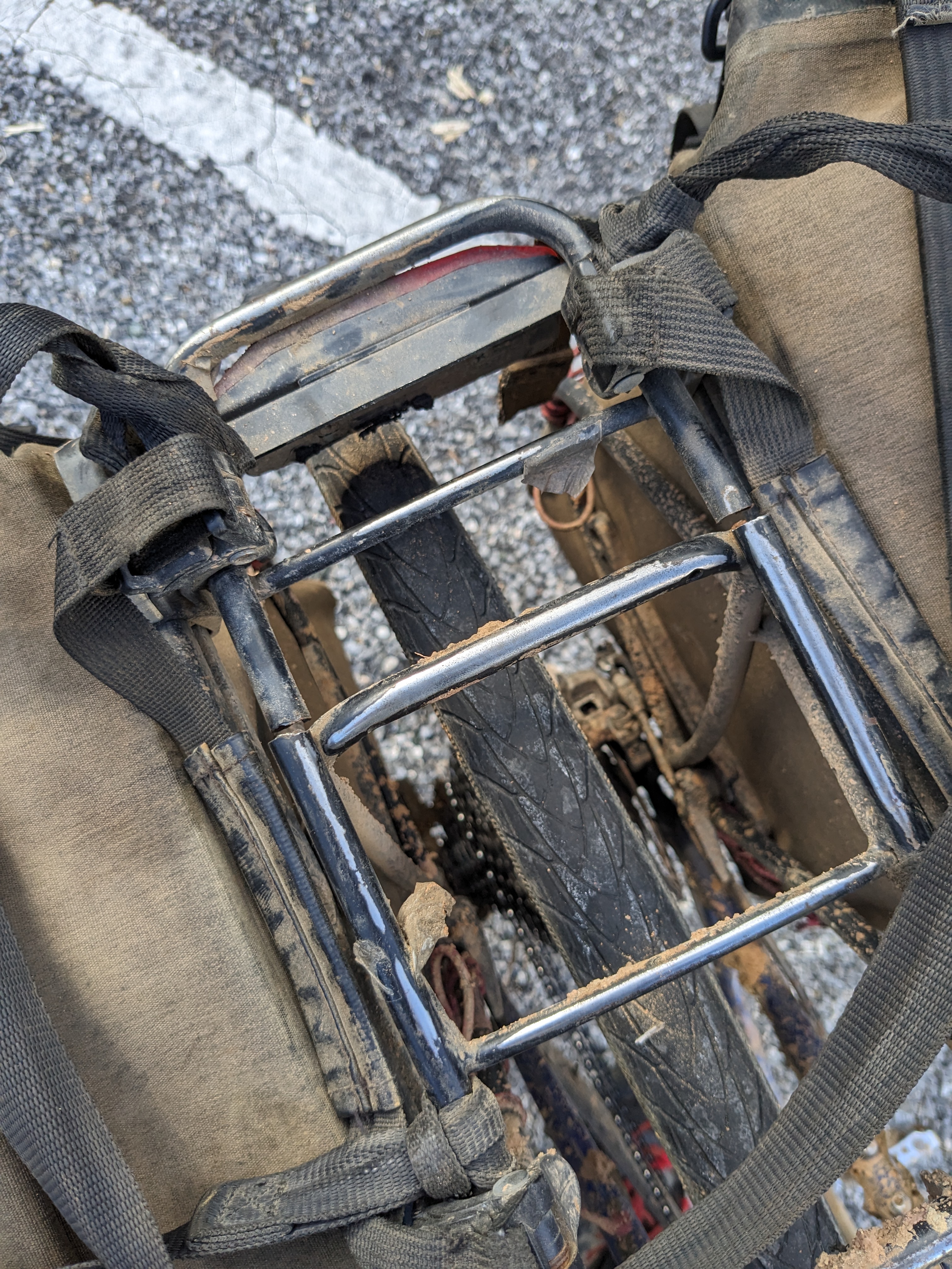
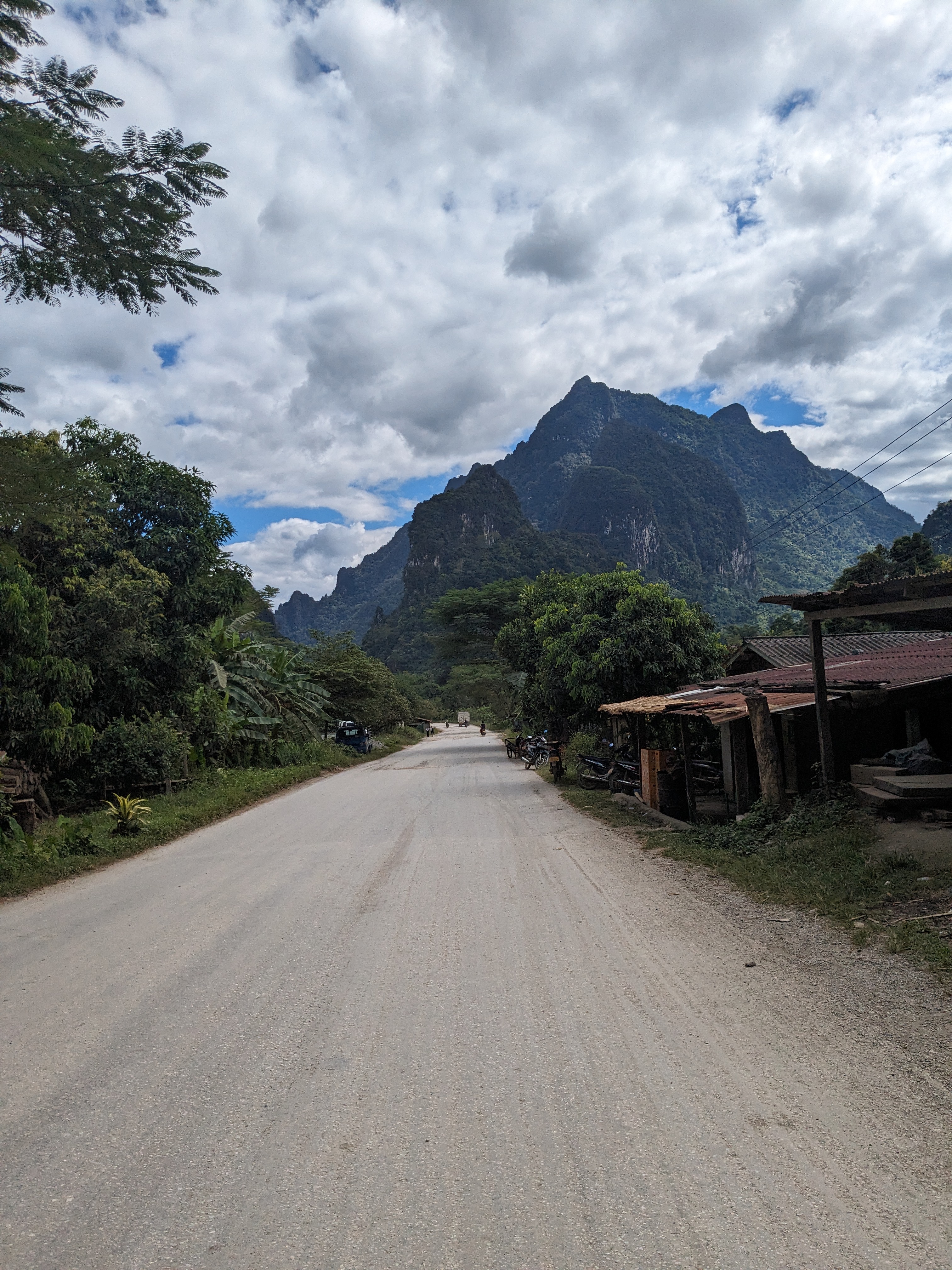
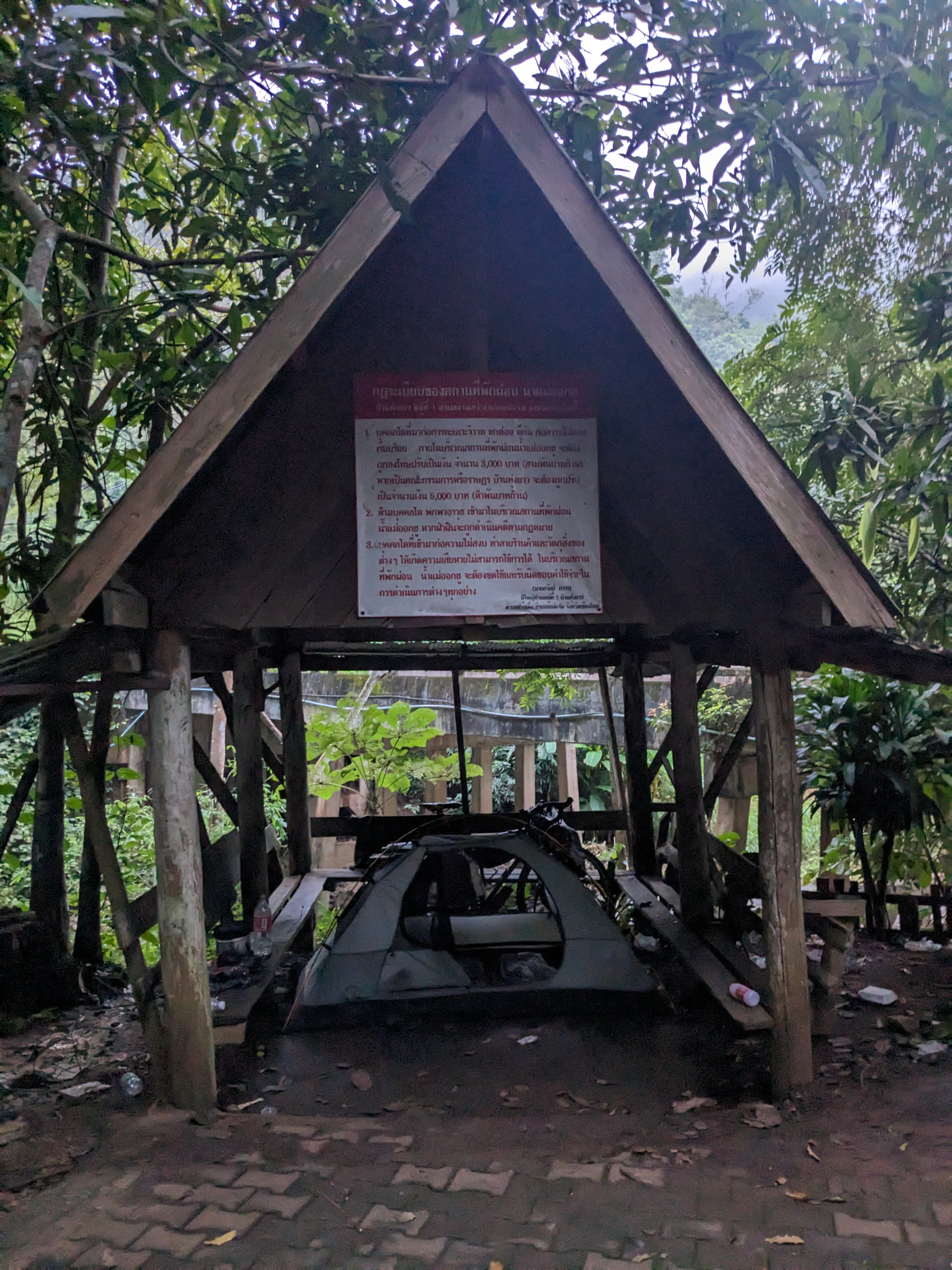
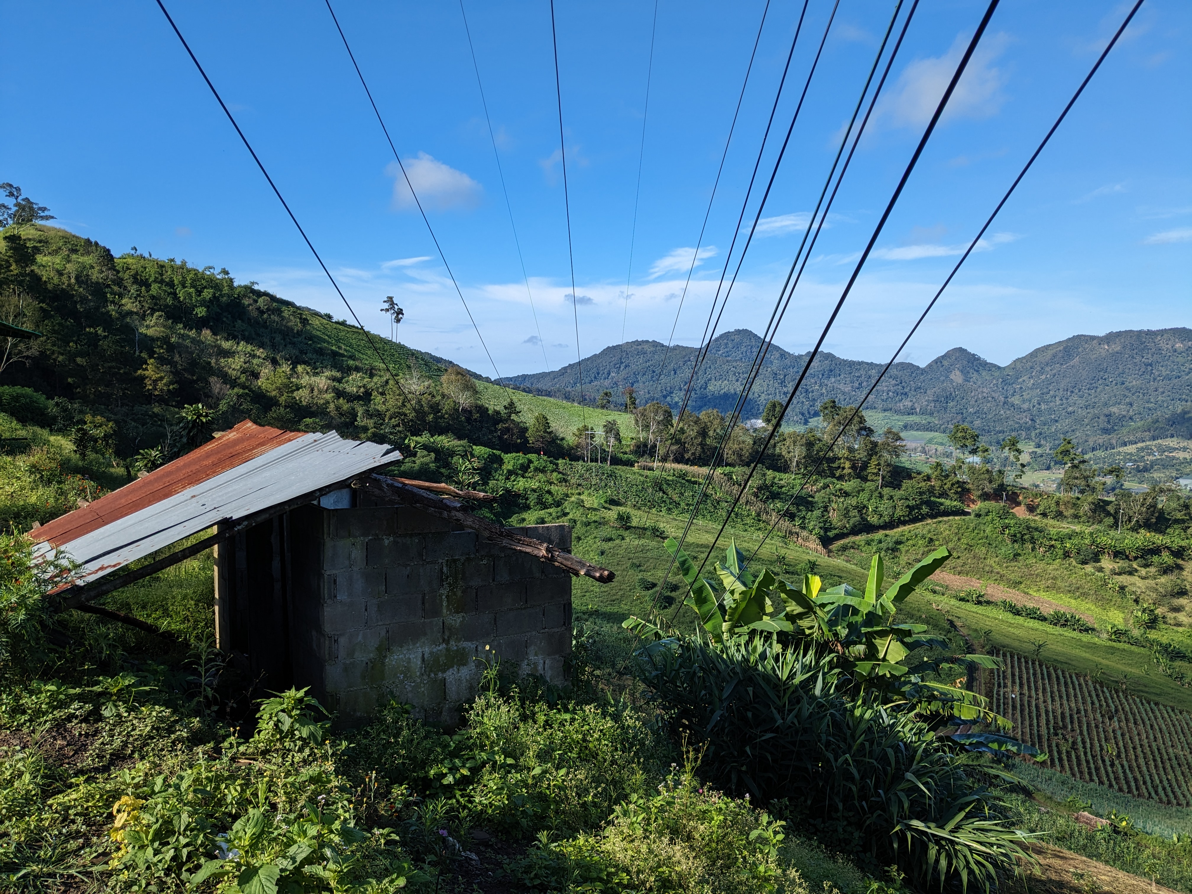
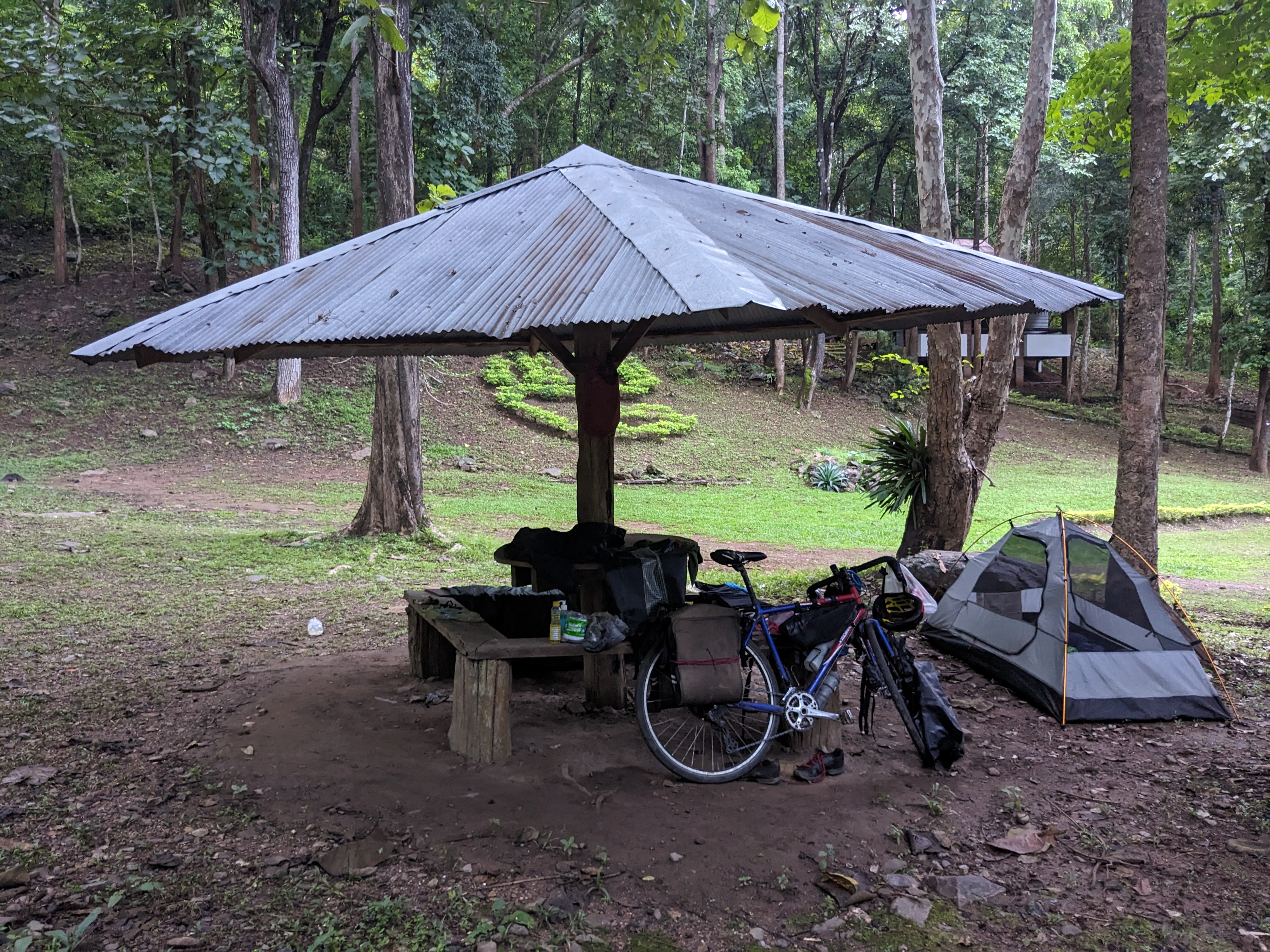
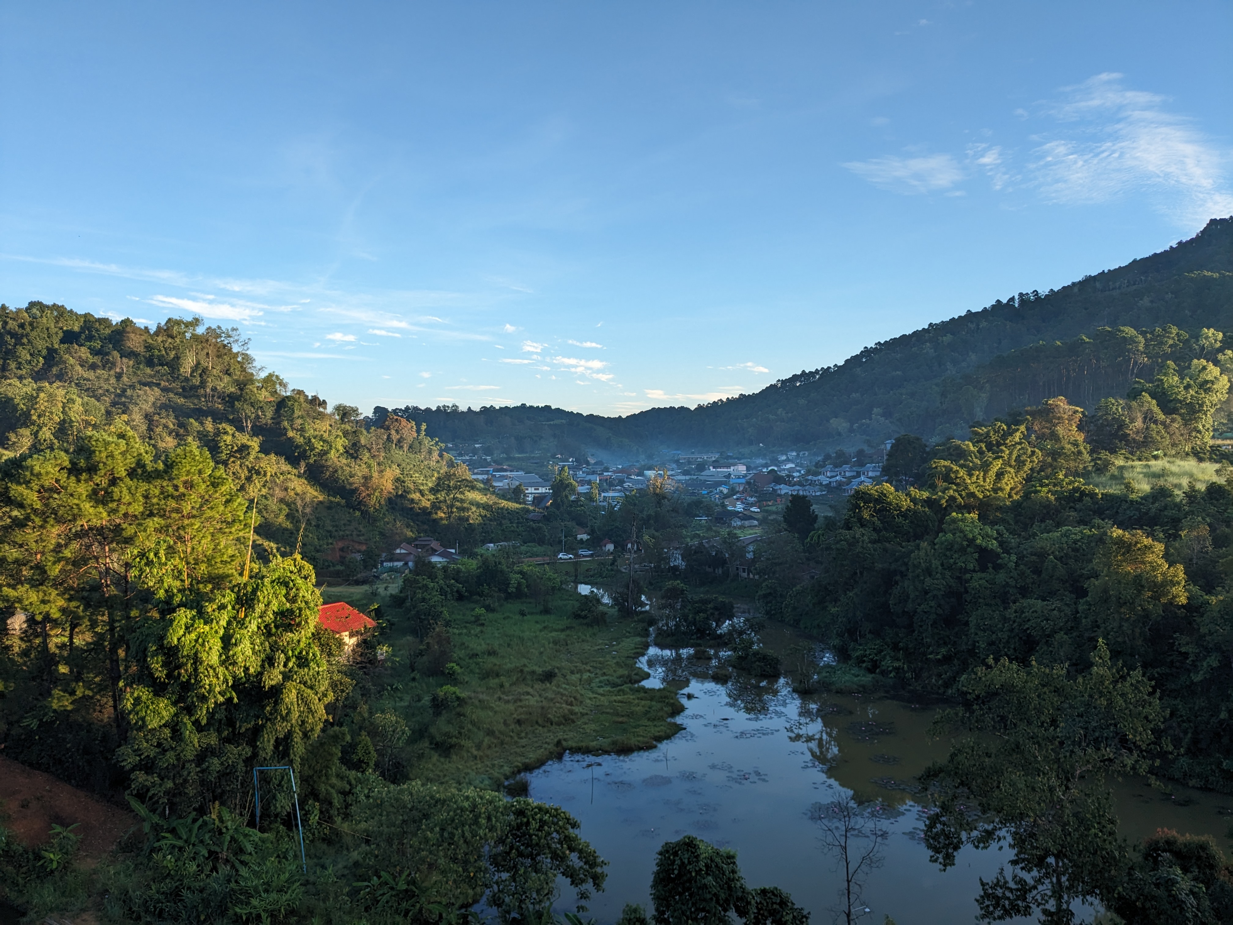
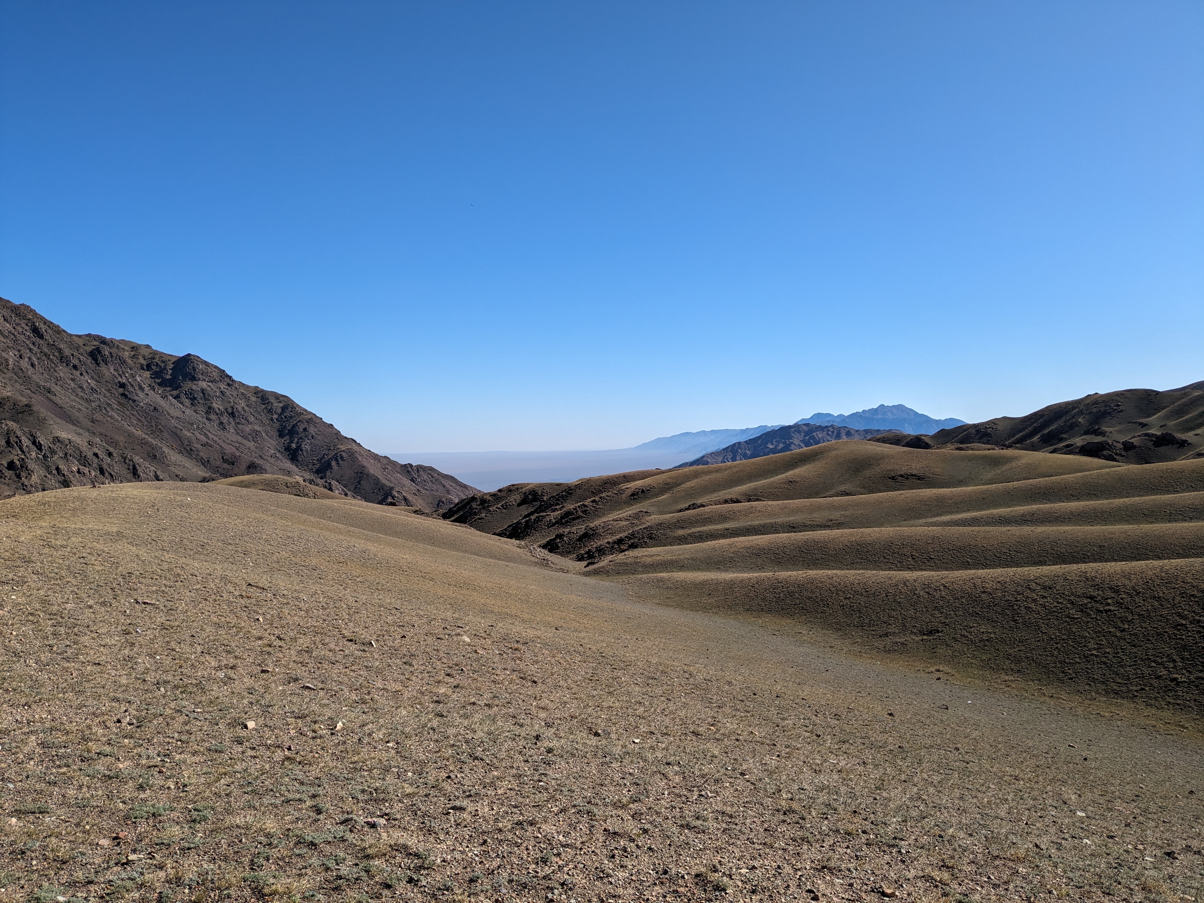
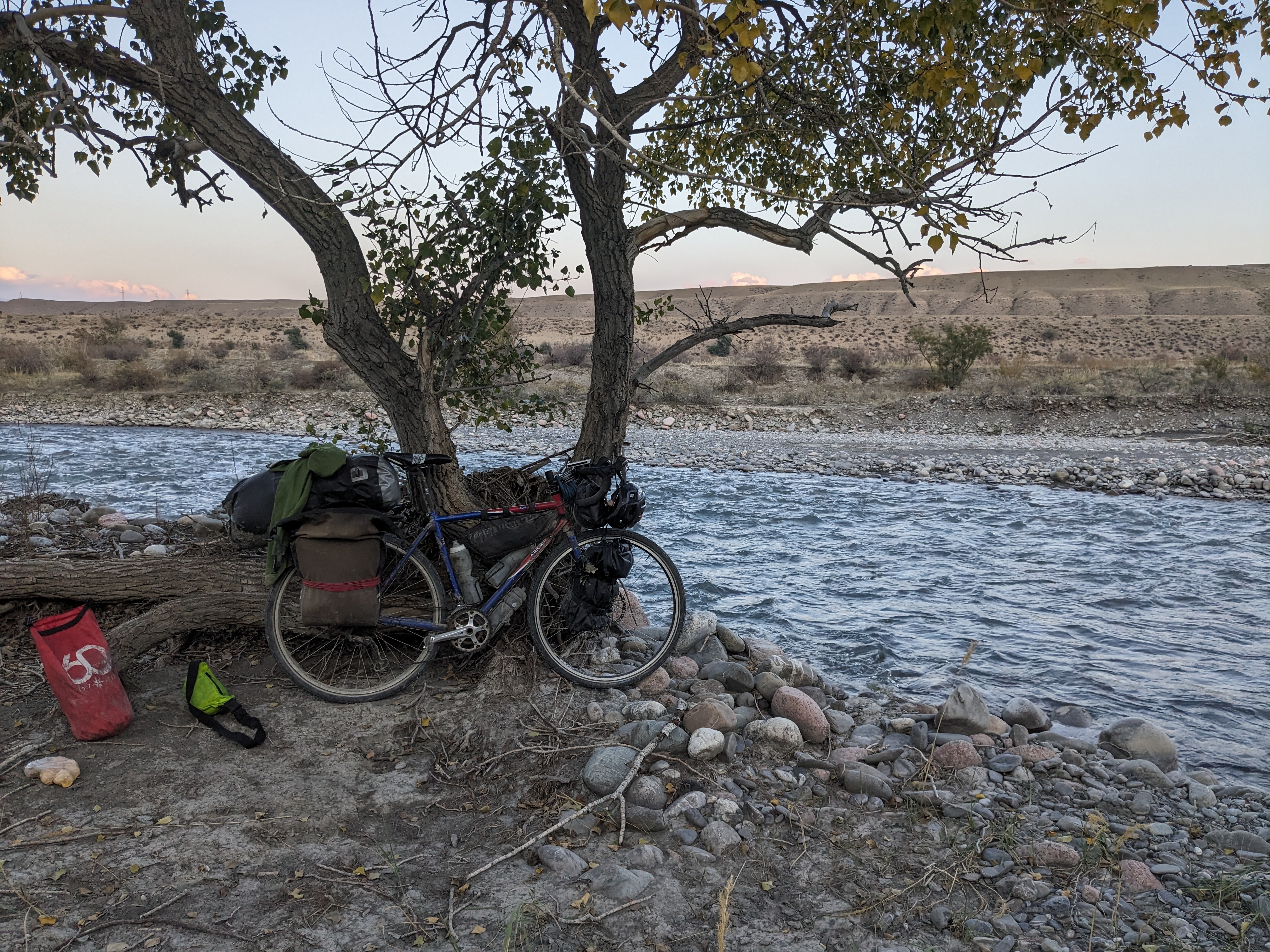
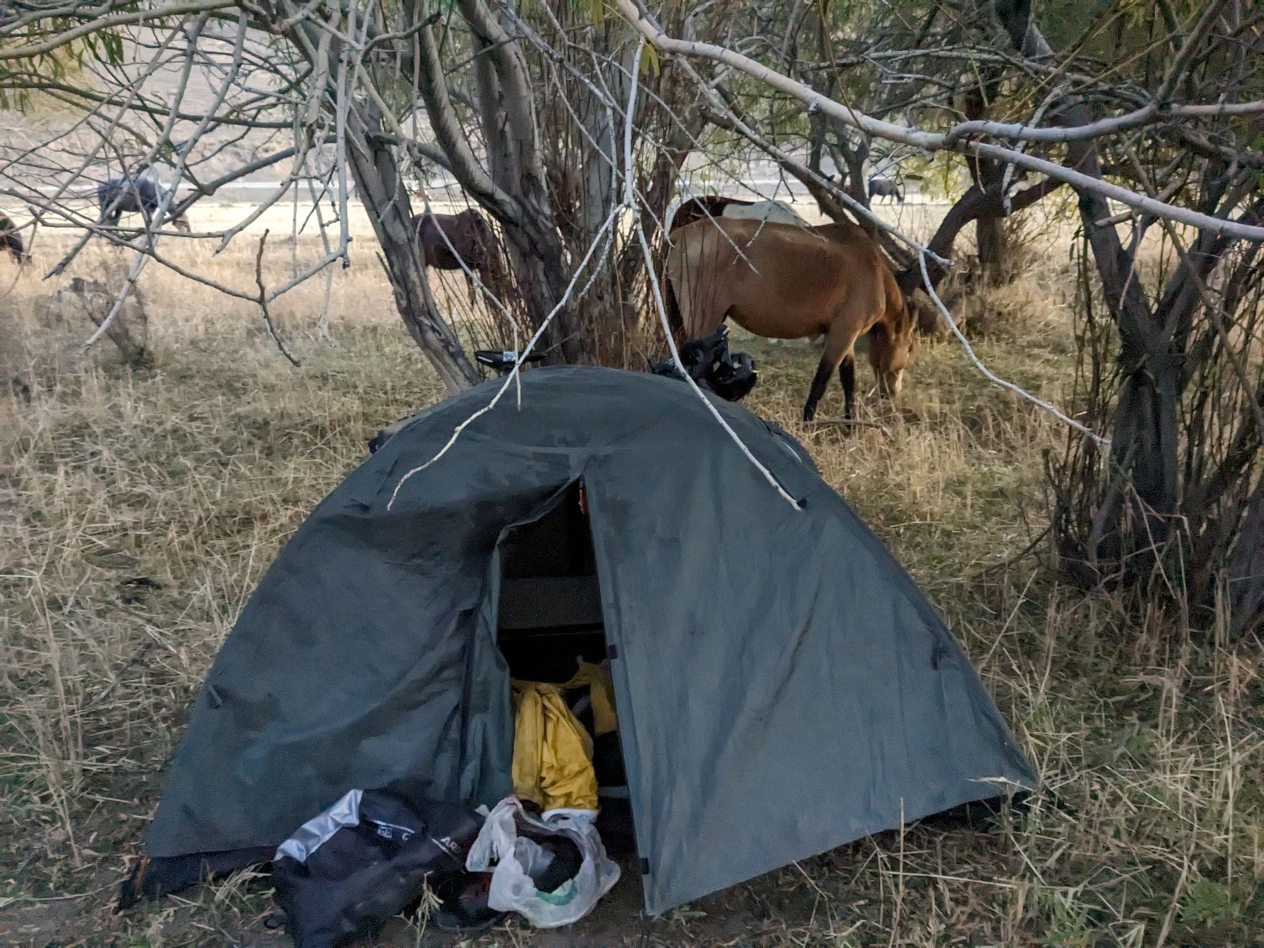
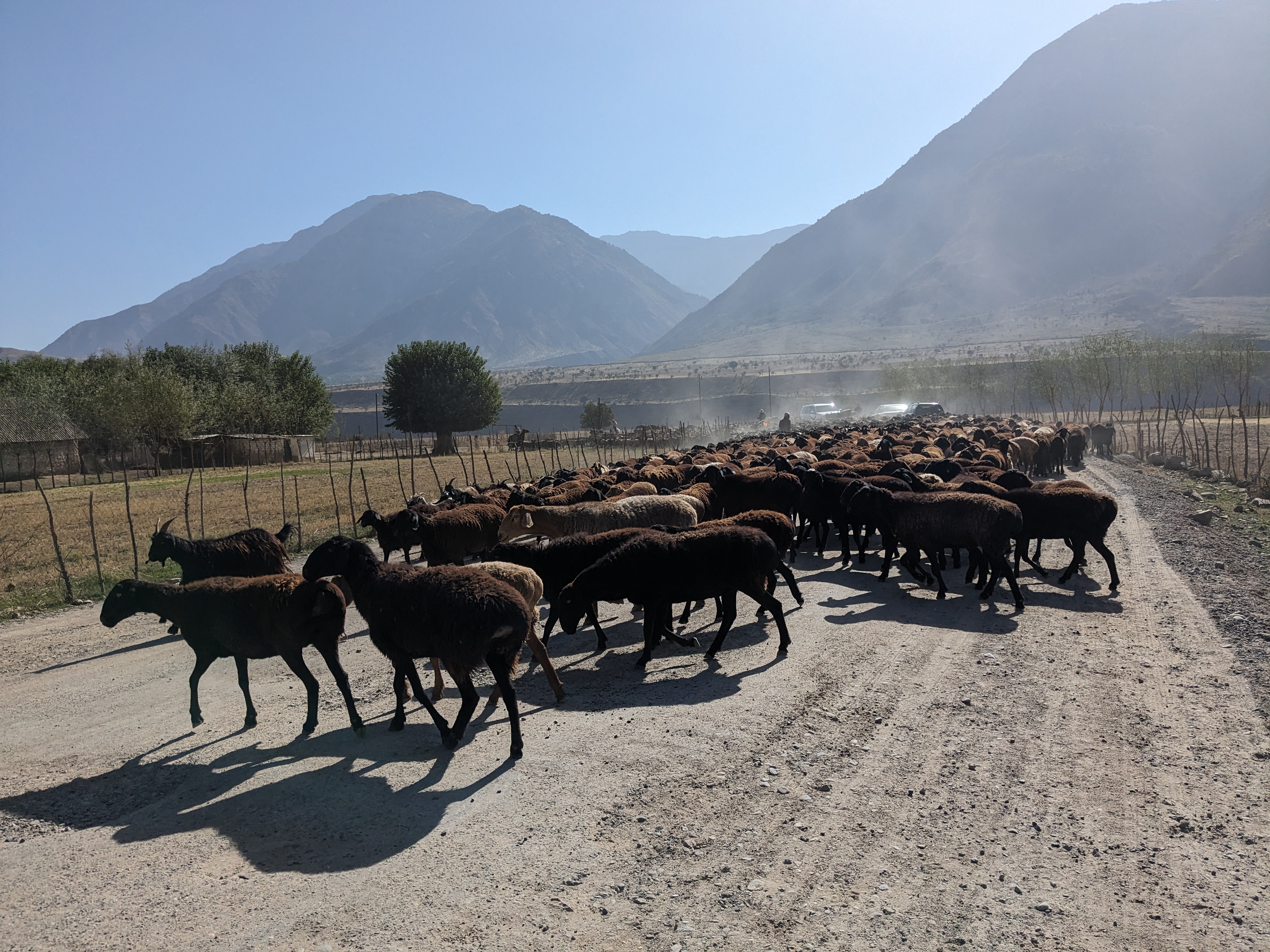
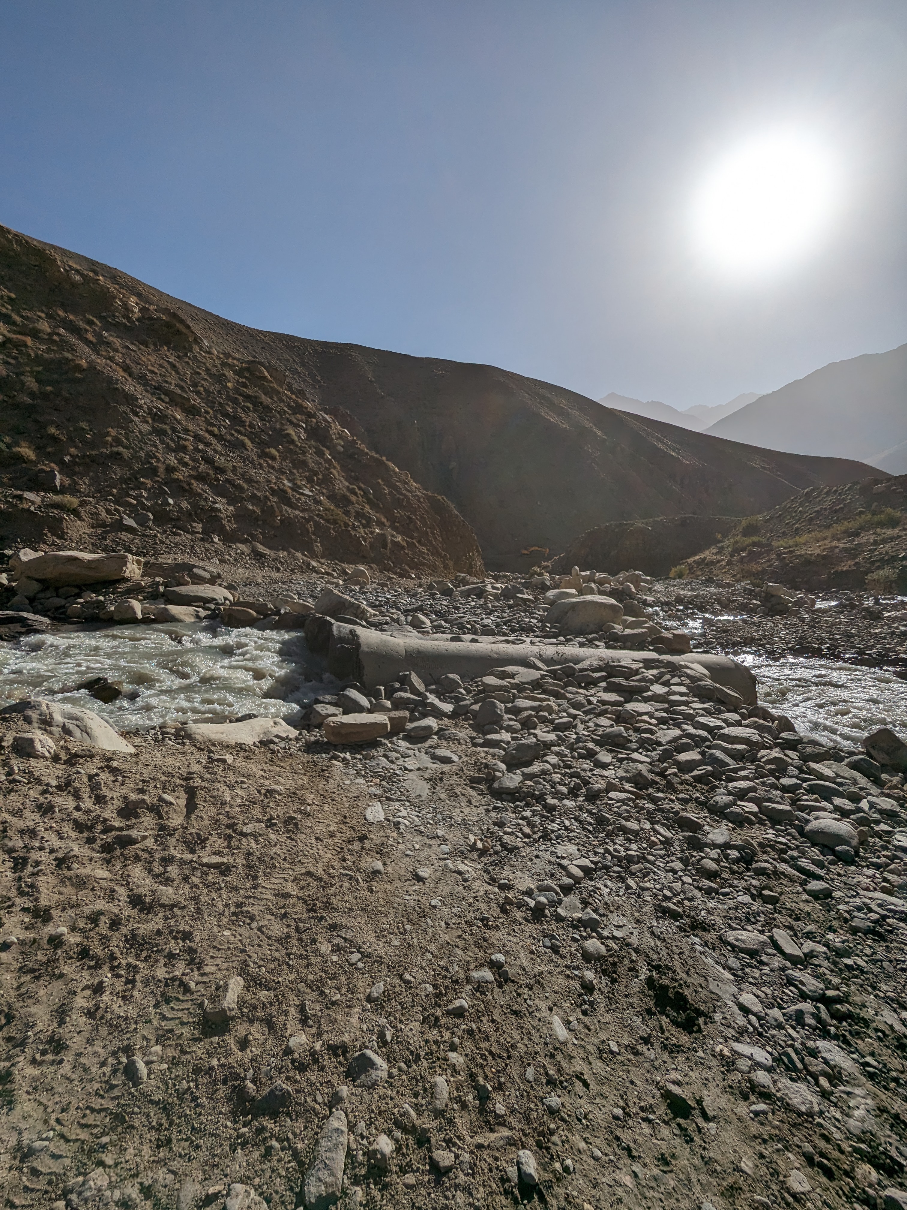
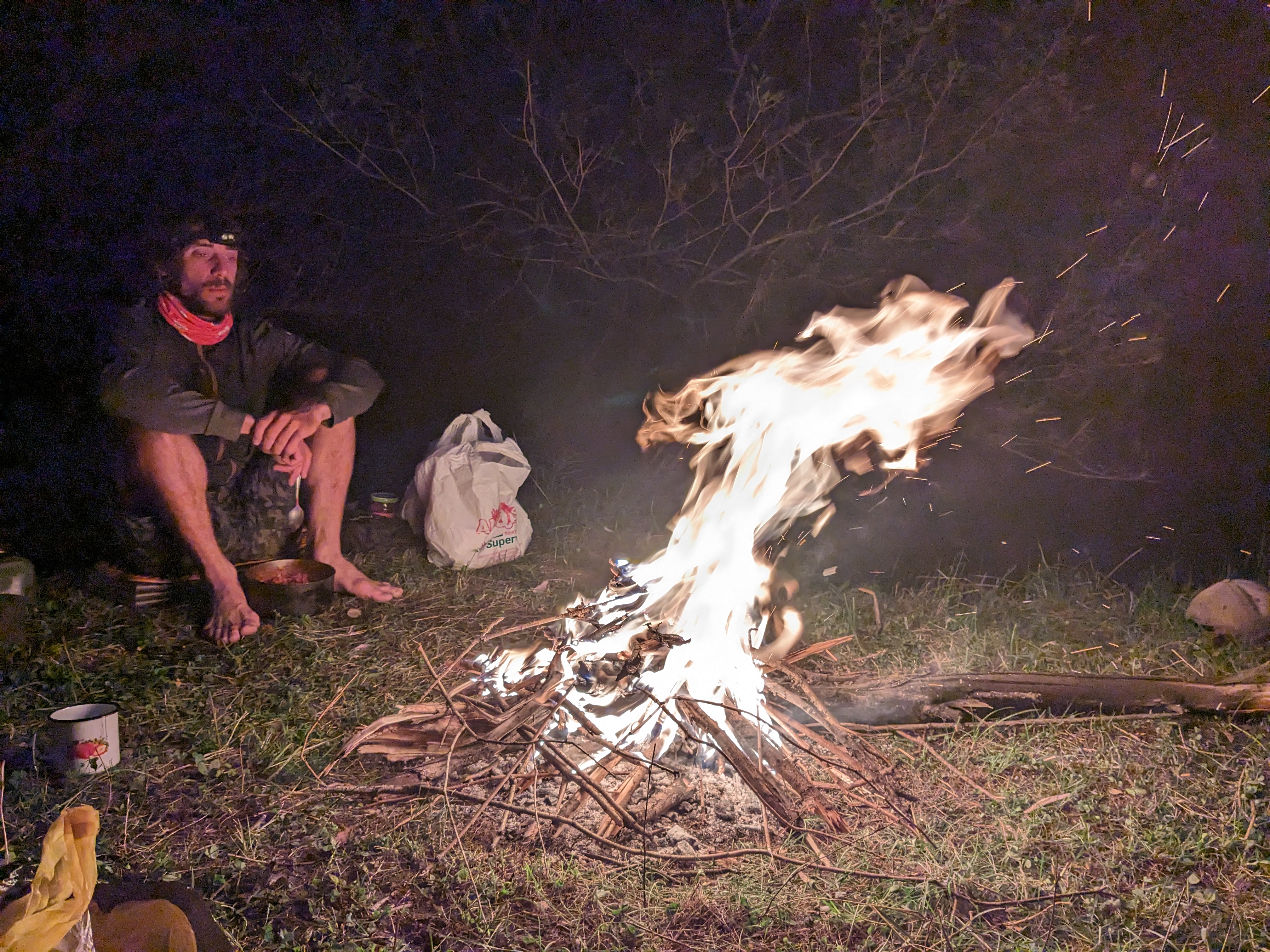
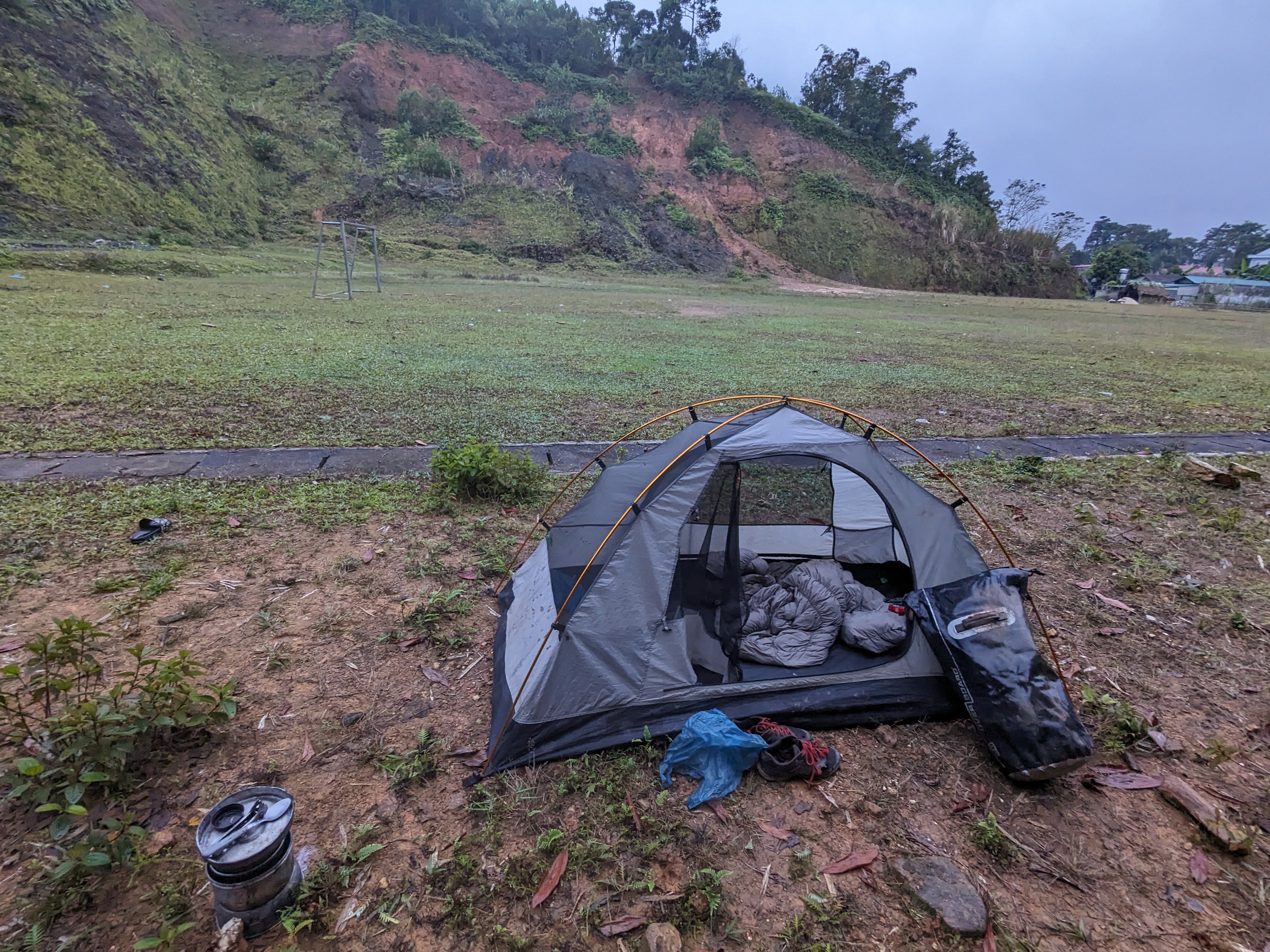
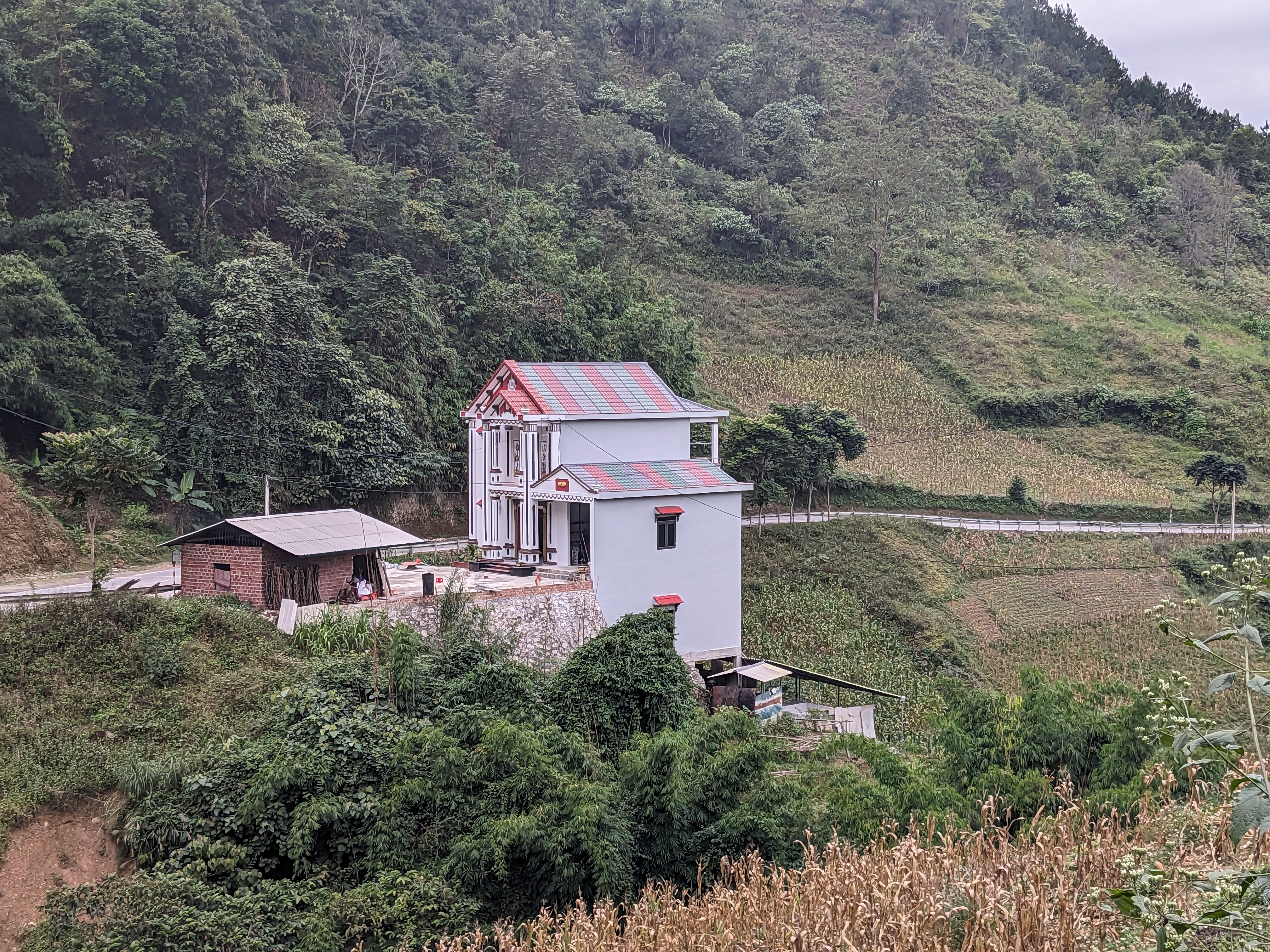
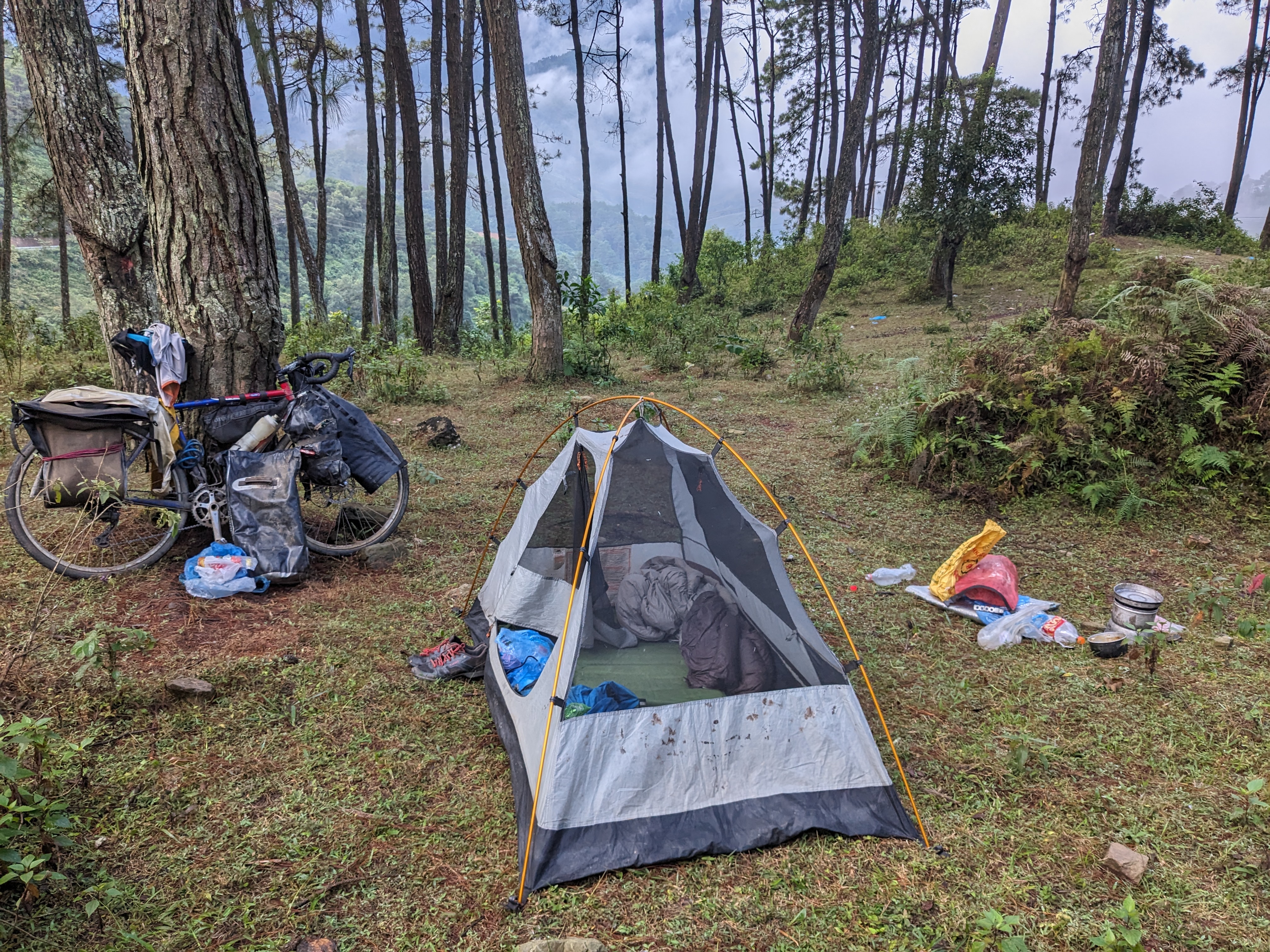
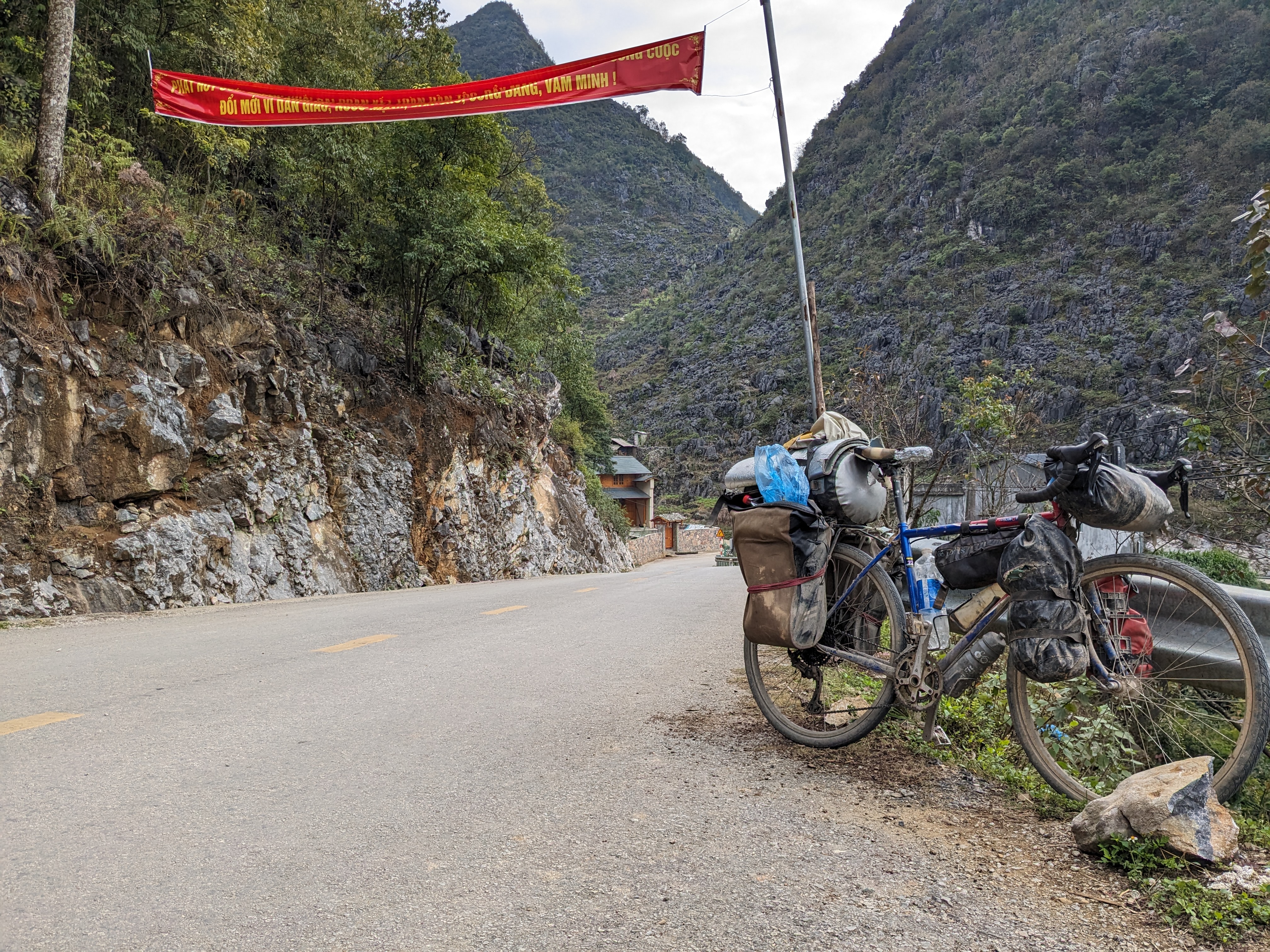
The next couple days we’re spent cycling through farmland and small towns towards Ha Giang. This made finding somewhere to sleep quite a challenge, and each time I asked if I could camp on farmland I was refused. I think this may have been due to me communicating poorly as camping isn’t common in Vietnam. Each night I’d eventually find a spot, often in cutouts in the rock from which the roads had been built or one time on a football pitch. Furthermore, now I’m into December the days are noticeably shorter with it becoming dark at 17:30 reducing the amount of time I have to find somewhere.

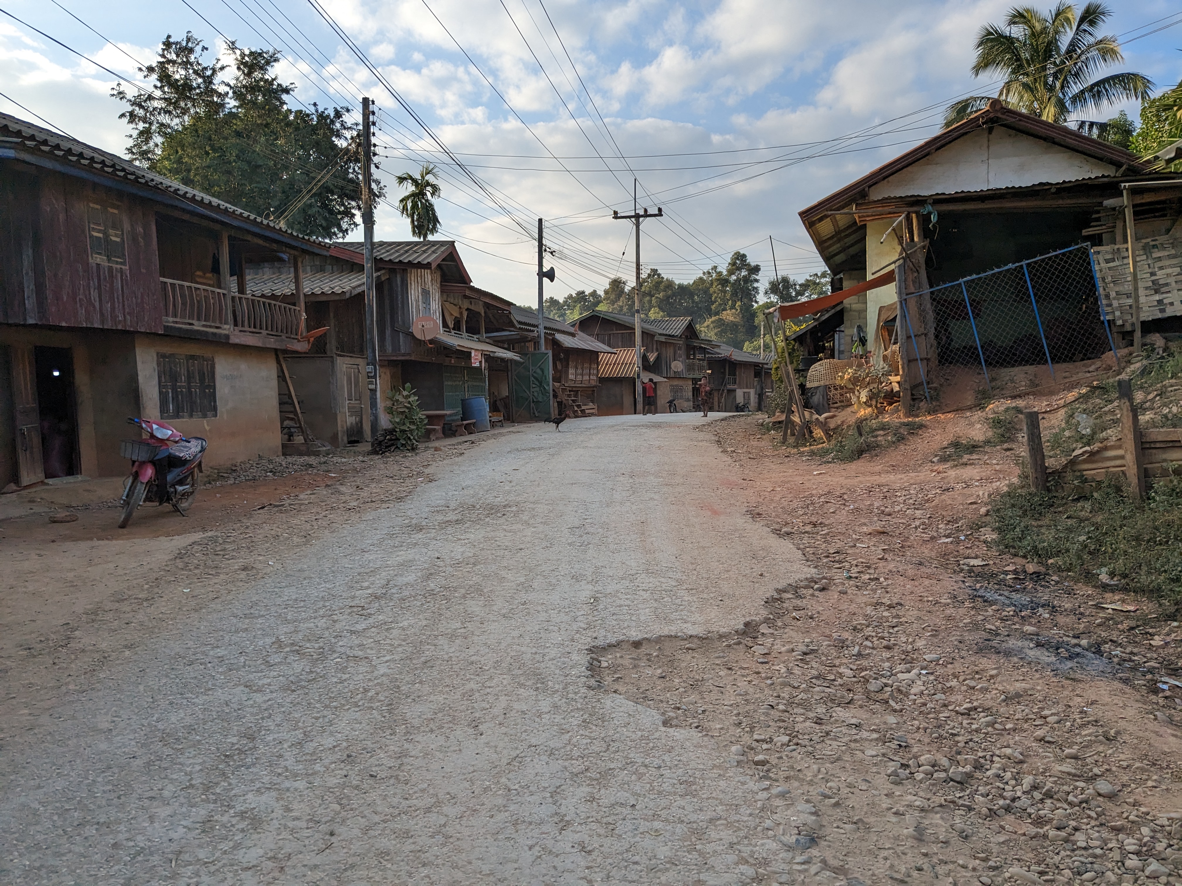
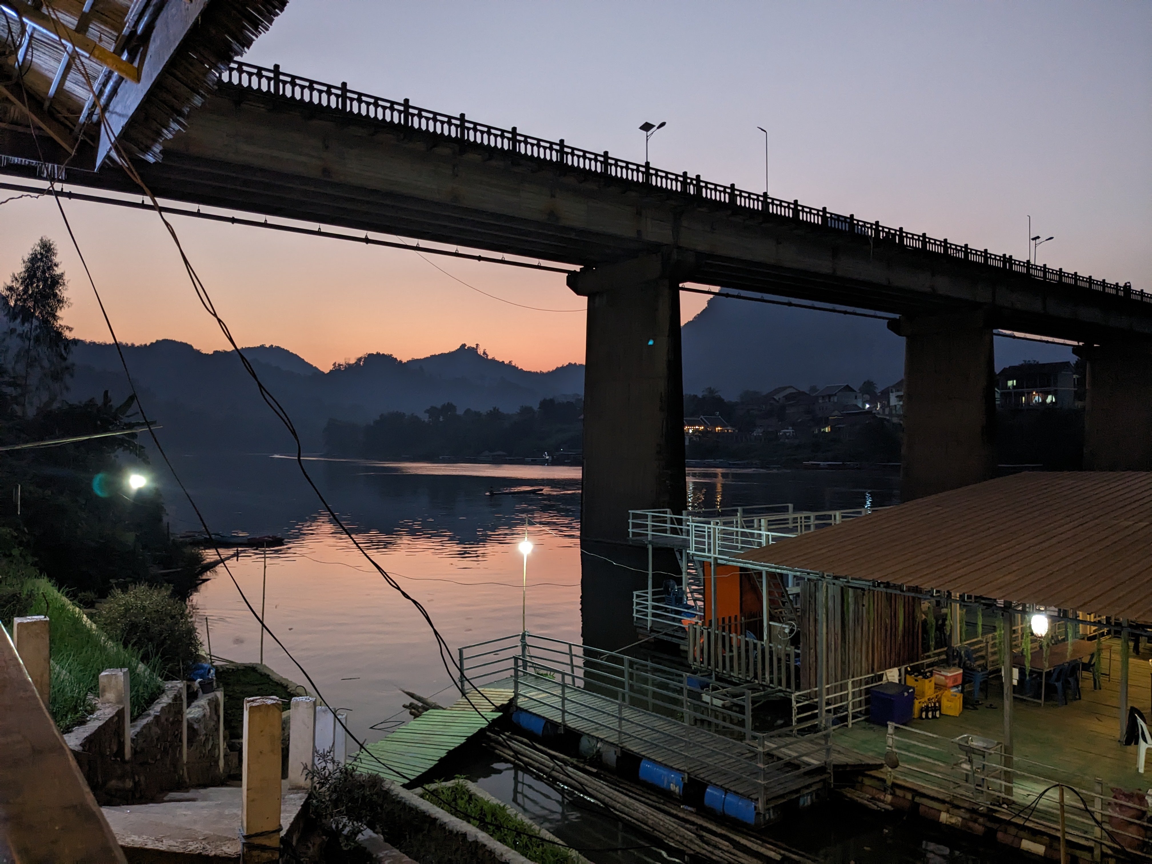
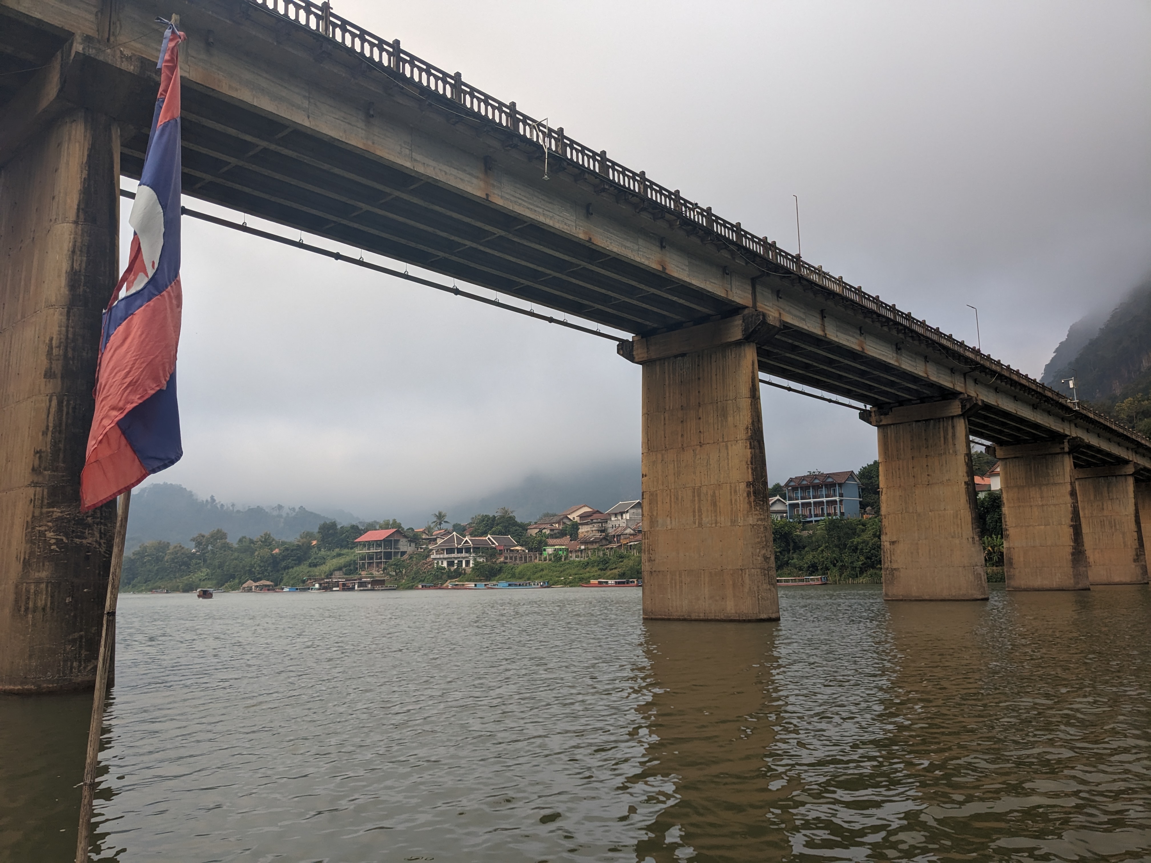
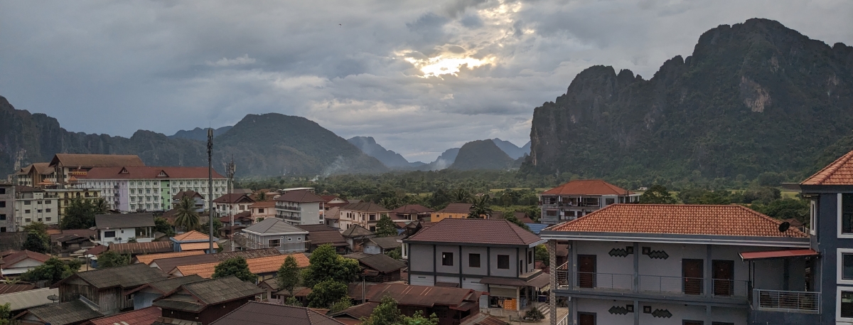
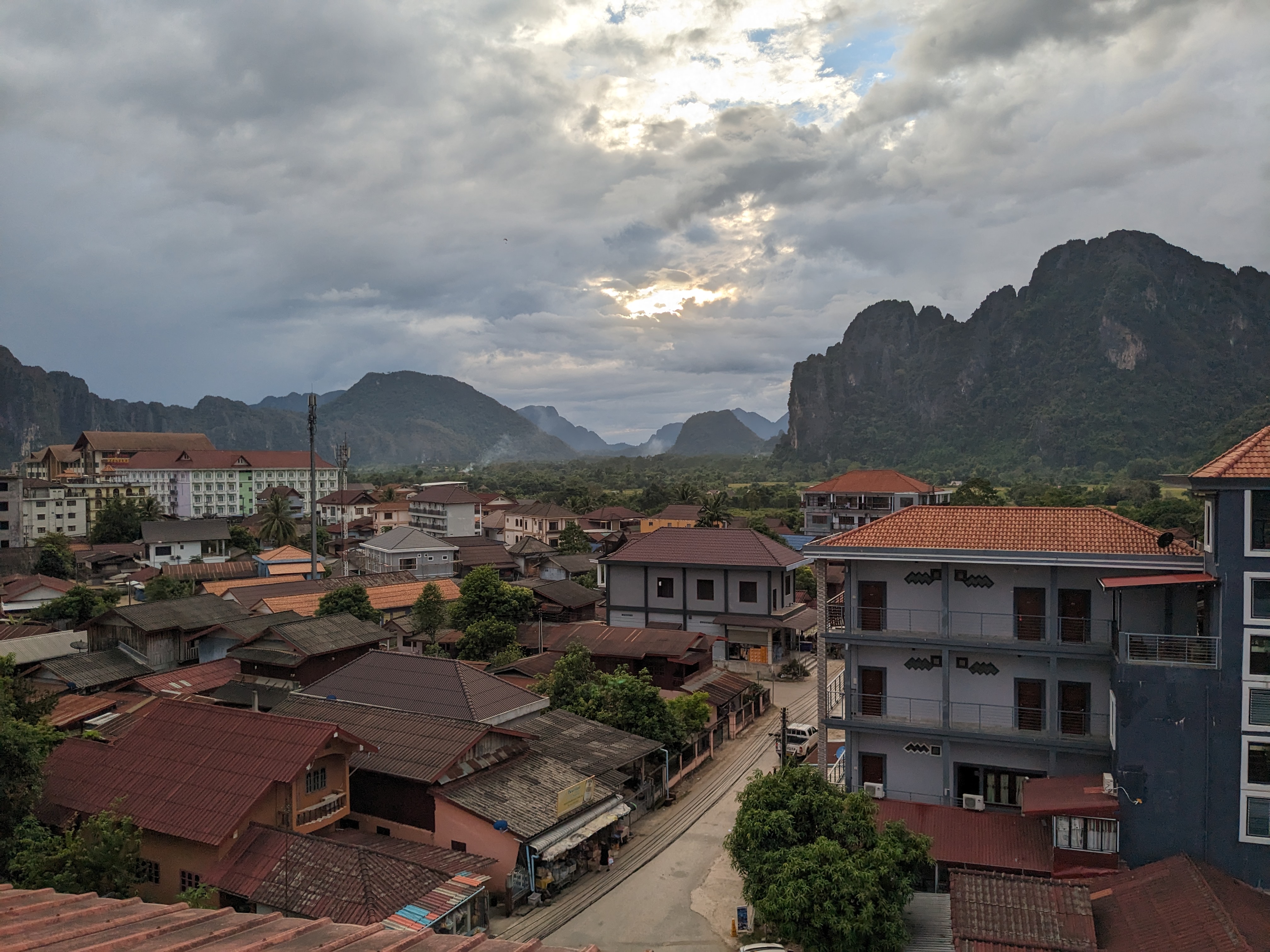
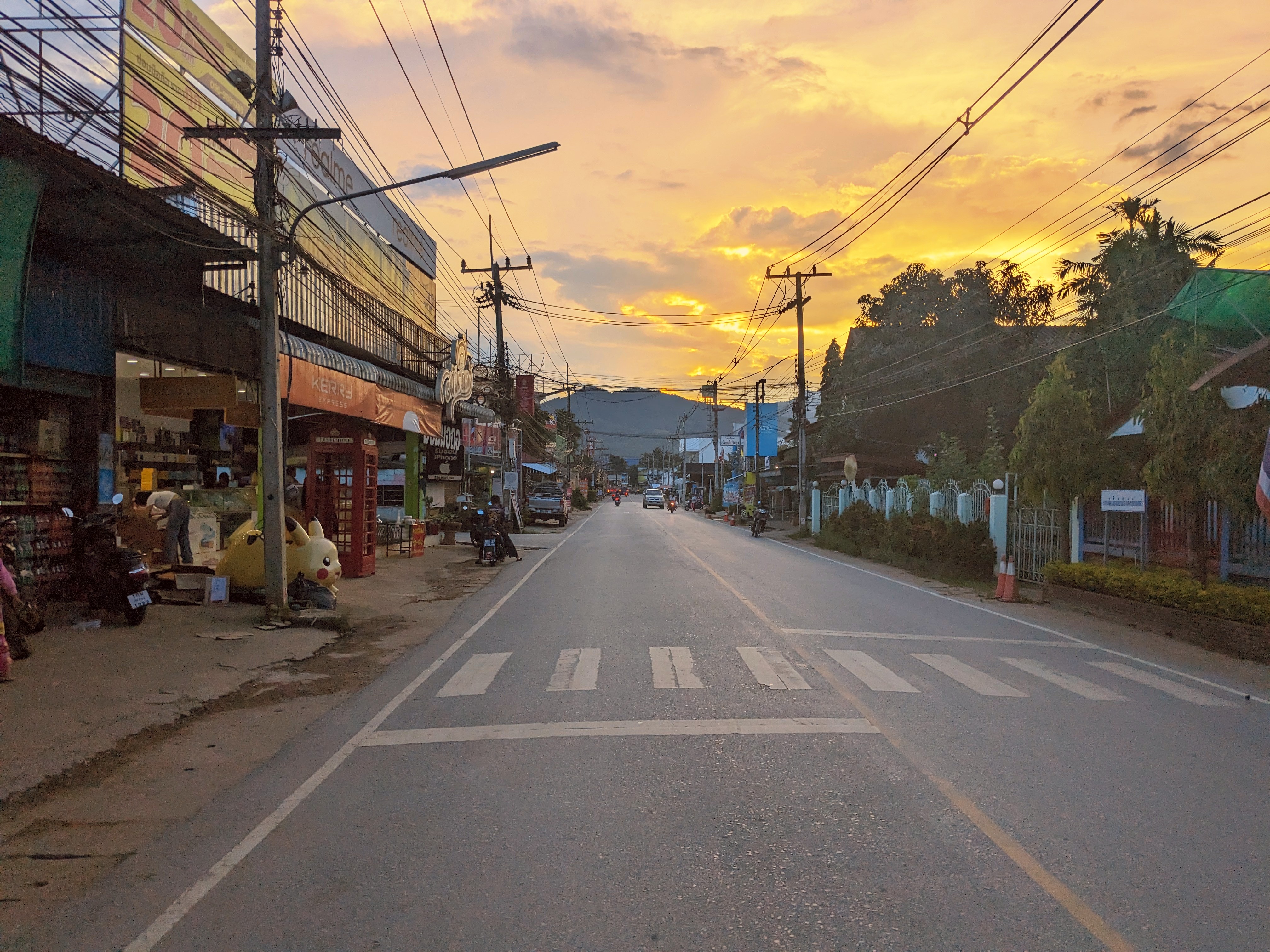
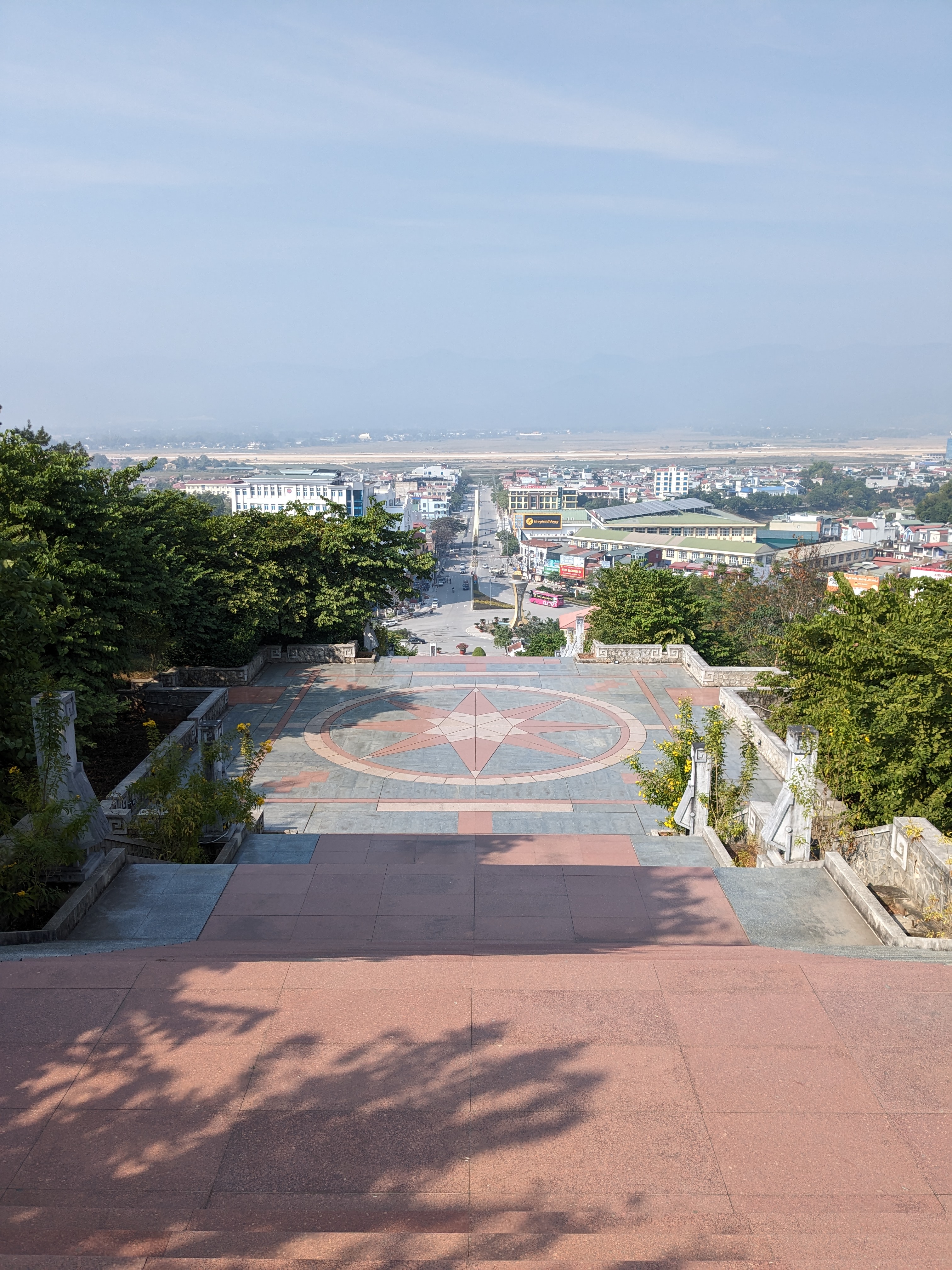
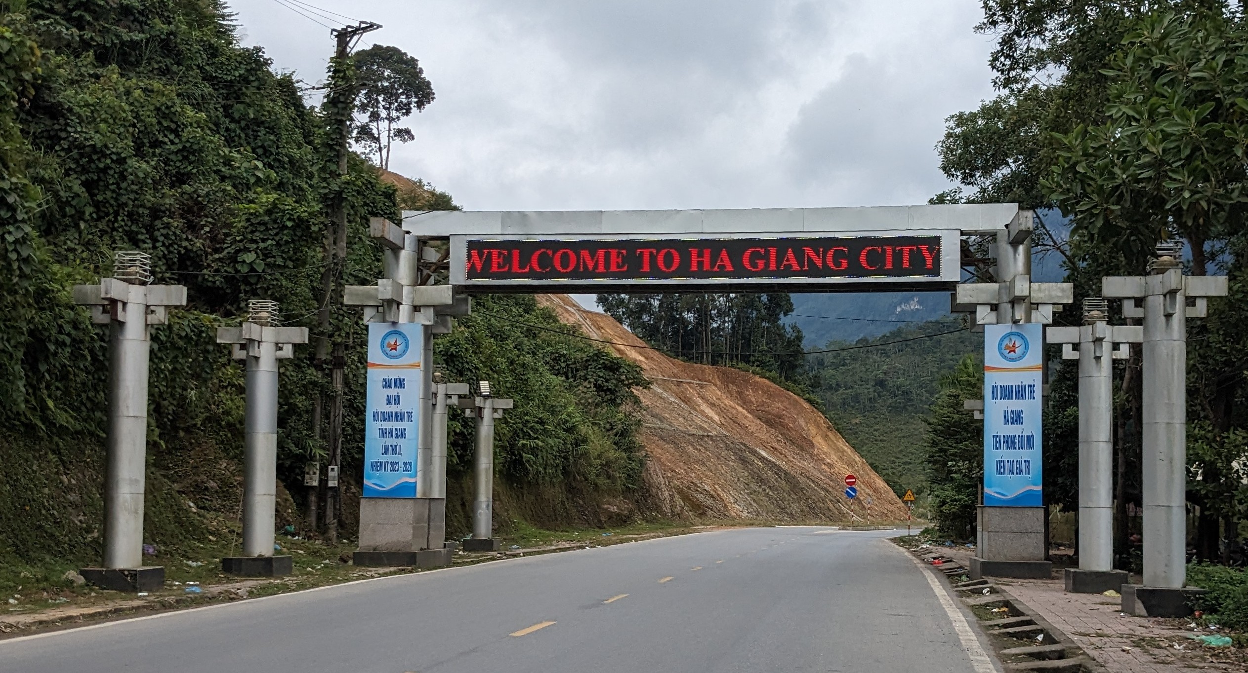
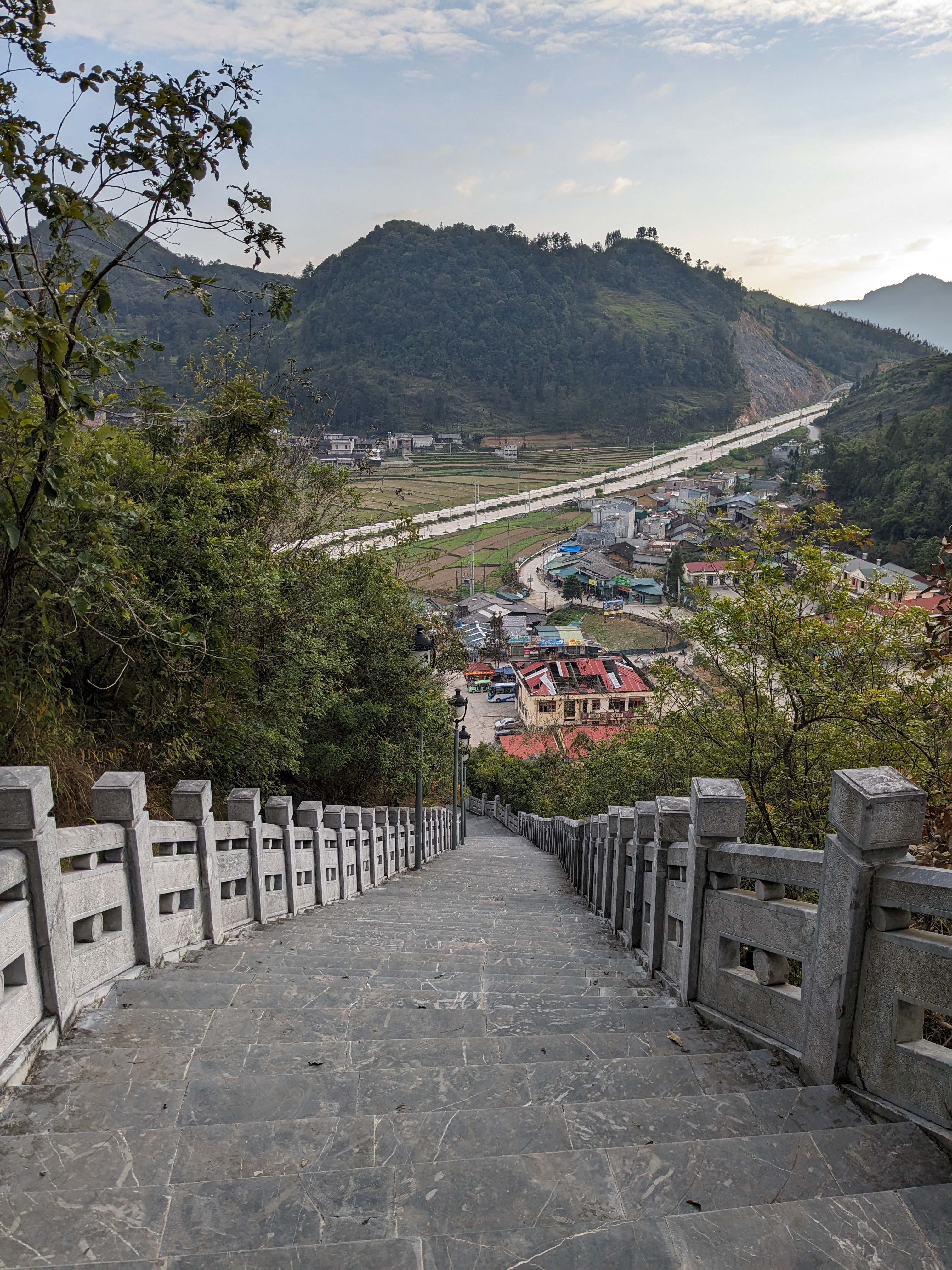
I found a hostel in Ha Giang for £2 a night including breakfast and ended up having the entire dorm room to myself. There wasn’t much to explore in the town as it’s on the backpacking map for being the starting point for the infamous motorbike loop around the most northern part of Vietnam.

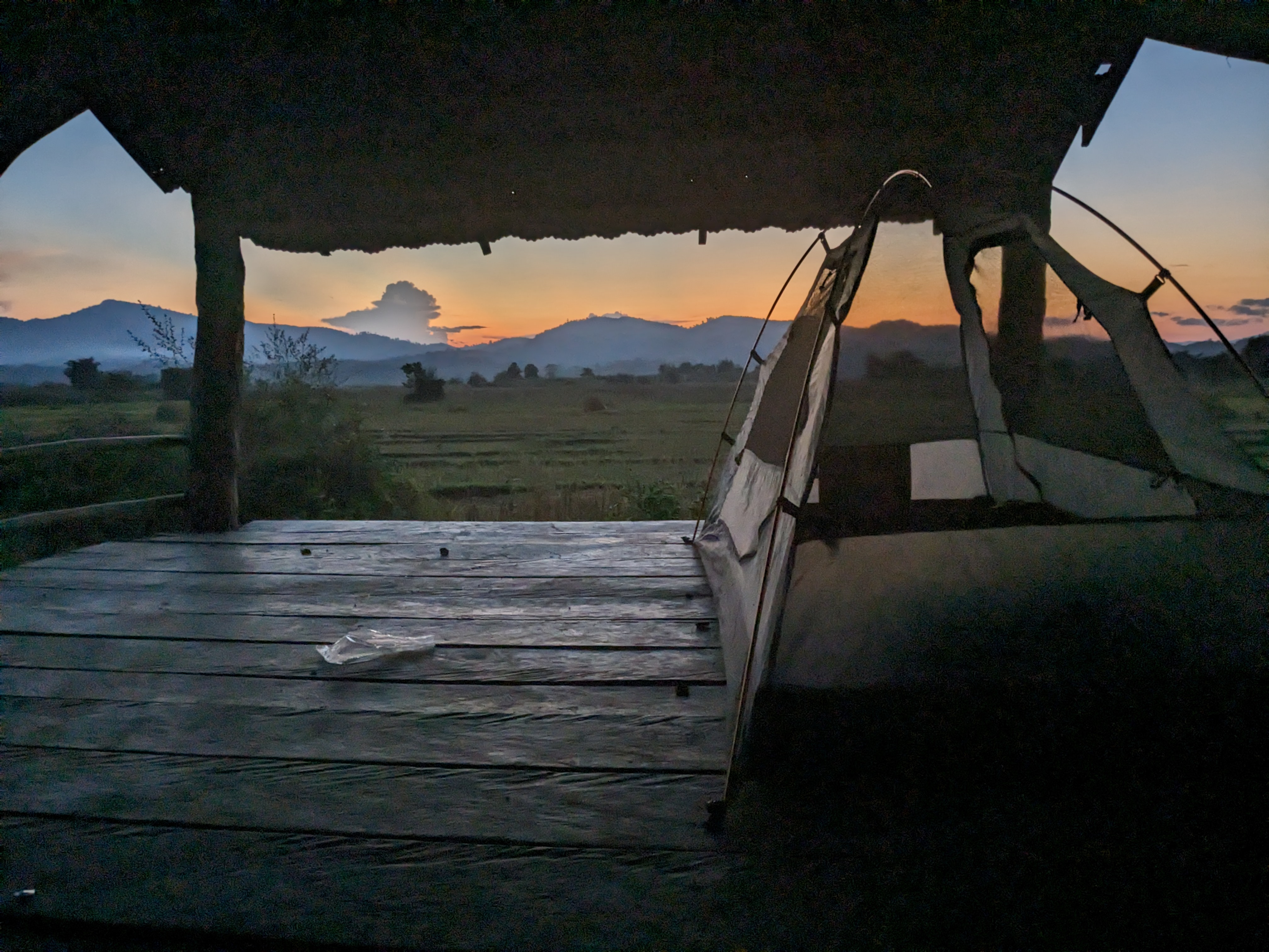
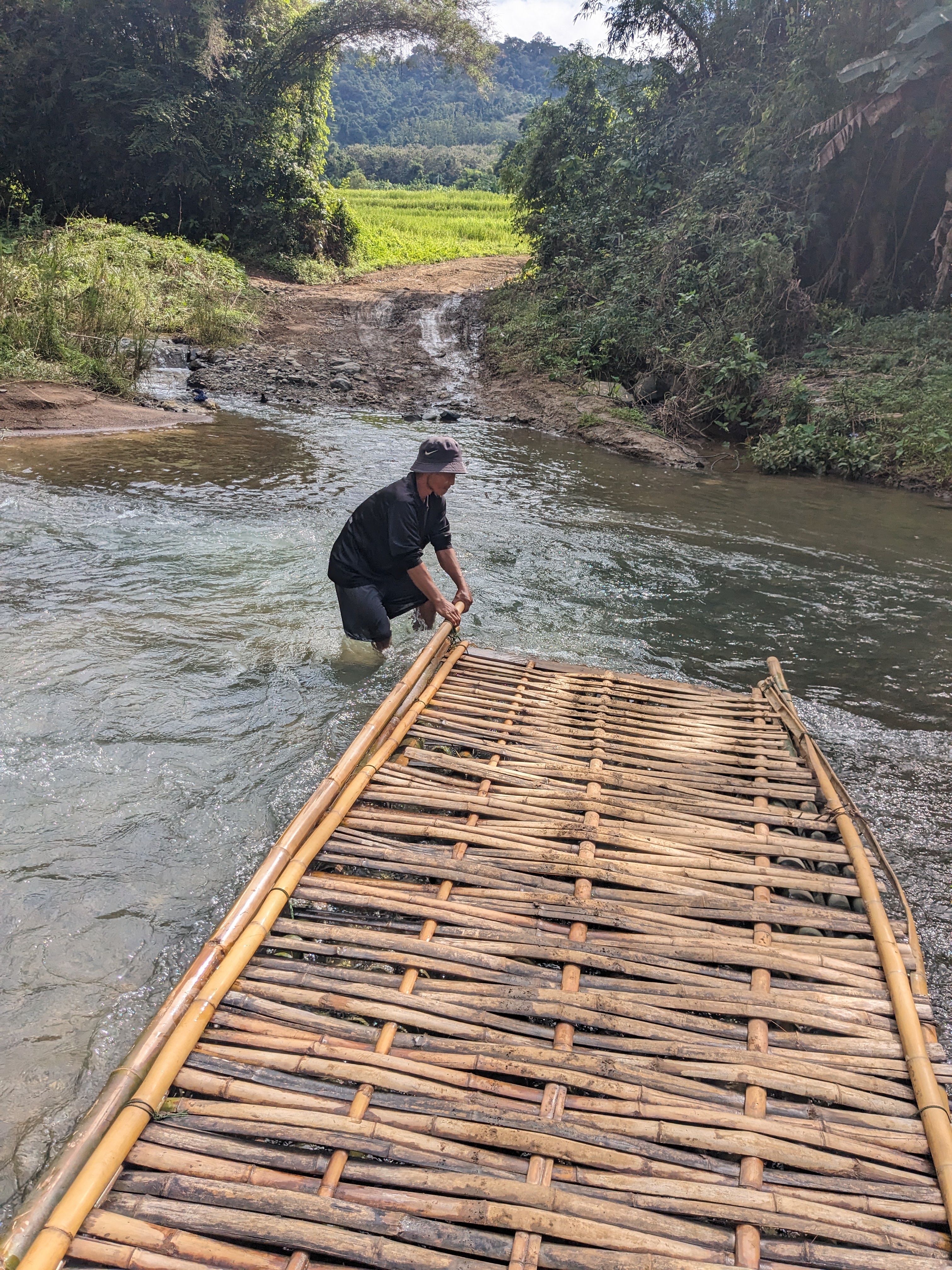
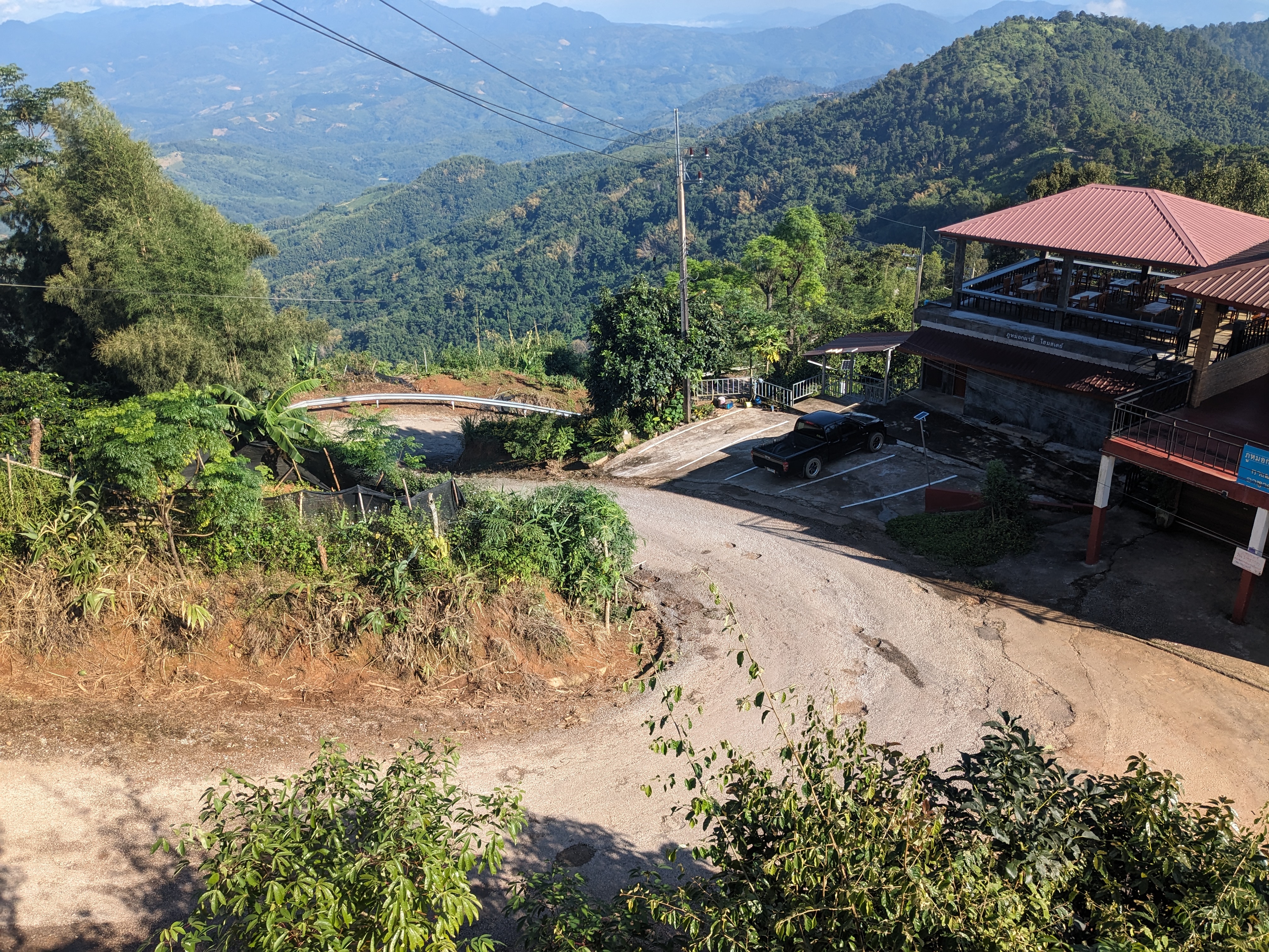
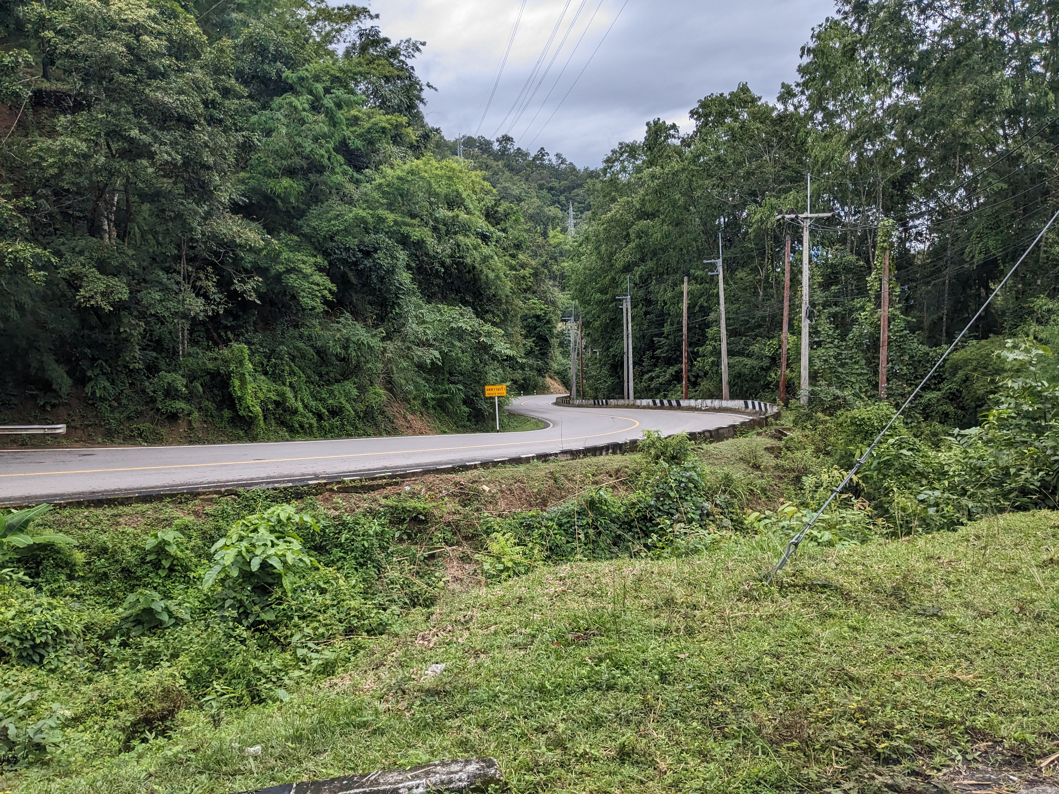
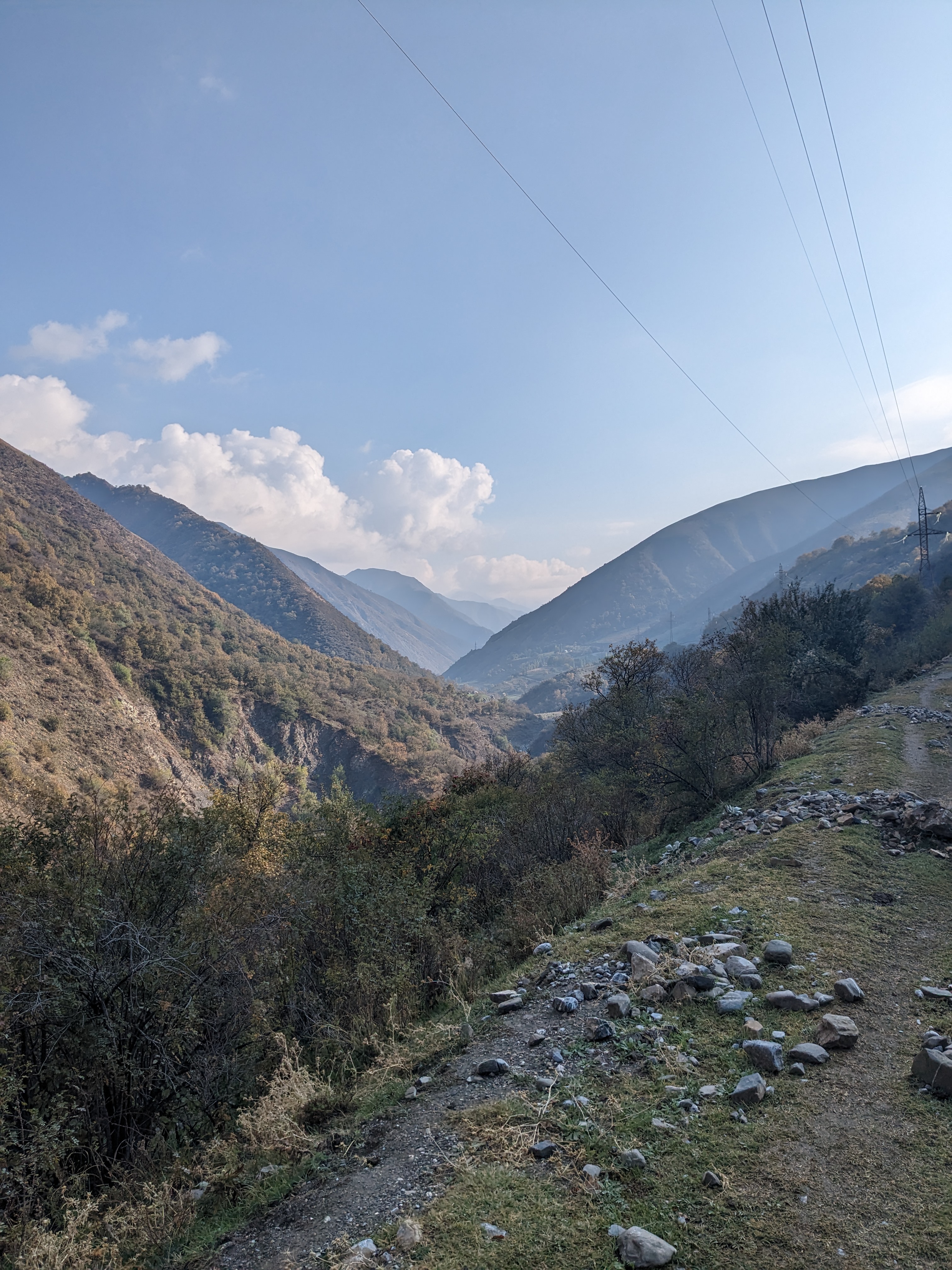
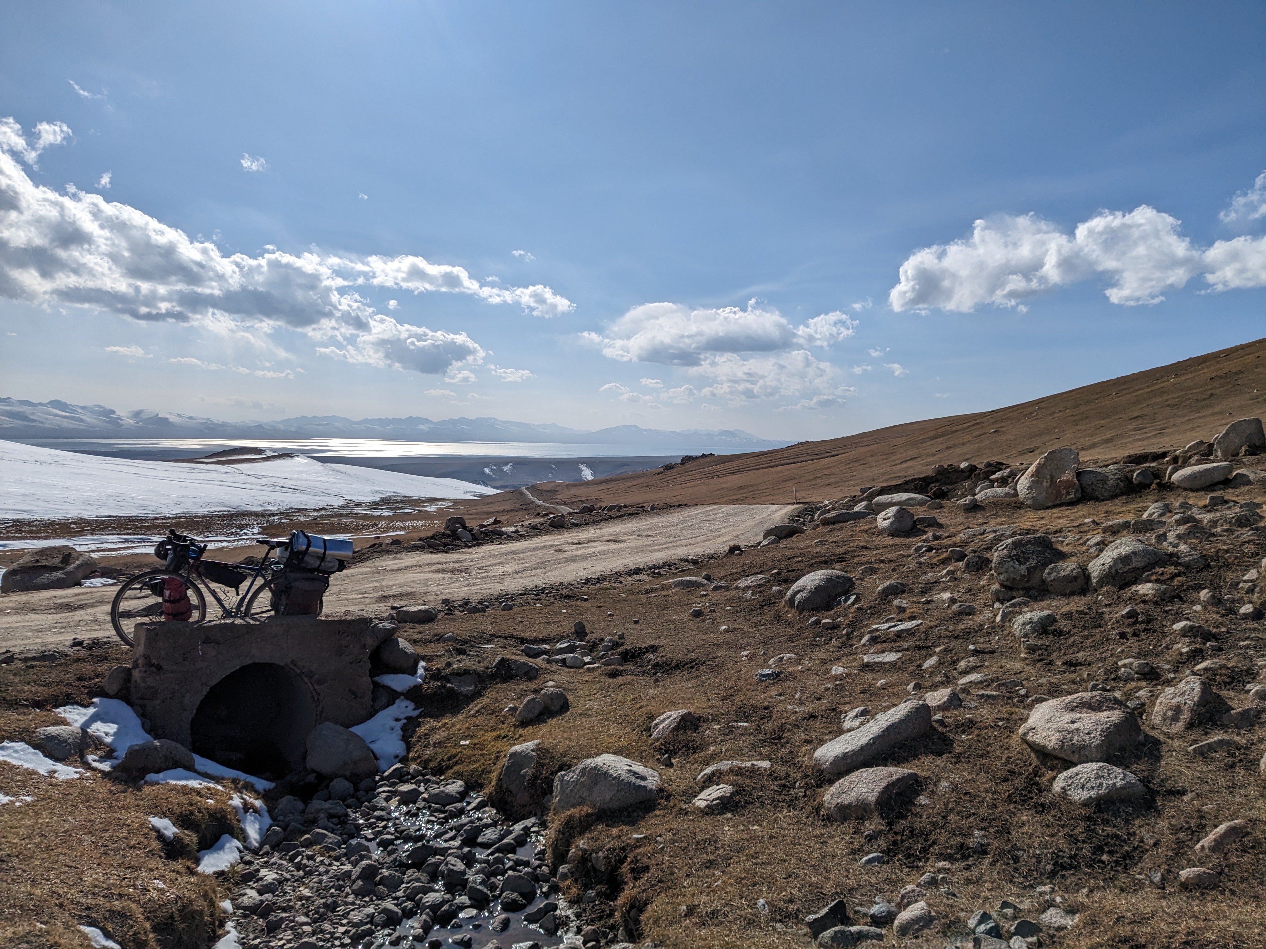
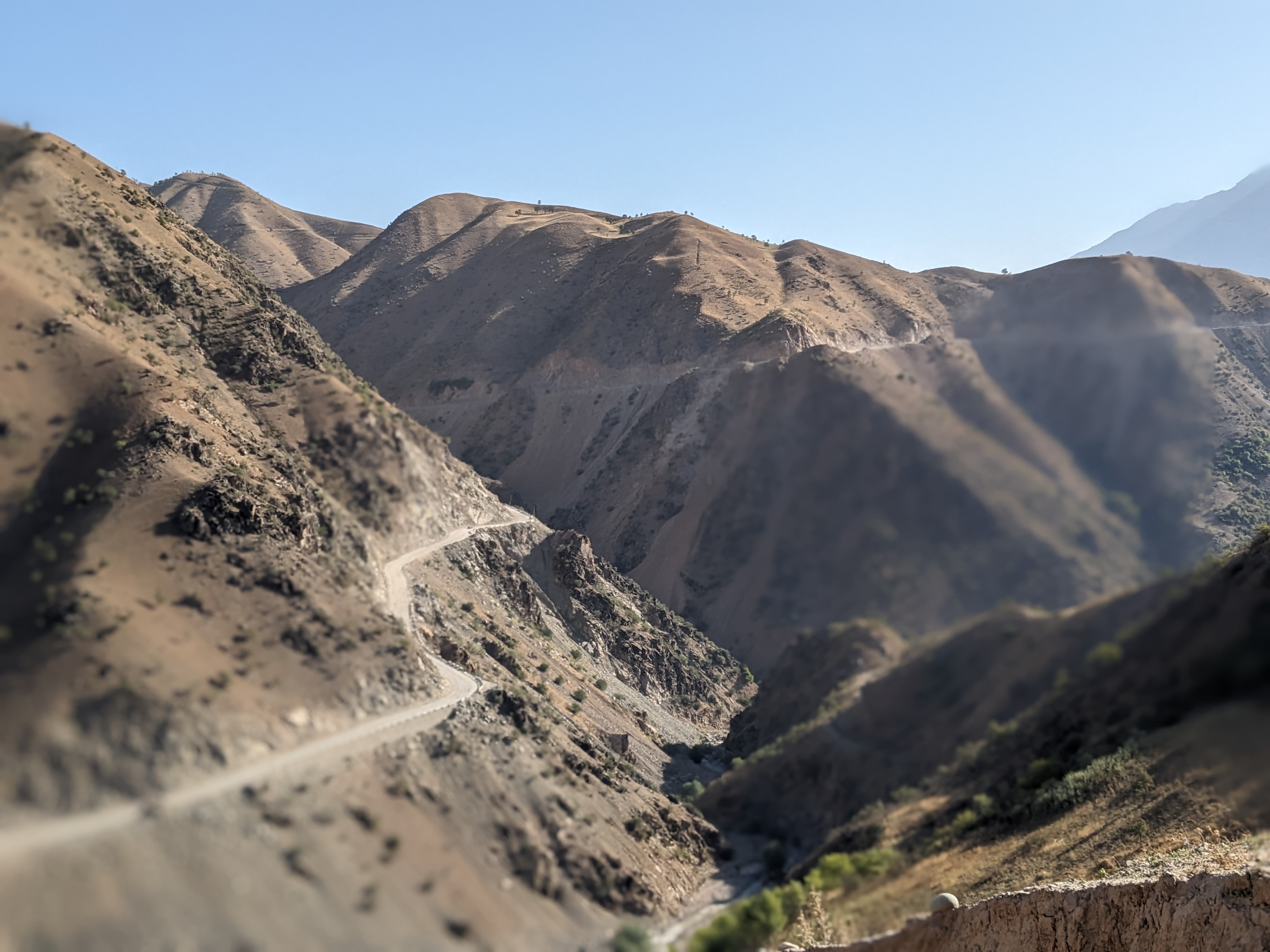
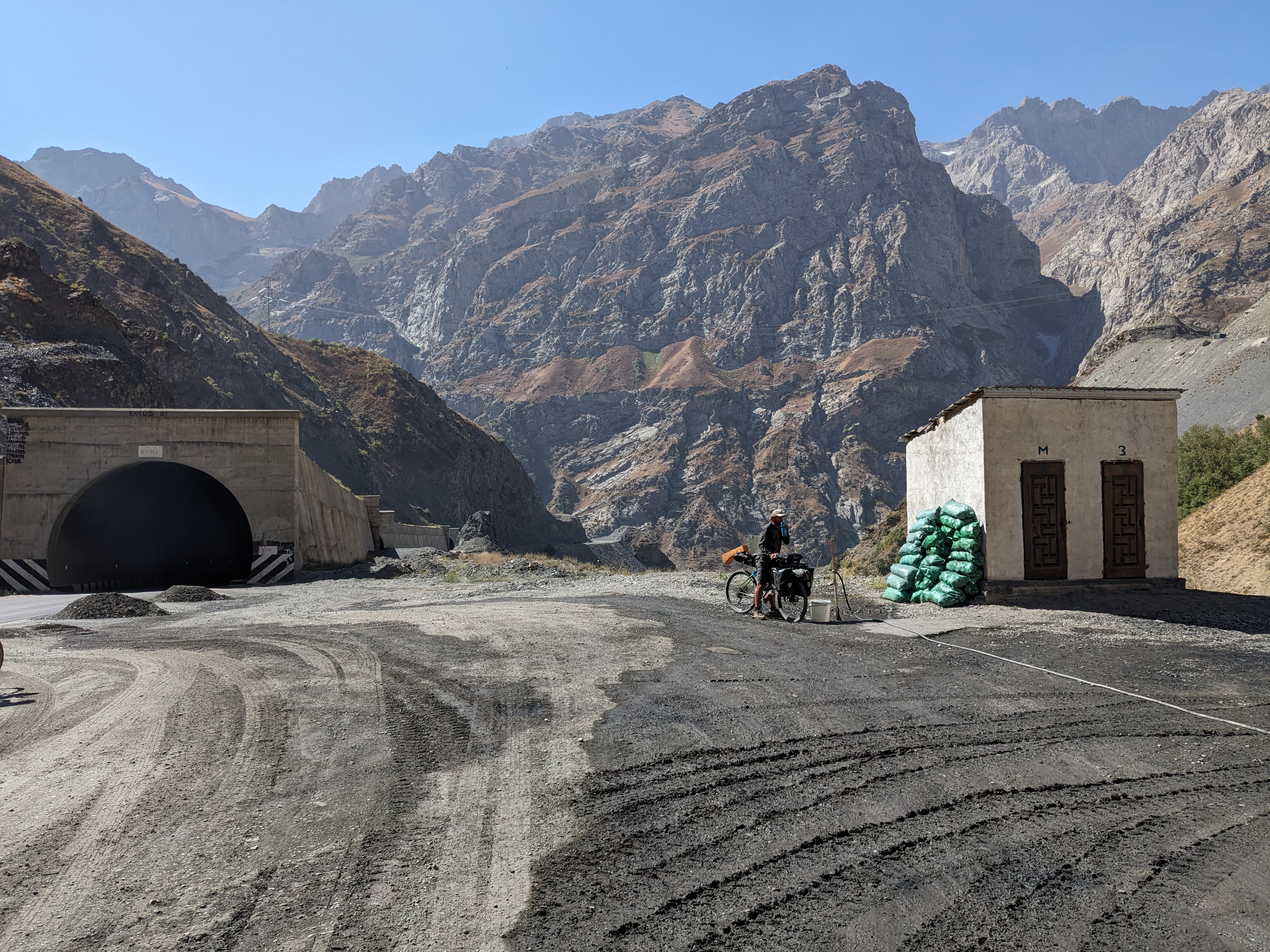
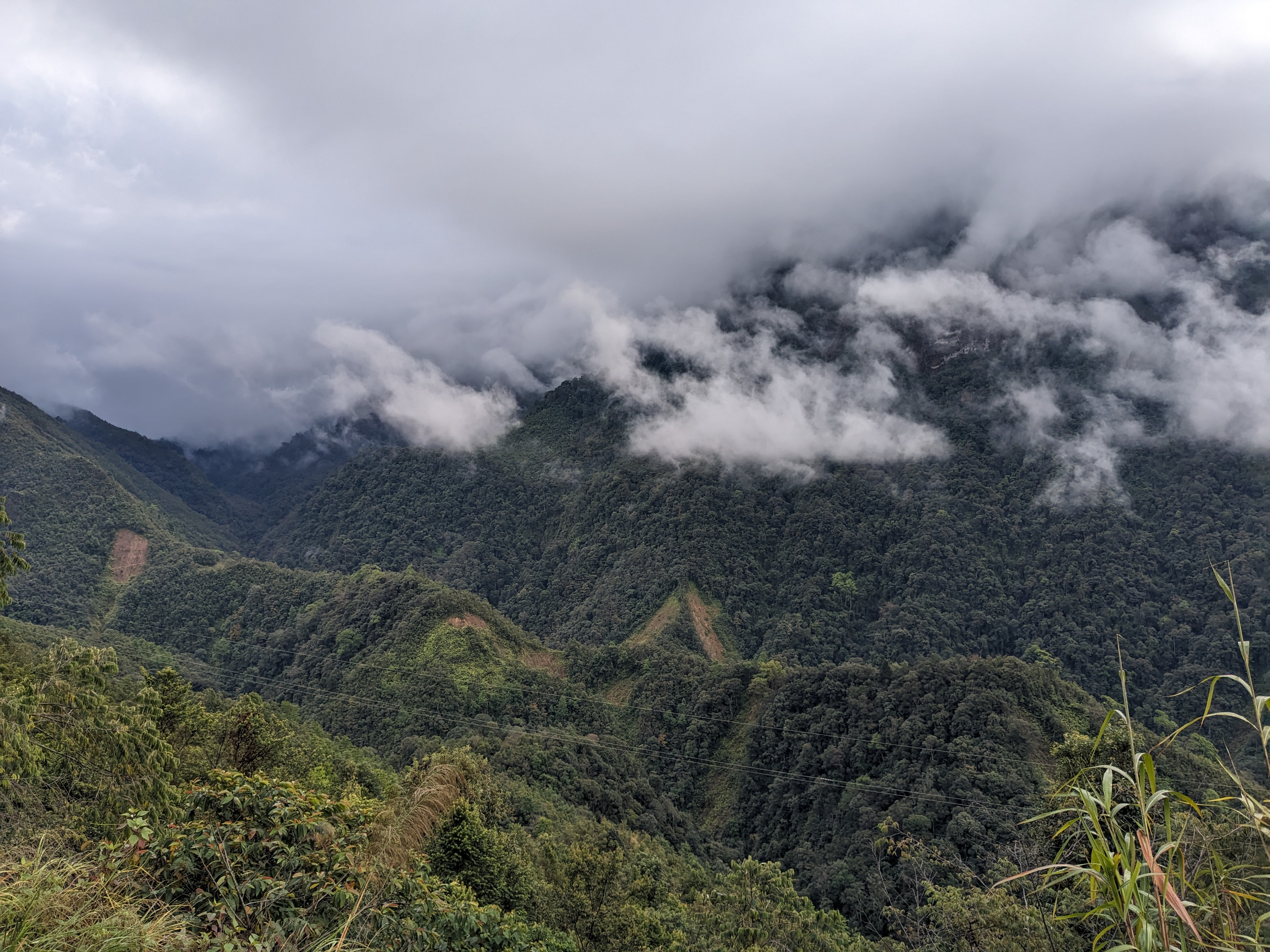
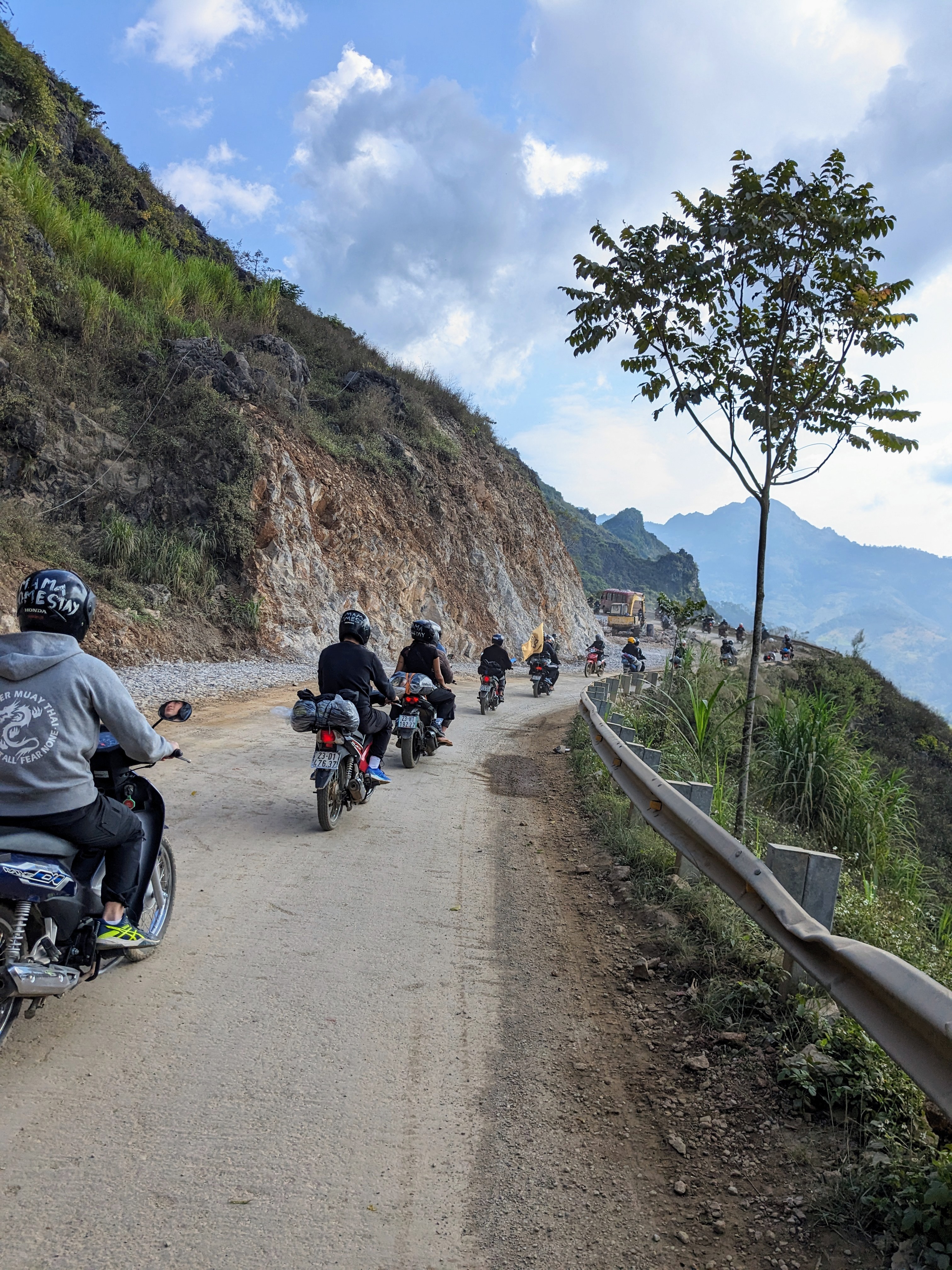
Embarking on the Ha Giang loop, I faced more mountain passes in the clouds on the first day however, I still could enjoy some spectacular views once out of the fog. Now into the mountains there were far more options for camping, and I spent the night in a quite forest clearing.

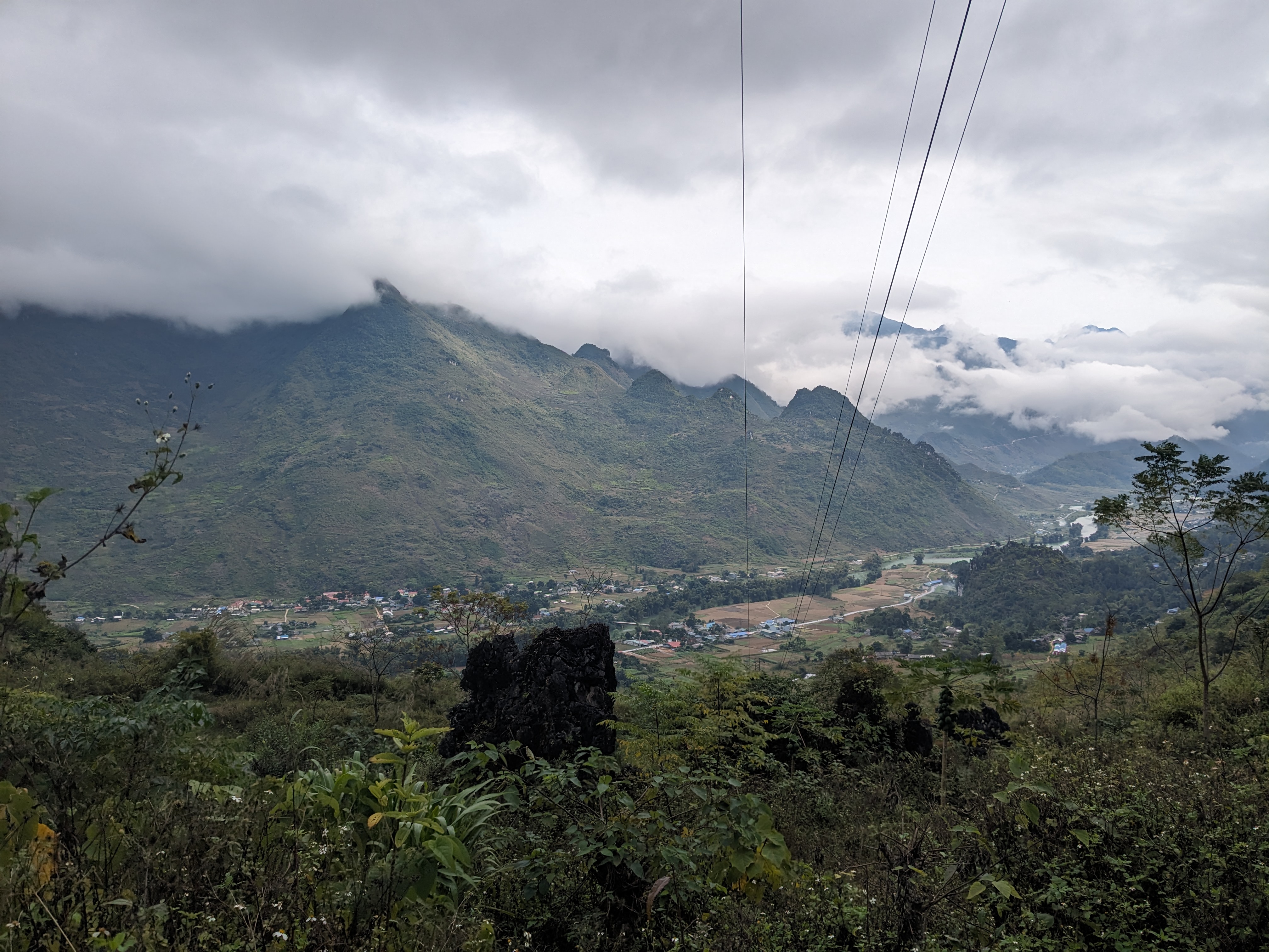
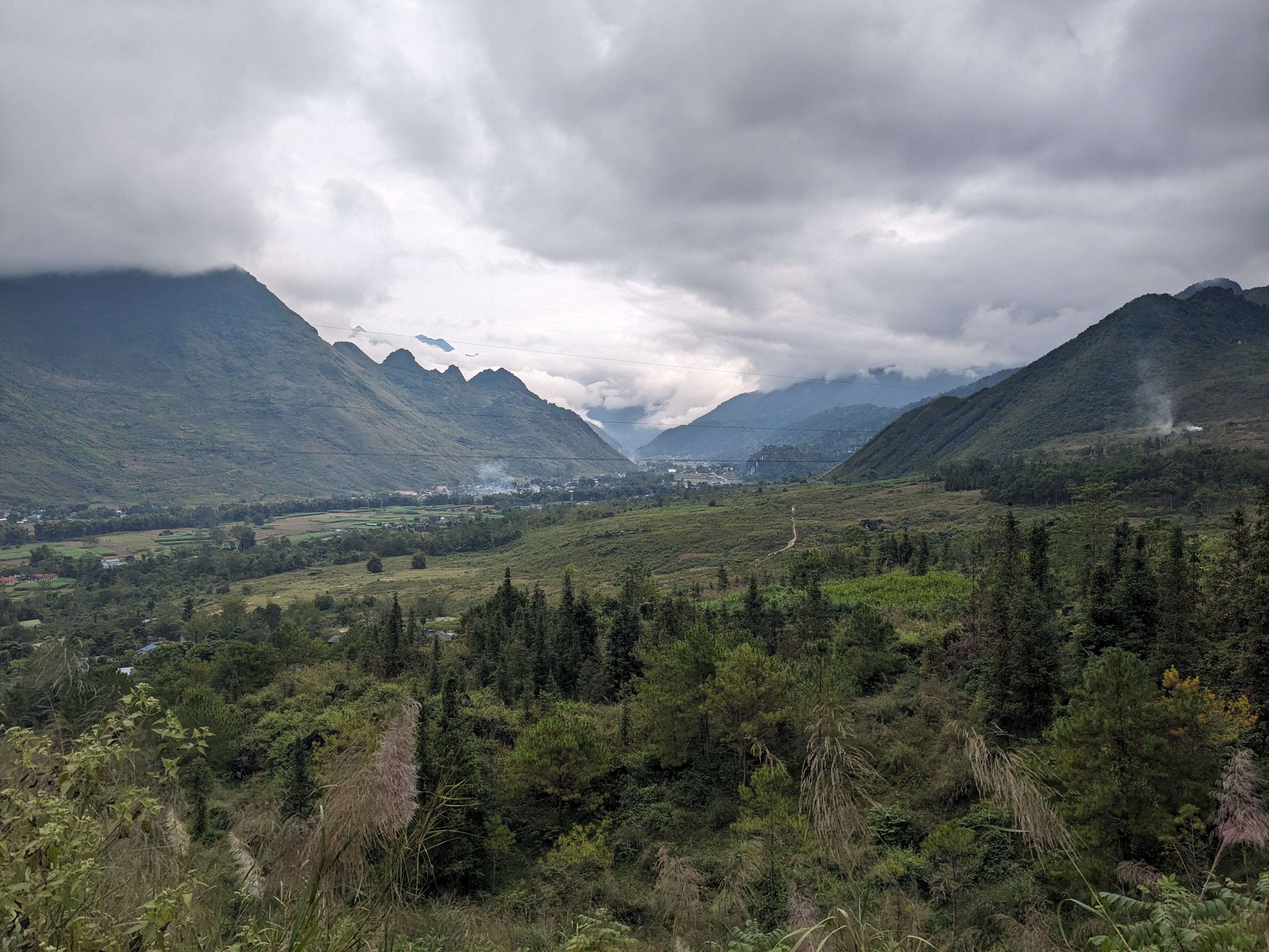
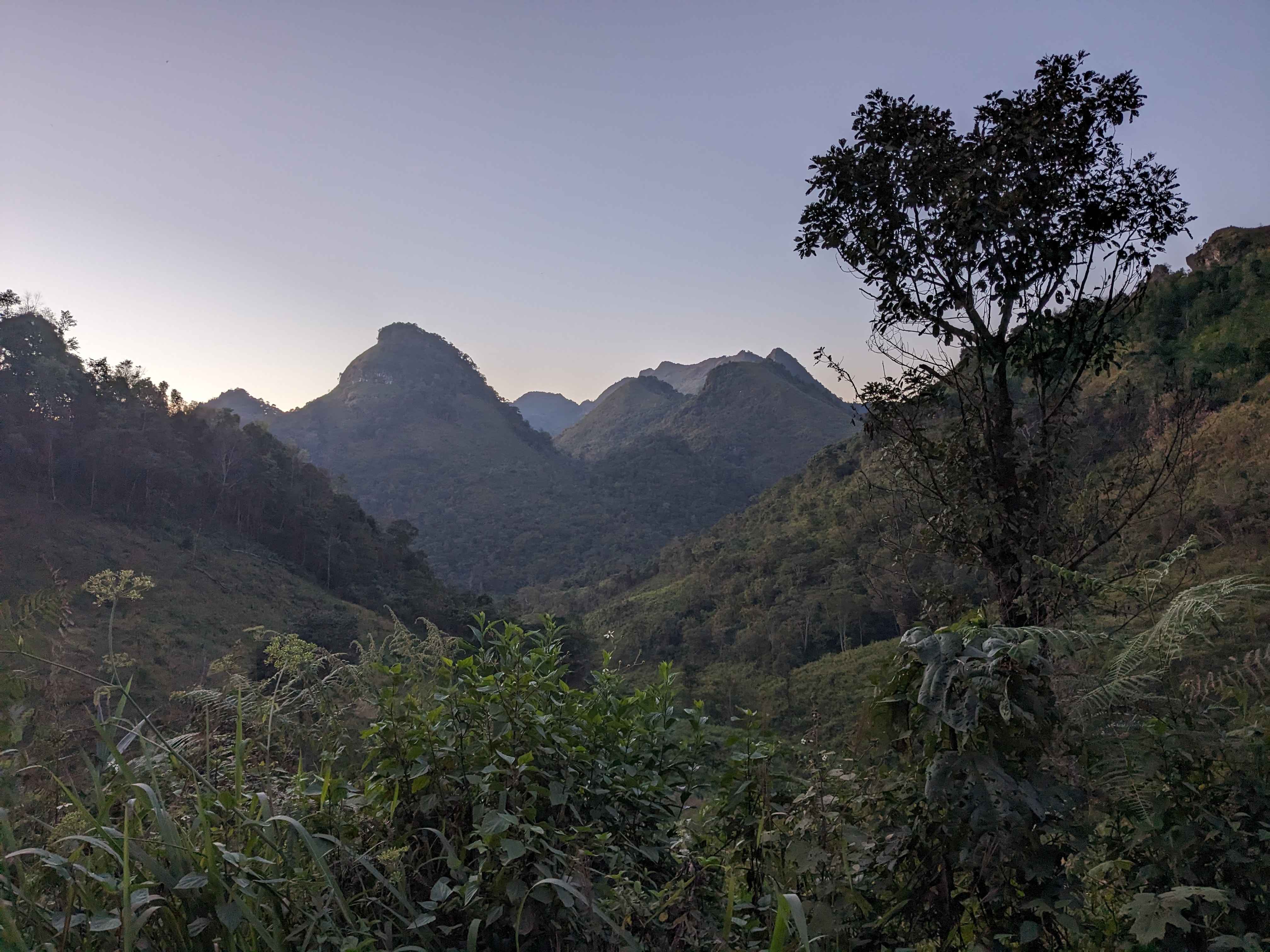
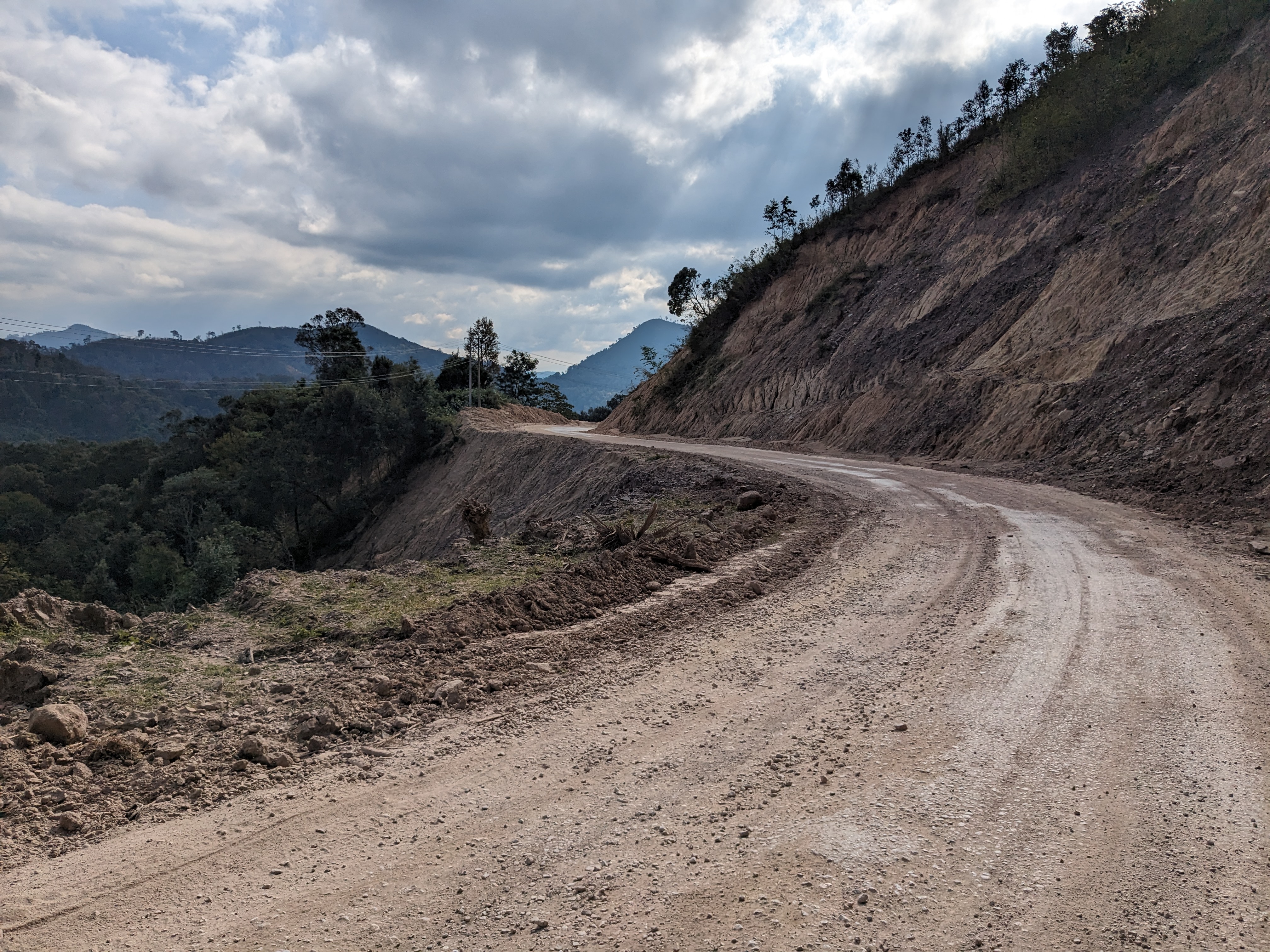
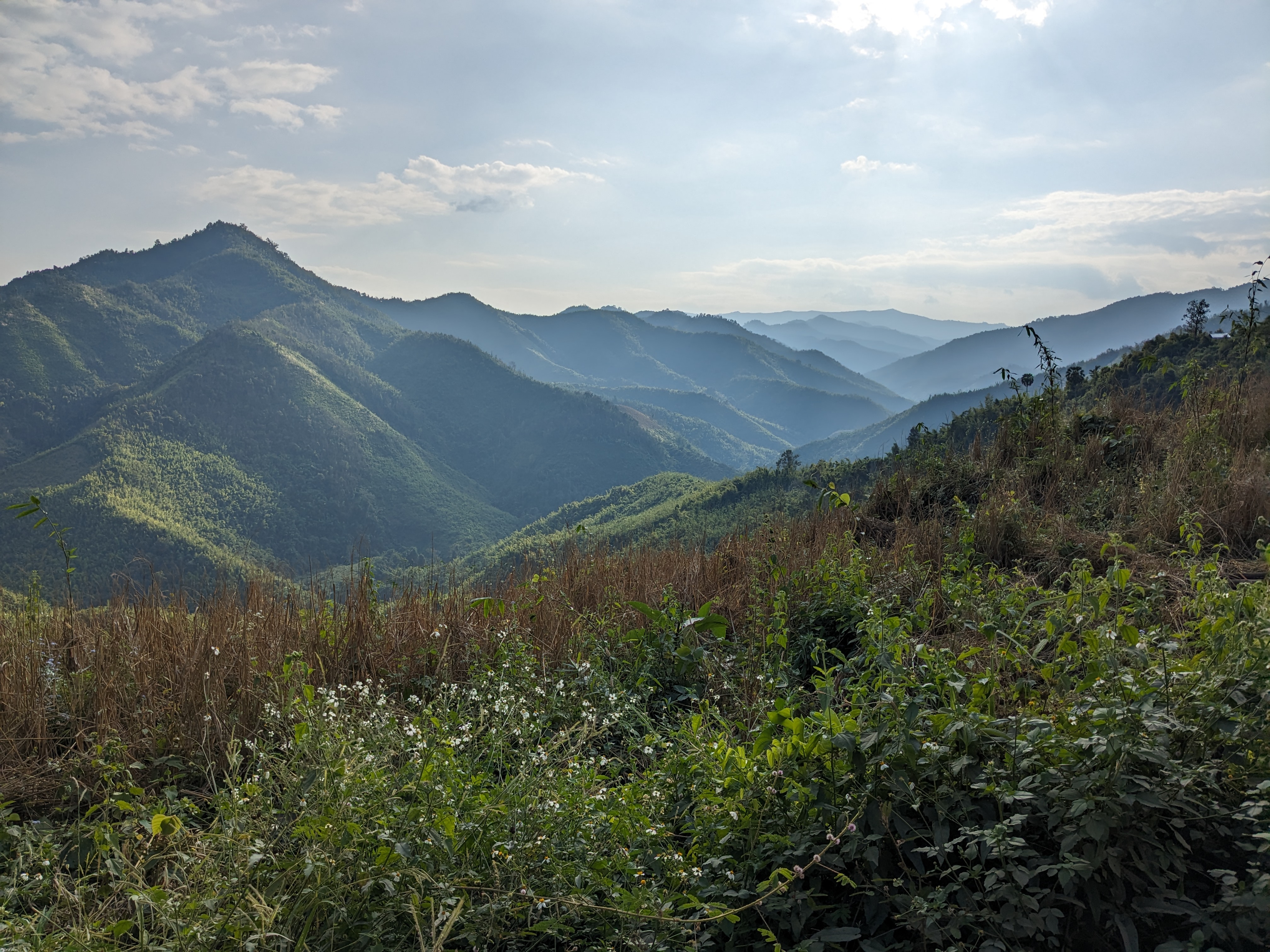
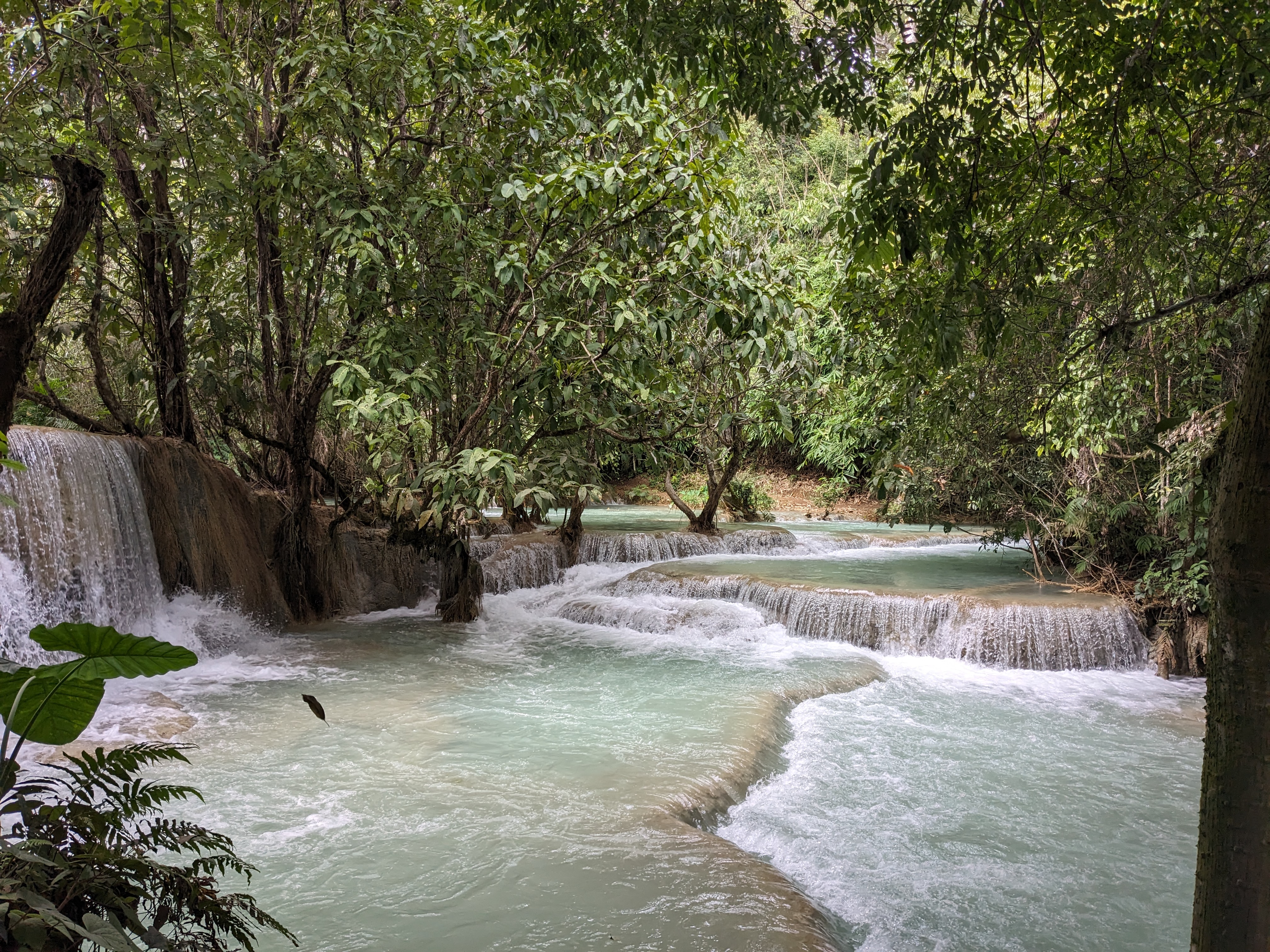
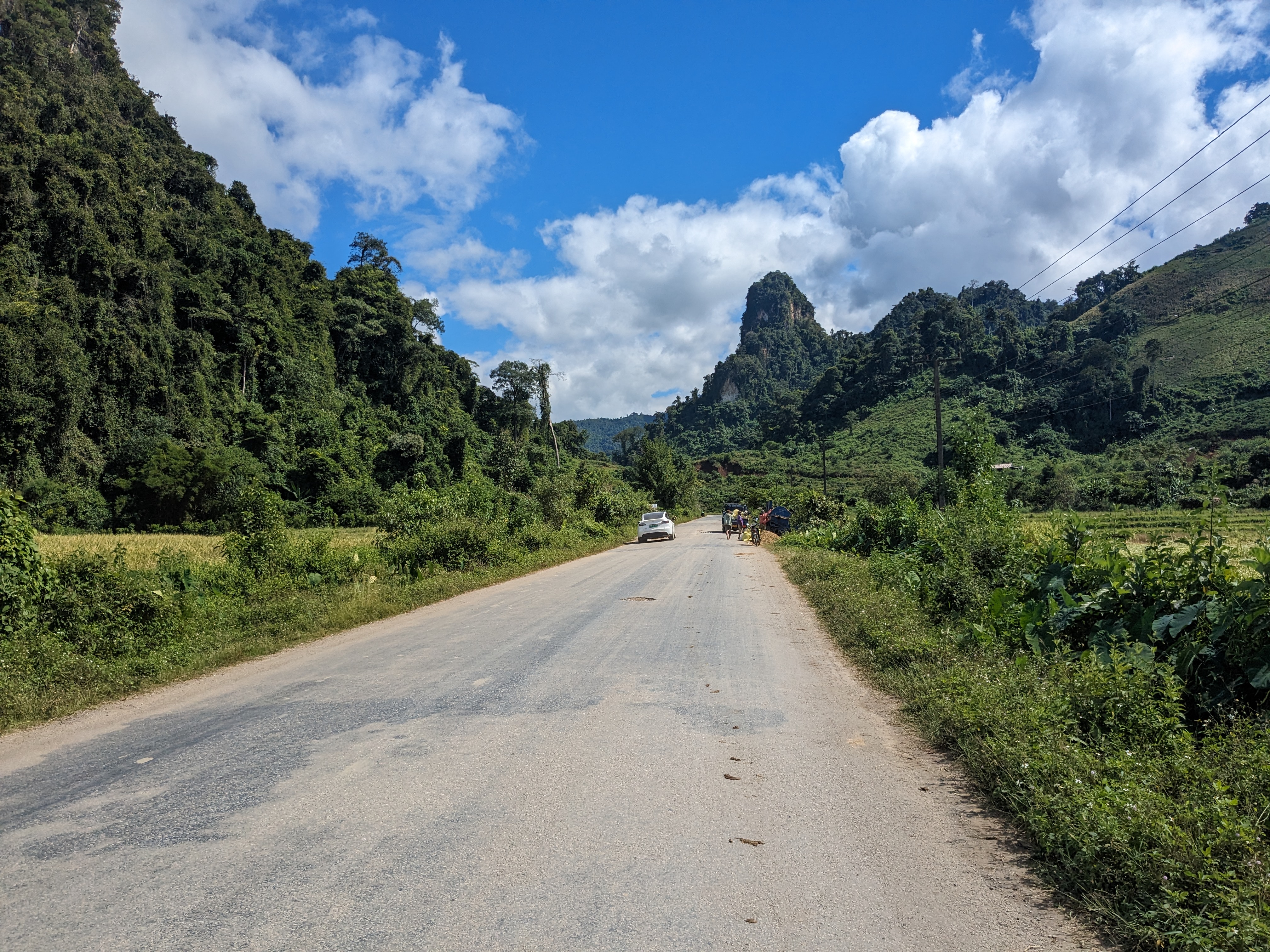
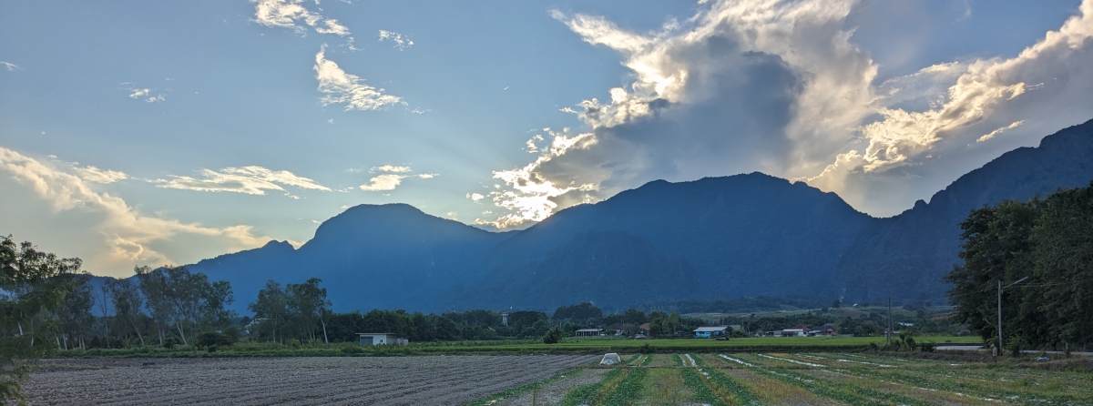
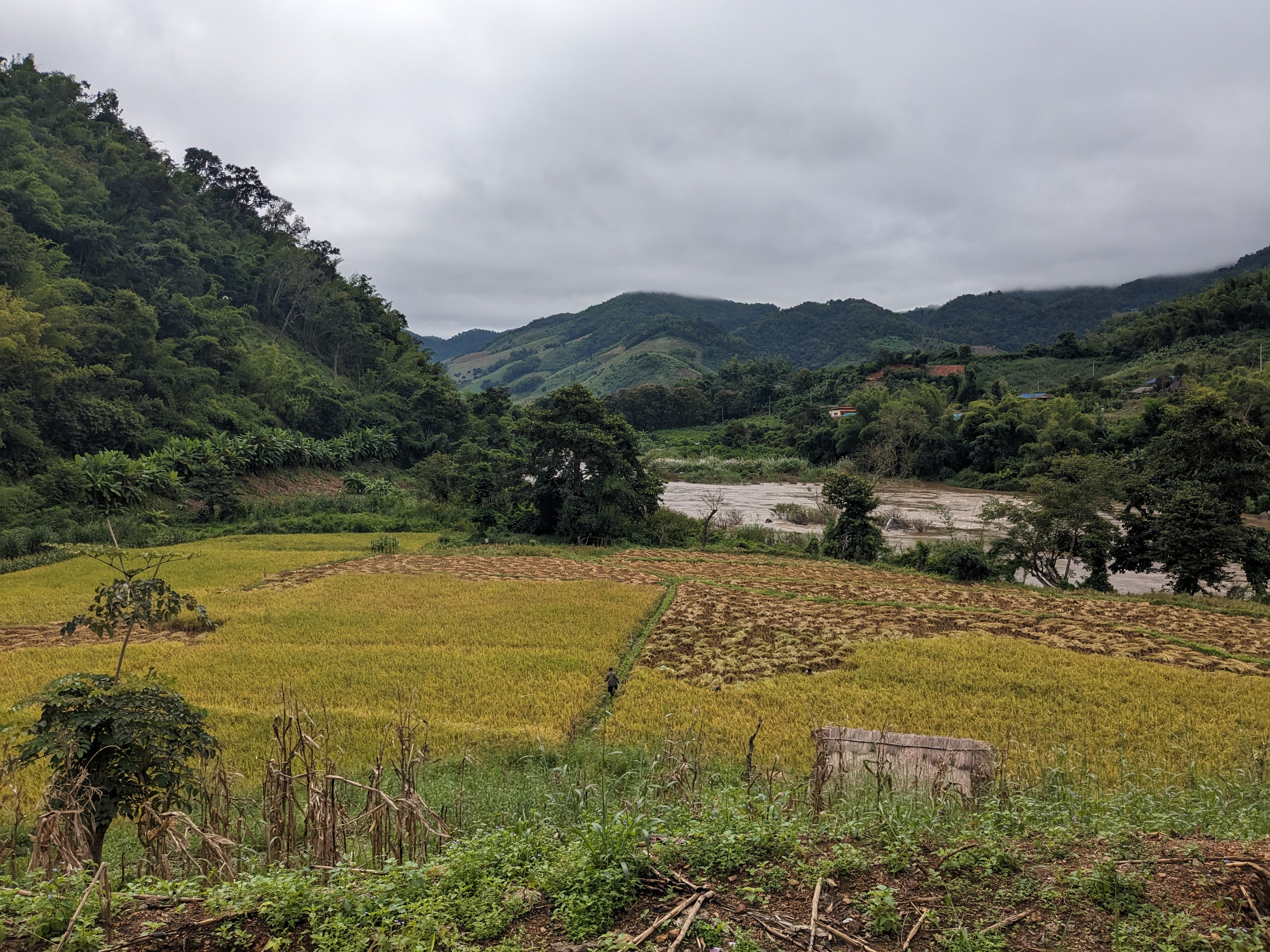
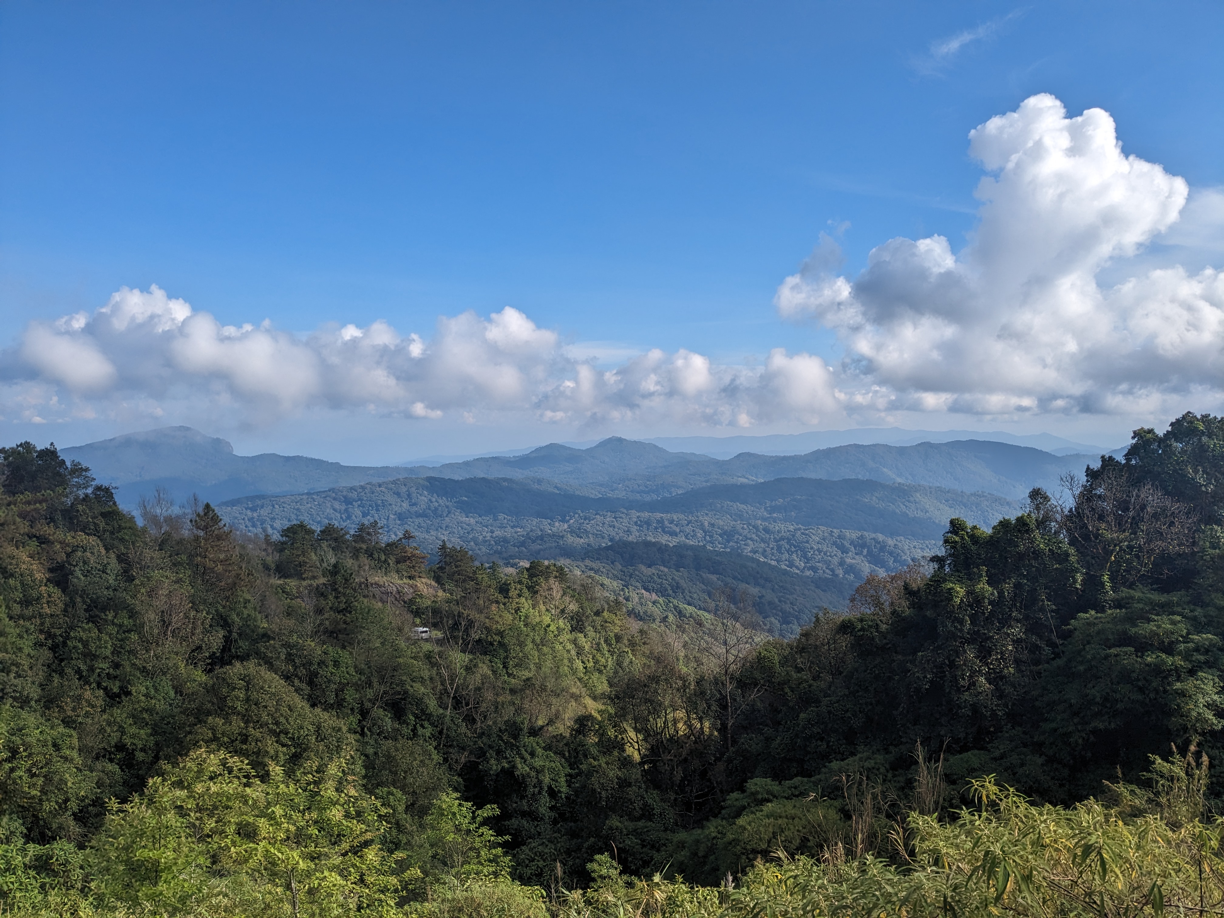
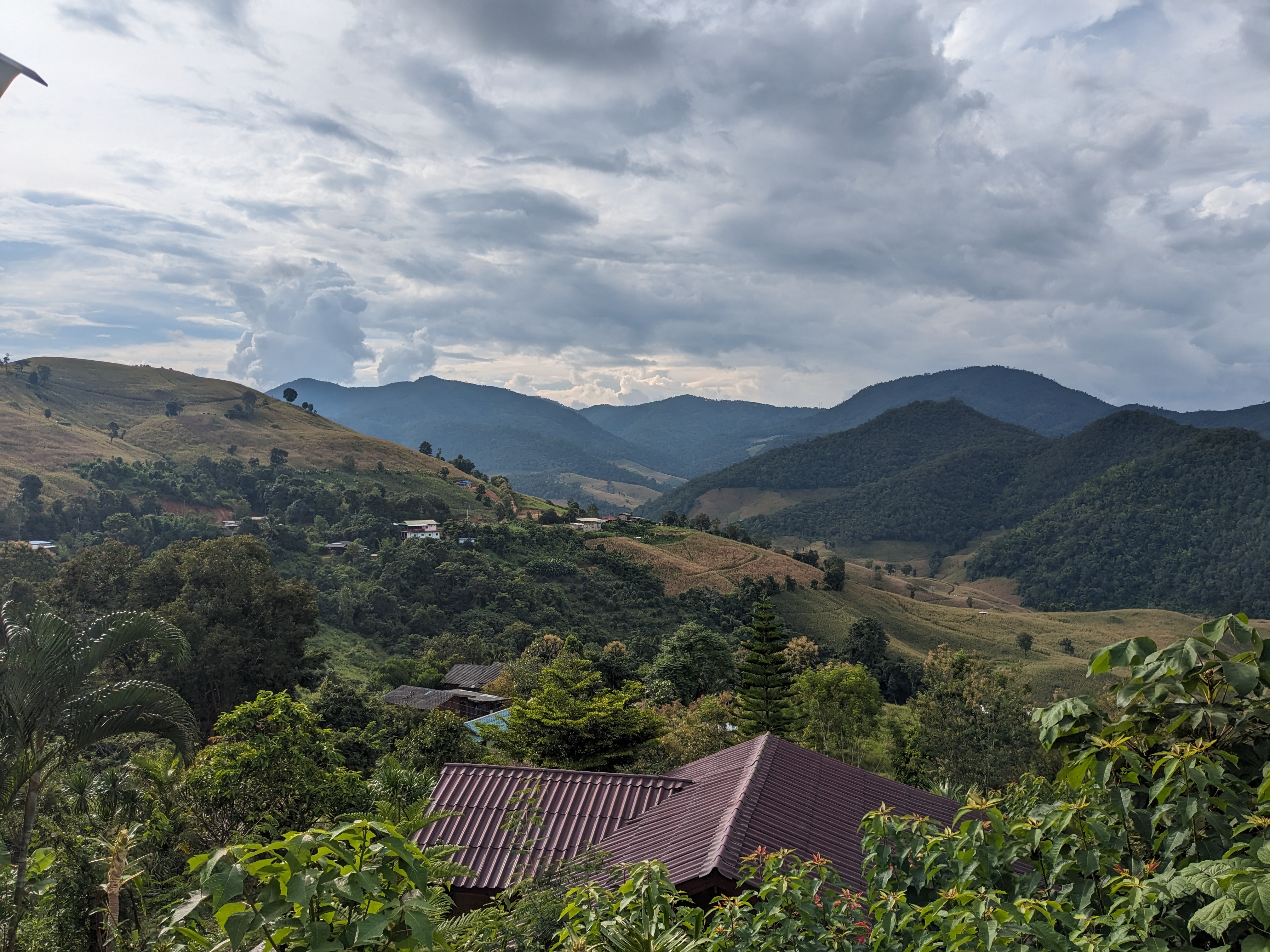
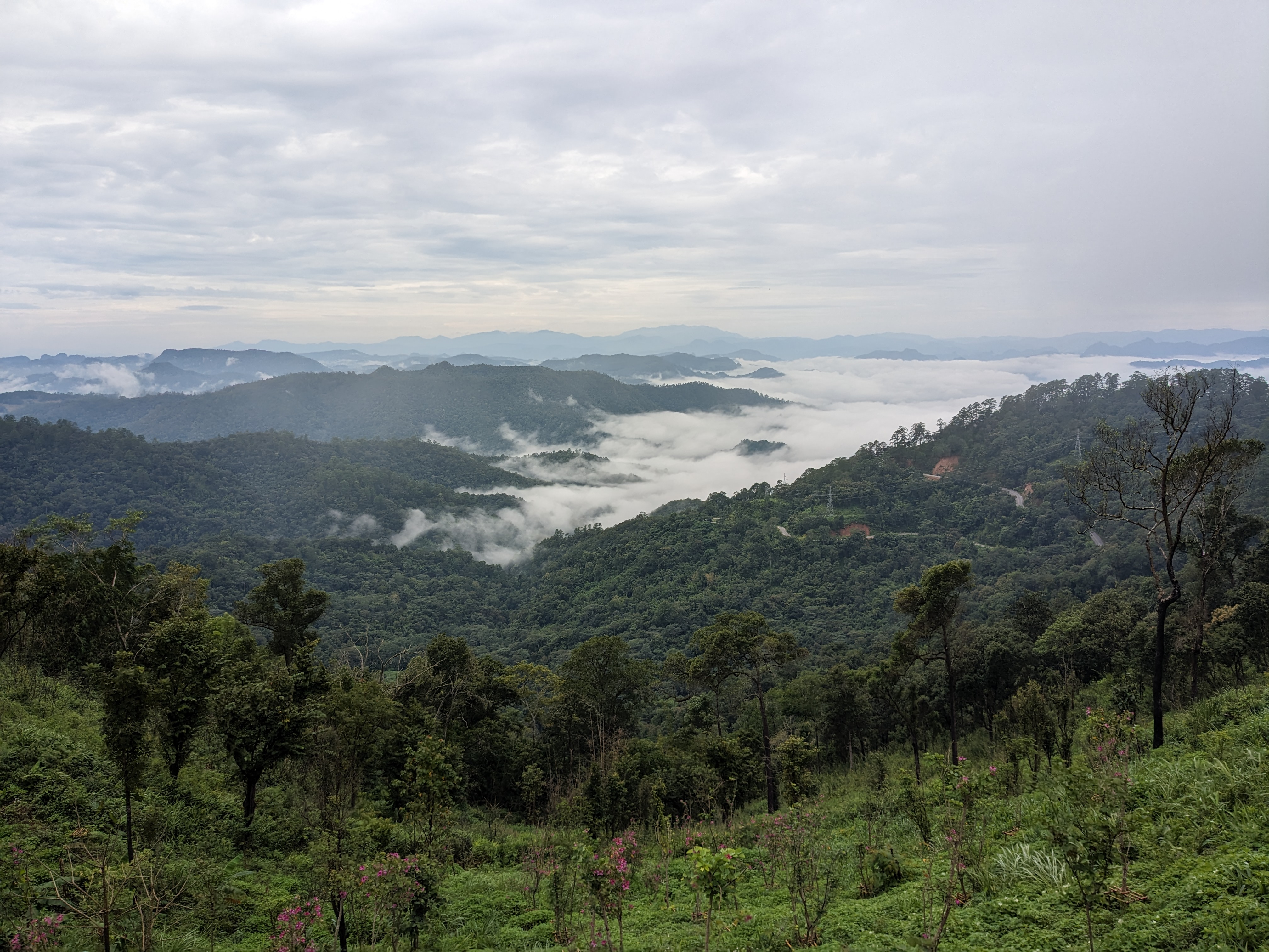
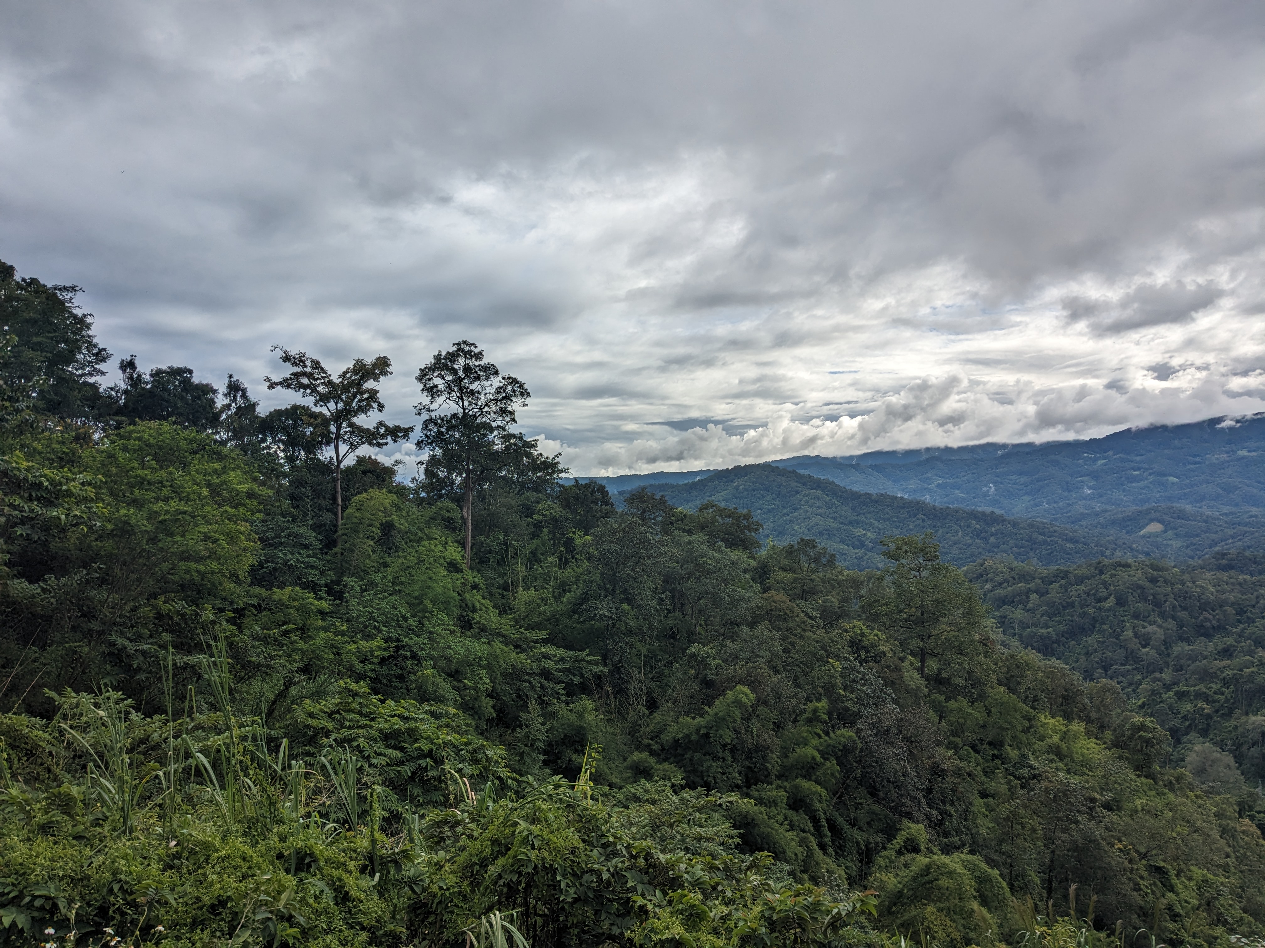
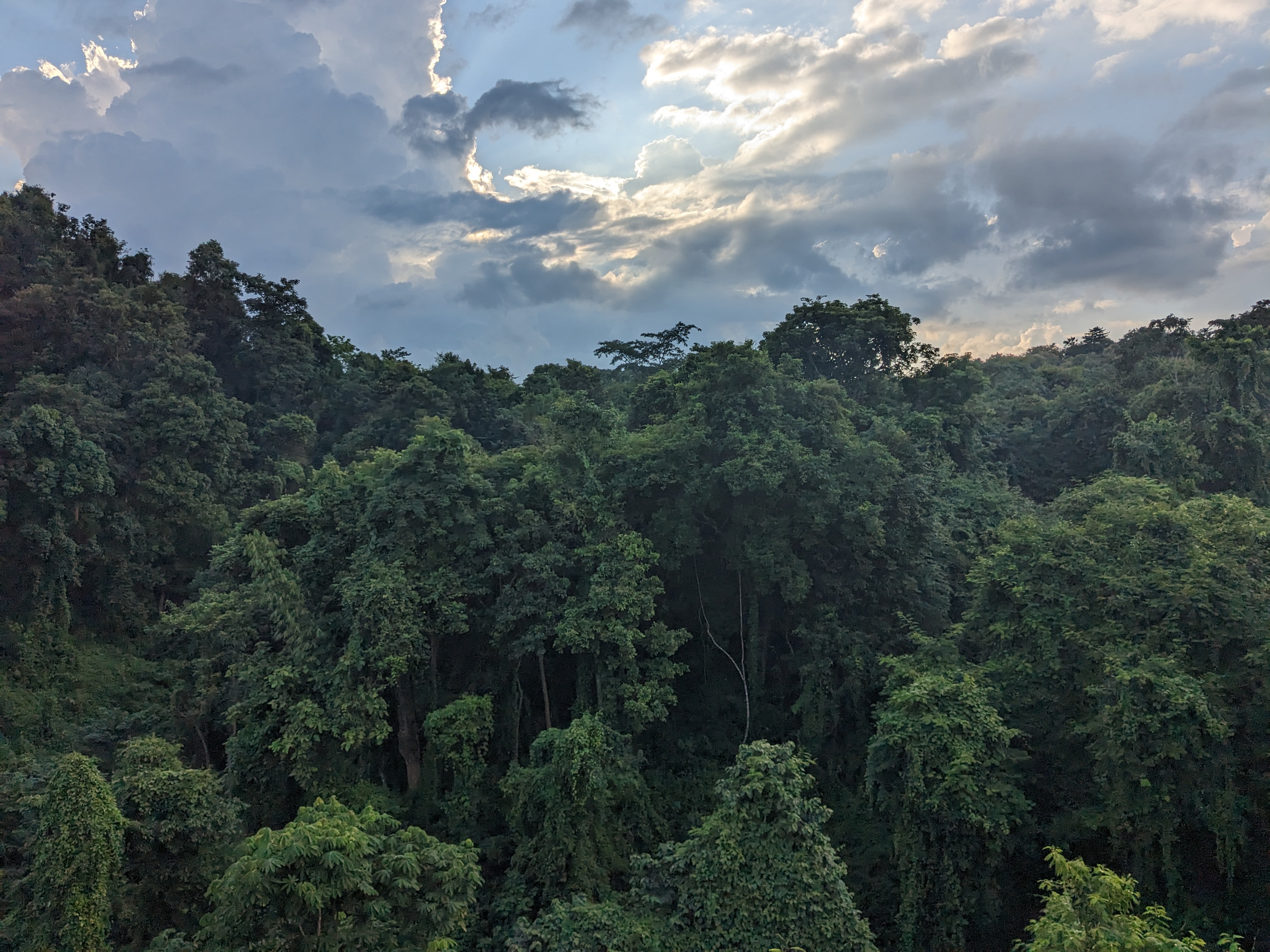
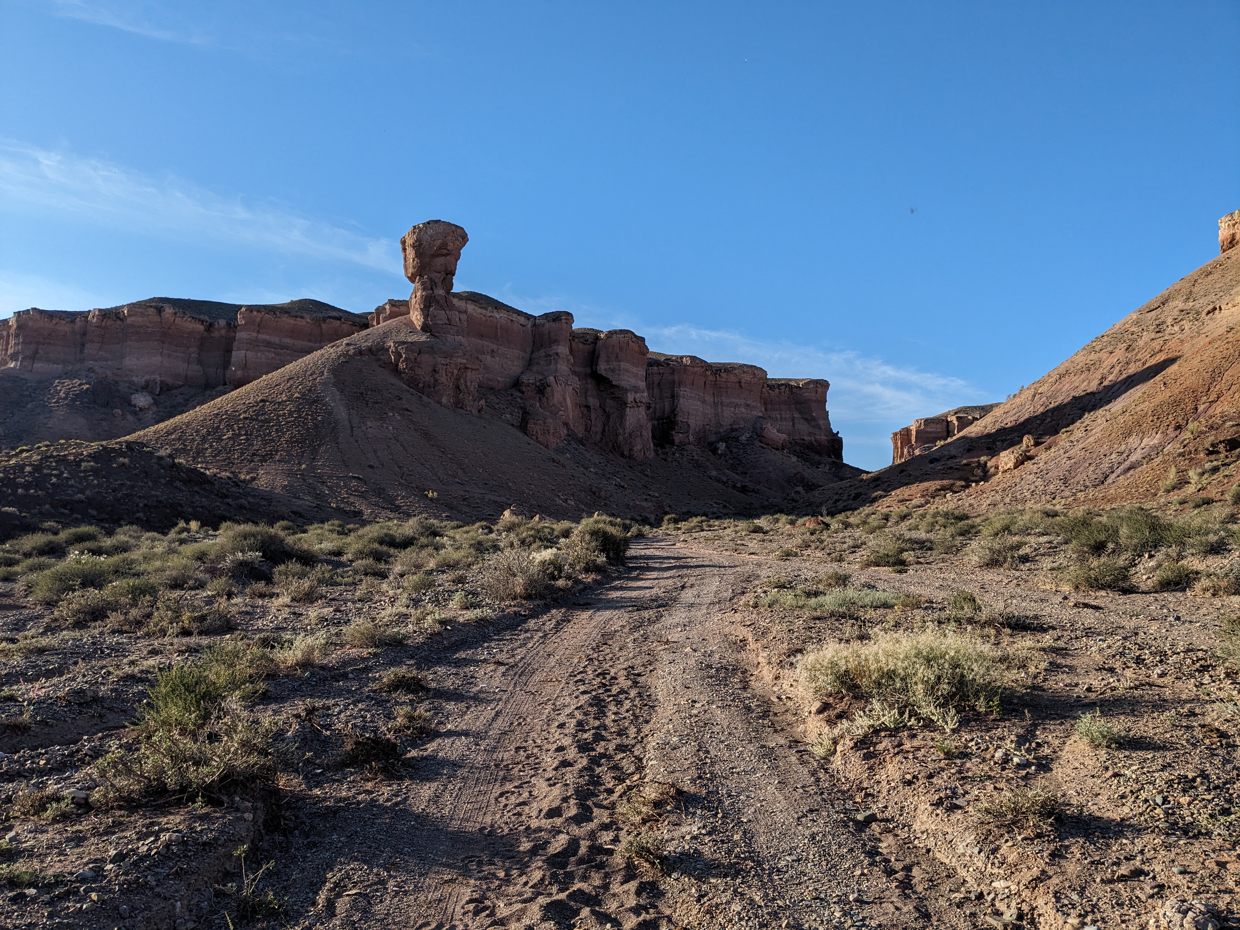
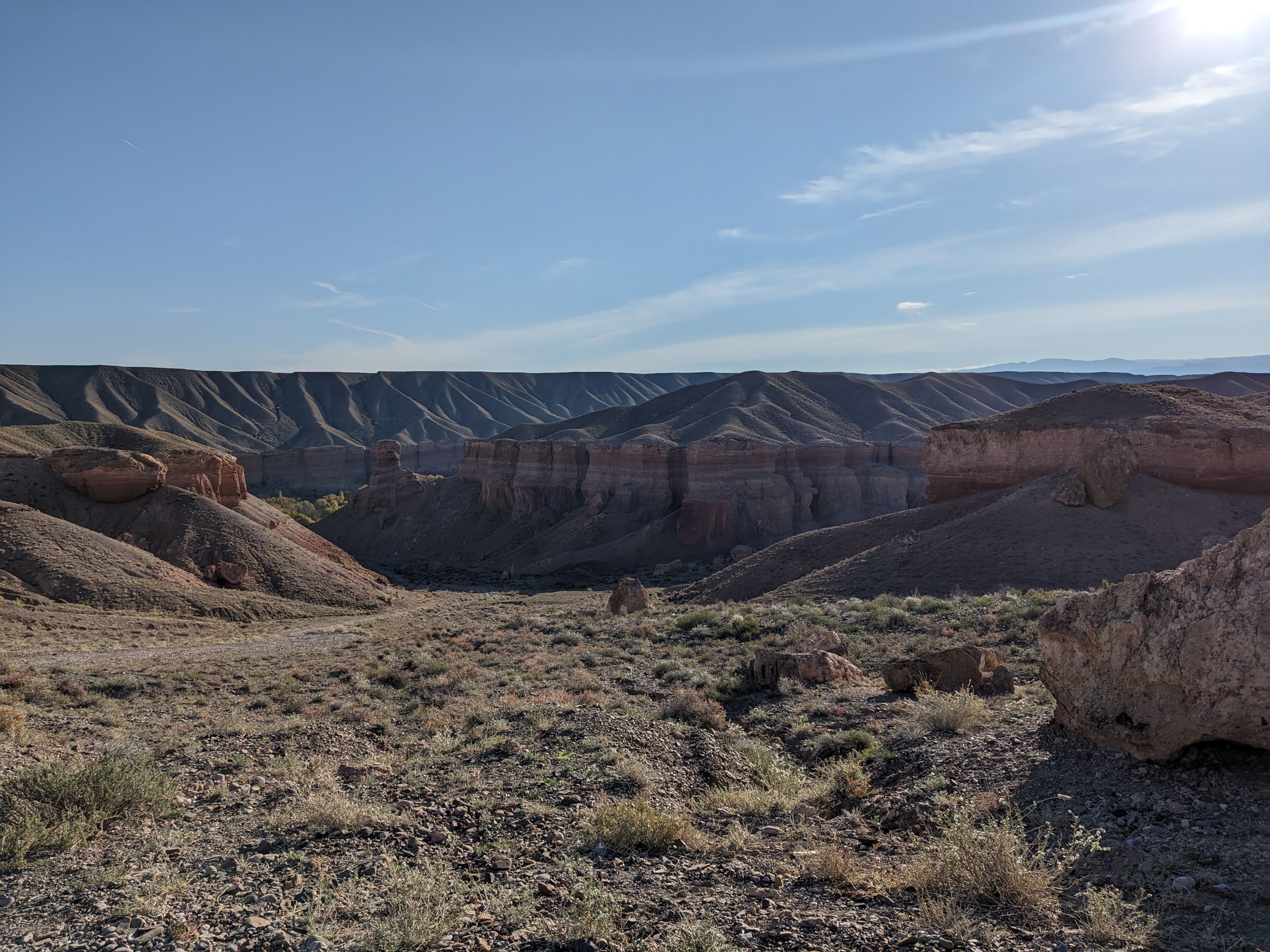
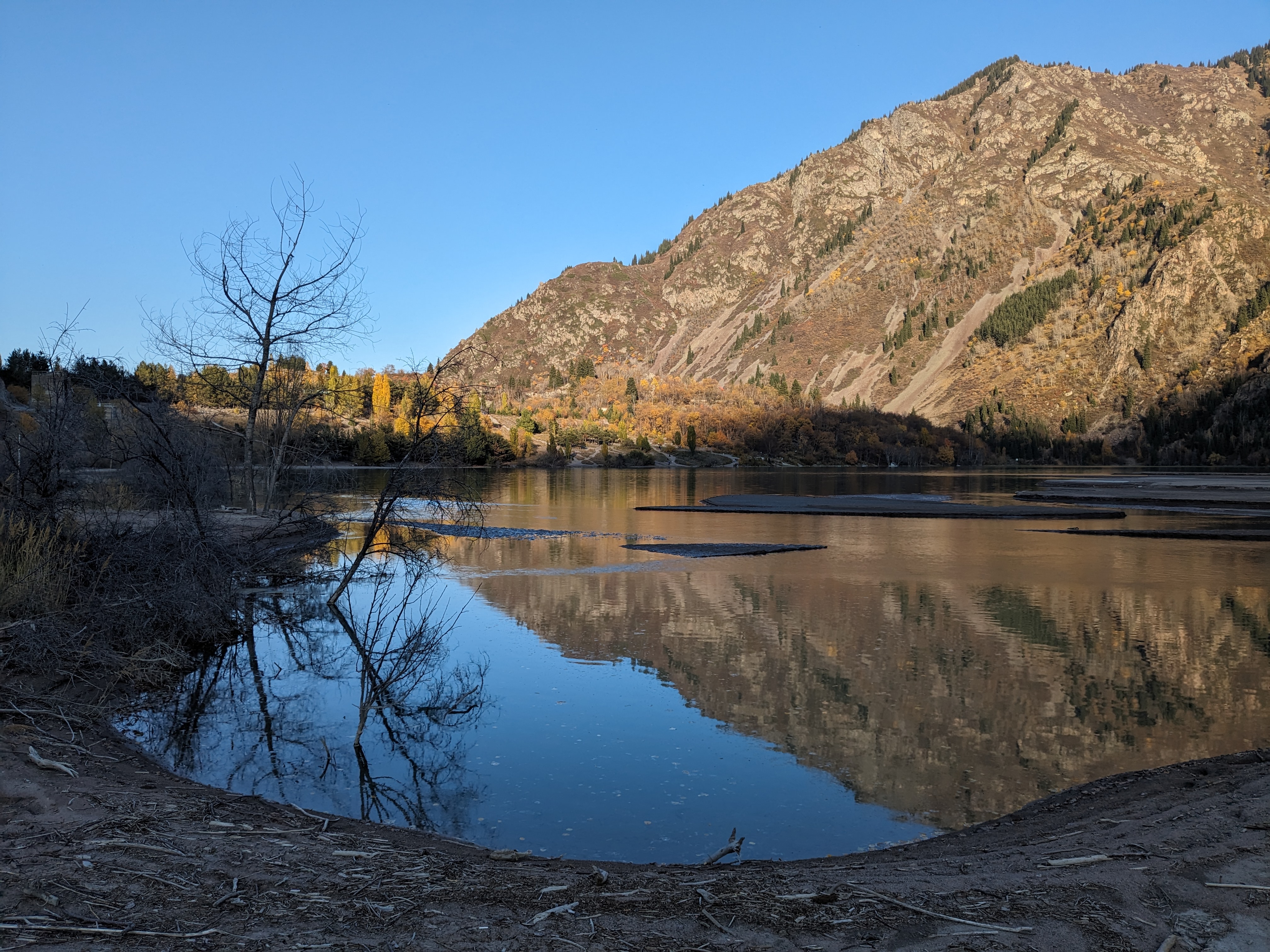
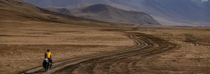
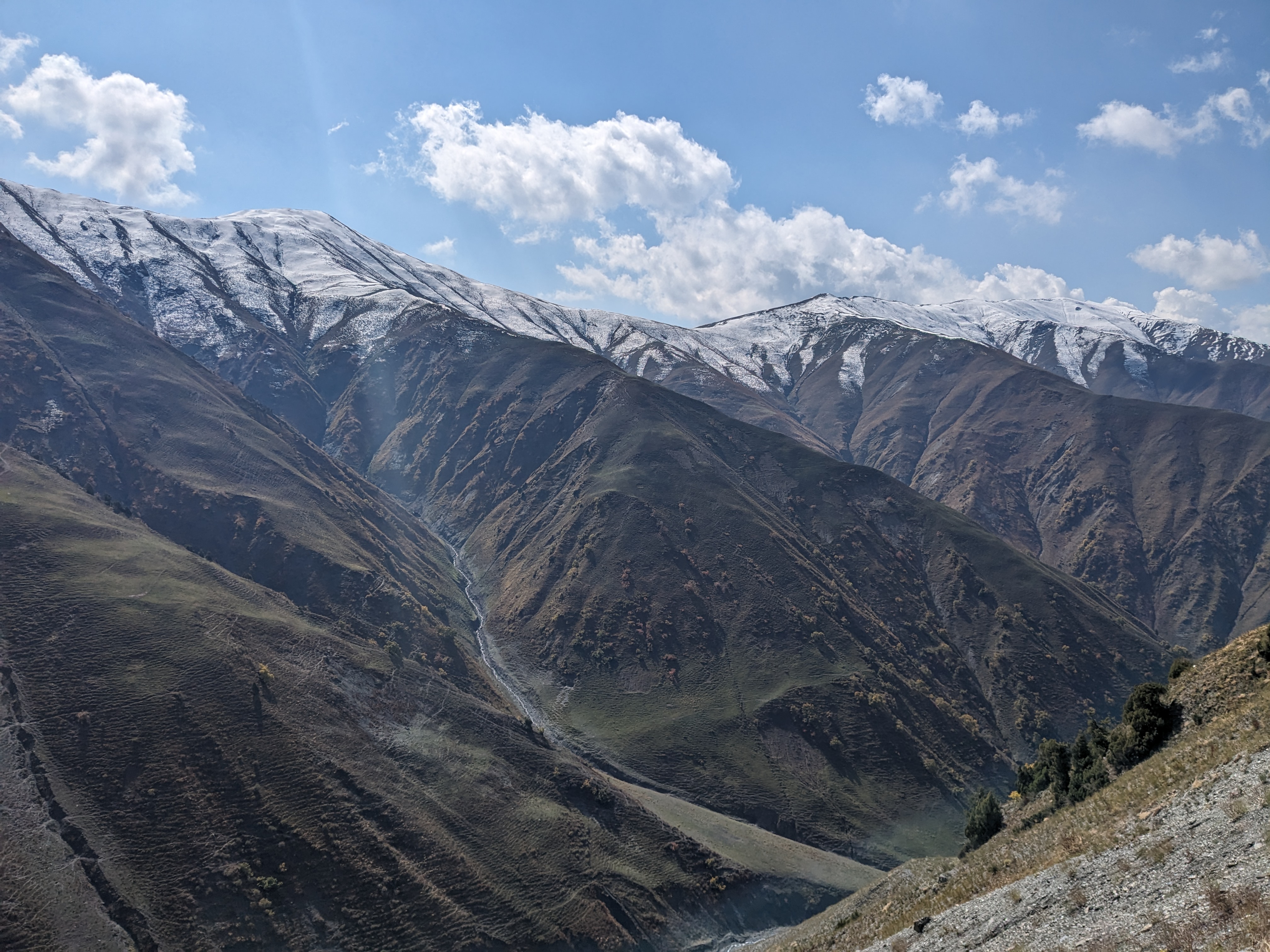
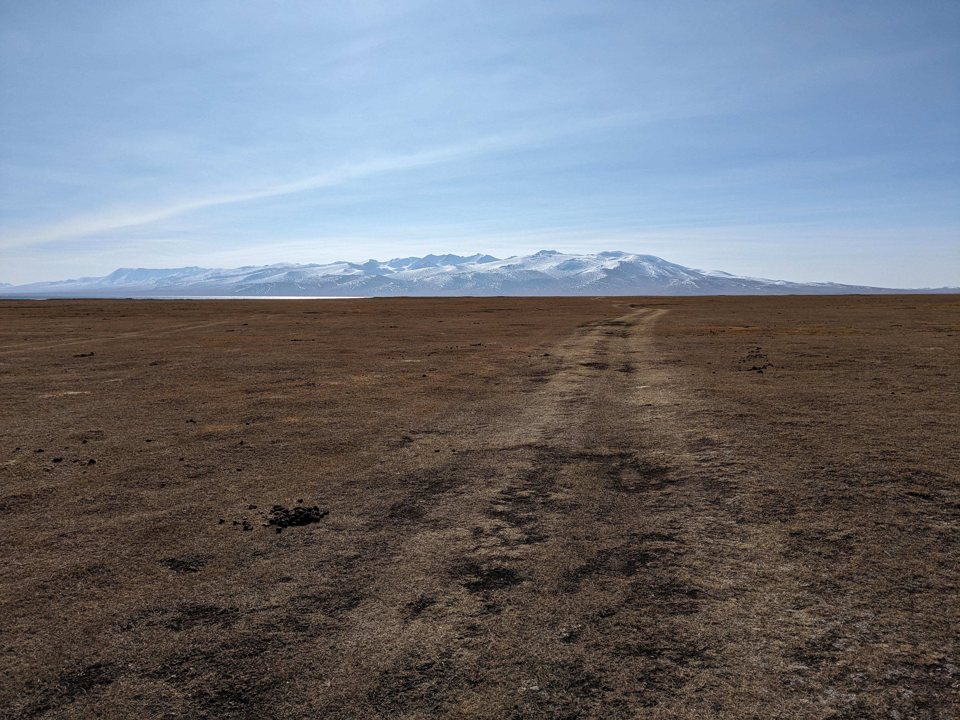
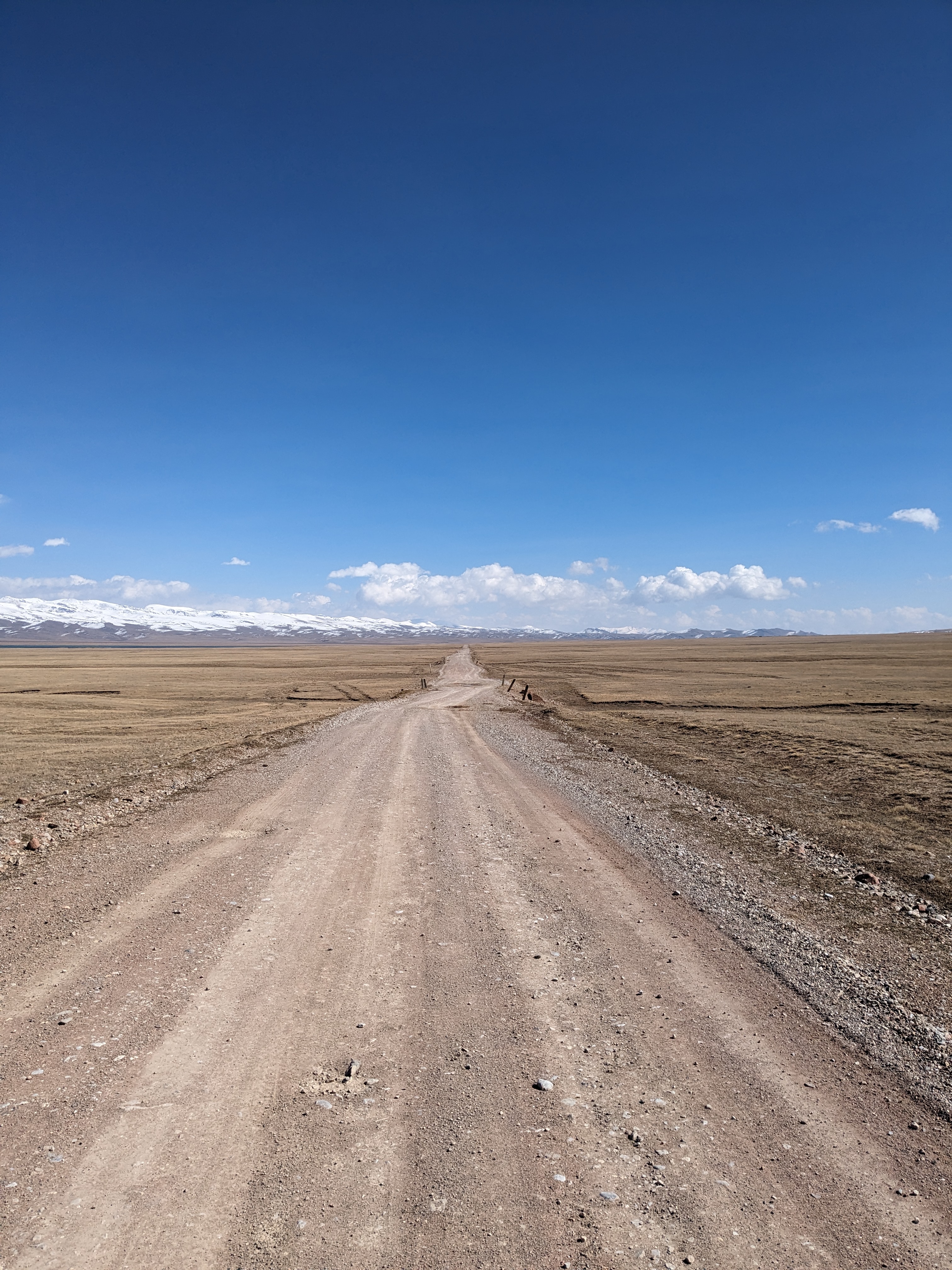
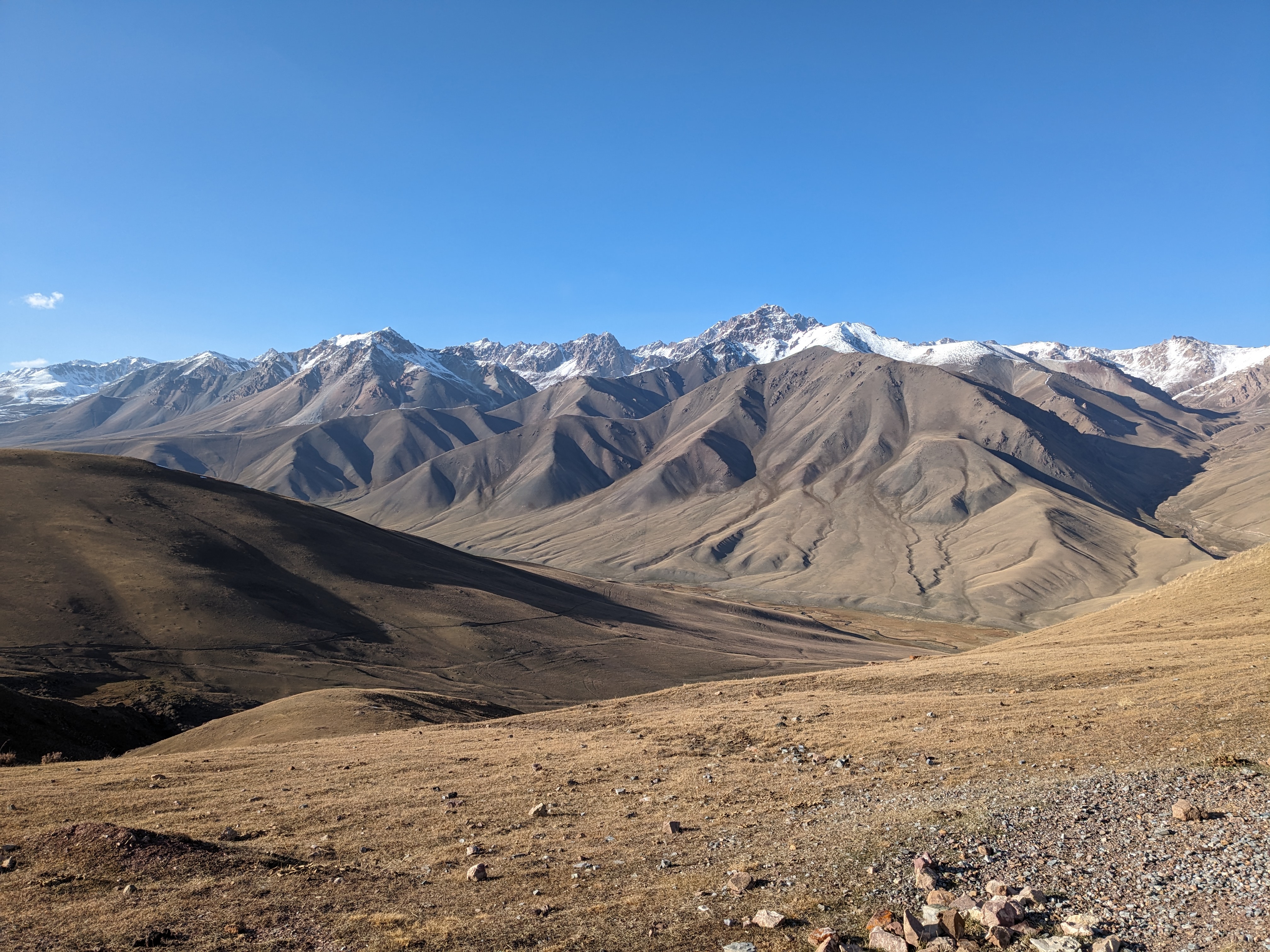
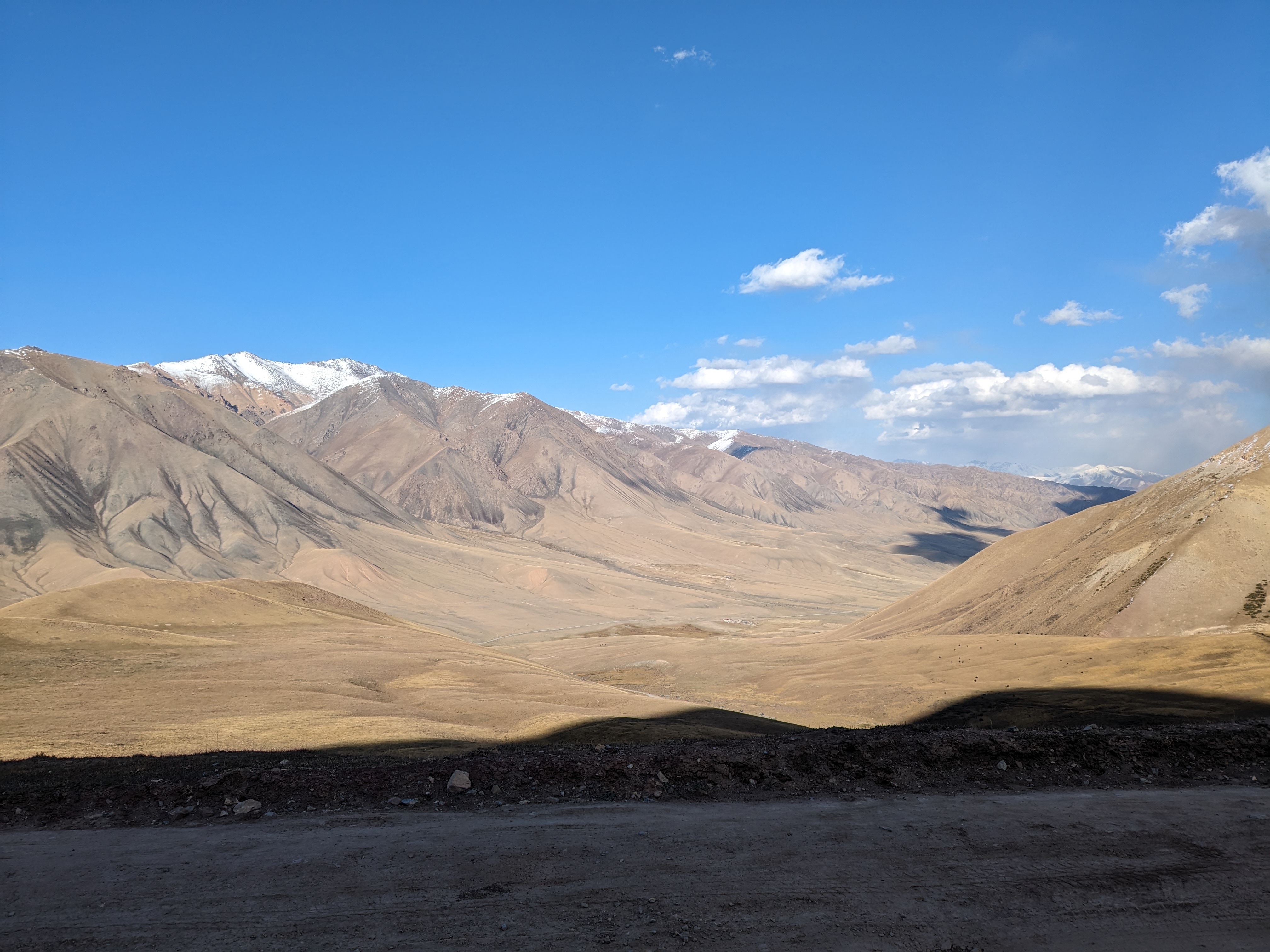
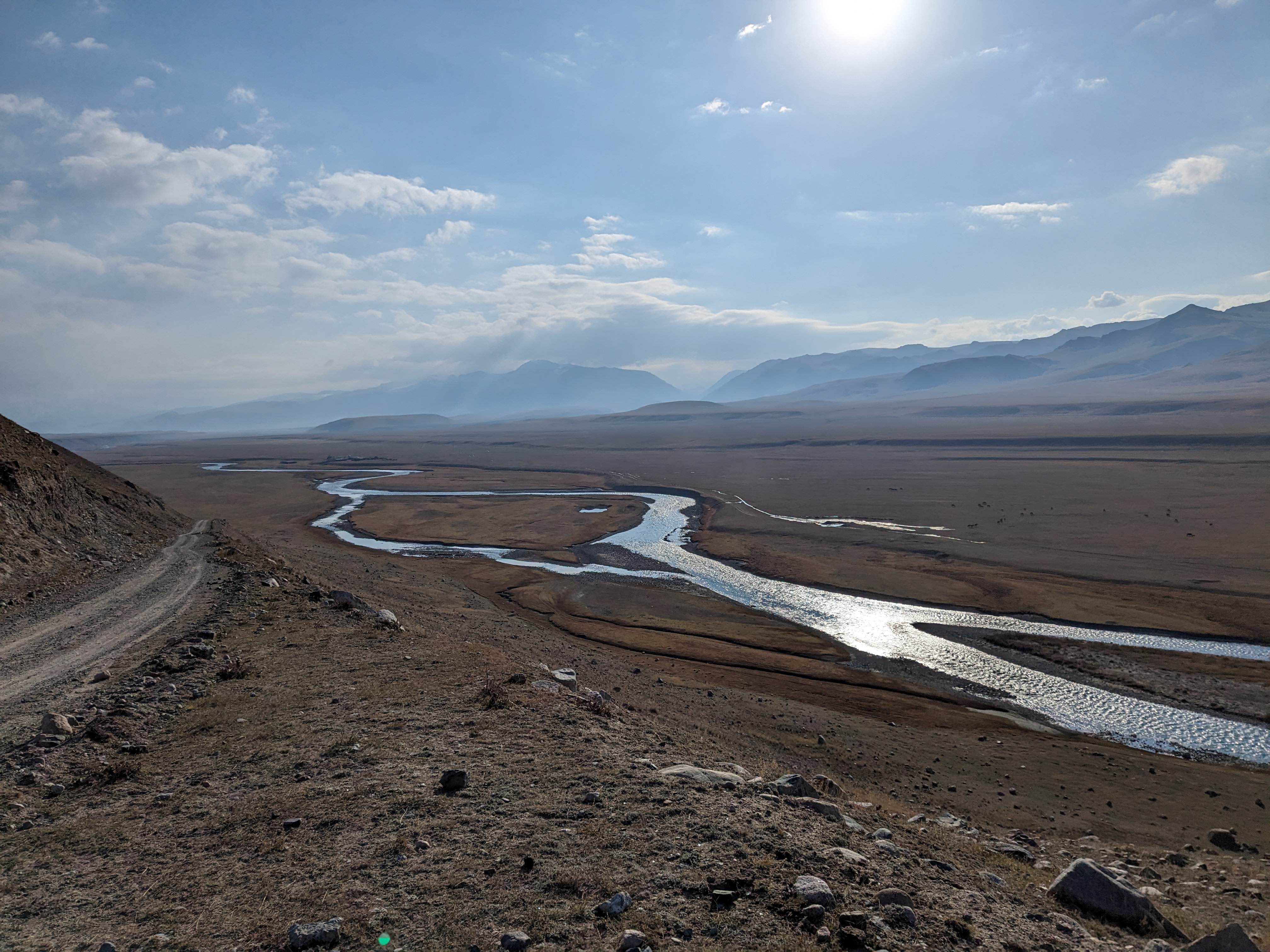
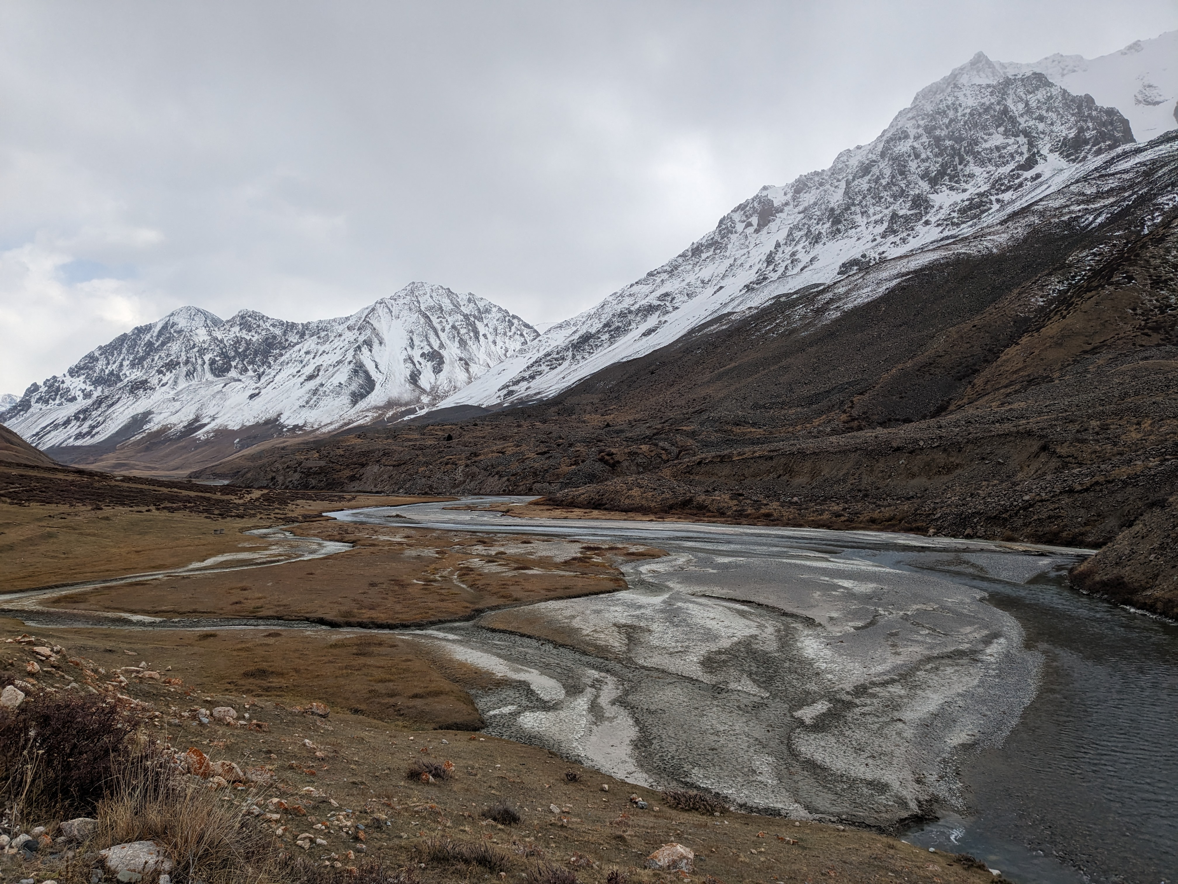
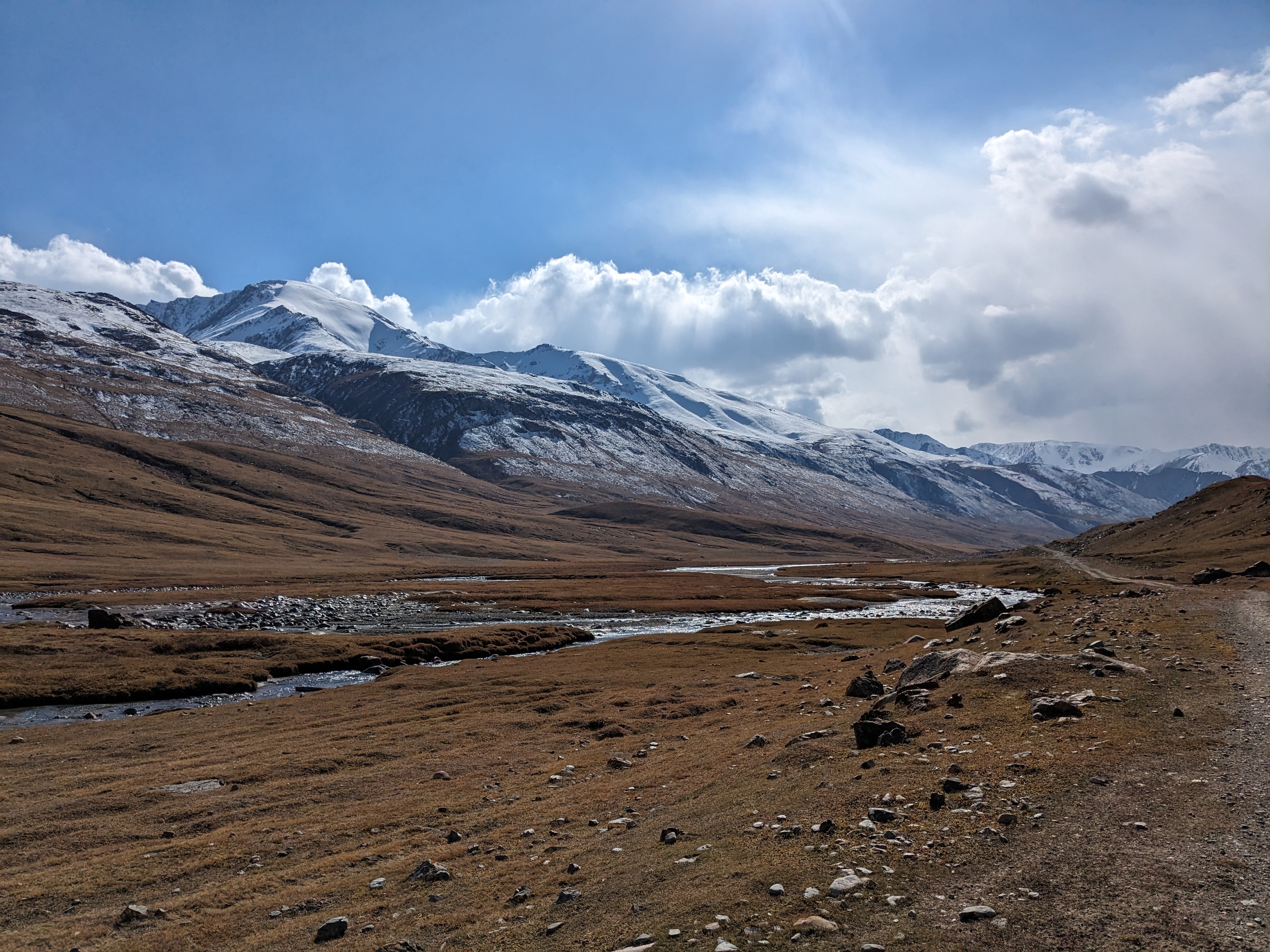
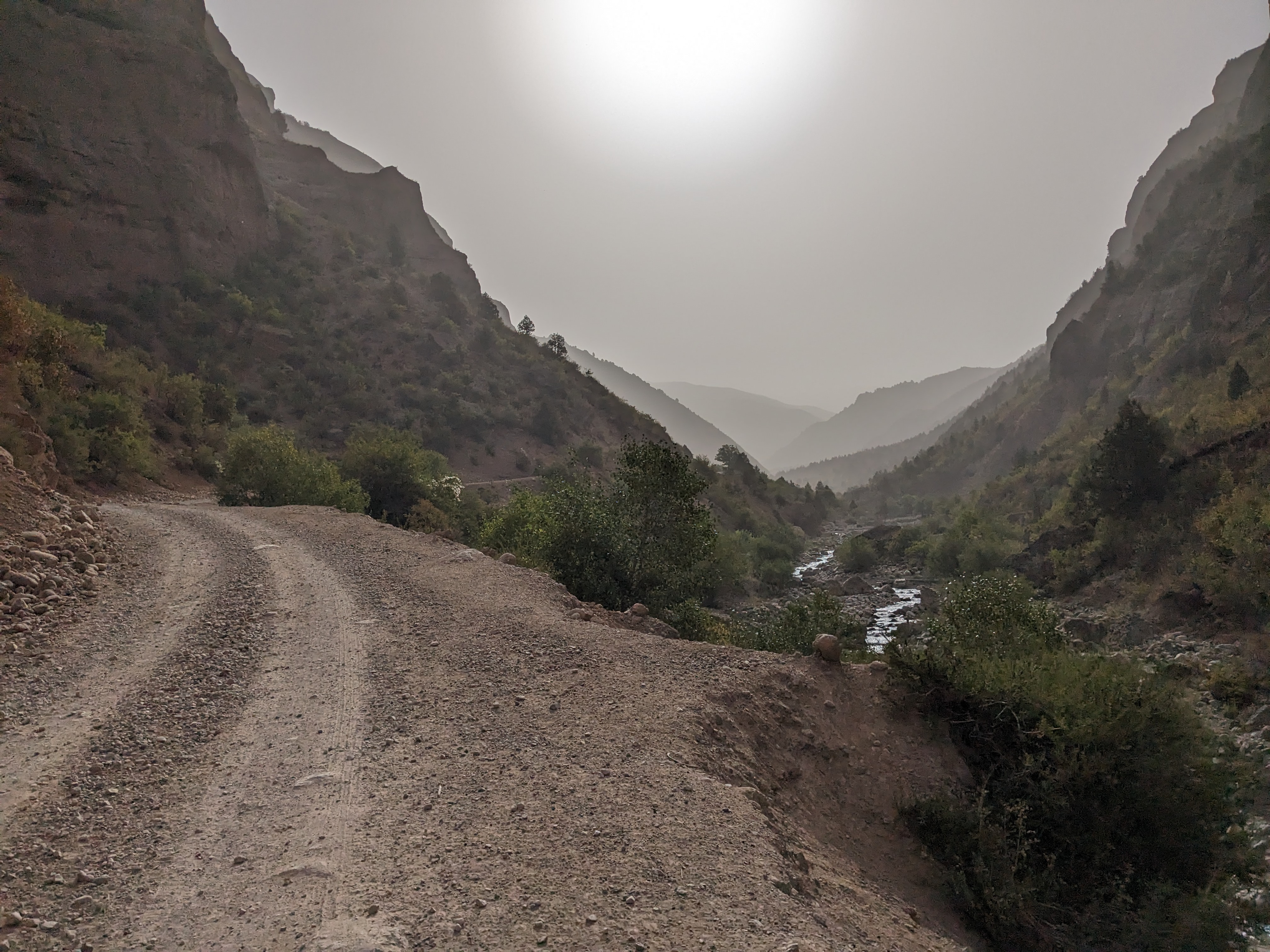
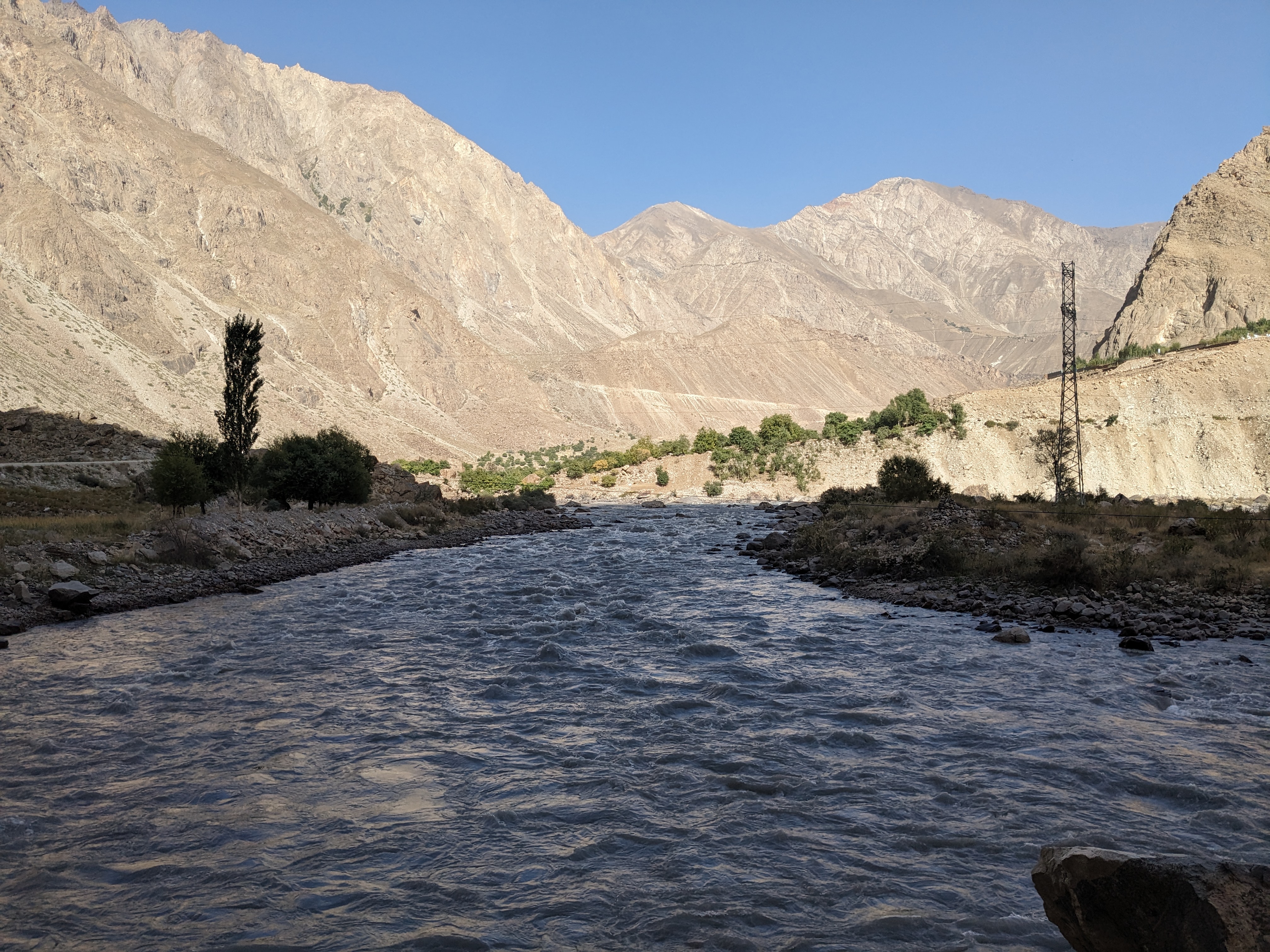
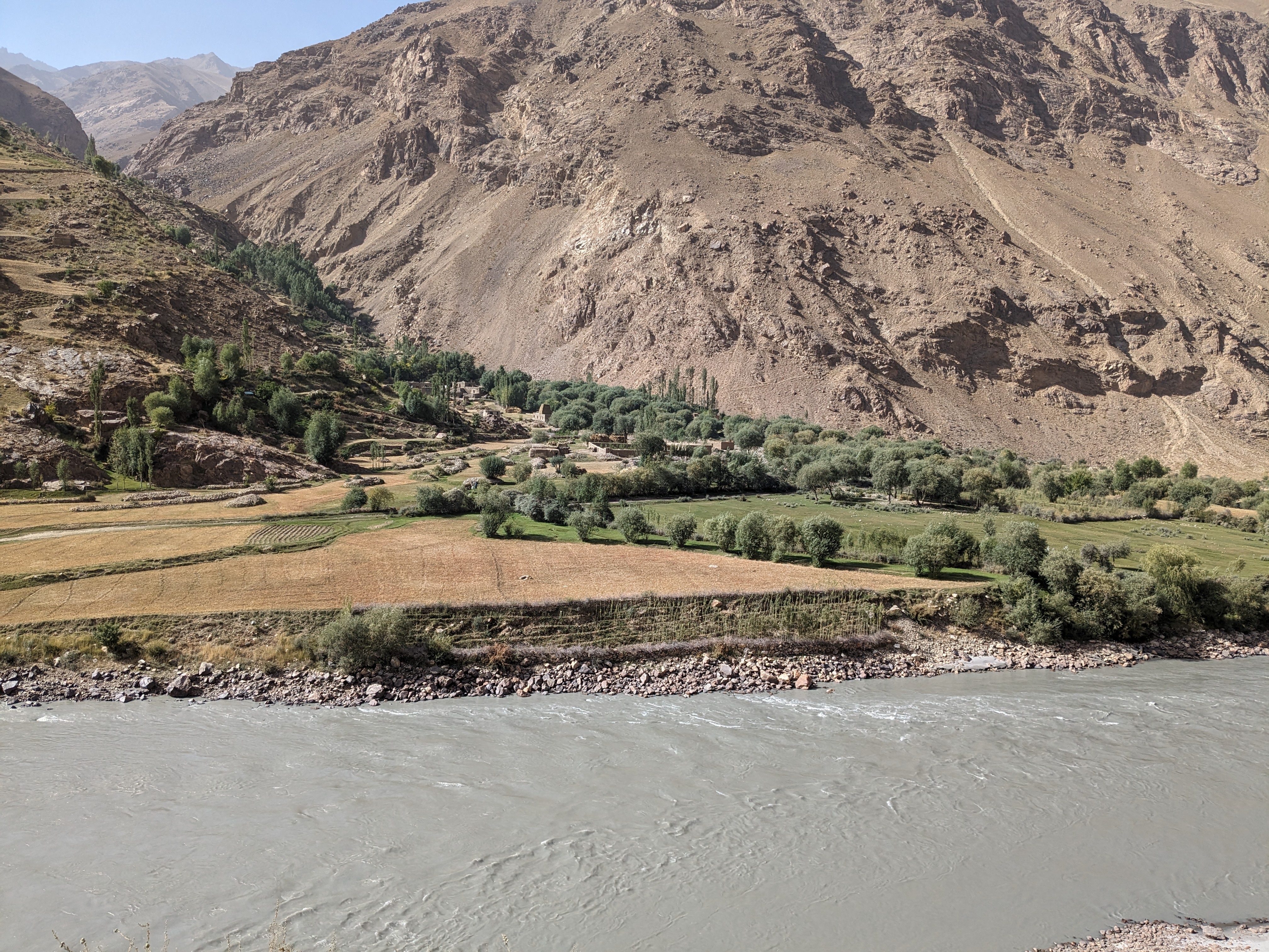
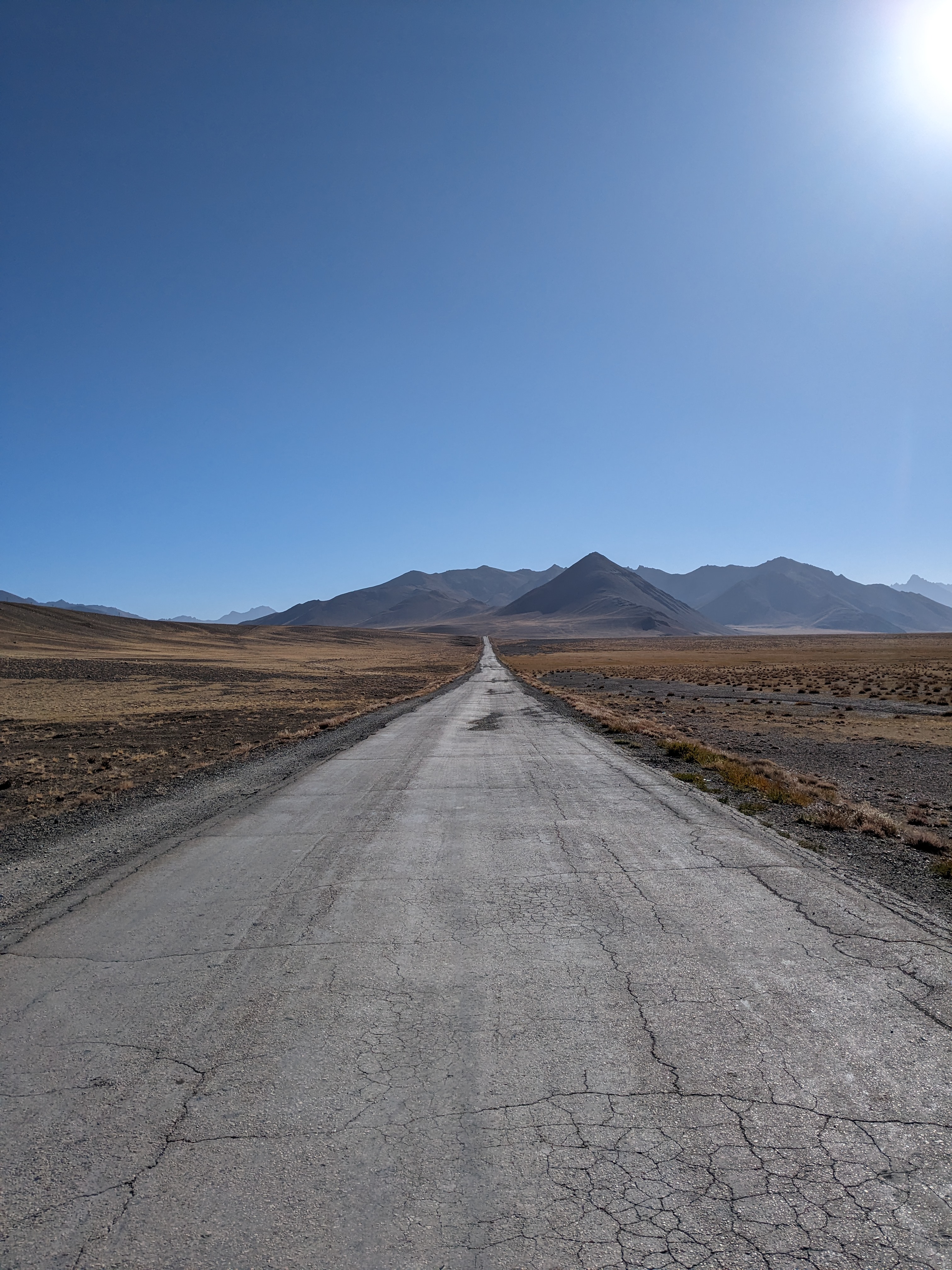
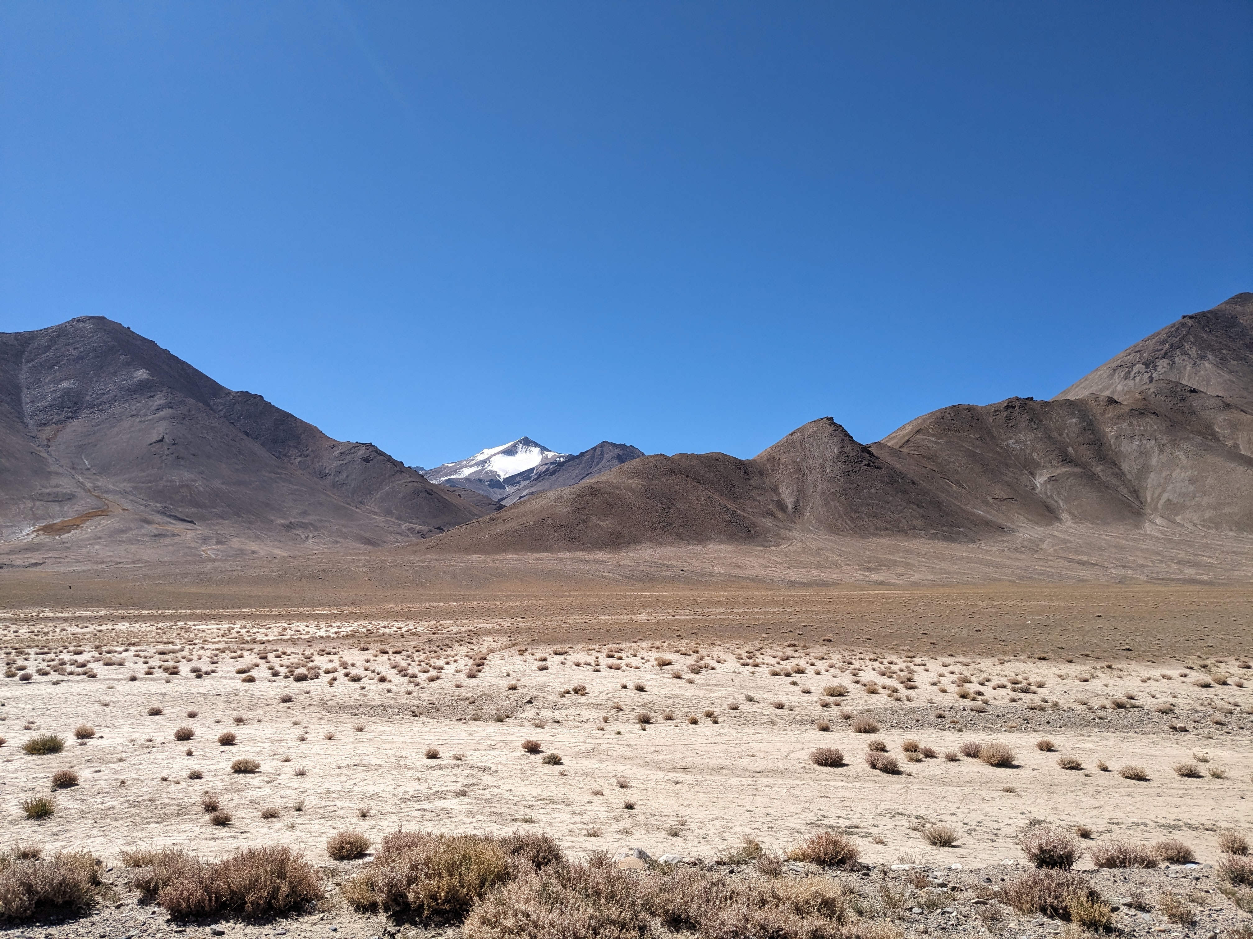
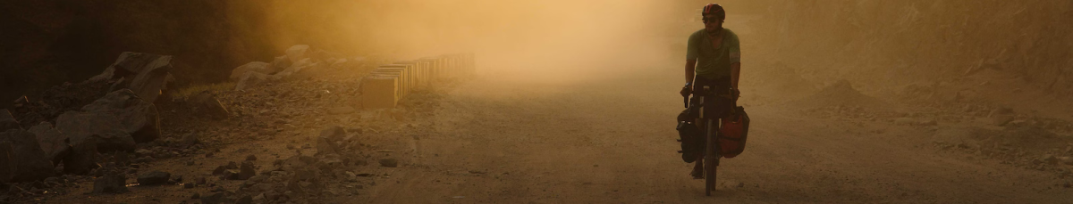
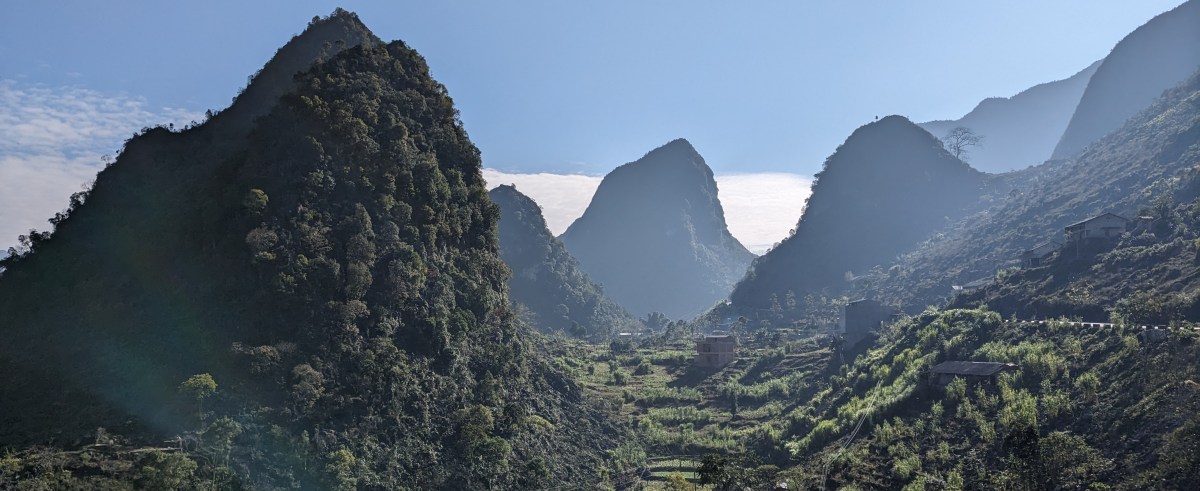
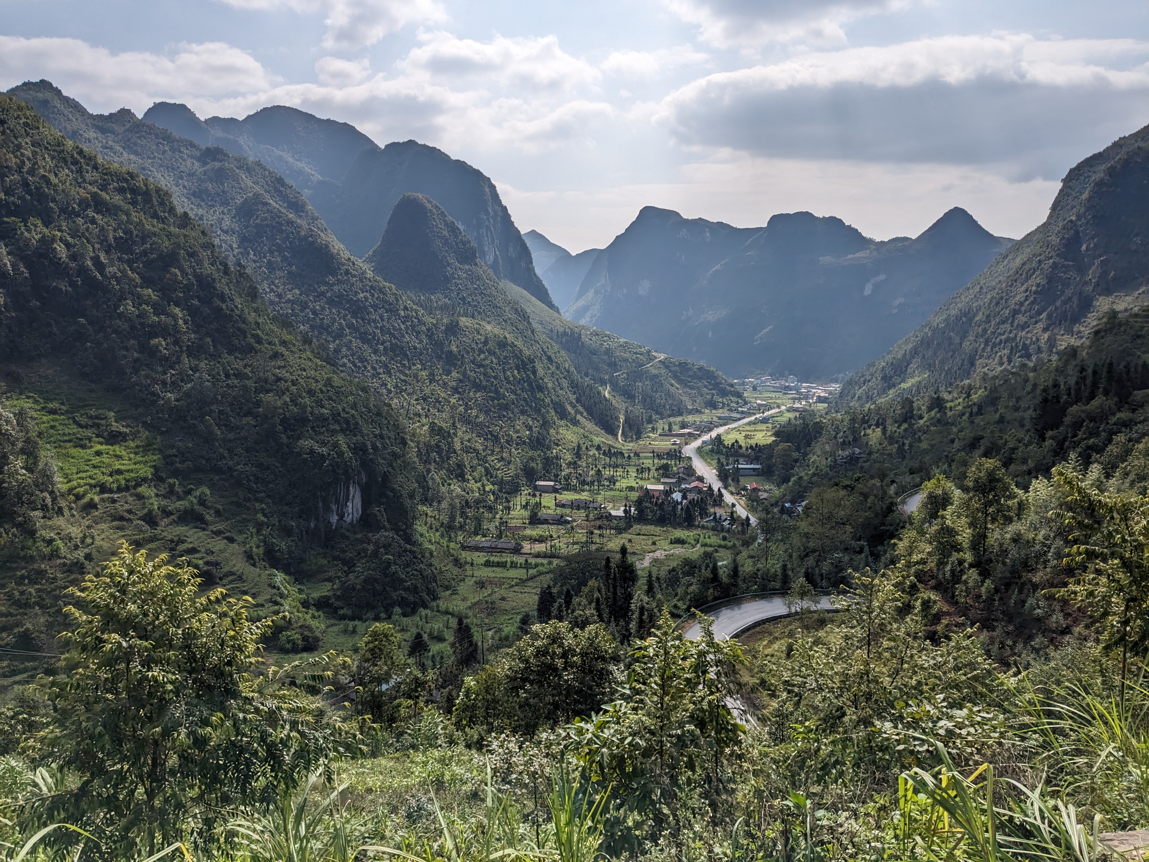
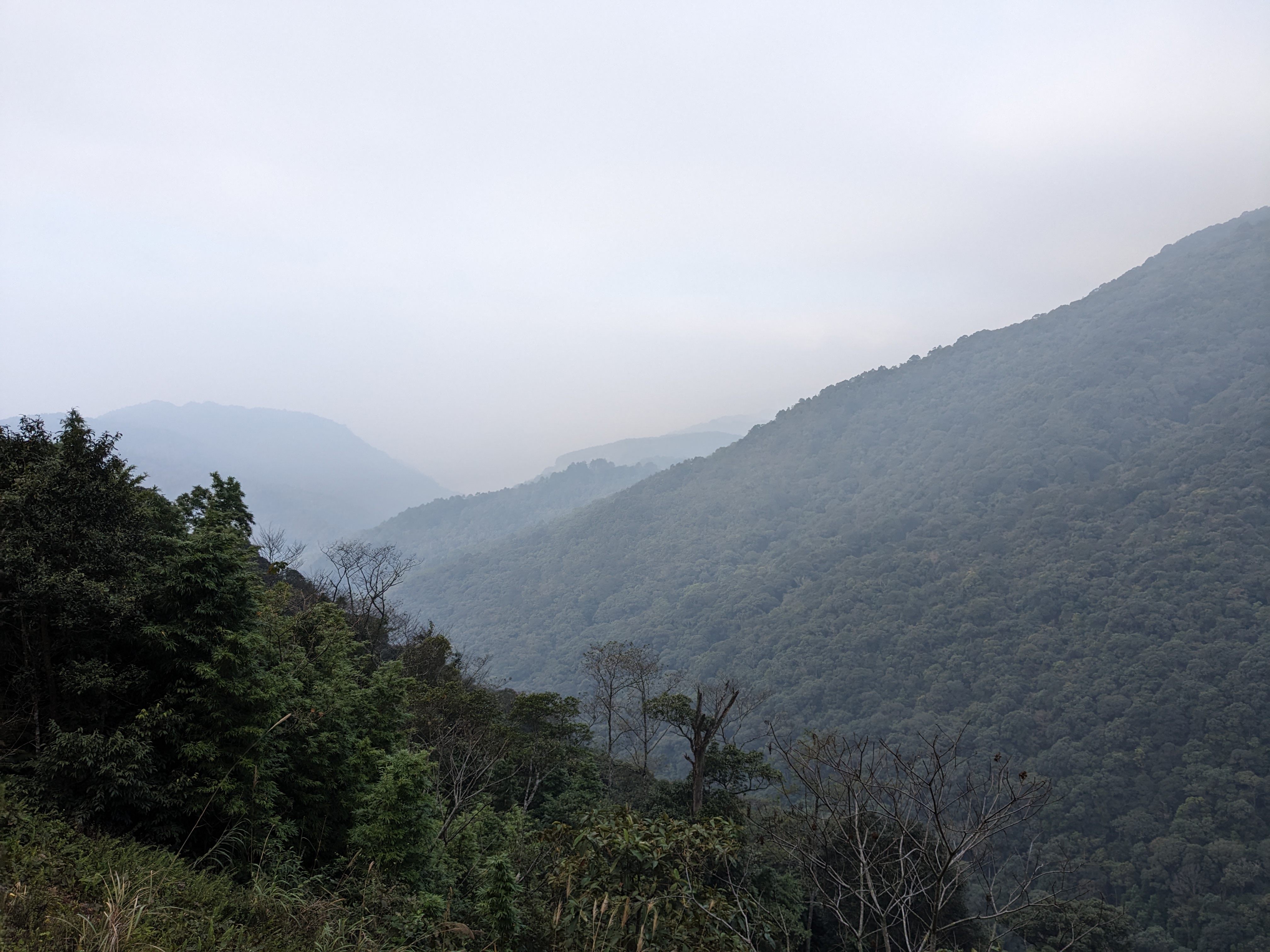
Finally, the cloud cover disappeared the next day revealing amazing landscapes of the valleys full of rice fields and tea plantations. After 6 grey days, I was beginning to really struggle and wonder how I ever made it through 22 British winters. The roads was incredible too, weaving up the valleys and cutting along the mountain sides. Despite the challenging cycling, I was loving it.

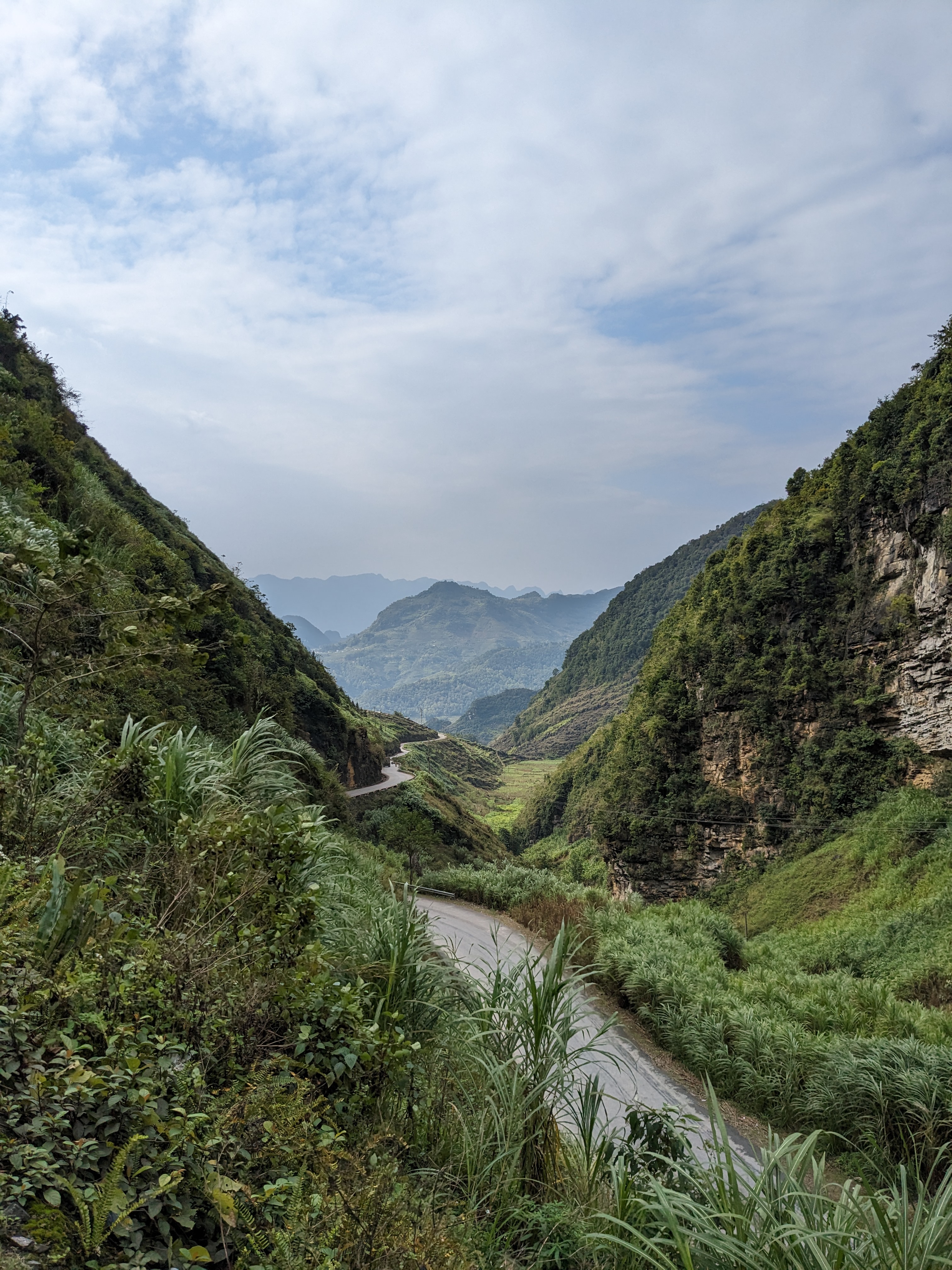
I found another good camp spot amidst the jungle and had a big climb the next morning up an inspiring mountain pass. The shape of the mountains rising up from the valley were so different to anything I’ve seen before.

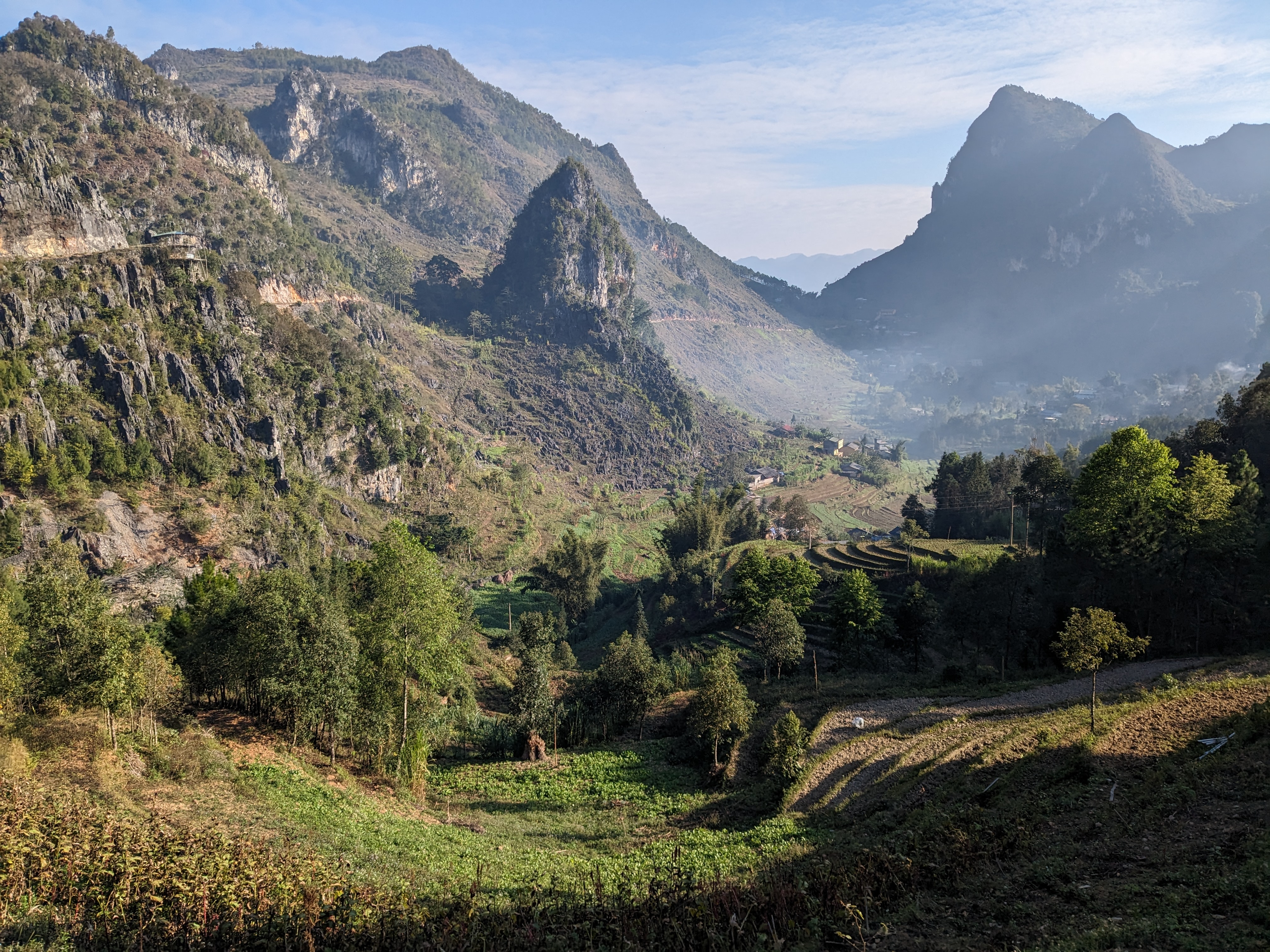
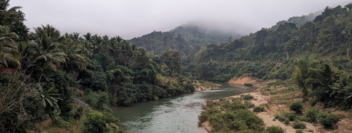
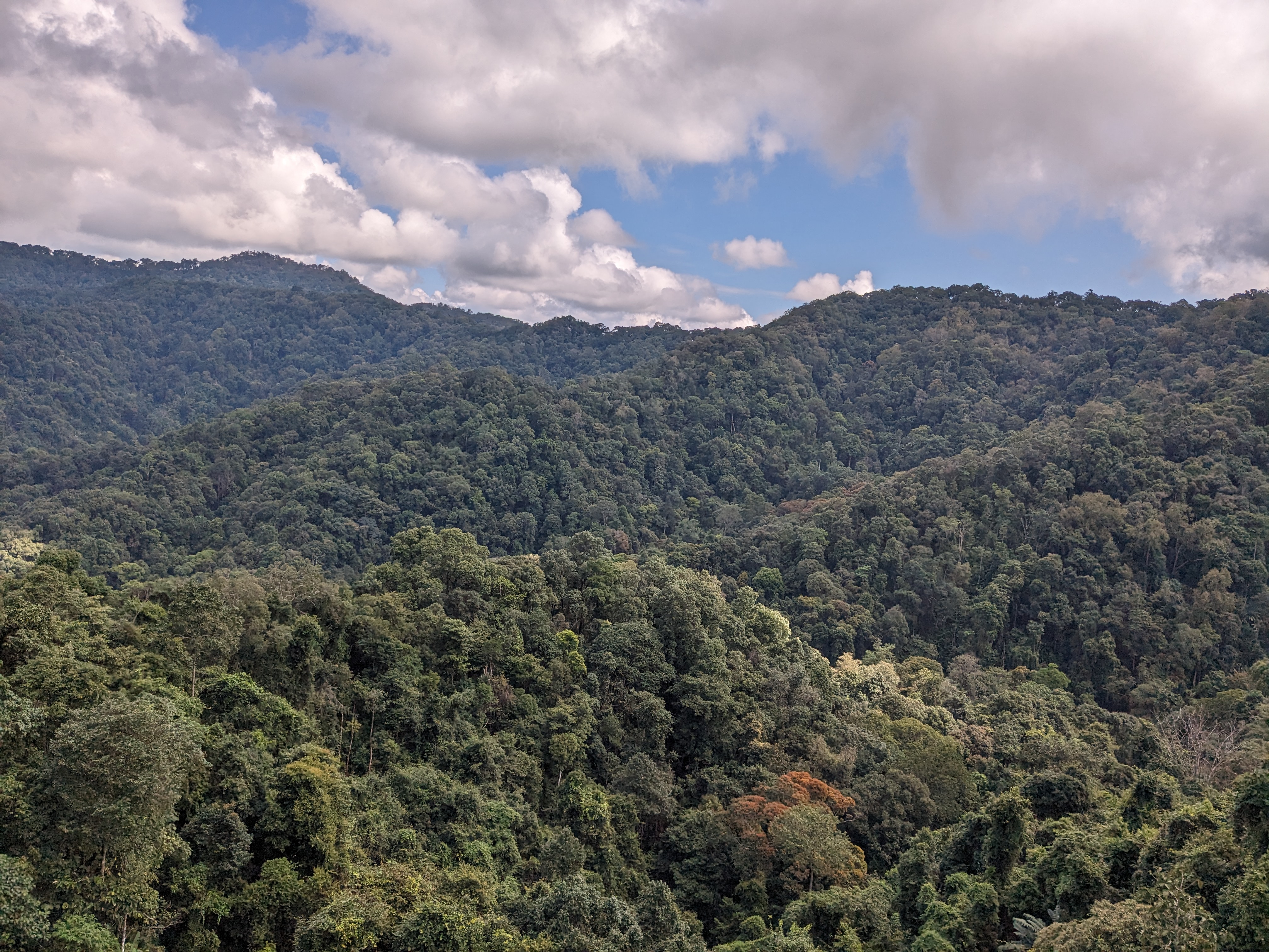
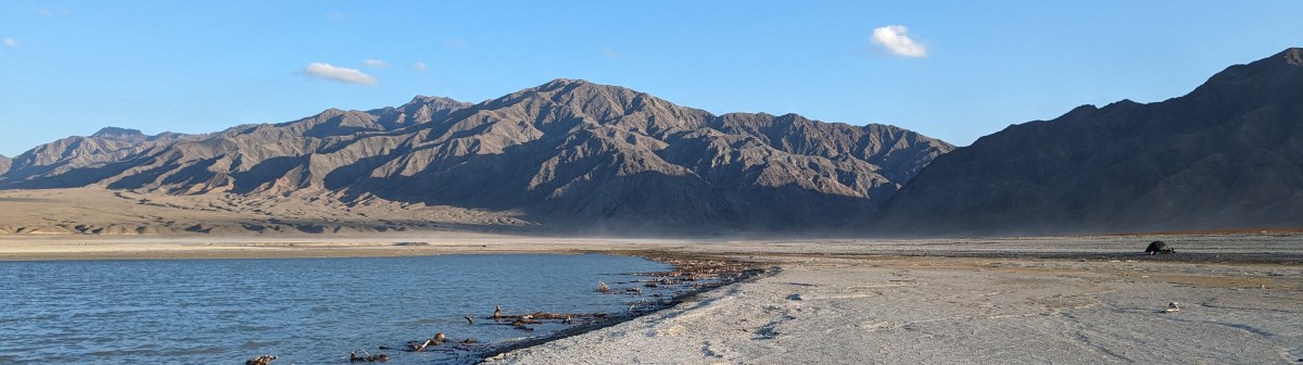
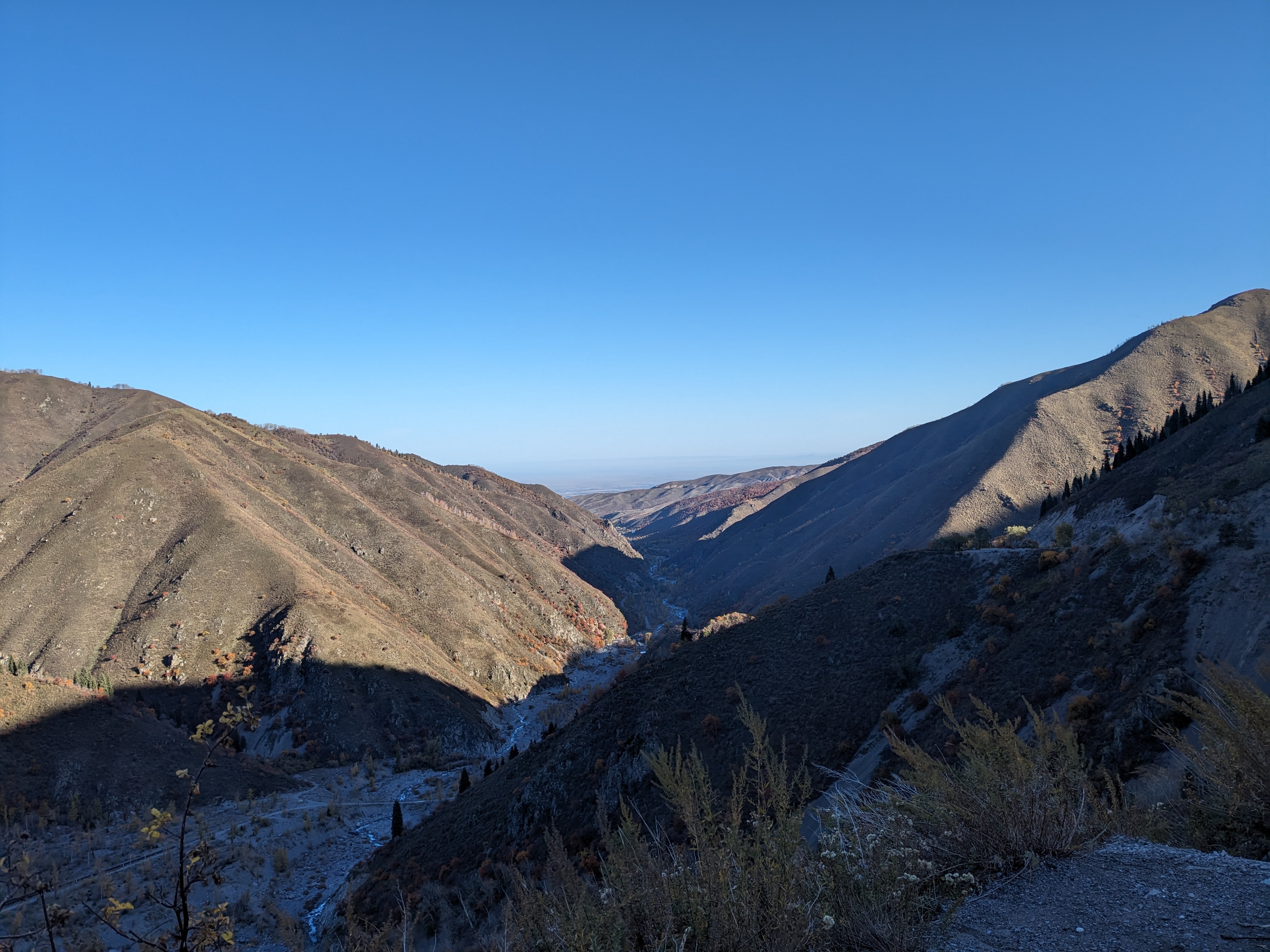
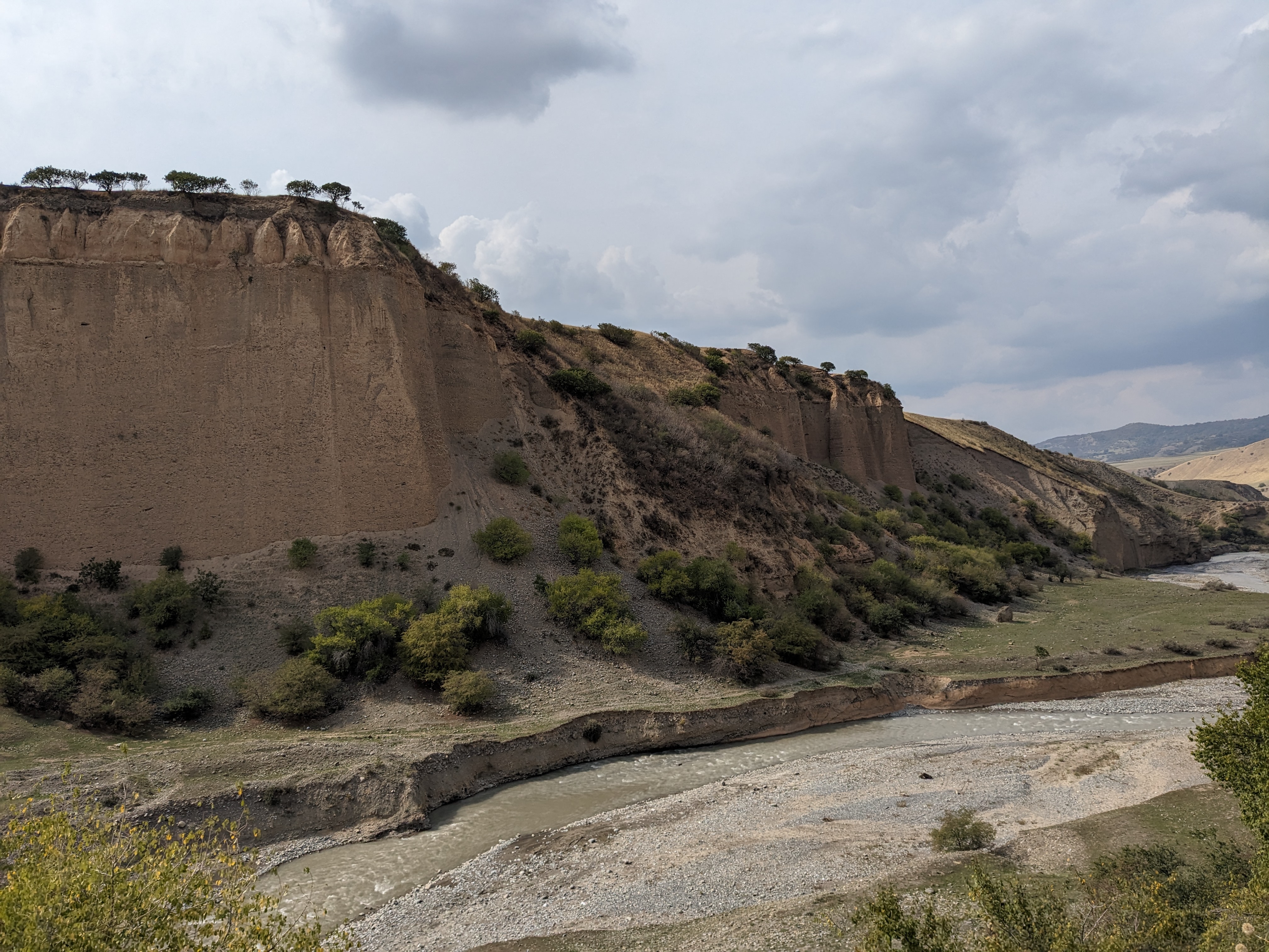
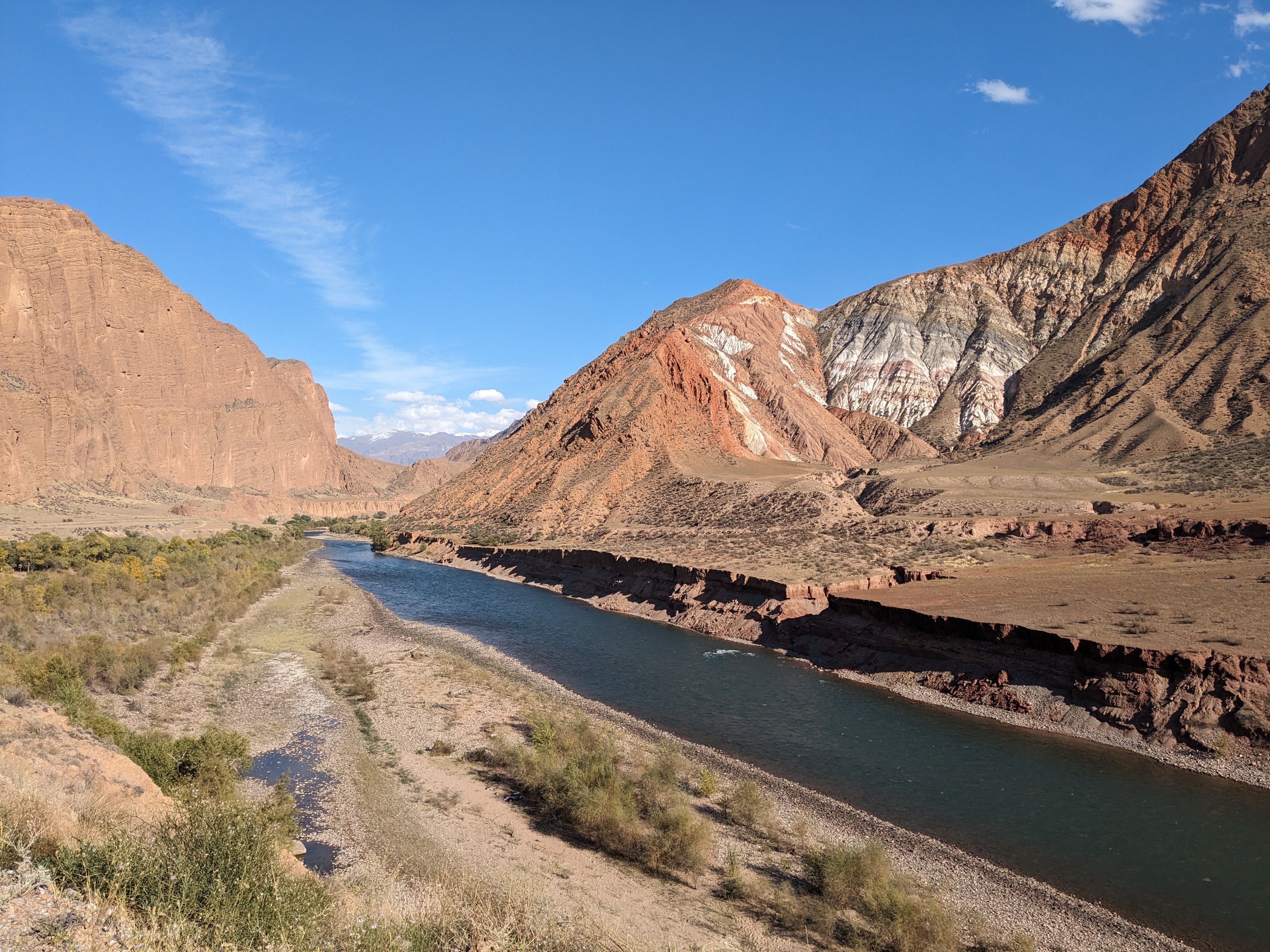
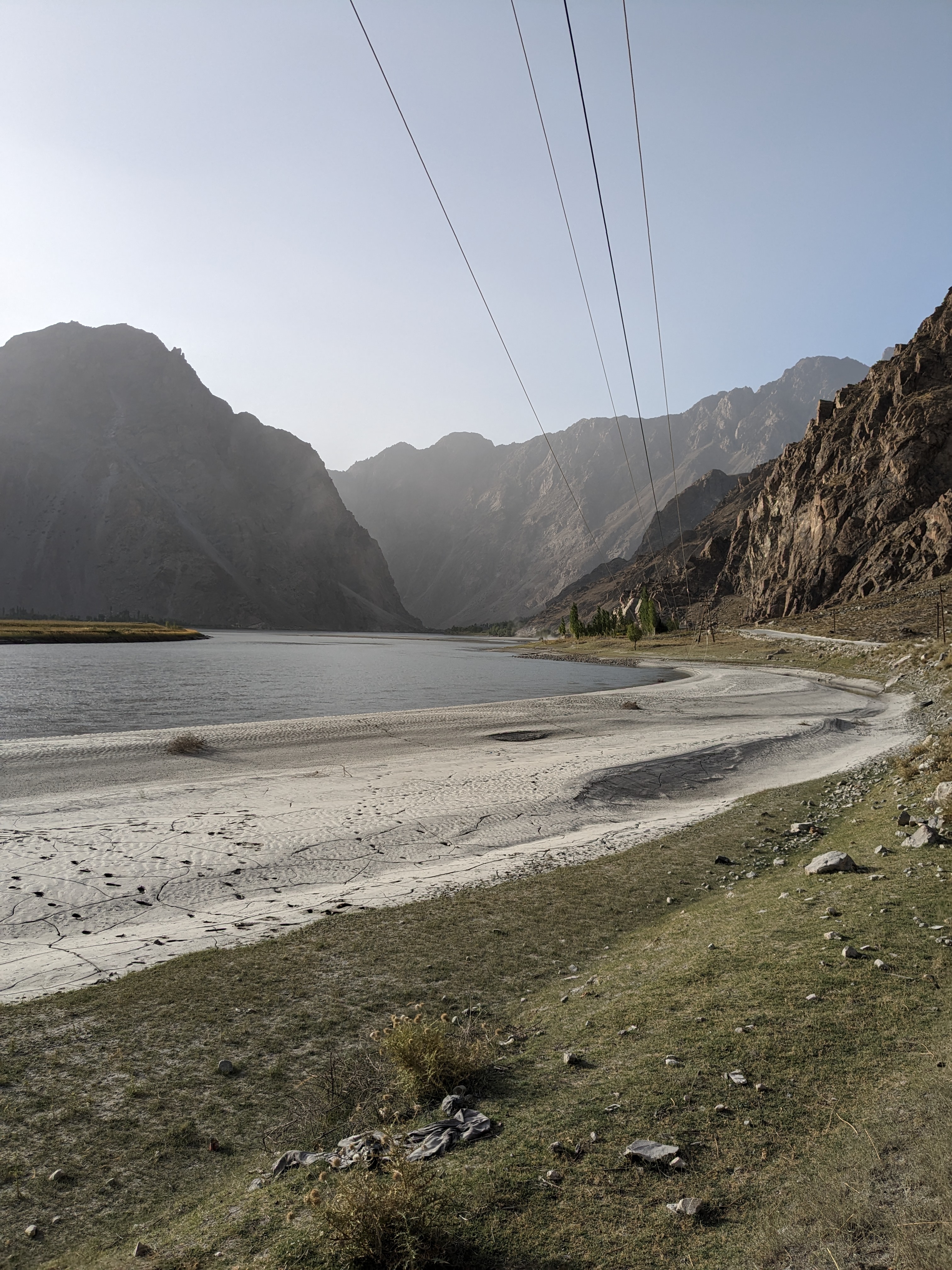
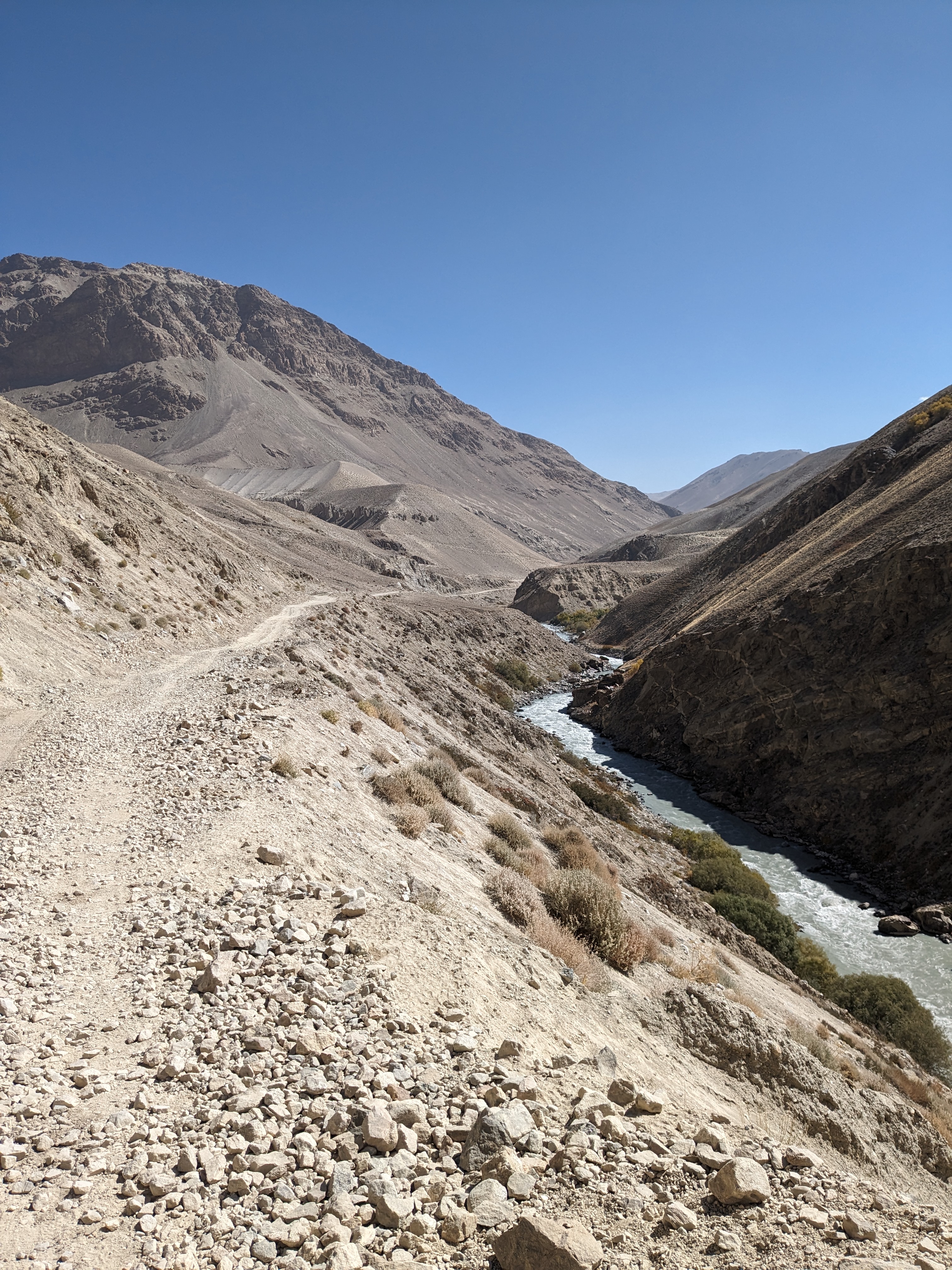
At the top I was greeted to one of the best views I’ve ever seen. It was a huge panorama and looking down at how the river cut through the rock was mesmerizing. It was also one of the few places I’ve been where I could truly feel how high up I was, maybe because of the huge drop off the edge or the sight of the tiny boats on the river.

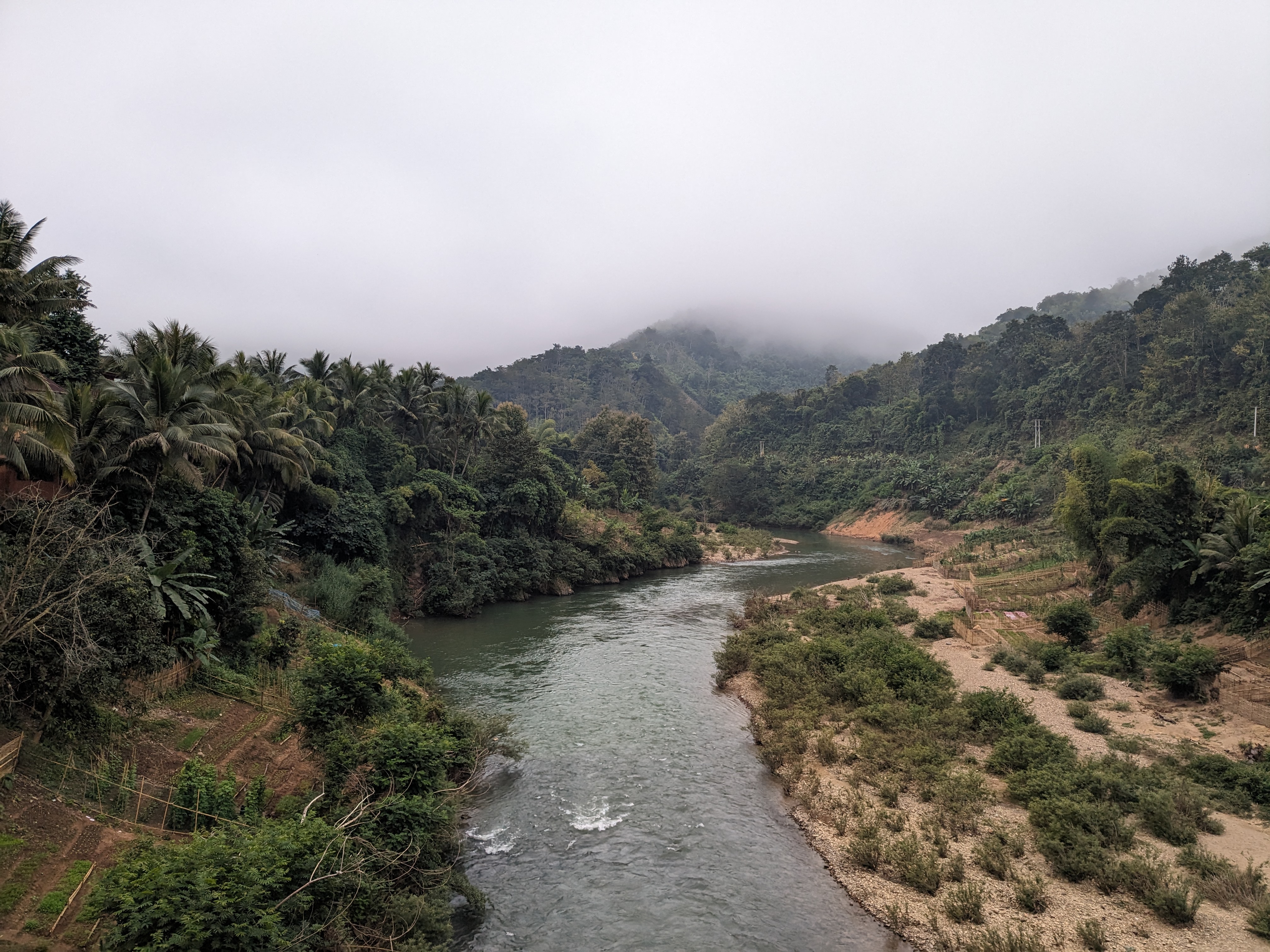
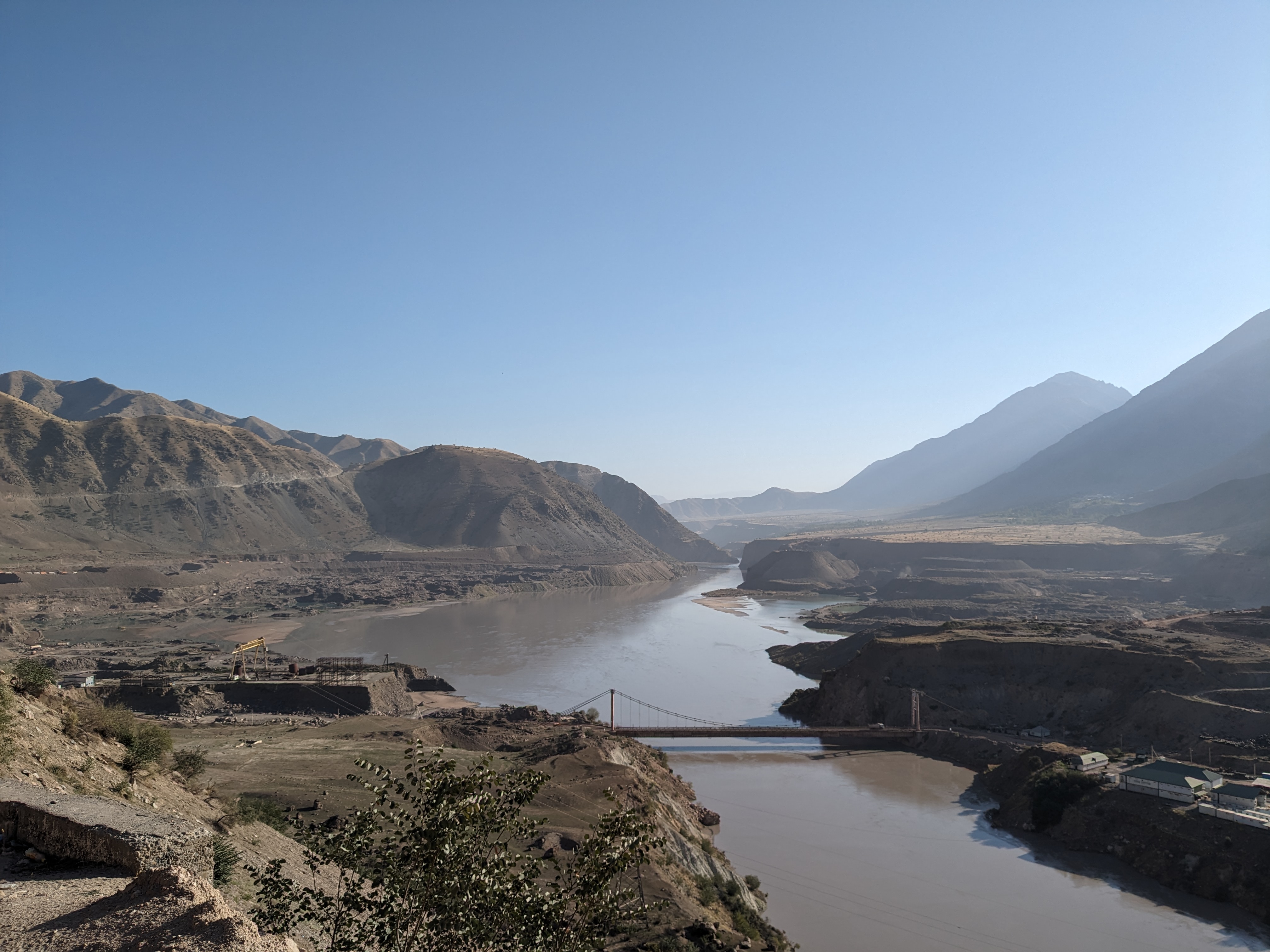
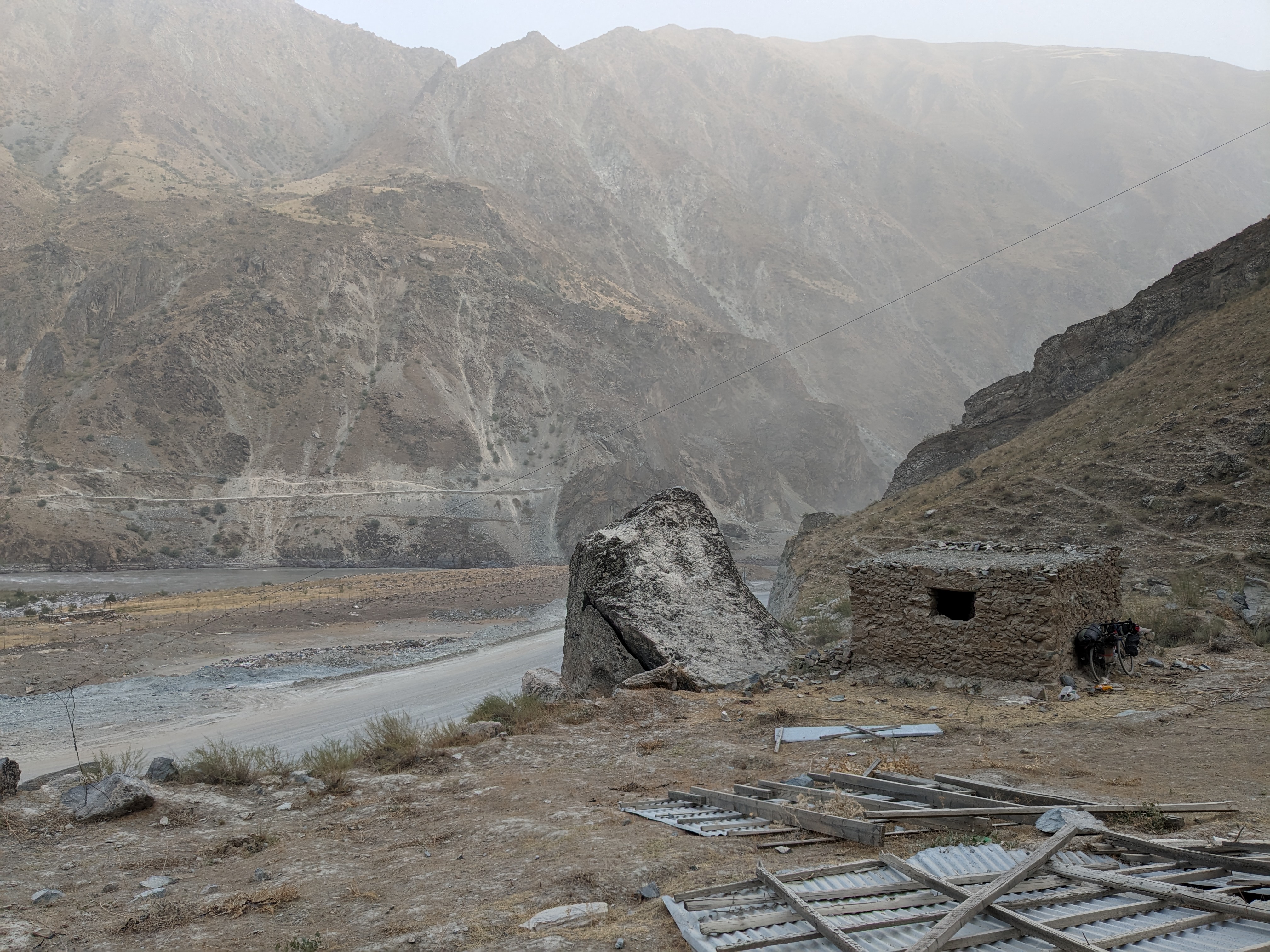
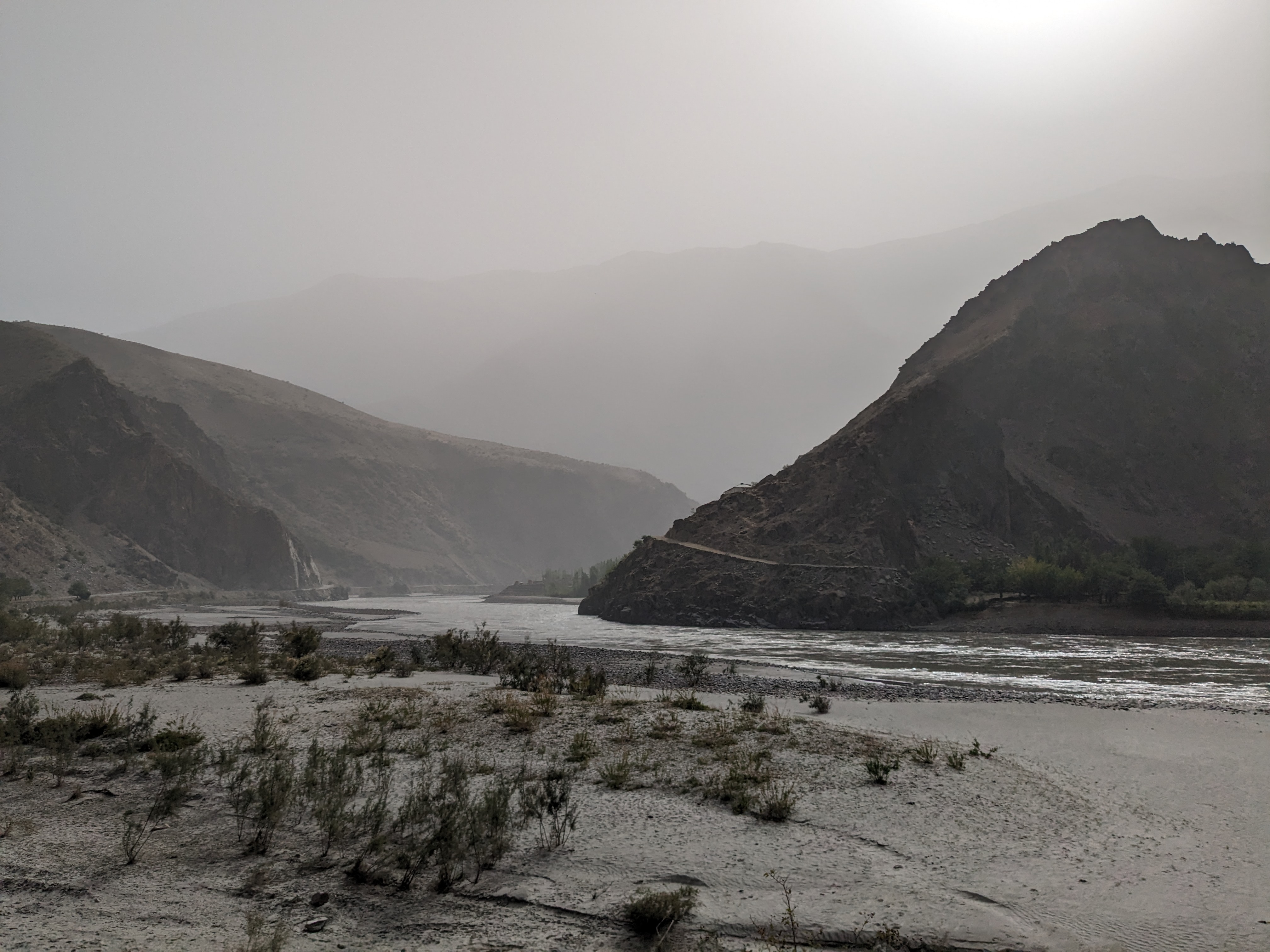
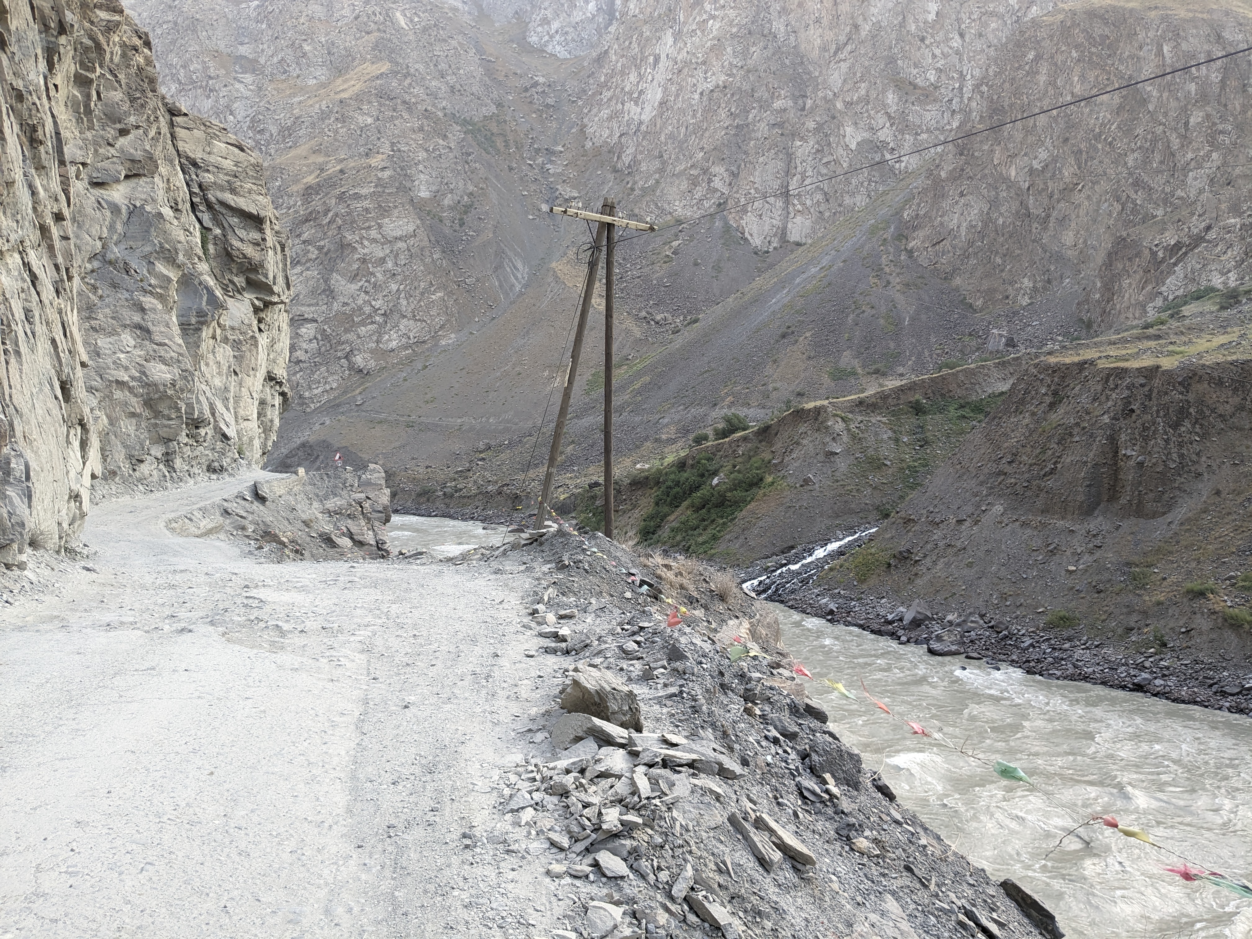
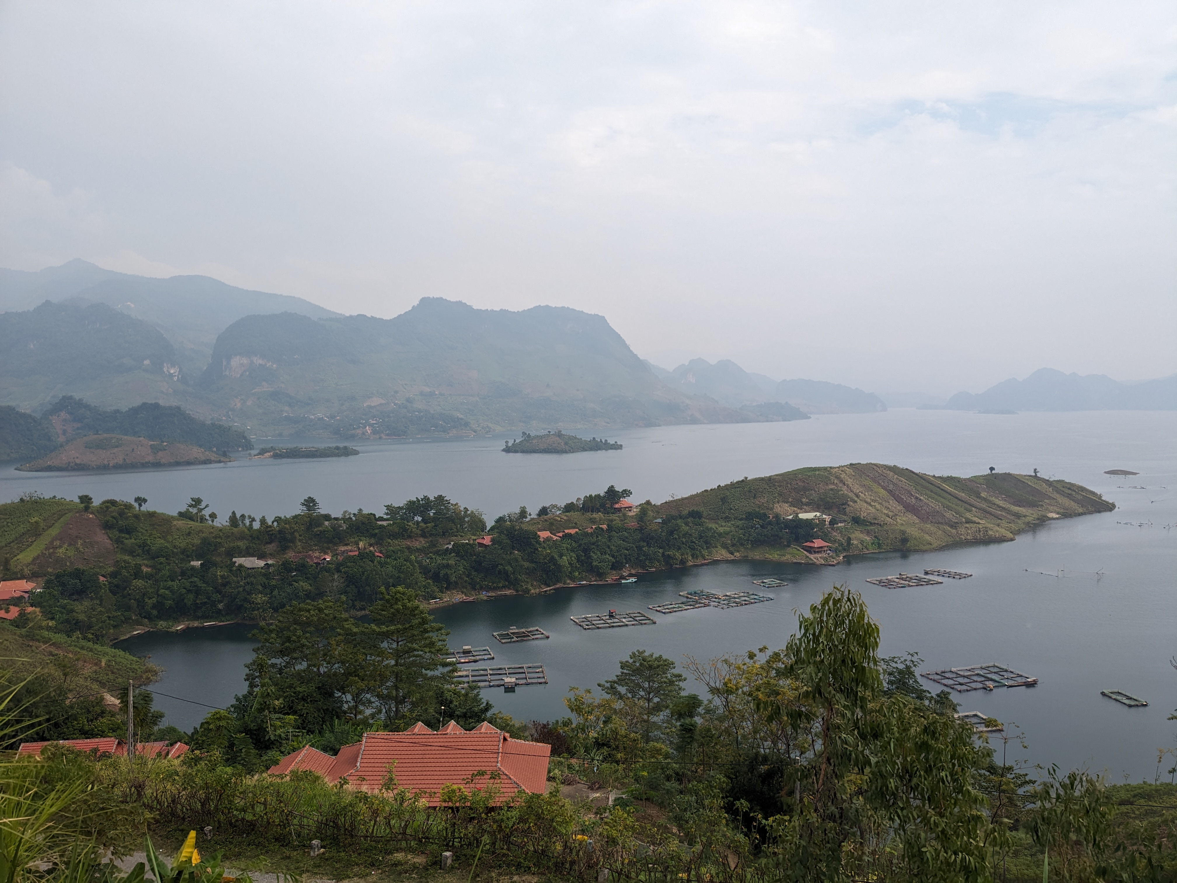
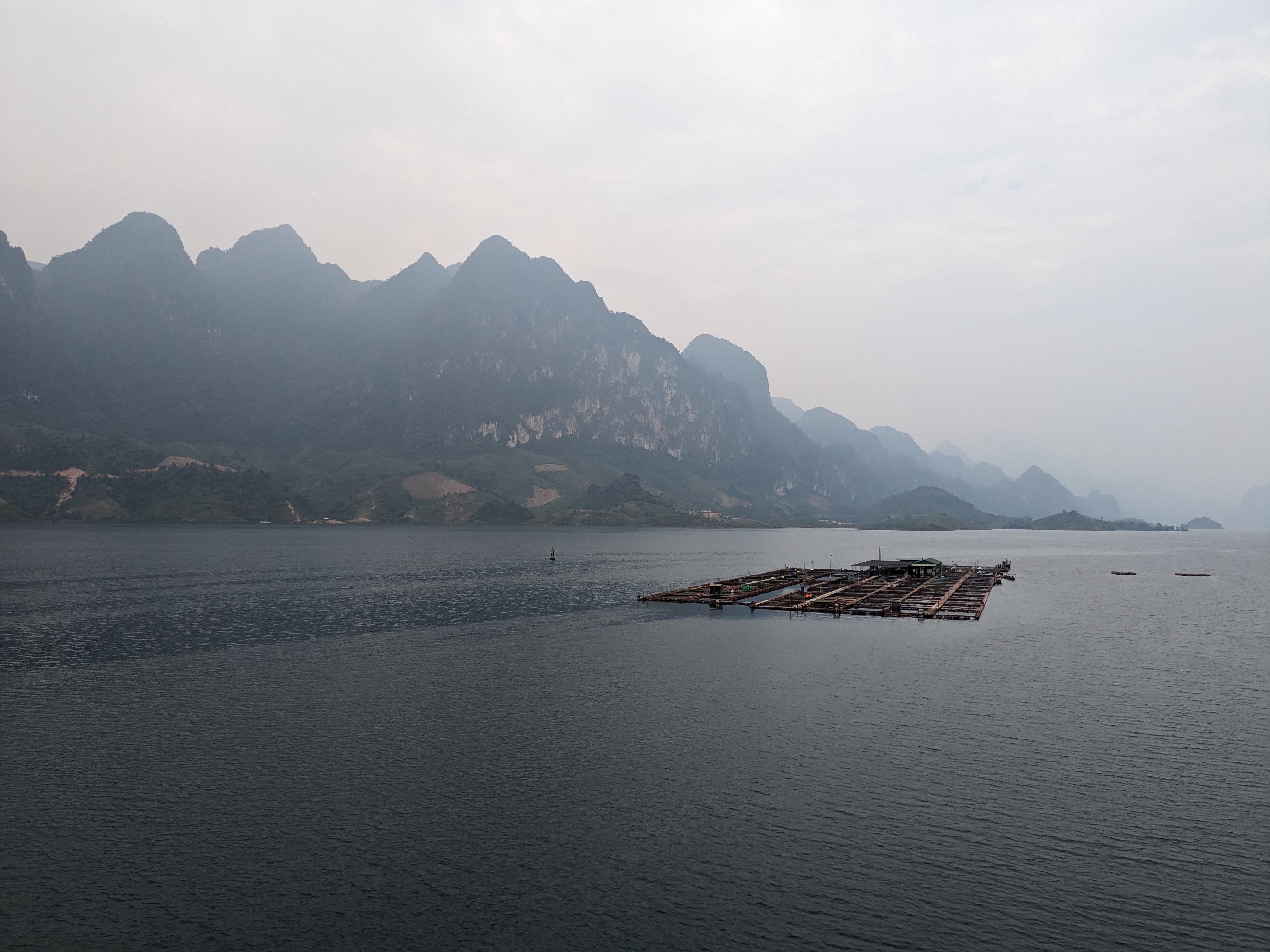
What followed was a fantastic descent navigating a thrilling road with a huge drop off the edge. I stopped on the way down to chat to Mark, an American cyclist going the other way. We chatted about how we felt we truly earnt the view and shared a laugh about the swarms of tourists on motorbikes being driven around the loop by locals. I then continued down the road leaving the loop and heading east following a river past some impressive dams.

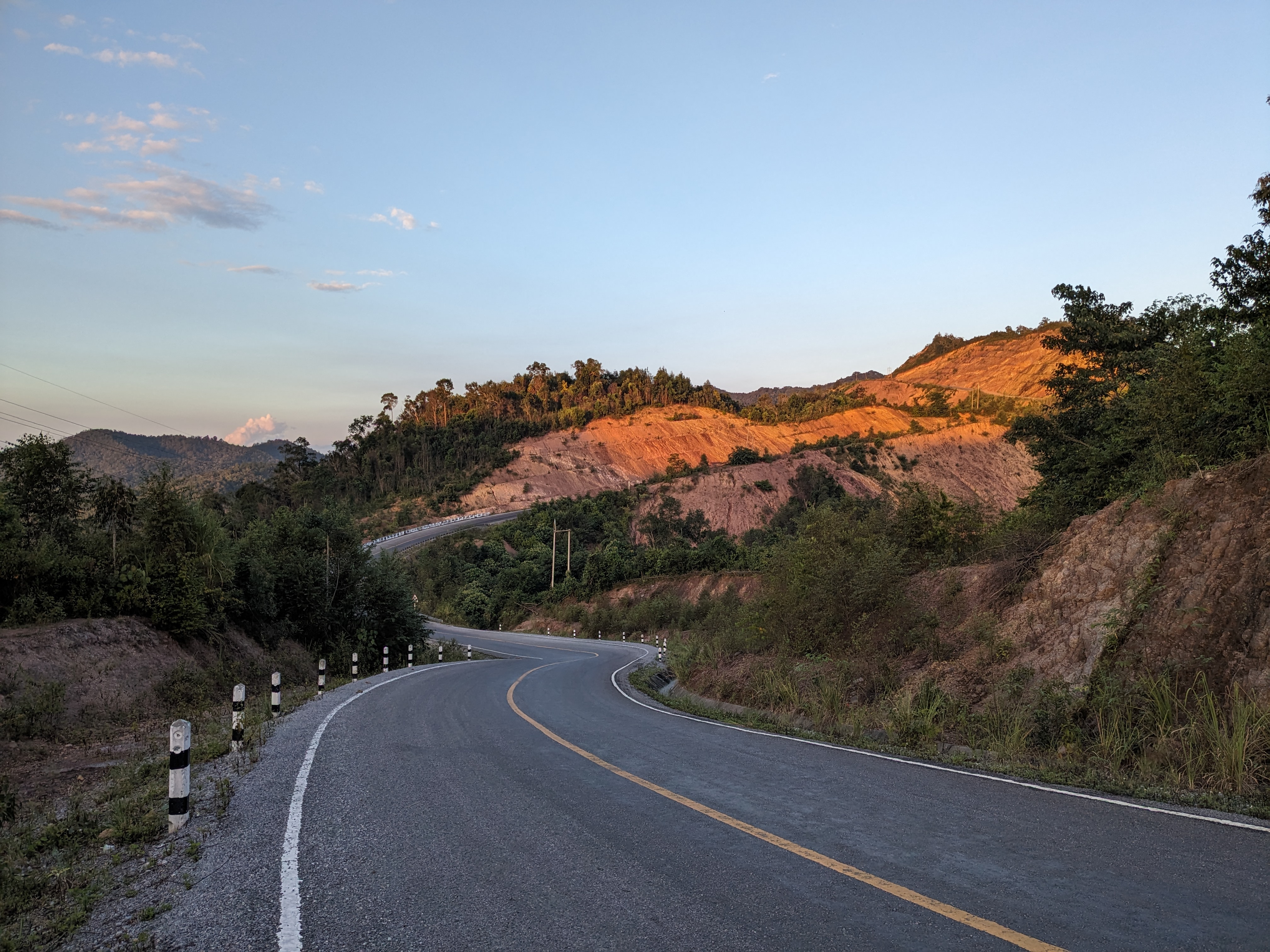
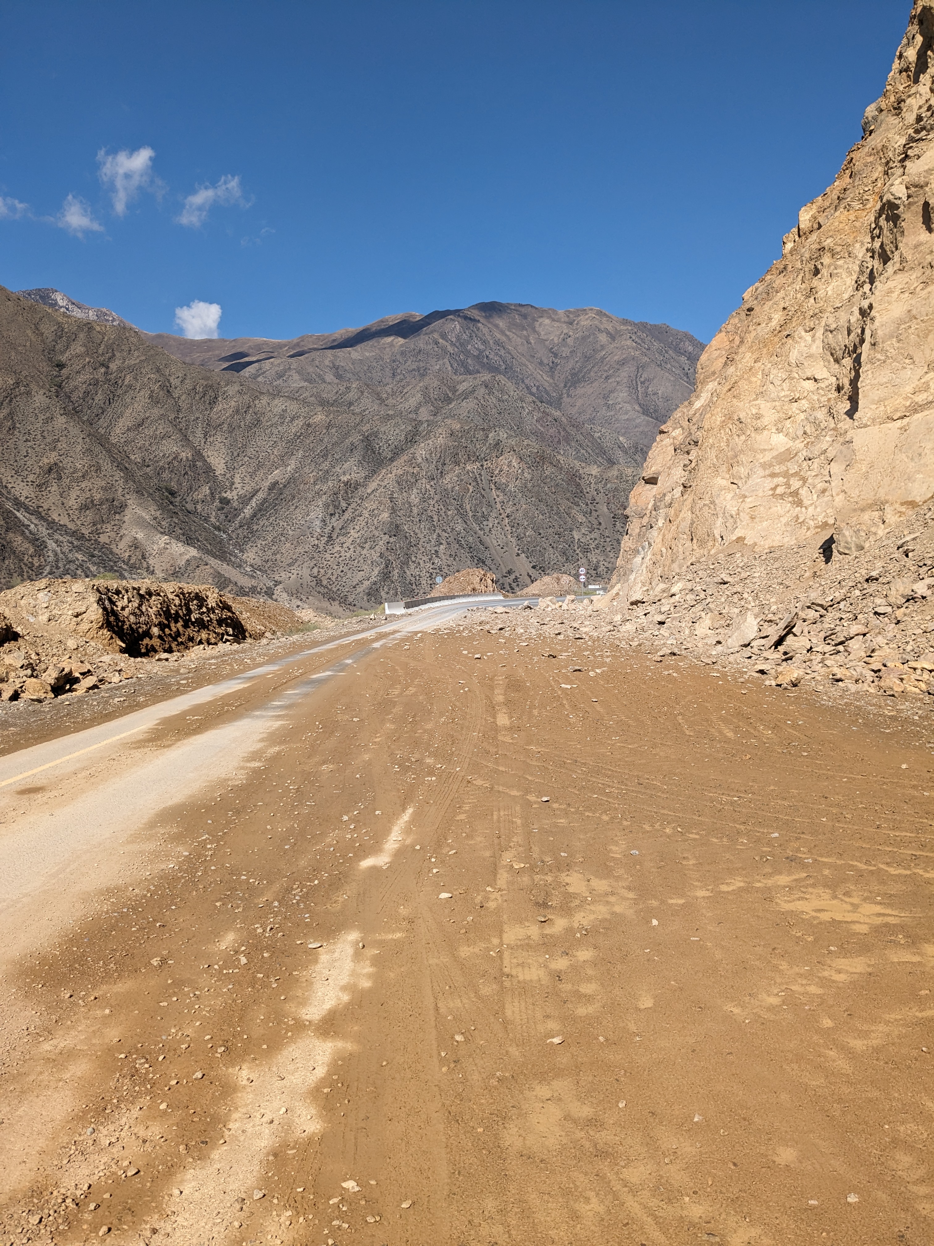
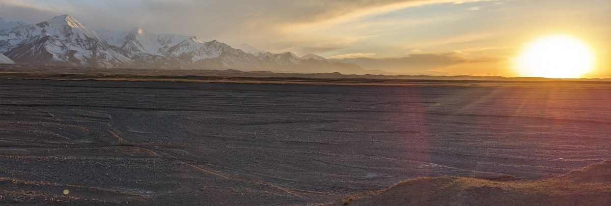
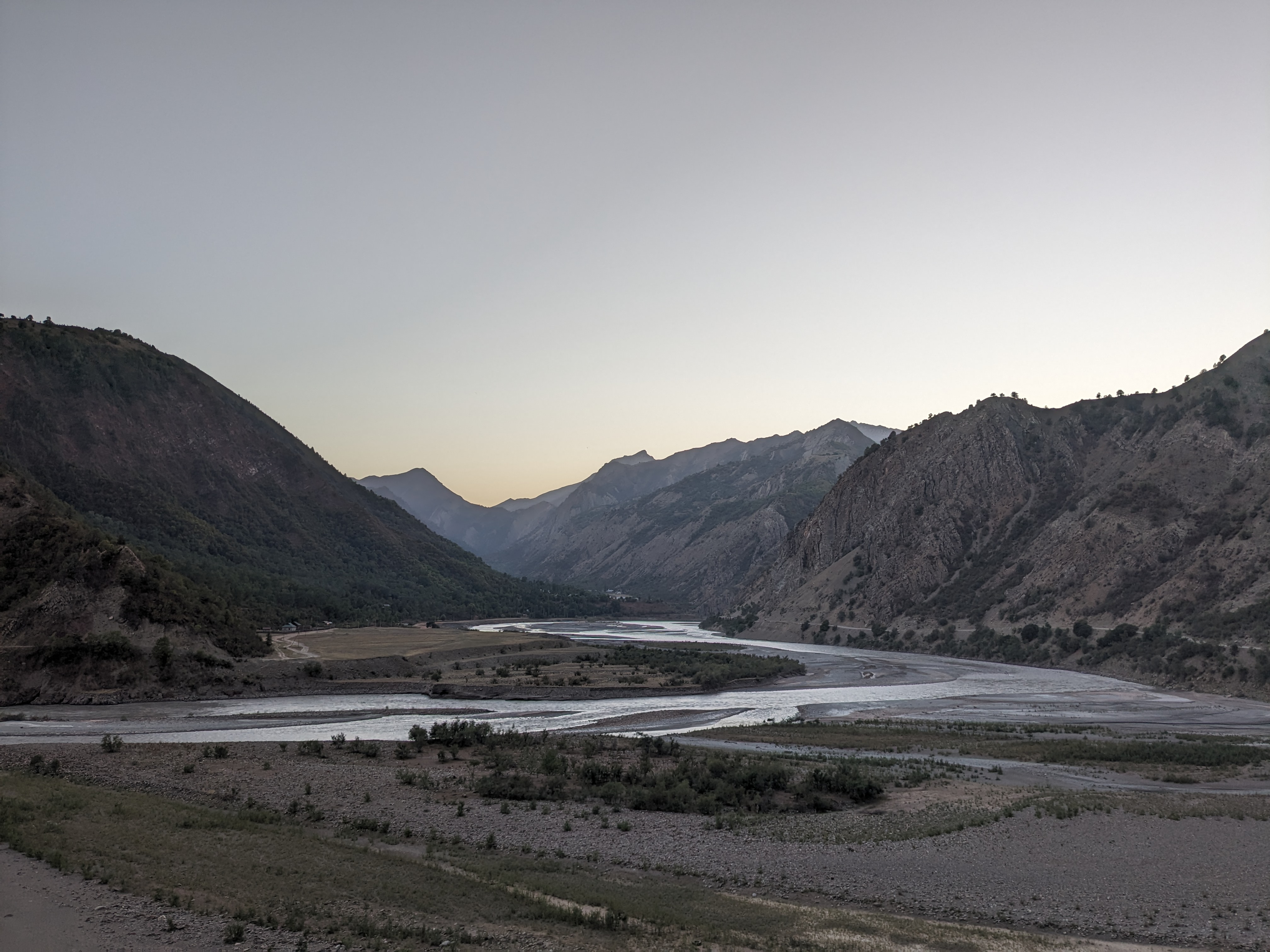
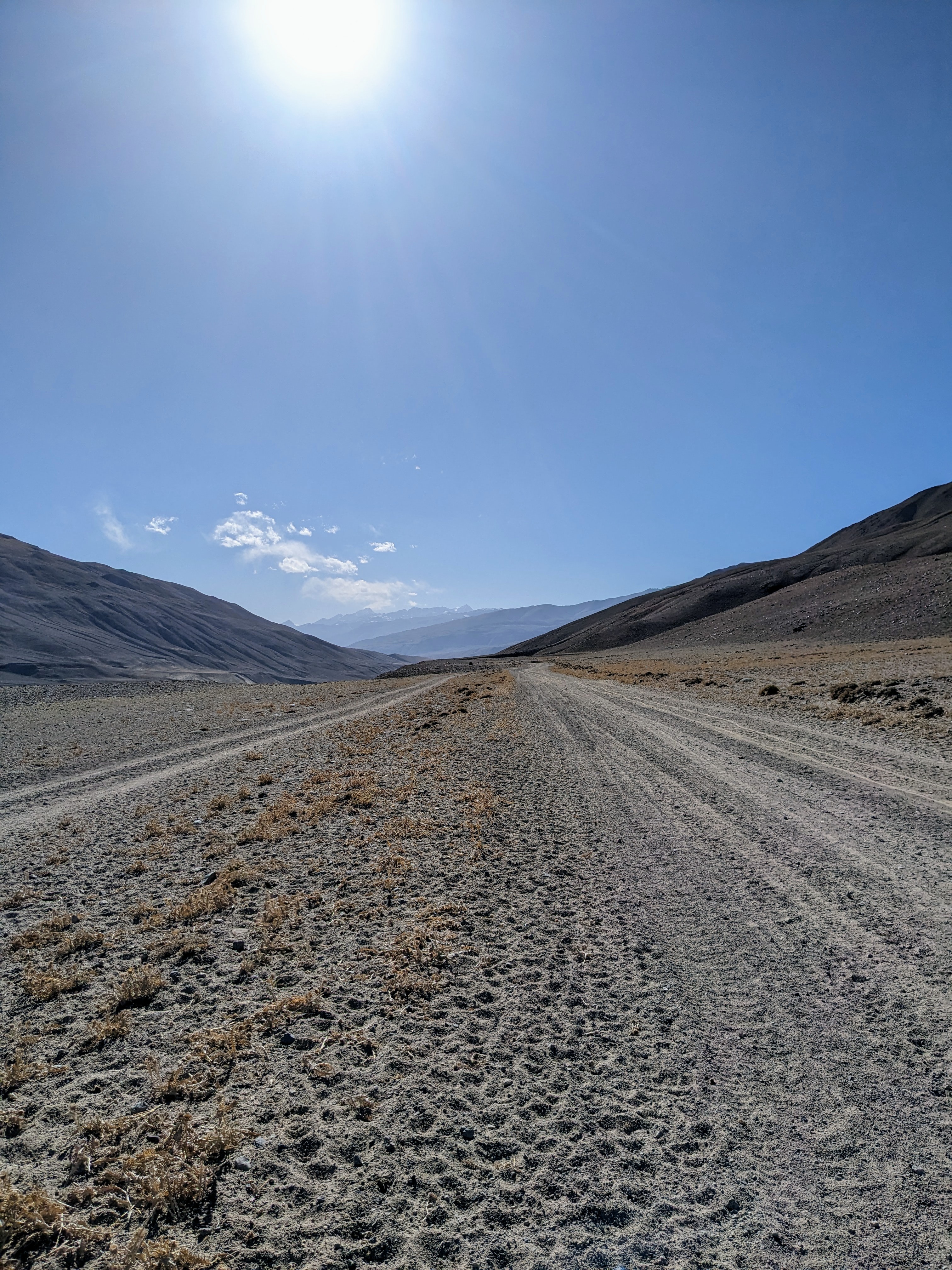
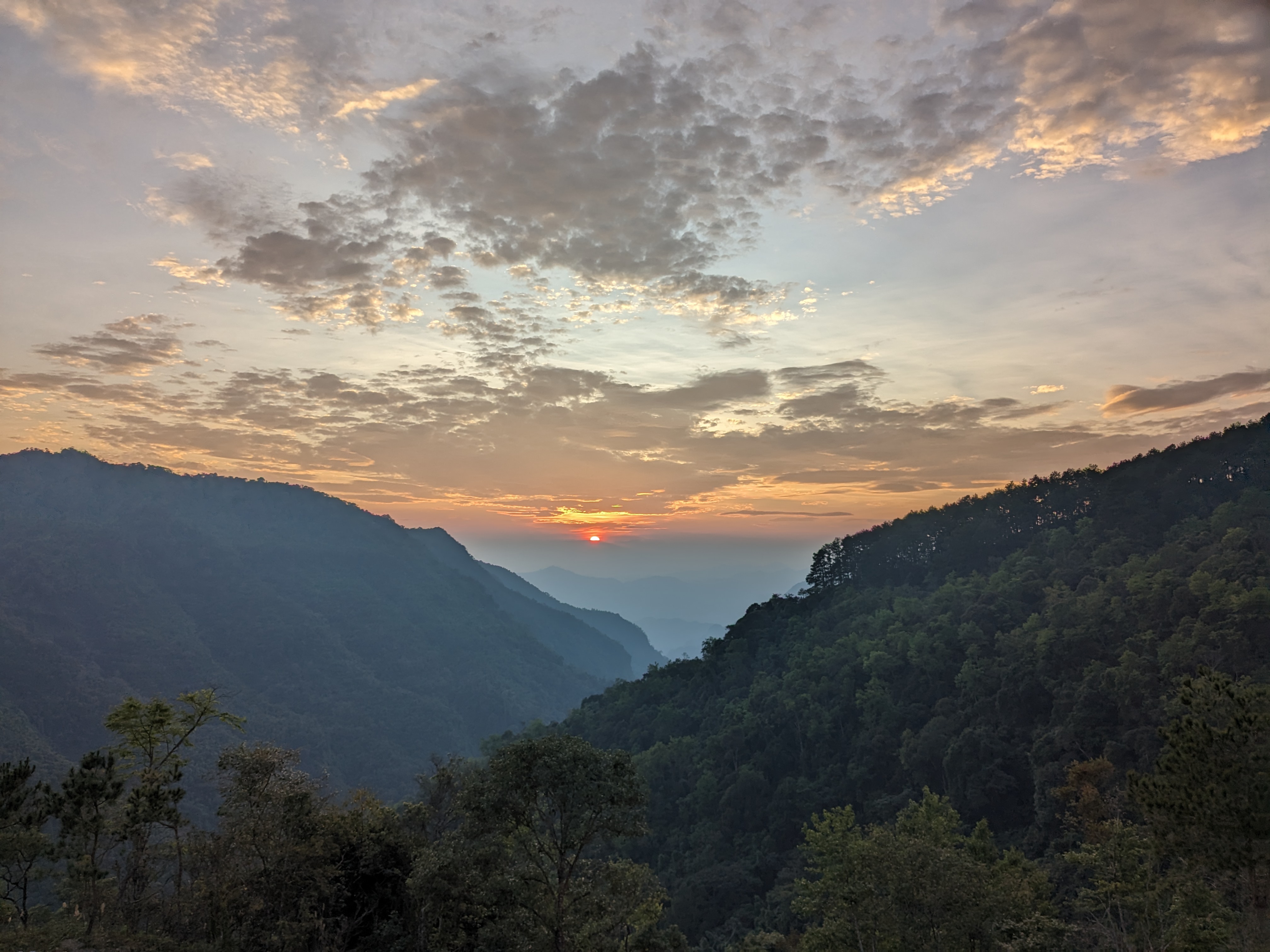
The next two days were spent heading for Cao Bang on more mountain roads enjoying the sights of untouched landscapes and captivating sunsets.

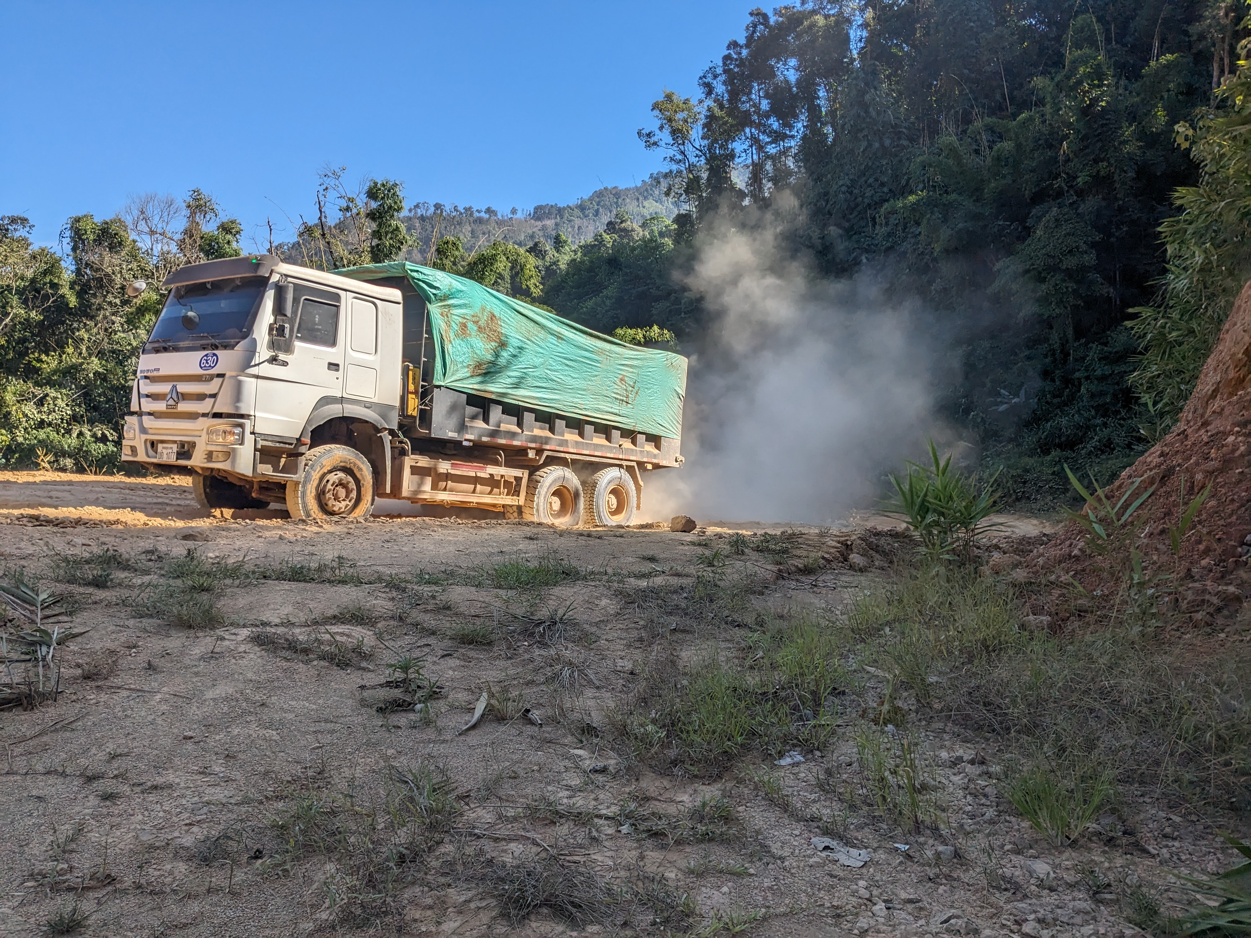
I’ve had a great start to my journey through Vietnam. The roads have taken some getting used to and have felt the most unsafe of anywhere so far. The city traffic is chaeos with motorbike drivers always pulling out and turning in front of me, making me swerve or brake. Then the vans in the mountains will be driving far too quick round the winding roads sounding their horn into the bends, taking up the entire road and expecting me to get out their way.

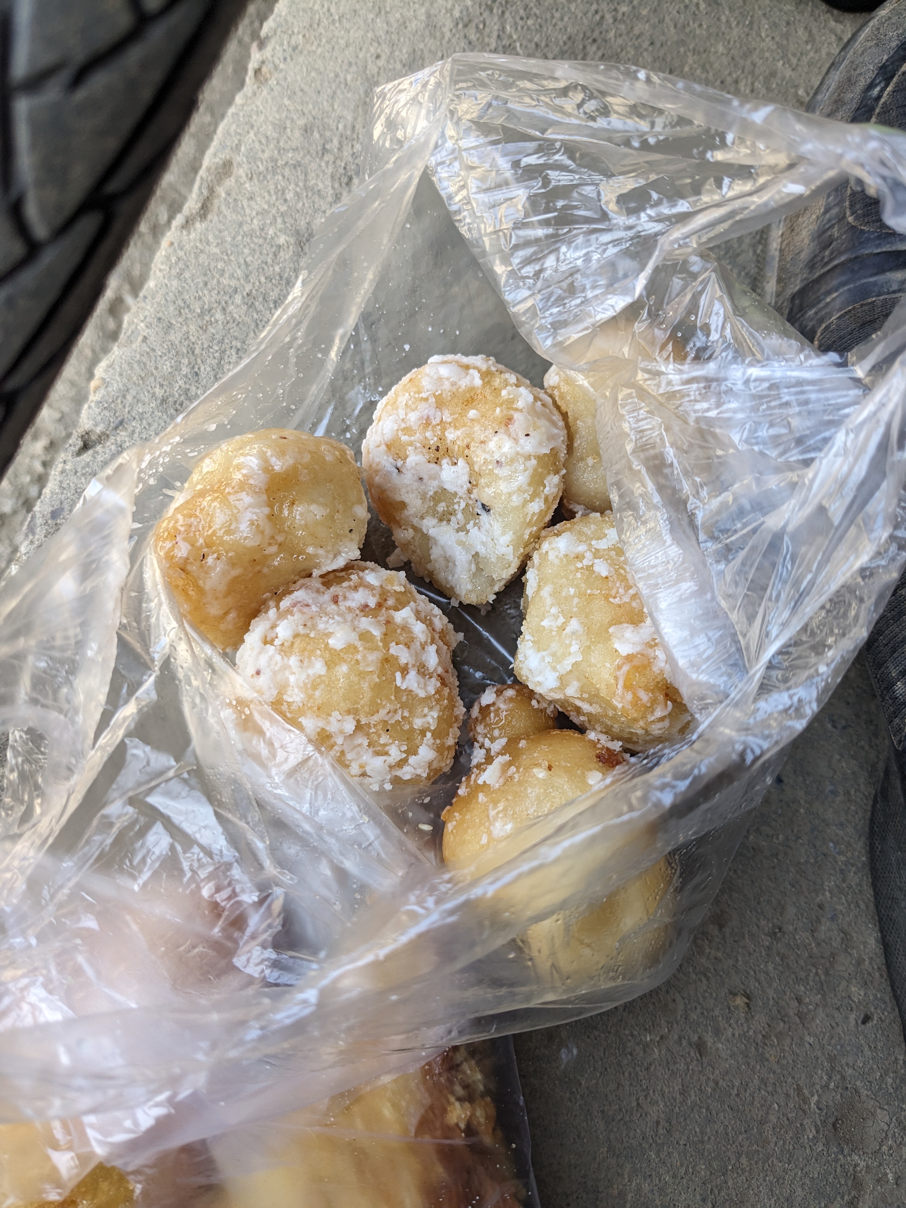
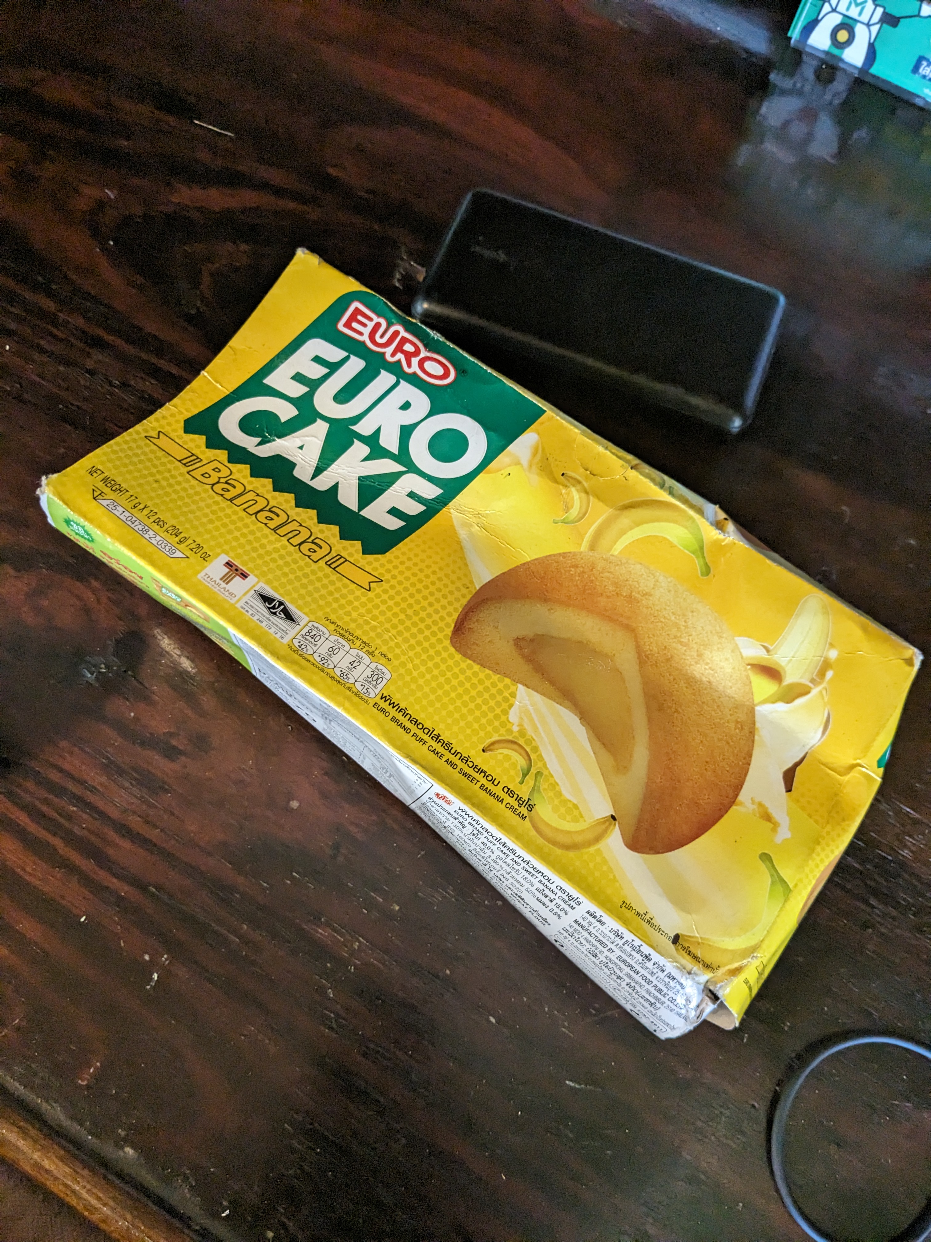
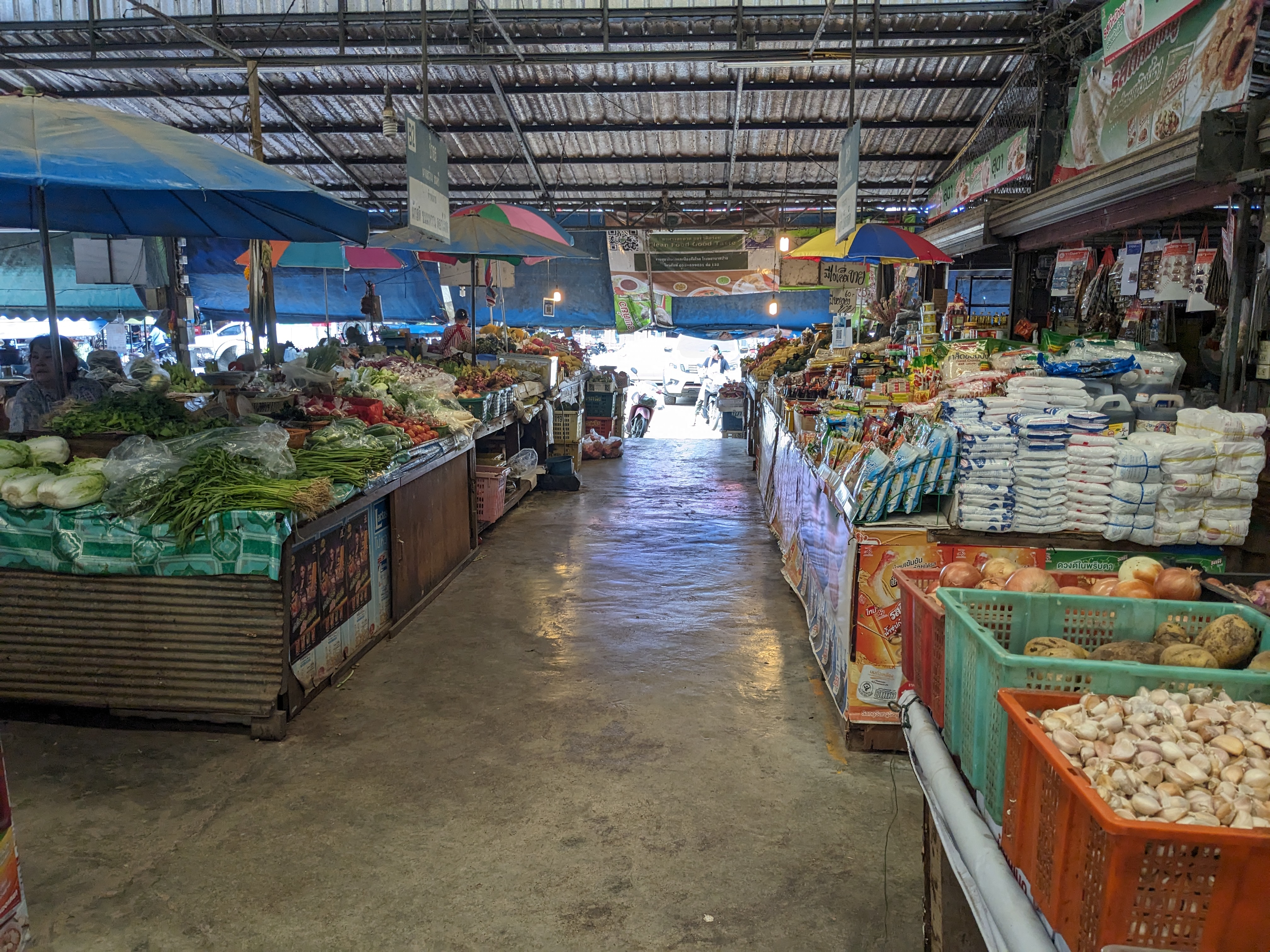
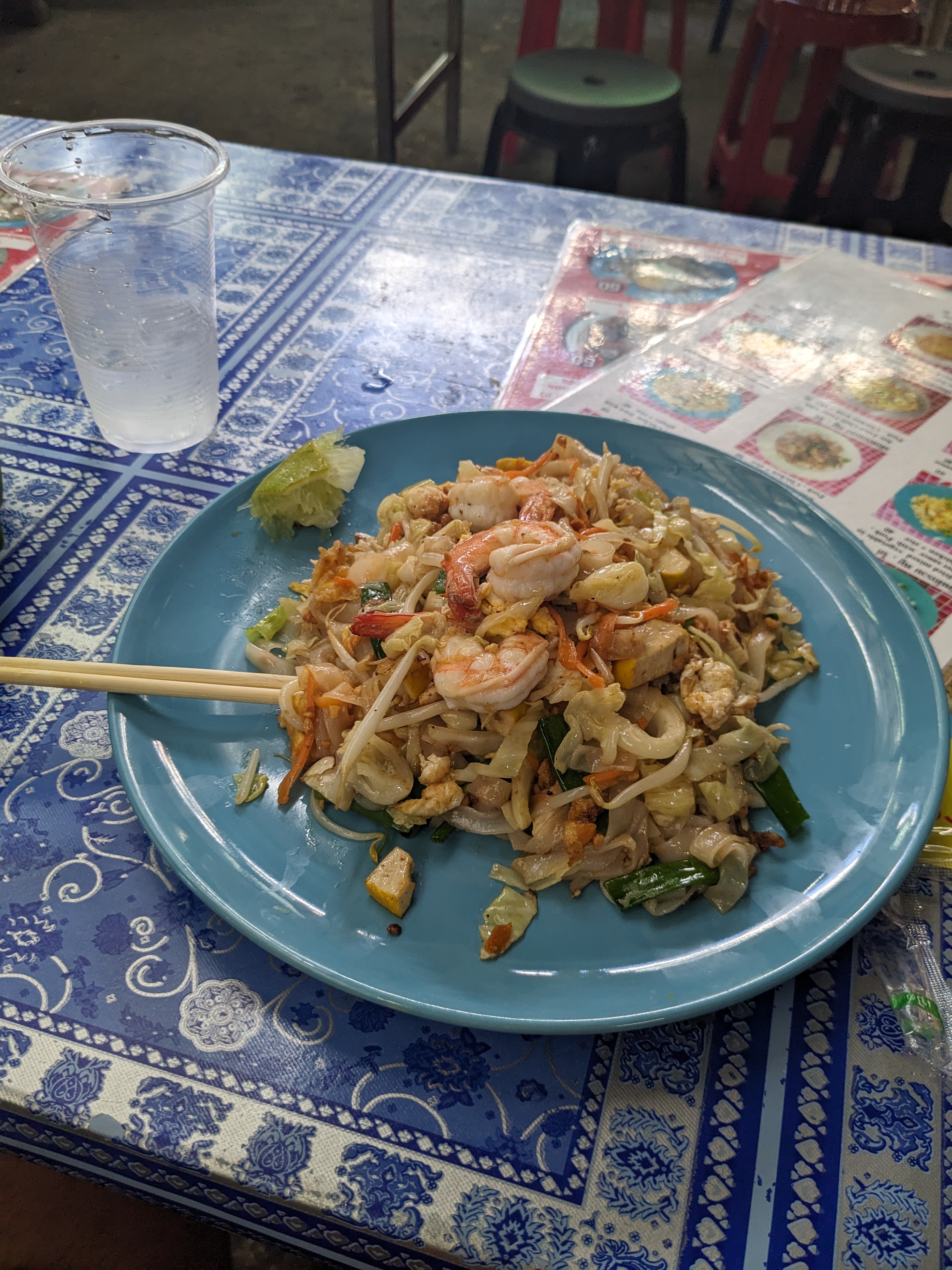
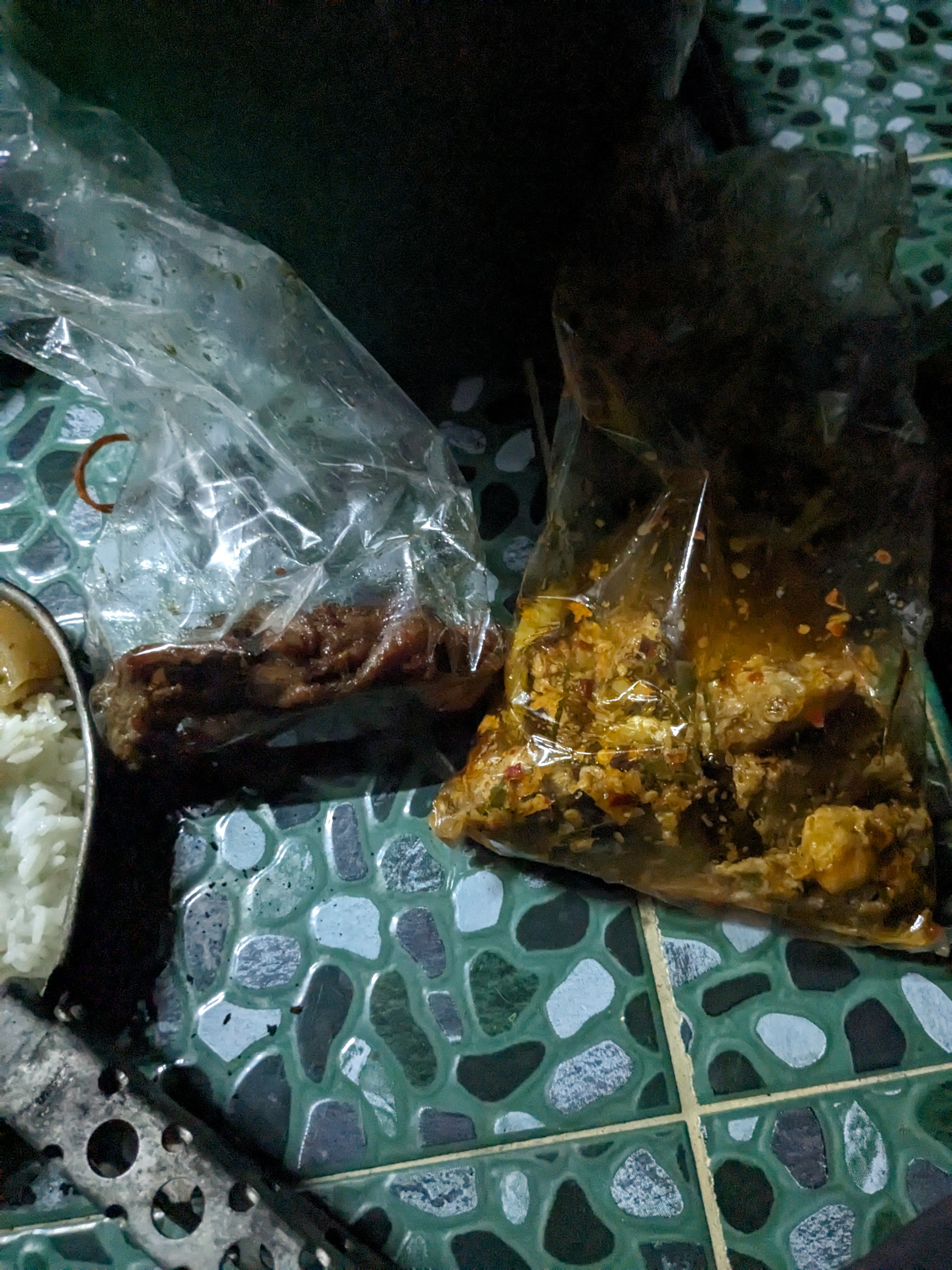
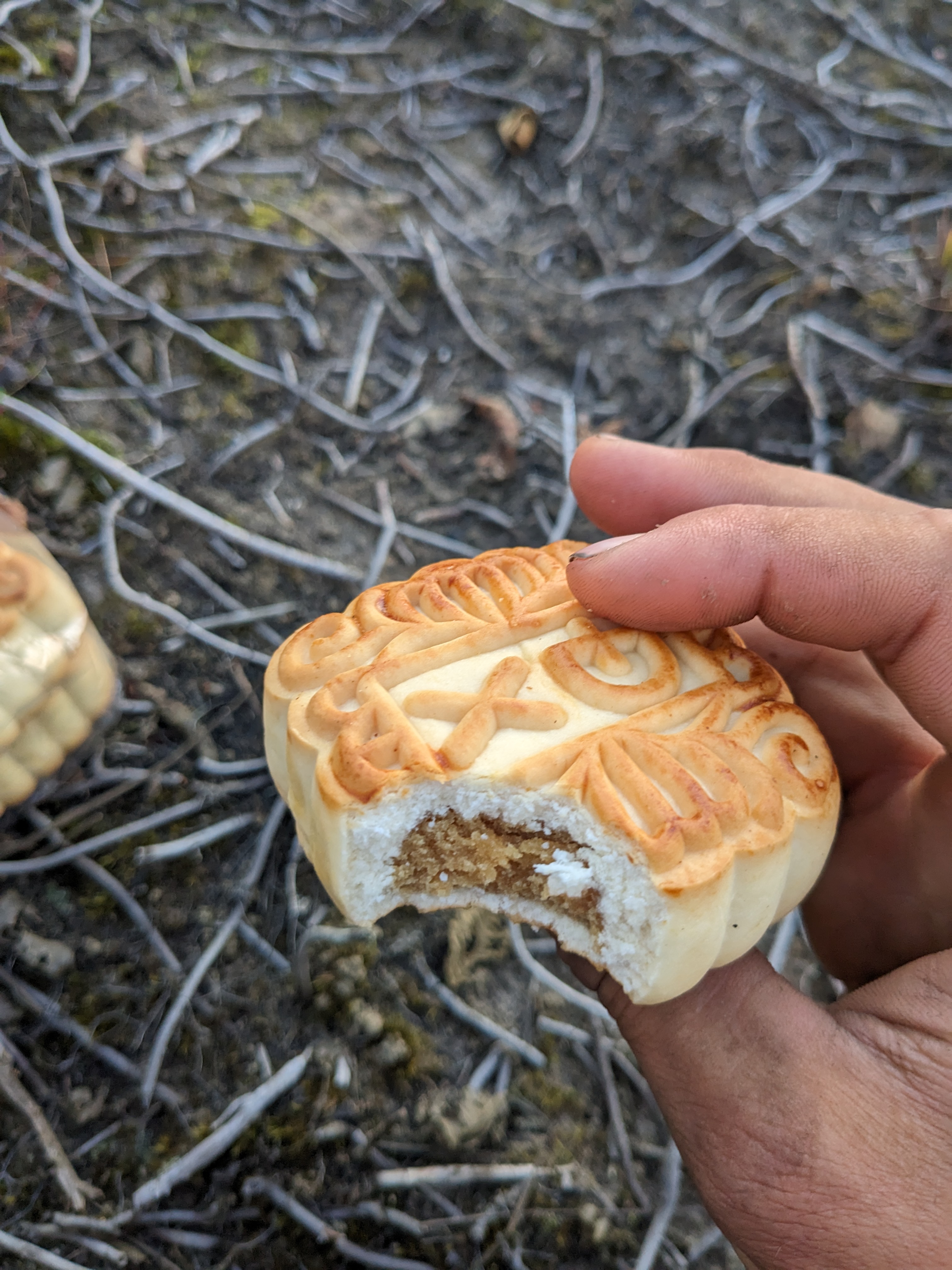
I’ve really enjoyed the food and the great Vietnamese snack offerings. From very cheap packets of crisps usually prawn flavour to deep-fried bread and Mung bean pastrys: a scone like snack full of a marzipan textured filling.

Now, my journey continues east through the northern landscapes, as I pedal toward the enticing coastline. Then, after 2 months of traveling north east, I’ll actually be heading towards Australia again.

East Laos

Leaving Vang Vieng, I decided to chart the direct course towards Phonsavan, opting for small roads. The journey, however, became an unexpected dance with trucks thundering up and down this unpaved track. The night unfolded with a fantastic camping spot overlooking the valley, but the trucks continued through the night waking me up a few times.

In the morning, a picturesque mist veiled the valley, a sight that would become a recurring view in Laos. Despite the breathtaking spectacle, cycling through the mist proved tricky with limited visibility and poorly maintained roads.

Persisting along the same road, I encountered deep mud roads for the first time on my trip. I was able to walk through it, but some of the trucks were stuck, their drivers seemingly nonchalant as they awaited rescue. In one instance, a generous driver shared food and water with me, finding me cycling this road quite entertaining (or at least more interesting that just waiting) .

Next, the road turned from mud to dust, throwing up a cloud of dust anytime a vehicle would pass. A local on a motorbike stopped to give me a face mask to wear however, both me and my bike still became caked in a layer of dust.

As evening fell, I was called over by some guys at a roadside bar and offered a BeerLao. This led to a shared meal of sticky rice and BBQ beef. One of them spoke enough English for us to communicate and explained they were miners, the trucks were coming from the mine and I could stay in their accommodation. After a short walk back to the accommodation we were stopped by security at the gate who said I couldn’t stay. Fortunately, the security guards offered for me to camp with them and I shared another meal then set my tent up in their shelter complete with electricity!

With improved roads, the next day marked smoother progress. Cycling through Long Chien, a village with a history as a former secret CIA airbase, added a layer of intrigue to the journey. What was at one point the second largest city in Laos, was now just another town but with a runway through the middle of it.

Reaching Phonsavan, I visited the enigmatic Plain of Jars, a UNESCO World Heritage site shrouded in mystery and wartime scars. It was a fascinating place featuring thousands of stone jars dating back to the Megalithic period and has stumped archaeologists as to why they were made. The site was heavily bombed during the Laos civil war as it was an area of strategic importance due to it being the highest hill around. This added to the sight as the bomb creators remain as a reminder to this event.

The journey continued on busier roads through towns adorned with communist flags something I hadn’t seen so far in Laos dispite it being a communist country. I quickly realised why they were so prominent here when I arrived at the Tham Piew cave. On 24th November 1968, 374 civilians were sheltering in the cave when the US launched a rocket at the cave killing everyone. It is a tragic story and was interesting how at the associated museum all the exhibits very explicitly blamed the US. I was there just 2 days before the anniversary, so there was a festival in action making me feel very out of place.

The final stretch in Laos unfolded along the C1 road, offering captivating campsites on hilltops, abandoned roads and by rivers. Each tiny village brought its unique charm, often with friendly children waving enthusiastically. In one, I was offered beer at 11am and still having the student mindset didn’t want to turn down a free drink!

Nong Khiaw, a town nestled by the river amid mountains, marked the final town I’d spend a night of the Laotian leg. A bed at a riverside hostel, complete with a breakfast buffet, offered a serene pause in my journey. I made sure to take advantage of the breakfast, eating as much egg fried rice as could before the road beckoned.

The last few days in Laos were spent on a main but quiet road heading for Vietnam. Just before the border, I met a Dutch couple who had just crossed from Vietnam. We exchanged advice and phone sim cards before parting ways.

Reflecting on Laos, I found it to be one of the most affordable and welcoming places on my journey. The food had been good in Laos too. It was very similar to Thailand, but with a few things remaining from when it was a French colony. These consisted of bread, doughnuts or other sweet baked goods, and cafes. Despite some poor roads and very assertive trucks especially on the mountain road hairpins, the warmth of the people and the richness of the landscape made every pedal stroke enjoyable.

West Laos

Crossing into Laos proved more challenging than expected. After leaving Thailand, I couldn’t cycle over the Thai-Lao Friendship Bridge No.4 and had to pay for a bus, a short 5-minute journey that involved a 30-minute wait for enough people to fill the bus up. At Laos passport control, despite completing the online forms for the eVisa and paying the fee, I had to fill in a similar form again. The official didn’t bother reading it, and it was pretty illegible anyway due to my poor handwriting from not touching a pen in 4 months. After stamping my passport and adding the visa, he then attempted to charge $1 for the stamp. I’d heard reports that the border officials often try to get extra money from tourists and it’s almost become a game for all the cyclists to kick up a fuss and dodge paying despite it being such a small amount. Therefore, I pretended I didn’t understand and upon reaching for my passport, he handed it over. Then after it got checked again, I entered Laos.

In the first town, I withdrew money from the bank and tried to get a SIM card. For £4, I could get 30GB of data, but the process was very prolonged. The shop assistent had to record all my passport details and was understandably struggling to use the QWERTY keyboard as he wasn’t used to the Latin alphabet. He also seemed very confused that my country was United Kingdom dispite me having a British passport.

Finally, I got moving again and my first destination in Laos was Luang Prabang. I decided to take the mountainous route over the longer main road to get there. Passing through farmland on the first night, I asked some farmers if I could camp in their shelter. They agreed, but it felt like they just wanted to get rid of me and resume their dinner. That night, I witnessed a stunning sunset and was grateful for the shelter during a huge lightning storm.

The next day took me deeper into the mountains, where the road started to deteriorate. In each village a crowd would gather whenever I stopped, with both children and adults staring curiously at me. This felt very strange as they wouldn’t say anything or acknowledge me but just stare. Laos has felt less developed than Thailand, marked by many houses in the villages not having electricity or water. Chickens, pigs and occasionally even Turkeys are often roaming freely in villages getting fattened up on scraps of food.

After crossing the Mekong River, I joined the new 4B road to Luang Prabang, a challenging but rewarding route through the mountains. This was one of the best roads of the trip so far being almost empty, fantastic tarmac and weaving through some amazing mountains.

I crossed into Luang Prabang by ferry and treated myself to a hostel with a pool spending two nights there relaxing. The town had a fantastic night market where you could get almost any meal all for around £1.50 and one evening I went bowling, a tradition among backpackers due to it being the only place in town open late.

After managing to snap my pannier rack the previous day, I also ventured out to find somewhere to get it repaired. It was currently held together with some string, but I hoped to find somewhere to get it welded back together. This was surprising easy as there were plenty of motorbike repair shops and I quickly got it done for £2.

Leaving Luang Prabang, I visited the Kuang Si waterfalls after meeting people from the hostel on the way there. This was a spectacular sight, and great that it was possible to swim in all the pools.

Continuing on a dirt road alongside the Mekong, I encountered a deep ford across a stream. Fortunately, there was a man with a bamboo raft who’s job was to help ferry bikes across. This was a very funny experience, but I’m sure he overcharged me for the crossing!

I was now heading toward Vang Vieng and had a beautiful cool night camped atop a huge hill. This has been quite the contrast from Pamir, where I’d sought lower altitudes for warmth. All that remained was descending down the mountain to arrive at the town.

Vang Vieng is a notorious party town on the south east Asia backpacker loop, however has calmed down considerably in the last 10 years after at least 27 tourists died there in 2011. Once there, I stayed in a £2-a-night hostel that had barely finished being built. Despite this, it had a great atmosphere and suited my needs. I enjoyed a rest day and spent my time with me exploring caves, swimming in lagoons, and trying the local beer: BeerLao. This beer is a nice larger and made from local rice grain.

Laos has been great fun to travel so far and I’ve really enjoyed the contrast in south east Asia of the cycling alone through the countryside for a week followed by a stay in a busy hostel. The next step of my trip will take me north east towards the Vietnam border, and I look forward what more this country has to offer.

North East Thailand

My next destination was the northern border of Thailand, where I spotted a promising road on the map within the Doi Pha Hom Pok national park, winding through the mountains and leading up to the second highest peak in Thailand, Doi Lang. A potential obstacle, however, was this road was right on the Myanmar border, so I was unsure if I’d be able to ride along it. Despite this uncertainty, I decided to just go for it and find out when I arrived at the checkpoint for the entrance to the national park. But first, I spent a day cycling along the flat to make it to the national park.

The arduous ascent to this checkpoint was the toughest climb in Thailand so far. Wrestling with a super steep road reaching up to 35%, compounded by the sweltering 40-degree heat, I found myself struggling and having push my bike up several sections. When I reached the checkpoint, I was denied passage by the stern army personnel, seemingly almost offended that I’d ask to pass. I still managed to get some great views from where I made it to and descended down via an alternate route.

That night I sought shelter at a temple, where a kind-hearted monk directed me to a place to stay and generously provided a substantial bag of provisions.

Among the offerings were several packets of instant noodles, far better than the Russian ones I had encountered in Central Asia, likely owing to the generous amount of MSG in them. There was also a sizable box of Euro Cake, a processed confection comprising sponge cake with a layer of jam inside. I’d been craving good cake since leaving Europe however, these treats failed to hit the mark.

The following day, I set my course for Chiang Rai along a splendid road tracing the course of the Kok River. This journey was the first time I left the tarmac in Thailand and featured a challenging river crossing. Fortunately, the current was not too fierce, but with the high river level I had to carry my bike on my shoulder to prevent my bags from getting wet.

Upon arrival in Chiang Rai, I checked into a splendid hostel reminiscent of a Victorian seaside hotel, complete with a complimentary breakfast that I definitely made the most of. I promptly sought out a bike shop to fix an issue with my front gears, which had been non-functional for the past few days. The bike shop, more of a bike supermarket, proved to be a treasure trove of parts, and I got them to also replaced my chain and rear cassette which were both worn out. I always have some trepidation at the bike shops as I’ll never be coming back, so there isn’t anything I can do if they perform a bad repair. So it was reassuring when a £10,000 bike gets brought in as it shows the bike shop must be trustworthy.

My stay in Chiang Rai extended for two nights, affording me the chance to explore the city, meander through the bustling night market, and attend to some admin, including securing my visa for Laos, the first visa I’ve needed so far.

Embarking on a journey northward, I ascended a mountain to savor a breathtaking view of Myanmar before descending and making my way to the Golden Triangle and catching my first sight of the Mekong river.

After receiving my visa approval letter by email, I needed to find somewhere to print it off. After enquiring at a guest house they sent me to a printing shop right by the border, a business clearly set up for this task. This provided a good way to disposal of my remaining Thai coins and I then cycled towards the border.

Mae Hong Son Loop

The Mae Hong Son Loop is a renowned motorbike route traversing the northwest of Thailand mostly in the Mae Hong Son province. It’s stunning landscapes and scenic allure drew me in and enticed me want to ride it.

Leaving Chiang Mai that morning was a relif, as I relished the sensation of escaping the bustling city. Entering the mountains once more, I passed several elephant sanctuaries and was always amazed by these animals. Also along the route, water buffalo grazed peacefully. They always looked angry however, so I’d pass them cautiously but they never paid any attention to me.

My journey took me to Doi Inthanon National Park, home to Thailand’s highest peak. Eager to conquer the summit, I undertook the challenging climb, though the descent presented an unexpected hurdle—a steep fine of around £20 for cyclists. This was apparently due to local riders cycling bicycles without even a chain down the hill recklessly, resulting in numerous accidents. When I inquired how I was supposed to get down, the guard at the base chuckled and told me to just ride slowly.

After a strenuous 2-hour ascent, my efforts were met with a disappointing lack of a view at the cloud-covered summit. However, the descent provided a stunning panorama once I emerged from the mist. Unsure how slow I was supposed to go, I cautiously maneuvered past the spots where I’d noticed guards were stationed on the way up and avoided any unwanted encounters.

That evening, I settled at a picnic area equipped with a swimming pool, opting to camp in a shelter for protection from the rain. However, my refuge was not without its drawbacks. I found myself under siege from a relentless army of ants that had infiltrated my tent through holes in the bottom, waking me repeatedly as they crawled over me and bit me.

The poor sleep, huge climbs and probably not eating enough left me feeling pretty exhausted the next morning, a bad start to another big day full of climbs. Pushing on, I eventually crossed into the Mae Hong Son province and reached the town of the same name.

Early afternoon I decided to find somewhere nice to camp so I could have a relaxing evening. I ventured 4km off the loop to a lake which had camping, only to find it under renovation and closed. This was quite frustrating having to do an extra 8km with no purpose. Next, I saw a sign at the side of the road for camping in what felt like just someone’s garden. The man wanted 300 Baht for one night, twice what I paid for a hostel in Chiang Mai. Attempting to negotiate a better price proved fruitles, leading me to settle by a secluded waterfall for the night. This was a beautiful spot where I could enjoy a wash in the waterfall and very quiet, only seeing one other person the whole evening. I set about patching the holes in my tent but to no success, with the ants still found a way in that night.

Continuing my journey, I reached the Su Tong Pae bamboo bridge. This was built in 2012 to connect the village with the temple each on opposite sides of the river and was an amazing sight. The route I had planned went over the bridge, but after getting a stern look from a monk when I arrived and seeing all the stairs on the far side I decided against crossing it with my bike. I therefore just walked around admiring this structure for a while before continuing.

That afternoon, I pedaled up a significant hill toward the Myanmar border, arriving in the surreal atmosphere of Ban Rak Thai village. This town felt very up market filled with beautiful holiday villas. Whilst venturing into the surrounding hills, I encountered four Myanmar men who kindly let me camp outside their residence that night. They were very friendly and keen to tell me about the ongoing civil unrest in their home country which they’d escaped and were now working as builders in Thailand.

Battling through relentless rain the following day, I sought refuge a few times in restaurants and cafes using it as an excuse to stop and eat. I also encountered my first other bikepackers in the country, a group of Thai men heading in the opposite direction.

I now had one more big hill between me and Pai. I hoped to get as much of it done as I could that evening to give myself an easy ride into the town the following morning. By 6pm it was getting dark and I couldn’t find anywhere good to camp, so ended up just on the side of the road slightly hidden under an abandoned hut. I didn’t sleep well that night due to the sound of trucks and motorbikes often waking me combined with the anxiety from being clearly visible from the road. Fortunately, I did managed to get up most of the climb complete so had an easy ride into Pai the next day.

Pai was an interesting place, definitely not what I expected. It didn’t feel like I was in Thailand, but definitely had it’s own vibe of being the quintessential hippy town. The place seemed to only cater for backpackers with almost every shop being tattoo parlours, bars or indy cafes and often being a combination of two these.

I checked into a hostel run by a French man and this was clearly the place the French speaking expats hang out as there were about 5 older men sitting round the bar smoking weed and drinking beer when I arrived at midday. They were very entertaining and it was fascinating to hear how they’d ended up living here. From about 5pm it started raining and continued the entire night, making me very relived I had a roof over my head.

The following day was again plagued by more rain however, the road was one of the best cycling roads I’d ever been on. After a long climb to start the day, the rest was spent going down a fantastic mountain road with some spectacular corners. So far, most of the descents have been very steep making them hard to enjoy but the low gradients of this one were brilliant.

After picking up some food from a market, I stopped at a temple to camp wanting some shelter from the forecast storm coming that night. I was greated by friendly monk, who spoke very good English as he was a pupil at a temple in Runcorn for two years. He didn’t seem too impressed by the north of England however, complaining that it was too cold!

Deciding against a return to Chiang Mai, my next leg involves an eastward journey through more national parks toward Chiang Rai. The loop proved to be more demanding than anticipated, with a multitude of steep hills presenting quite the challenge for my heavily loaded bike. Nevertheless, the breathtaking vistas along the way and feeling of being back in the wild when pedaling through the jungle make it an unforgettable experience.

Bangkok to Chaing Mai

Upon arriving in Bangkok, my immediate plan was to escape the bustling city and locate a suitable spot for camping. Having spent a few days in Almaty and endured a full day of travel, I was eager to get back on the bike and get moving.

Navigating through the city chaos proved to be quite a task, especially when met with the staggering 35-degree heat and an overwhelming level of humidity. The air felt thicker and I was probably imagining it but more challenging to cycle through.

Plotting my route from Bangkok to Chiang Mai posed a new challenge. Unlike the sparsely connected towns of Central Asia, Thailand’s abundant routes left me with an array of options. To ensure quiet roads and breathtaking views, I decided to connect the dots between various national parks along the way.

Each evening, I sought refuge in temples, where I encountered varying degrees of hospitality. Some monks simply guided me to a quiet corner, while others engaged in conversation and generously provided me with food. The temples, although exquisitely beautiful, quickly became mundane and once I’d seen a few grand ones felt I had seen them all.

The fourth day brought me into the mountains and I wasn’t prepared for how tough the Thailand climbs would be. On my Garmin I’d be told an average gradient of 7%, yet half the ascents would exceeded 12%, and the other half would be short steep downhill sections. The scorching sun and relentless humidity made the task even more arduous, with the temperatures often around 40 degrees.

Amidst these challenges, sourcing drinkable water became another significant hurdle. The tap water, wasn’t drinkable anywhere and often yellow, resulting in frequently using my filter. Thankfully, most restaurants provided access to a water cooler, so I’d try to drink as much as possible during my lunch breaks. I’d stop most days to eat at a restaurant as the Thai cuisine has been great. For £1 I could get a meal, the highlights being noodle soup, fried rice and pad thai.

Sampling a variety of tropical fruits became a regular indulgence and I’d always buy anything I didn’t recognise. One challenge however has been finding snacking foods, as there is no biscuits or cakes. This has prompted me to resort to having lots of fizzy drinks to get some sugar.

Given the lack of oats or bread avaliable, my breakfast routine has revolved around cooking rice each morning. In the evenings, I often resort to purchasing a bag of curry from the local markets, which I pair with yet more rice. Consequently, I’ve been consuming a kilo of rice every two days, something that’s been surprisingly hard to source. This is due to most markets predominantly stocking 10 or 20kg large bags.

The locals have all been very nice, but not as curious as in Central Asia. A likely consequence of Thailand’s touristy nature. Despite encountering good English speakers in the cities, it was far rarer in other regions. One memorable encounter involved meeting Ying, a friendly local whose mother ran a restaurant. She showed me around their splendid tropical garden and even offered me a position on their farm!

After six days, I finally was able to wild camp, nestled within the rainforest of a serene national park. However, an unexpected downpour left most of my sleeping gear damp and an army of ants added to the problems. Fortunately, I’d planned to stay in a hostel the following day in Chiang Mai so was able to dry everything off.

My time in Chiang Mai felt like going to an activity park. The city was teeming with advertisements for various day excursions, including elephant visits, rafting trips, and Thai cooking schools. A quickly walked around the city which led me to Decathlon, where I managed to purchase much-needed new cycling shorts after mine were becoming quite see through. The remainder of the afternoon was spent unwinding at the hostel, followed by a pleasant evening at a local bar with the hostel staff.

Next I’m heading into the mountains in the north West of Thailand through Mae Hong Son provance. This was a popular motorbike loop and I look forward to the cycling adventure through it.

Eastern Kazakhstan

Upon crossing the border into Kazakhstan, my journey took me westward toward the city of Almaty, where I intended to catch a flight to Southeast Asia. Admittedly, I hadn’t conducted any prior research on this region of Kazakhstan, so my initial expectation was it would just be a ride along one of Kazakhstan’s very straight roads for a few days. A quick google search swiftly dispelled my assumptions, revealing that this particular area of the country offered much more than just desert or steppe terrain, boasting numerous noteworthy sites to explore.

On the first night, I sought out Temirlik Canyon as my camping spot. Not wishing to do an out and back from the main road, I embarked on a challenging path, navigating along a rugged dirt track, very steep descent and several deep river crossings. Eventually I settled for the evening in a great spot with only the company of some grazing cows. I of course make a large fire to cook on, now a necessity due to some how losing my fuel bottle.

The following morning, as the sun illuminated the canyon’s dramatic contours, I ascended from the canyon and continued my journey along dirt roads, eventually rejoining the main road.

After about 50km along the main road, I veered off once more, setting my sights on Lake Batogay, a picturesque location where I aimed to make camp that night. Fortunately, along the shoreline I could once again find an abundance of firewood.

The subsequent day proved to be particularly demanding. Scaling a 1000-meter ascent, I then traversed a treacherous trail that necessitated constantly pushing my bike through steep and rocky terrain.

Eventually, the terrain flattened out and my path led me to the Assy Plateau, where I stumbled upon an old Soviet observatory, which I really wanted to explore.

I was unsure whether it was abandoned or not so spent a while trying to decode the signs and looking over the fence to see if anyone was there. Eventually I saw someone and they began walking towards me. I had no luck convincing this security guard to let me look around, dispite talking to him for about 15 minutes. He spoke no English making it an interesting conversation where each of us would just take turns talking at the other, and then get a shrug and laugh in response. I think he was quite bored and it didn’t really seem he had much to do. Finally, I left and as the sun was setting descended into a forested valley to make camp. This was quite a challenge with the limited light cycling down a dark grassy trail.

The next morning, I returned to tarmac descending down a beautiful road through Turgen Gorge. Leaving my bike locked up, I took a brief hike to admire an impressive waterfall and enjoy the stunning autumnal colours of the valley.

Later that day, I entered one of Kazakhstan’s national parks costing me about a pound and cycled up a valley to spend the night at Lake Esik. This breathtaking lake hidden away in the mountains displaying a vibrant green-blue hue from glacial flow. While the lake was quite busy with people during the day, I had the place to myself that evening.

I had a nice down hill ride into Almaty and checked into a hostel for two nights on Thursday afternoon. With my flight not until 2am on the Sunday, this forced me to have a few days off the bike which were probably needed. Dispite being the largest city in Central Asia, there wasn’t much to do in Almaty and after walking around for half a day, I felt I’d seen it all. Therefore, I spent the rest of this break mostly at the hostel meeting the other people and making the most of the good wifi.

Aquiring a bike box was very easy in the city, and I managed to cycle it to the airport without much difficulty. The next challenge was packing the box up which didn’t go to plan. The box was quite small forcing me to remove both wheels and I was also unable to remove the pedals, so I just crammed it all in and hoped for the best. I was sightly worried it would be too heavy. The weight limit was 30kg and my bike was 38kg last time at Tbilisi airport, forcing me to squeeze as much stuff into my hand luggage and wear both my coats. Fortunately, it weighed 28kg which was very relieving.

After 6 weeks I was now leaving Central Asia. I had a great time cycling through this region and really enjoyed the wilderness, incredibly friendly locals and meeting so many cyclists. Only in the last two weeks have I felt I’ve been managing my food well. Some of the best foods have been the local street food that featured deep-fried bread stuffed with sausage or potatoes, along with pastries akin to Cornish pasties, filled with a blend of meat and potatoes. Additionally, I found myself indulging in halva: a sweet treat made of sunflower seeds and also lots of sweet pastries the best being the ones stuffed with walnuts.

Kyrgyzstan

I didn’t spend too much time in Osh, the second largest city in Kyrgyzstan. I took a short walk around the city to find a new pair of shorts after losing mine in Tajikistan. Procuring them in a Muslim country posed a challenge, but I eventually found some at the bustling market. Departing from Osh wasn’t easy. Although I was tempted to spend another night relaxing at the hostel, I knew I was just being lazy and had to press on and explore more of Kyrgyzstan.

Over the next day and a half, I made decent progress, but the cycling through towns on the outskirts of the city and vast farmlands wasn’t particularly inspiring. However, as I ventured into the mountains, the roads quickly deteriorated, and the feeling of being back in the wild engulfed me.

The first obstacle I encountered was a mountain pass exceeding 3000m. Kyrgyzstan’s wetter climate compared to Tajikistan meant snow capped many of the mountains. Scaling each pass, I never quite knew how much snow awaited me at the summit.

During the ascent, a massive flock of eagles (I think) soared above me, an awe-inspiring sight I shared with a local man riding his horse. The locals’ way of life fascinated me, with many living in yurts and tending to herds of animals. It felt like they were living the same way as their ancestors did 2000 years ago.

The view from the top was amazing and always made better by the feeling you earnt it by cycling there. Luckily, there wasn’t any snow covering the road, and I quickly descended down the other side to the warmer temperatures in the valley, making camp by a river for the night.

Numerous fellow cyclists had eagerly told me about the brand-new north-south road, which I was heading towards. It was so new it wasn’t even on the map yet! They promised perfect tarmac and sparse traffic, and my experience matched their descriptions. Slicing through the beautiful landscape was a great experience. It was also clear why so many of the roads are in such poor condition, with multiple landslides already damaging the surface in several locations.

While cycling this road, a group flagged me down while they were having a picnic on the boot of their car. They offered to share their meal with me, which included bread, chunks of beef, and some kind of fermented yak’s milk that honestly tasted like vomit! The driver then brought out the vodka, and after him and I did a few shots together he got back in the car and drove off!

Next, I set my sights on Song-Köl, a lake at 3000m, known for its stunning beauty, although getting there proved to be a challenge. I had to leave the paved road and navigate a steep track before descending toward the lake along a grassy track.

The lake was truly awe-inspiring. I had heard that during the summer, the shoreline was dotted with yurts for visitors to stay in, but now, only a few shipping containers remained. The isolated feeling up there made the experience even more memorable.

Leaving the lake had me cycling through quite a bit of snow, but this made the scenery even more surreal. That evening I headed down into the valley and camped out with some cows for company.

Since heading up toward Song-Köl, I had been following fresh bike tire tracks on the road. It was always enjoyable to play detective, trying to decipher the direction they were headed and guessing who they might be. On the third day of seeing these trails, I met the French couple responsible, although our encounter lasted only about 10 minutes before we parted ways, each heading in different directions.

Over the past few days, I had realized my deep enjoyment of cycling through the mountains and the feeling of being completely immersed in the wilderness. Consequently, I continued on the mountain roads, relishing the breathtaking views and tackling the challenging road conditions for two more days.

The final mountain road in Kyrgyzstan I was going to conquer was the Tosor Pass. This involved numerous river crossings, leaving me with the perpetual dilemma of whether to ride through, attempt to walk the bike stepping over the stones just above the water, or take the time to remove my shoes and socks and wade through. Most times, I opted to cycle and inevitably ended up with wet feet. I also met Swiss cyclist Maurizio along this road who took some fantastic photos which really show the scale of these mountains.

The last four days had been arduous, taking a toll on my energy, leaving me feeling thoroughly exhausted. Each day, I aimed to conquer a mountain and camp at a lower elevation for a warmer night, which required covering significant distances. On the particular day I made it to Issyk-Kul, a vast salt lake in the northeast of Kyrgyzstan. In the afternoon, I made it to a wild beach along the shoreline, where I took the opportunity to rest, enjoy a swim in the surprisingly warm water, relax on the beach, and build a large fire that night. It was an amazing location and so special to have it all to myself.

Leaving the lake’s shore, I set my course toward the Kazakhstan border, cycling mostly through farmland and steppe for another a day and a half.

Kyrgyzstan has undoubtedly been one of the most best countries I’ve visited so far. The people were incredibly friendly, often offering me food and showing genuine curiosity about my background and travels. Although the cost of food was noticeably higher than in Tajikistan, the country felt far more developed, boasting very good phone signal coverage almost everywhere.

I think I also got very lucky with the weather not having any real cold and experiencing only one afternoon of rain during my entire stay. Additionally, I frequently encountered fellow cyclists almost every day who were all great to have a quick chat to. Finally, the breathtaking landscape and incredible isolation at Song-Köl has probably make it my favourite place of the trip so far.

Dushanbe to Osh through the Pamir Mountains

Embarking on the next leg of my journey into the Pamir Mountains, I knew it would be the most challenging adventure yet. With treacherous roads, altitudes exceeding 4000m, and freezing nights, this segment had been looming as the ultimate challenge of my trip. Looking back, the last two months from Windsor to Dushanbe seemed like a preparation for this very moment, and I was excited to embrace the impending challenges.

The route from Dushanbe to Osh via the Pamir Highway is often hailed as the bikepacking mecca. Covering around 1400km through one of the world’s highest mountain ranges, it’s typically tackled in the middle of summer to avoid extreme cold at the higher altitudes. Departing Dushanbe on the 9th of September, we were acutely aware that we might have arrived late in the season, with concerns about plummeting temperatures as we ascended beyond 4000m.

Setting out with Joris, we faced a choice: the northern road or the southern route to the Pamir Mountains from Dushanbe. Recommendations at the hostel led us to the northern route, celebrated for its scenic beauty and tranquility, albeit with challenging road conditions. True to word, the route was breathtaking, but the rough road slowed our progress. Meanwhile, I grappled with illness, my diet dwindling to instant noodles, coke, fanta, and ice cream as I struggled to ingest anything else and was just trying to get some sugar in. After two grueling days, the physical strain became unbearable, prompting me to let Joris continue ahead while I took a day’s respite in solitude, hoping to regain my strength.

The following day, reenergised, I embarked on a demanding climb to 3200m through a quite barron landscape. I started to feel the altitude beyond 2500m, characterised by a slight pulsing headache. Eventually, I conquered the pass, greeted by a stunning yet precarious descent into the town of Kalaikhum. Here, I encountered my first military checkpoint—a daily occurrence henceforth—where displaying our passports and GBAO permit was all that was required to proceed however, they were always a nervous affair with unfriendly armed guards.

The quality of available food had rapidly declined since leaving Dushanbe. Bread, a staple, became scarce, while fresh produce was limited to eggs, onions, and garlic. Even tinned goods were often years past their expiration date. Consequently, we adjusted our meals to accommodate these limitations, mostly subsisting on egg fried rice, pasta with tomato paste, and plenty of the local Tajik biscuits which pretty much tasted like malted milks.

Continuing along the road paralleling the Afghanistan border, separated only by a river, was a sobering experience. On the Afghan side, we observed the locals living their lives, and even the Taliban and their flag and any crossing point. The valley was also strongly cloaked in dust, casting an unsettling atmosphere.

The first night, after choosing a camping spot, I was told to move by a Tajik army patrols. They explained I couldn’t camp in view of Afghanistan otherwise I may get shot during the night. I didn’t really see this as a possibility any more likely then being shot whilst stopped anytime during the day. Nevertheless, I relocated to behind an abandoned shepherd’s hut and subsequently, spent several nights in other creative concealed spots.

After the mountain pass, I was expecting better road conditions, however they never came. For 200km between Kalaikhum and the next town, Rushan, gravel and rugged terrain persisted. Roadwork was ongoing, involving controlled cliff face explosions, and often led to frustrating delays whilst the road was impassable, as I waited under the sun’s relentless gaze for often hours before they’d let traffic pass. This often had the added stress of hearing random explosions whilst cycling along, but I very quickly got used to it and felt safe cycling through this amazing landscape.

During one such delay, I was allowed to pass, but I struggled to navigate the rubble and gratefully accepted a construction worker’s assistance in transporting my bike in the diggers bucket.

Eventually, I caught up with Joris, who had been stalled for six hours due to road construction. His companionship was a welcome relief. Then, after three days of passing only sporadic villages, we reached Rushan and then Khorog—two larger towns, yet the food supply mirrored our recent experiences: out of date tinned goods and very little fresh food.

Opting for a hostel for a change of pace in Khorog, we looked forward to a warm shower and access to electricity and strong internet for very cheap as we chose to camp there. Our excitement was tempered when the entire town suffered a power outage around 7 pm but fortunately, power was restored during the night.

The next decision loomed—continue on the main road or explore the Wakhan Valley. Opting for the latter, we extended our journey by 200km but were rewarded with lush greenery and even the occasional apple or tomatoe in the shops. This area had very important significance 150 years ago, being the boundary between the Russia Empire to the north and the British Empire to the south but now it’s an incredibly peaceful place. An excursion involving a 500m climb up to the Bibi Fatima hot springs was a highlight, offering a warm wash under a fantastic waterfall.

After three days in the valley, the route took us back toward the main road. As we climbed, road conditions worsened with stretches of impassable deep sand and washboard roads. The altitude, exceeding 3500m, ushered in freezing nights. The relentless wind and cold temperatures after sunset at 7pm prompted early nights, with me forced to wear all my clothing and even use the emergency foil blankets as a safeguard against the cold.

The accent up to a peak of 4320m was relatively simple due to its low gradient however, we encountered difficulties in the descent, making very slow progress along the terrible roads. Nevertheless, the breathtaking scenery amid the high mountains offered consolation. Once we returned to the main road, thanks to a tailwind we made quick progress to our first town in 3 days—a welcome aid, given I’d run out of food!

With our supplies replenished, we made our camp near a locked-up shepherd’s hut, a clear sign that winter was approaching. Then, it was on to Murghab, the last town before the Kyrgyzstan border. Murghab felt like a place on the edge of the world, almost abandoned, with colossal gusts of sand sweeping through its empty streets. Our respite came in the form of a homestay, a unique arrangement where we stayed in a local’s home, enjoying both dinner and breakfast provided by our hosts. It was a much-needed break, complete with warm showers and a comfortable bed for the night.

Our journey took us deeper into the vast mountains, and we were fortunate to be joined by Jan, a 23-year-old German cyclist also on his way to Almaty. This leg of the trip proved arduous as we battled a relentless headwind. I also began struggling as the altitude increased, having the symptoms of what felt like the worst hangover ever—a constant, throbbing headache.

That evening, we made camp under a bridge at an elevation of 4300m, where the cold was bone-chilling. The following morning was no better; the biting cold persisted. After about 10 minutes of cycling, my gear cable snapped, which I suspected was due to the extreme cold. Although I replaced it, my bike continued to have shifting issues. I opted to choose a single rear gear and pressed on not wanting to be stopped for too long.

After crossing a pass exceeding 4600m, likely the highest point of my journey we descended along another afwul road. Our destination was the final town in Tajikistan, a place with only a tiny shop which we found with the help of the local children. We made camp near an abandoned wall, seeking shelter from the wind. However, the wall appeared unstable, and after we all stoked each other over the fear it may collapse in the night we decided to relocate.

The next day, our path led us into Kyrgyzstan. Officially, the border between Tajikistan and Kyrgyzstan has been closed since COVID-19. However, since July, tourists had been crossing with permission from the Kyrgyzstan Ministry of Tourism. Obtaining this permission simply required sending a WhatsApp message with a photo of our passports and intended crossing date to the tourism agency. Though many had succeeded using this method, some travelers had spent up to 24 hours camped at the border. Furthermore, we were hoping to cross on a Sunday which we’d been told was not a working day so approaching the border I was slightly apprehensive.

First, we cycled around Lake Karakul, marveling at its beauty, before cycling along the Chinese border marked by a fence that appeared to streach forever. We then conquered two mountain passes over 4200m, the latter marking the Tajik border which we were quickly let through with our passports stamped. Next, we had a 25km cycle down the mountain and through the no man’s land to arrive at the Kyrgyzstan border point. This was probably the most beautiful scenery of the trip cycling between snowy mountain peaks over 7000m.

The process aat the border was straightforward; our passport and WhatsApp message were scrutinized, and our possessions searched, a routine we had grown accustomed to at various border crossings. They always seem to go the same where you open a bag and say what’s inside of it whilst showing them the thing on top, then move onto the next bag. Finally, our passports were stamped, and we crossed into Kyrgyzstan the whole process taking about an hour.

Kyrgyzstan greeted us with a change in landscape: lush green plains with the mountains as a distant backdrop. About 100m from the road, we pitched our tents by a dried-up riverbed enjoying a warm evening and amazing sunset.

In the ensuing days, we cycled toward Osh, mostly descending through valleys with a couple mountain passes to contend with a couple mountain passes to contend with. Arriving in Osh, I opted for a hostel for some much-needed recuperation feeling quite burnt out.

The cycling hasn’t been too challenging with gradual gradients most of the time and the option to just stop for the night if it gets too much, however the experience had proven far more demanding than I anticipated. The challenges included the scarcity of good food, the biting cold from evening to morning, and the mental fatigue from struggling along the bad roads.

After taking a day to reflect on my experience through writing this, it was definitely type two fun and an amazing adventure. The last two and a half weeks have flown by and the feeling now having conquered the Pamir Highway is ecstatic. It will be hard to find the next bigger challenge in the future but I can relax in the knowledge for the rest of my trip nothing will come close to being as difficult.

West Tajikistan

Entering Tajikistan marked a dramatic shift from the challenging roads of Uzbekistan to pristine tarmac and a vibrant green landscape. The road traced the path of a powerful river, meandering through a breathtaking valley. The children of Tajikistan greeted you with enthusiasm, shouting hellos and English phrases throughout your journey. It was evident that they were accustomed to cyclists passing through, a contrast to places like Georgia, where locals would often stop and just stare as you rode by.

In the first town we reached, a stop at an ATM was necessary to withdraw Tajik som. Uncertain about the currency’s value, we took a calculated guess and selected the middle option on the screen hoping it would be enough. Wi-Fi had become impossible to find, so I made the decision to purchase a SIM card, which was incredibly affordable at just £6 for 10GB. Whilst in the phone shop, we noticed two cyclists passing by. Without delay, we quickly paid and pursued Damien and Chloe, a couple cycling from France to Australia. We shared a campsite with them for the night before parting ways, with them heading north to Kyrgyzstan while Joris and I continued east towards Dushanbe.

The journey then headed uphill along a beautiful mountain road, introducing us to a great character Ben, a Swiss history and geography teacher. All being similar speeds made traveling together easy. That night, we didn’t quite reach the summit of the pass and so camped at an elevation of 2200 meters. The temperature dropped significantly after sunset, however we built a great fire to stay warm and continue the conversation into the night.

The following day, we encountered a 5km tunnel at the mountain’s peak. This unlit tunnel lacked ventilation, and a police officer at the entrance informed us that cycling through it was not allowed but would stop a truck for us to hitchhike with. After a 20-minute wait, a truck finally stopped for us and we were very relived to not have cycled through.

Emerging on the other side, we were greeted by a stunning view of a valley. Then we got the reward of descending this pass, cycling downhill along a fantastic road, weaving along hillsides and passing through short tunnels.

The majority of the day was spent descending, so we quickly arrived in the capital, Dushanbe, early in the afternoon.

In Dushanbe, we secured accommodations at a hostel for two nights, as needed permits for going into the Gorno-Badakhshan Autonomous Region (GBAO), which encompasses the Pamir Mountains and shares a border with Afghanistan. These were easily acquired, however it would be a day until we could pick them up.

Additionally, I tended to bike repairs, fixing my pannier bags that had been held together by cable ties since Italy!

We got beds in the Green House Hostel which was bustling with cyclists, creating a lively atmosphere. In the courtyard, you observed about 10 bikes, all belonging to individuals embarking on or returning from the mountains. Conversations with those who had recently returned from the mountains provided valuable insights, and you could easily distinguish the returning adventurers by their weary appearances and clear exhaustion.

During our two nights in Dushanbe, we explored the local cuisine, which featured plenty of meat, bread, and soup. It was very affordable with a large meal and beers only costing about £5. The city had a very modern appearance with well known western shops and also lots of fancy but empty buildings.

We were now ready and very excited to head into the mountains. This will be the toughest part of my journey so far but also the part I’d been most looking forward to since planning the trip.