After seven months off the bike, I’m finally back on the road, exploring New Zealand.
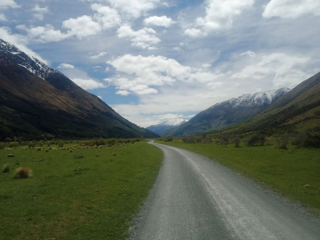
My journey began in Queenstown, where I spent two nights before heading into the Old Woman Range.


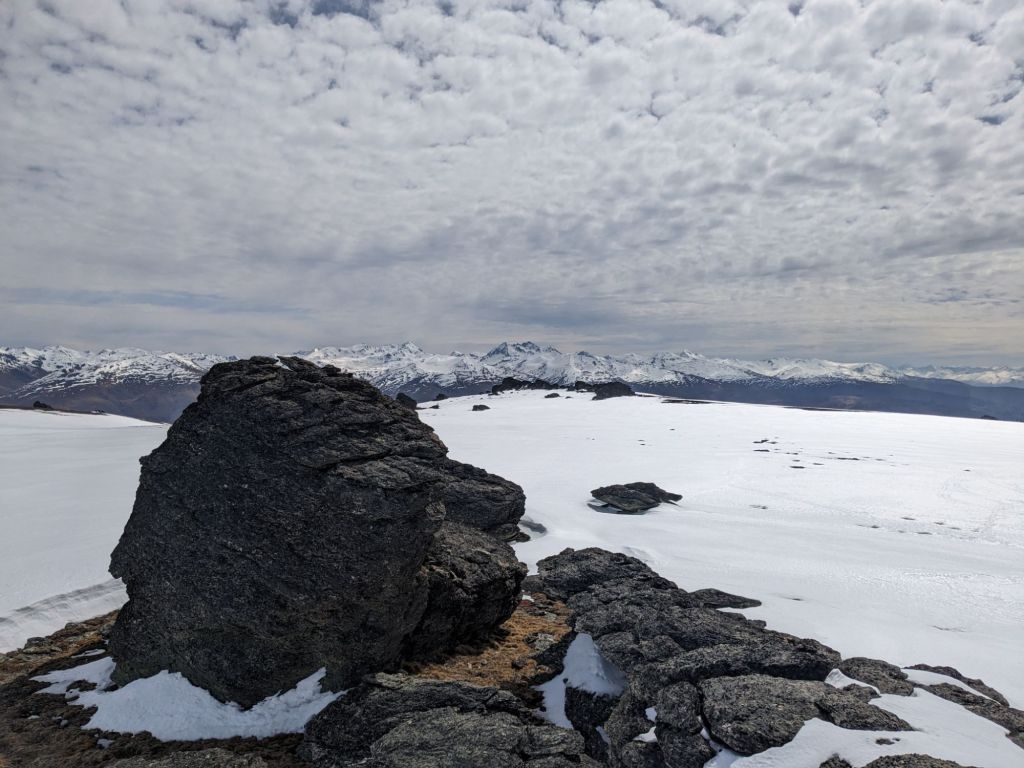
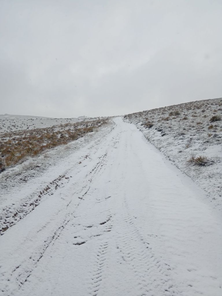
Eager to get into the wild, I may have been a little too ambitious. With most of my second day spent walking through deep snow, pushing my bike. It wasn’t until I dropped below the snow line after a very long day that I could finally make camp for the night.


My original plan had been to follow a 4×4 track south through the range however, this would take me higher and not wanting to head back into the snow, I changed course leaving the mountains for the Otago Rail Trail. This decommissioned railway line provided an easier ride, and I followed it for two days.


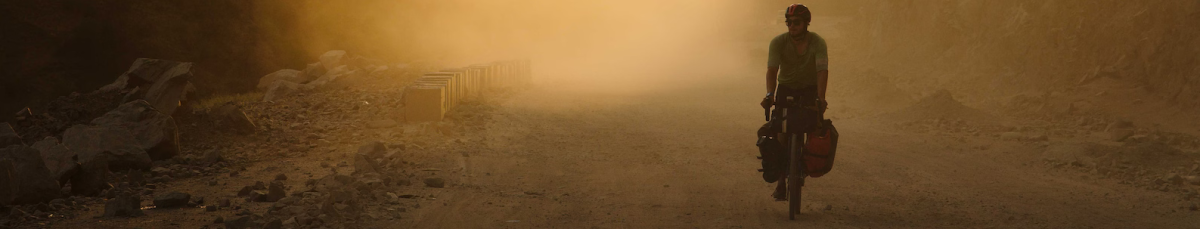
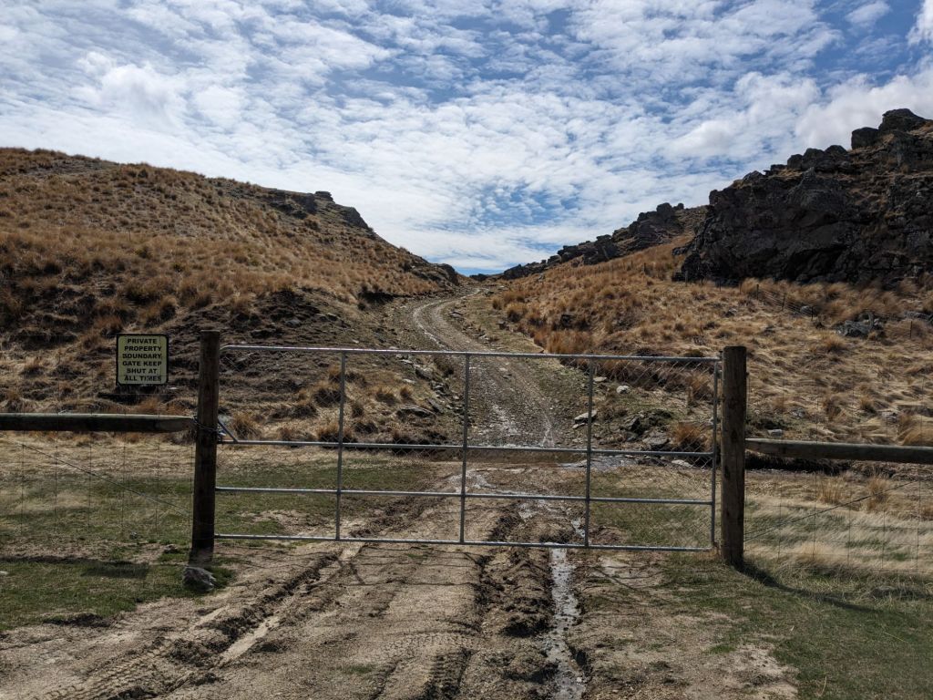
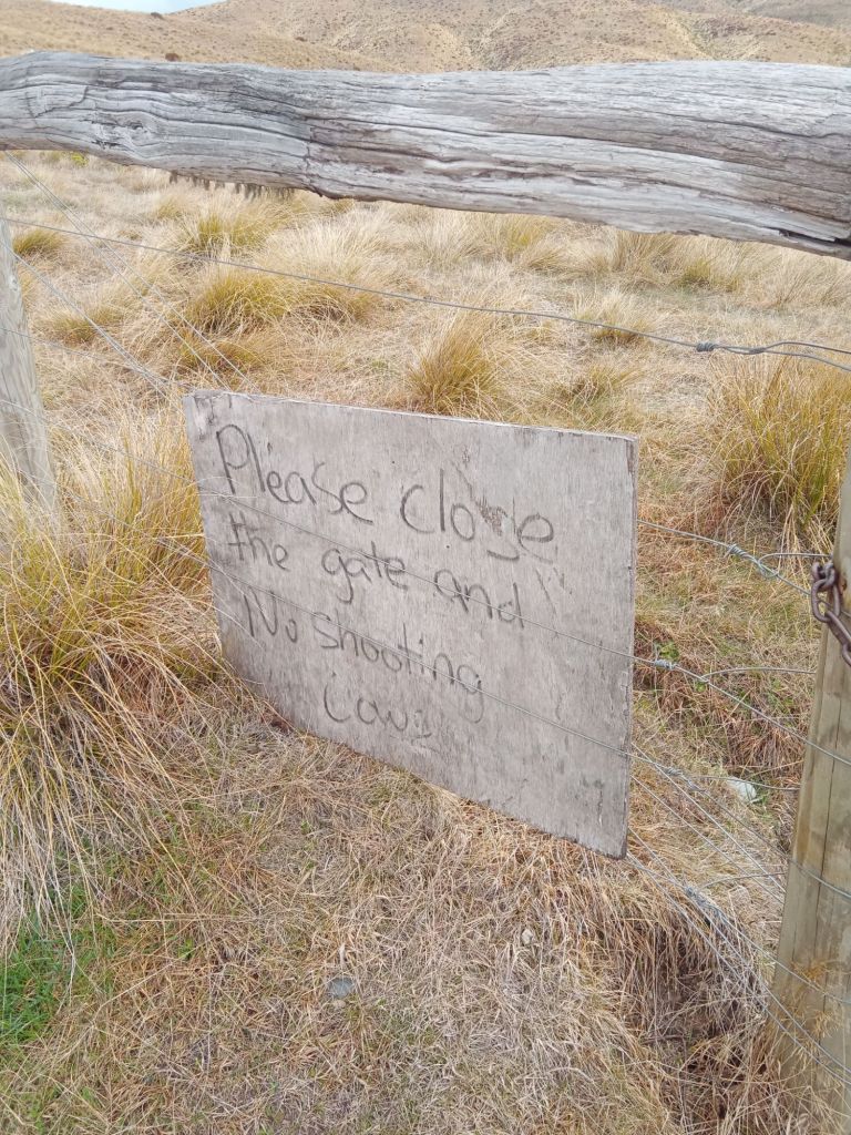
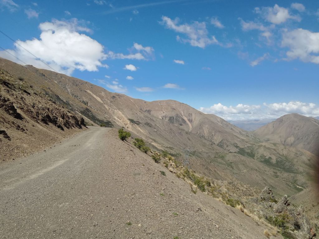
Heading southeast, I joined the Old Dunstan Road, a rugged route built in the 19th century as the most direct path to the coast. It winds through the mountains and was heavily traveled during the gold rush. The riding here was tough—made even harder by locked gates along the route, which I had no choice but to climb over.


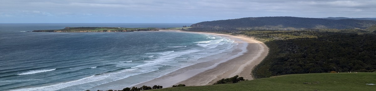
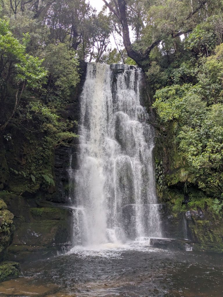
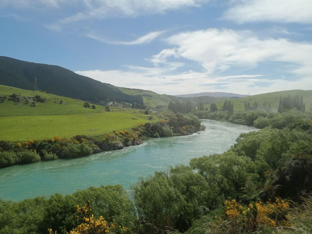
From there, I made my way around the southernmost point of the island, passing through the Catlins. This region offered some of the most stunning coastline I’d seen, along with the impressive McLean Falls.


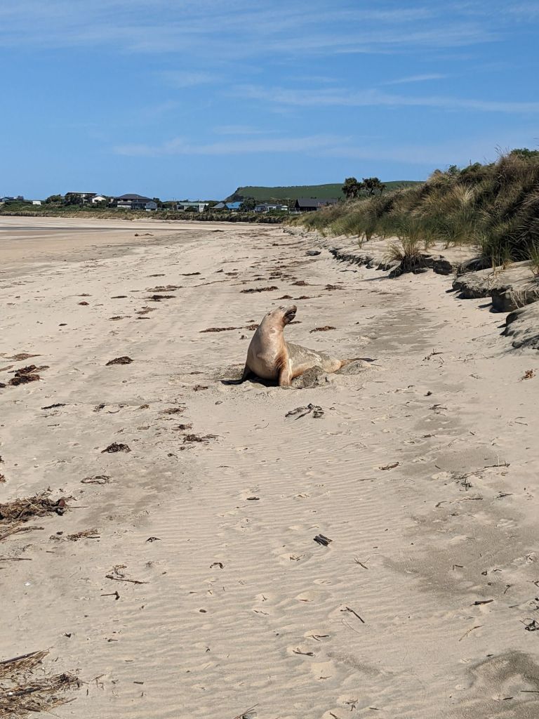
One afternoon, while stopping for lunch on a beach, I spotted a sea lion basking in the sun. Curious, I inched closer, but as soon as it sat up and started growling at me, I took that as my cue to leave it in peace.
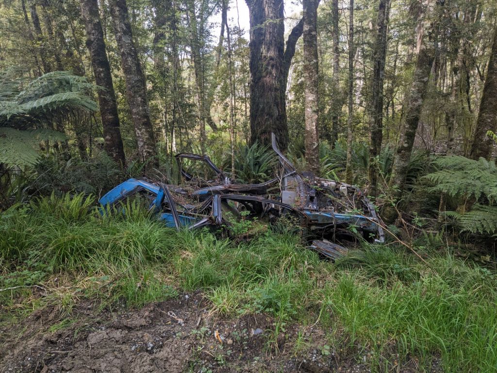
Now heading north, I found myself following empty logging roads through Bald Forest. There was a very eerie atmosphere, only heightened by the abandoned cars I passed along the way and a massive metal gate I had to pass round.


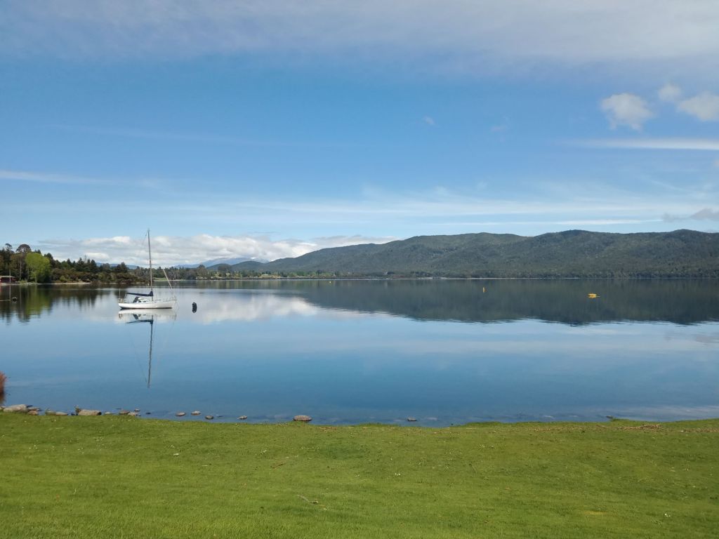
After a few days of riding, I reached Te Anau, where I took a short break and lined up a job at a local hostel—starting in ten days. This forced me to rethink my plan and I now opted to spend these days exploring the center of the South Island.

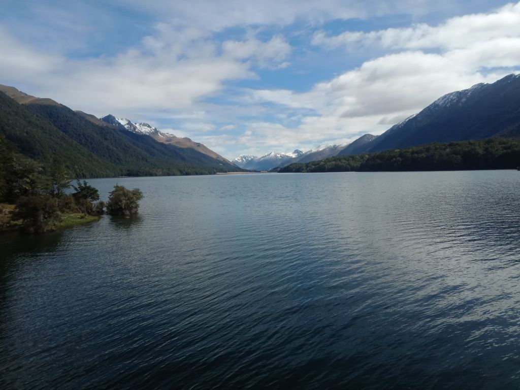
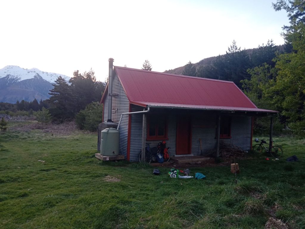
My next stop was the Mavora Lakes and the Von River Valley. Following a rough 4×4 track along the lake, I reached my first backcountry hut in New Zealand. Scattered throughout conservation land, these huts provide a roof and bed for $10 a night. I had this one all to myself and spent the evening cooking by the lake, enjoying the solitude.
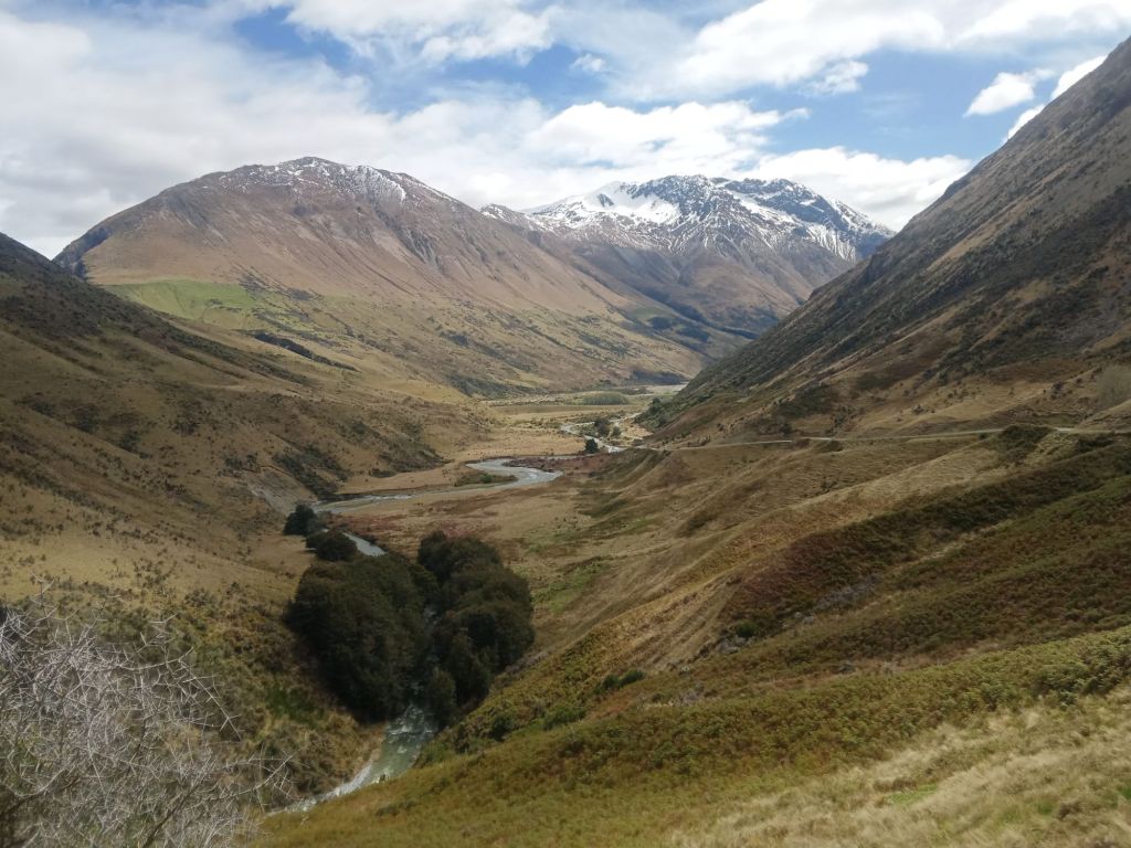


After briefly rejoining the main road north, I turned off again into the mountains, taking the Nevis Road—a track with 14 river crossings. At first, I was removing my shoes for each crossing, but after failing to ride through one river, I accept my feet would just get wet speeding up the process considerably.


That night, the temperature dropped, and by morning, a fresh layer of snow covered everything. Fortunately, the road remained rideable, and once I descended out of the hills, the conditions improved.

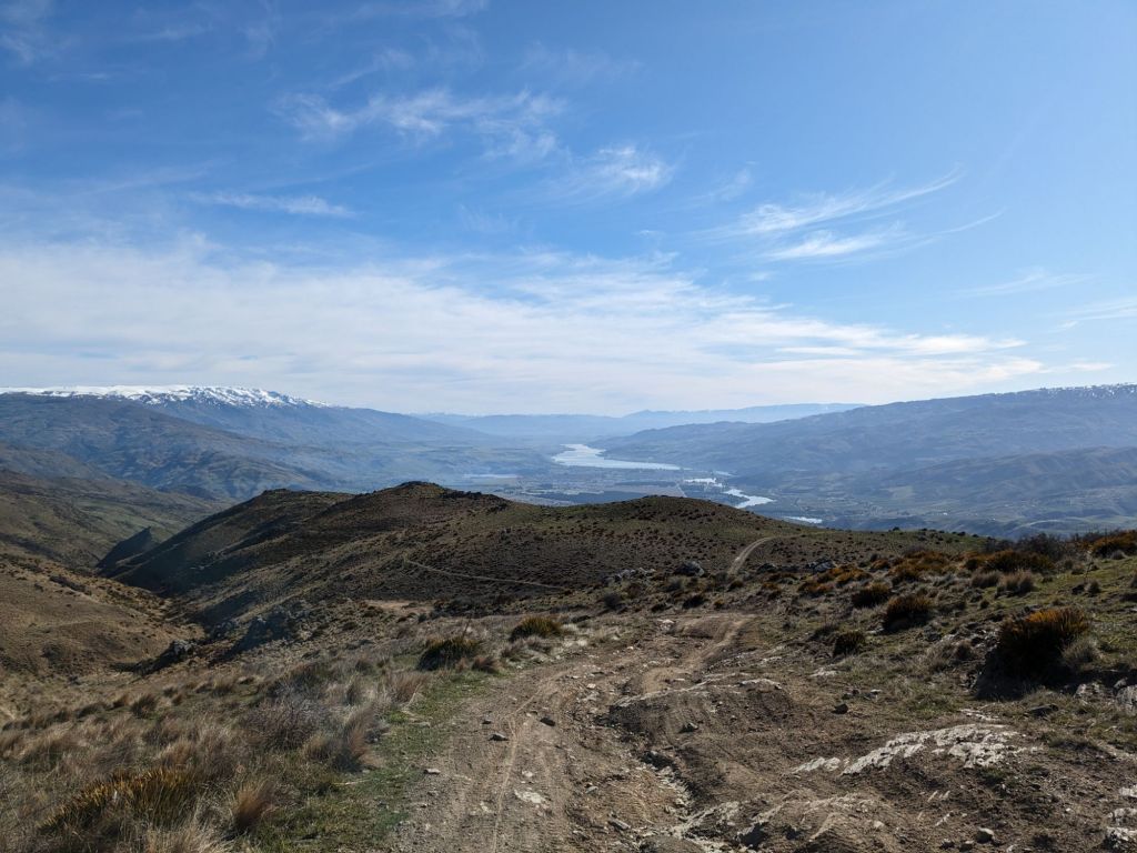
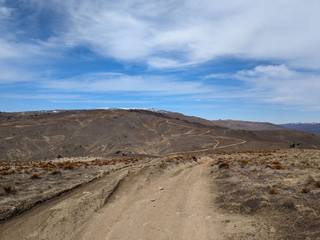
Continuing through Cromwell, I faced the next obstacle: Lindis Pass. The ride up to the saddle at 971m was beautiful, with perfect weather, but as soon as I crossed over the summit, it turned into heavy rain and a hailstorm.


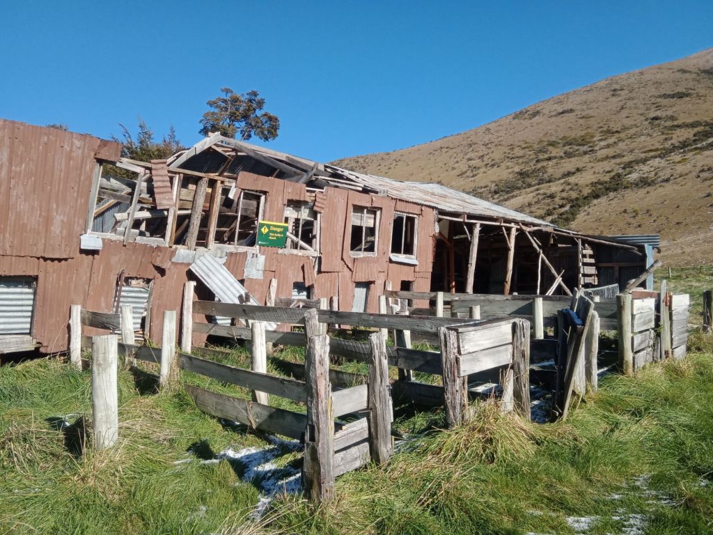
I took shelter at a supermarket in Omarama, waiting out what I thought was the worst of the weather before pushing on toward a campsite along the Alps to Ocean Cycle Trail. An hour later, I spotted a massive black cloud rolling in. Knowing I was only 30 minutes from the campsite, I pushed hard to get there before the storm hit—but I wasn’t fast enough. The last 10 minutes of my ride were spent battling through a full-blown snowstorm. When I finally reached the campsite, I considered setting up my tent under a collapsing barn for shelter, but I didn’t fancy the risk of it falling on me overnight.

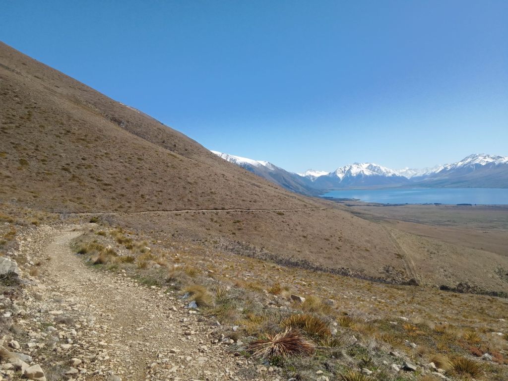
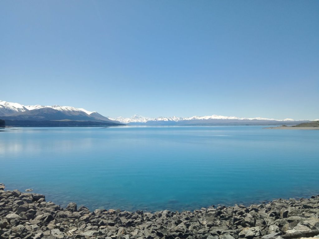
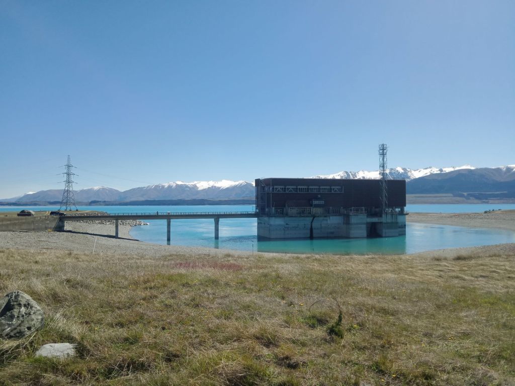
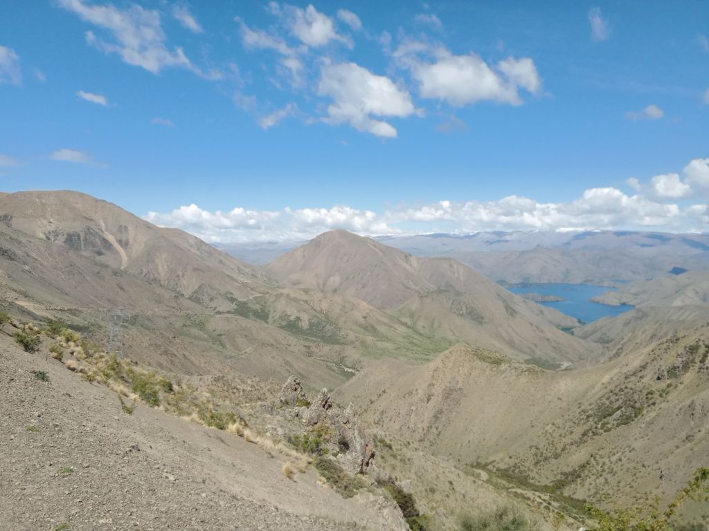
Luckily, the next morning brought perfect weather, and I continued along the trail, riding around the beautiful Lakes Ohau and Pukaki before spending another night in a backcountry hut.

Now needing to start the return journey to Te Anau, I decided to take a different route back, following a rough track down the Tekapo River. This turned out to be one of the most intense parts of my journey, featuring a waist-deep river crossing and one of the bumpiest roads I’d ever ridden.


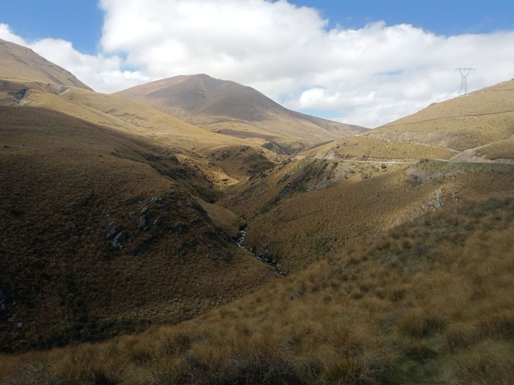
Along the way, I met a fisherman who suggested I take the Black Forest Track. I wasn’t entirely sure I was supposed to be on this farm track, but it was an incredible ride through the mountains.


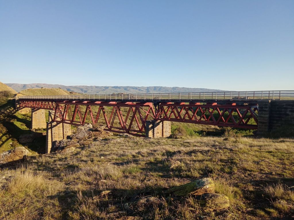
After a night in a campsite, I tackled Dansey’s Pass, another remote mountain route. Unfortunately, the campsite on the conservation land I had planned to stay at was closed, so I pressed on, rejoining the Otago Rail Trail and camping near the historic Poolburn Viaduct after a very long day in the saddle.


The final stretch of this trip took me along the Clutha Gold Trail before a day’s ride west brought me back to Te Anau, wrapping up this first chapter of my New Zealand adventure.

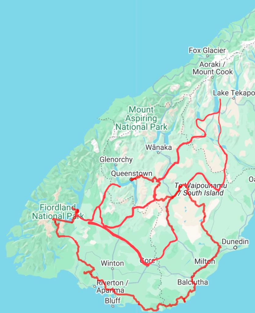
Riding through this new country has been far more challenging than I expected. There were times when I went two full days without passing a town—something I hadn’t anticipated. But that was the result of my choice to ride through the mountains. The landscapes have been incredible, and thankfully, there are some great bike routes threading through them. As shown on the map, it was quite a mess the route I chose. Mostly due to trying to plan another 10 day loop through the same region, leaving me the west coast to explore starting in March.
Now settled in Te Anau, I’m living right on the edge of Fiordland, New Zealand’s largest national park. I’ve been making the most of it, hiking and biking through as much of it as I can and my next post will be detailing some of these adventures.
